Plizio Visual Lab
Bay of Panama
Weather…
Water temperature…
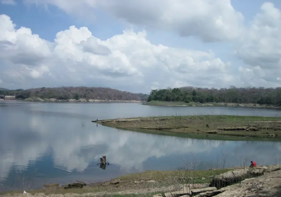
The Bay of Panama is a large body of water on the Pacific coast of Panama, forming the northernmost part of the Gulf of Panama. It is globally recognized for its position directly in front of the Panama City skyline and its strategic proximity to the Pacific entrance of the Panama Canal. The bay's coastal zones are characterized by extensive tidal mudflats and mangrove forests, which act as vital ecosystems for millions of migratory birds. Due to its ecological significance, a portion of the bay was designated as a Ramsar Wetland of International Importance in 2003. Historically, the bay has been a focal point for maritime activity, ranging from Spanish colonial fleets to modern international shipping lanes. Despite its economic importance, the bay faces environmental challenges from urban runoff, leading to large-scale government-led sanitation and restoration projects. Additionally, the bay is a major center for the country's fishing industry, particularly shrimp harvesting, which is a cornerstone of the regional economy.
- Location: Panama
- Nearby: Las Garzas, Panama (12 km)
Best time to visit & climate
The most pleasant time to visit is Jan–Mar.
| Jan | Feb | Mar | Apr | May | Jun | Jul | Aug | Sep | Oct | Nov | Dec | |
|---|---|---|---|---|---|---|---|---|---|---|---|---|
| Avg °C | 27 | 27 | 28 | 28 | 28 | 27 | 27 | 27 | 27 | 27 | 27 | 27 |
| Rain mm | 20 | 9 | 18 | 107 | 245 | 253 | 204 | 220 | 245 | 260 | 248 | 108 |
📋 Practical info
Geography
Facts
- The Bay of Panama includes a Ramsar-protected wetland area of 85,000 hectares.
- Over two million migratory birds utilize the bay's mangroves as a stopover annually.
- The Pacific entrance to the Panama Canal is situated directly within the bay.
- A multi-billion dollar sanitation project for the bay was initiated in 2006.
- The tidal range in the bay can reach an impressive difference of up to 6 meters.
- It is considered one of the most productive shrimp fishing grounds in Central America.
Explore nearby
Notable places around
Route planner — Car & Motorhome
Where do you start? We build the route here, with stops and country notes along the way.
© OpenStreetMap contributors · OpenRouteService
Sights nearby
Frequently asked questions
What can you see in the Bay of Panama?
Can you take boat tours in the bay?
Is the bay suitable for swimming?
What is the best time of day?
Are there waterfront promenades?
Bay of Panama: where is it located?
Bay of Panama: when is the best time to visit?
Bay of Panama: why is it worth visiting?

Nearby cities


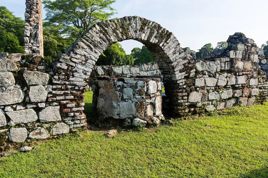
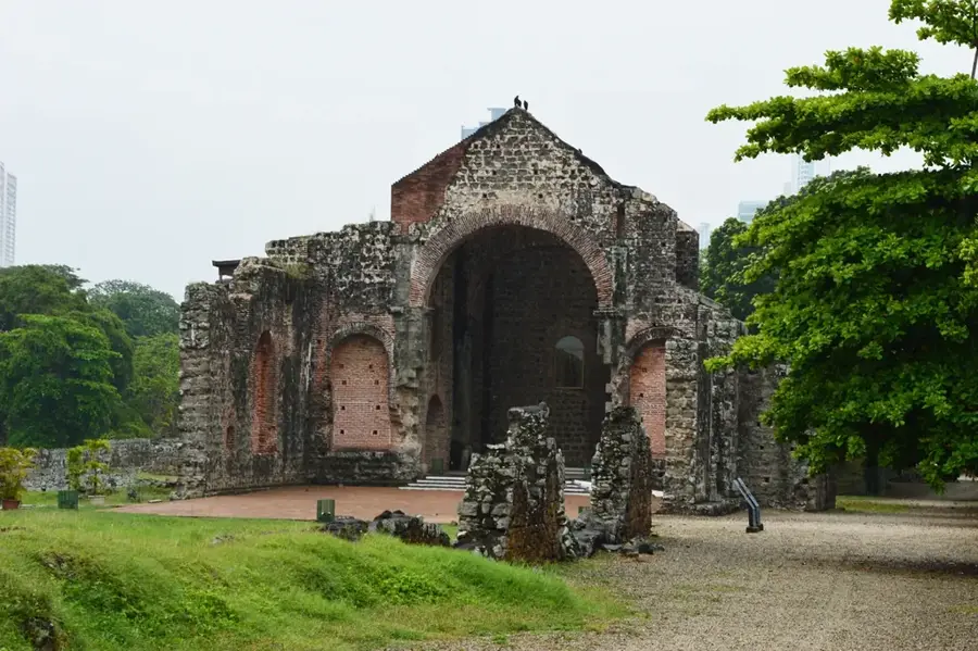
History & landmarks


Nature
More places