Plizio Visual Lab
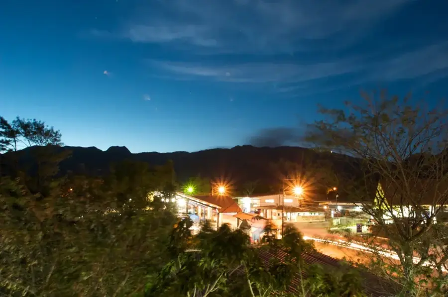
Cerro Hoya National Park
Weather…
Water temperature…
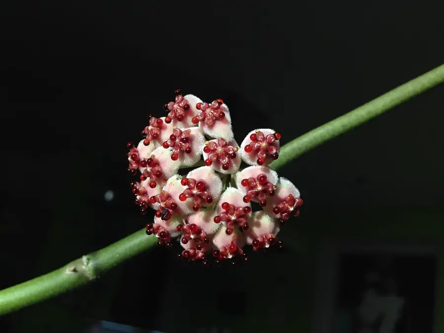
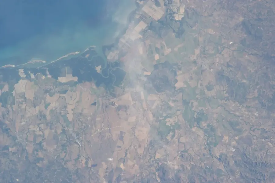
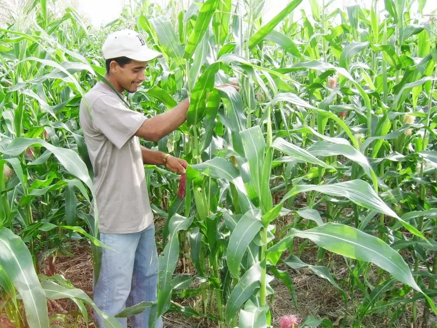
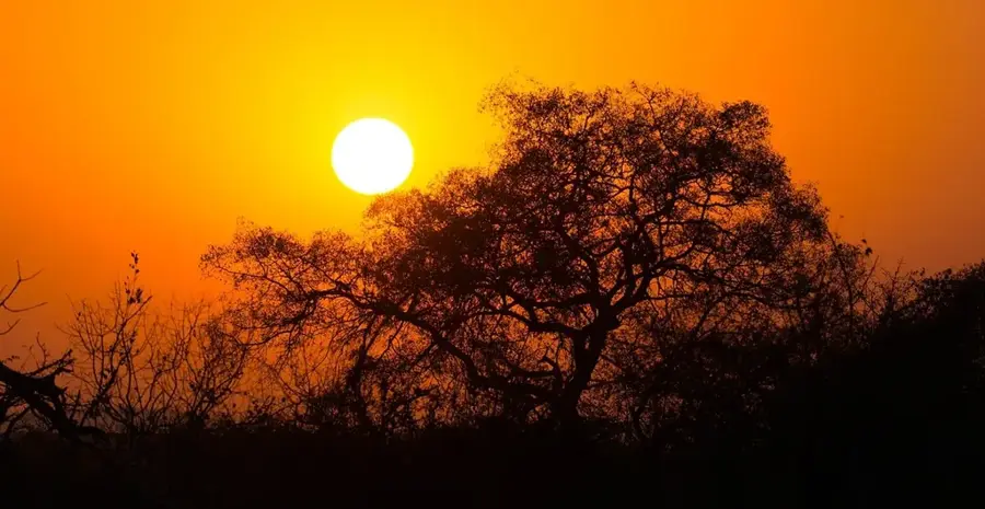
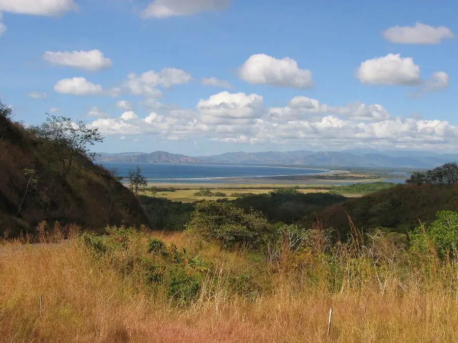
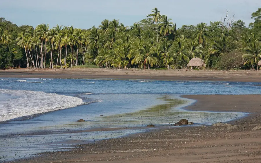
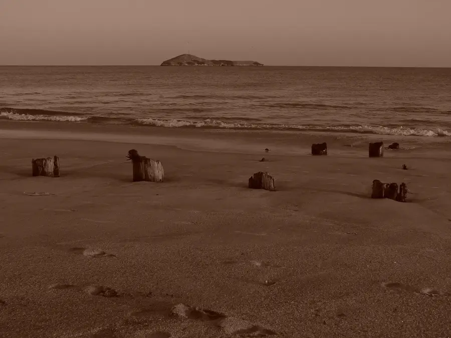
Cerro Hoya National Park extends across the southwestern tip of the Azuero Peninsula in Panama and was declared a protected area on October 2, 1984. Covering an area of approximately 32,557 hectares, the park preserves one of the last significant primary rainforest areas on the country's Pacific coast. The namesake Cerro Hoya, at 1,559 meters, is the highest elevation on the peninsula and, due to its isolation, provides a sanctuary for endangered animal species. Particularly noteworthy is the occurrence of the rare Azuero parakeet and the jaguar, which still find sufficient habitat in the dense forests. Geologically, the massif is of volcanic origin and forms an important watershed for the provinces of Los Santos and Veraguas. The vegetation varies from tropical rainforest in the lower elevations to cooler montane forests in the summit regions, which are often shrouded in clouds. Due to its difficult accessibility, the park is largely pristine and a valuable subject of research for biologists worldwide.
- Location: Panama
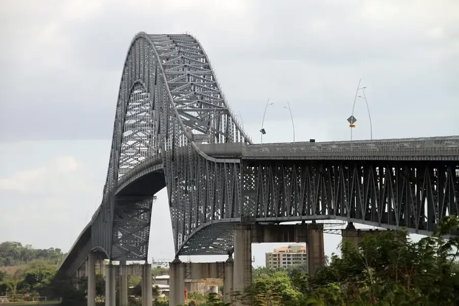
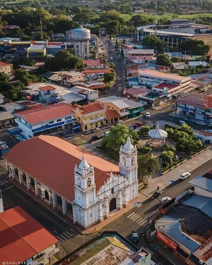
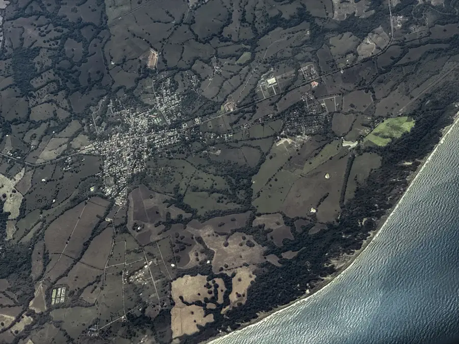
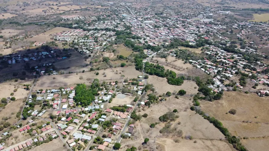
- Nearby: Chitré (32 km)
Best time to visit & climate
The most pleasant time to visit is Jan–Mar.
| Jan | Feb | Mar | Apr | May | Jun | Jul | Aug | Sep | Oct | Nov | Dec | |
|---|---|---|---|---|---|---|---|---|---|---|---|---|
| Avg °C | 24 | 25 | 27 | 27 | 26 | 25 | 25 | 25 | 25 | 25 | 25 | 25 |
| Rain mm | 19 | 9 | 16 | 102 | 253 | 224 | 224 | 236 | 270 | 260 | 259 | 94 |
📋 Practical info
Geography
Facts
- The park was officially established on October 2, 1984.
- It encompasses a total area of approximately 32,557 hectares.
- Cerro Hoya is the highest point of the Azuero Peninsula at 1,559 meters.
- The park is home to over 30 endemic plant species of the region.
- It is one of the most critical habitats for the endangered Azuero parakeet.
- Geologically, the area belongs to the oldest rock formations in Panama.
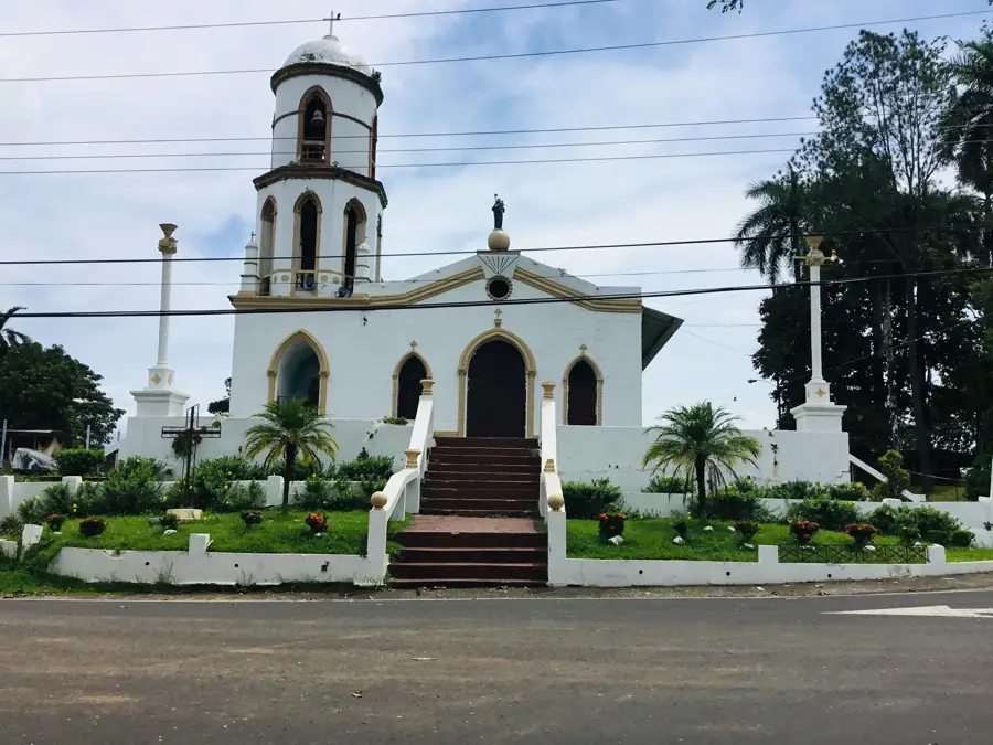
Explore nearby
Notable places around
Route planner — Car & Motorhome
Where do you start? We build the route here, with stops and country notes along the way.
© OpenStreetMap contributors · OpenRouteService
Sights nearby
Frequently asked questions
Do I need a guide for the Cerro Hoya National Park?
What equipment is important for a multi-day hike?
How is the weather in the park?
Are there accommodations directly in the park?
When is the best time for wildlife viewing?
Cerro Hoya National Park: where is it located?
Cerro Hoya National Park: when is the best time to visit?
Cerro Hoya National Park: why is it worth visiting?

Nearby cities
History & landmarks
Nature
More places