Plizio Visual Lab
Cerro Hoya
Weather…
Water temperature…
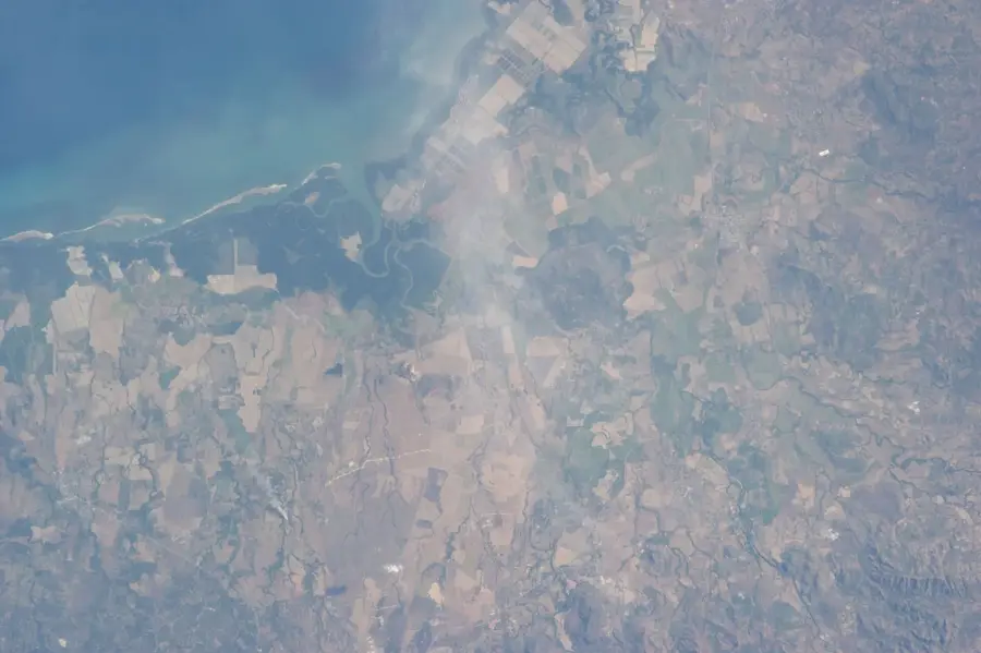
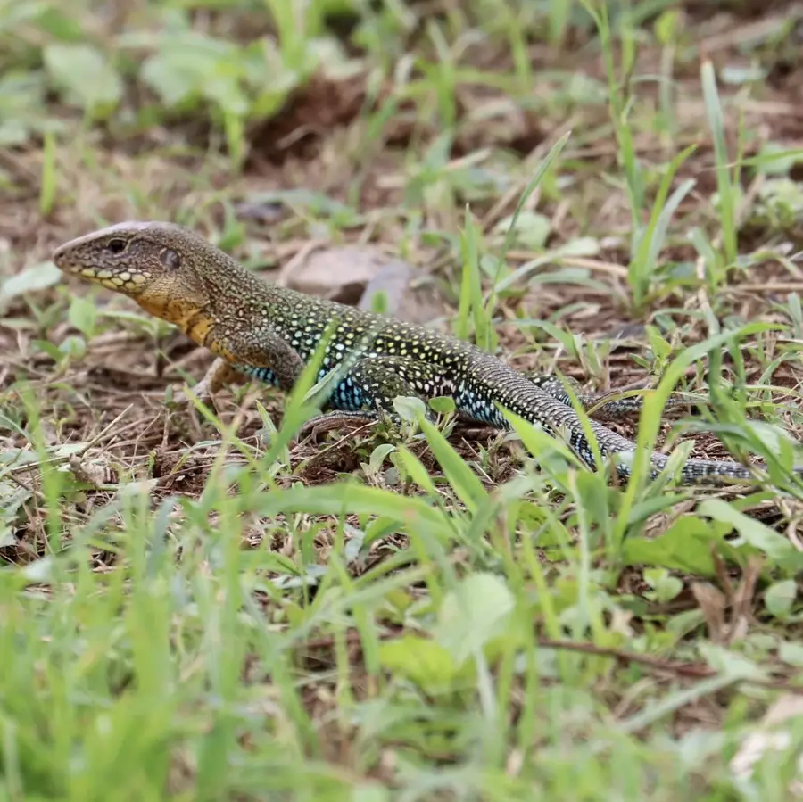
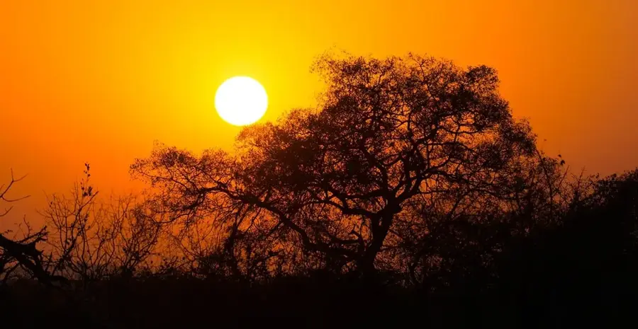
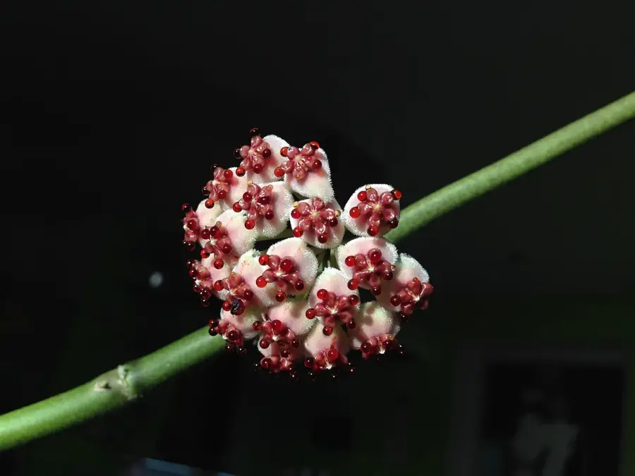
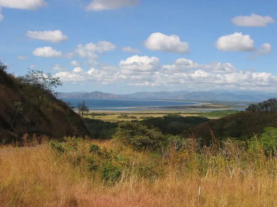
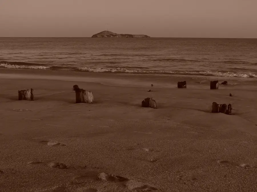
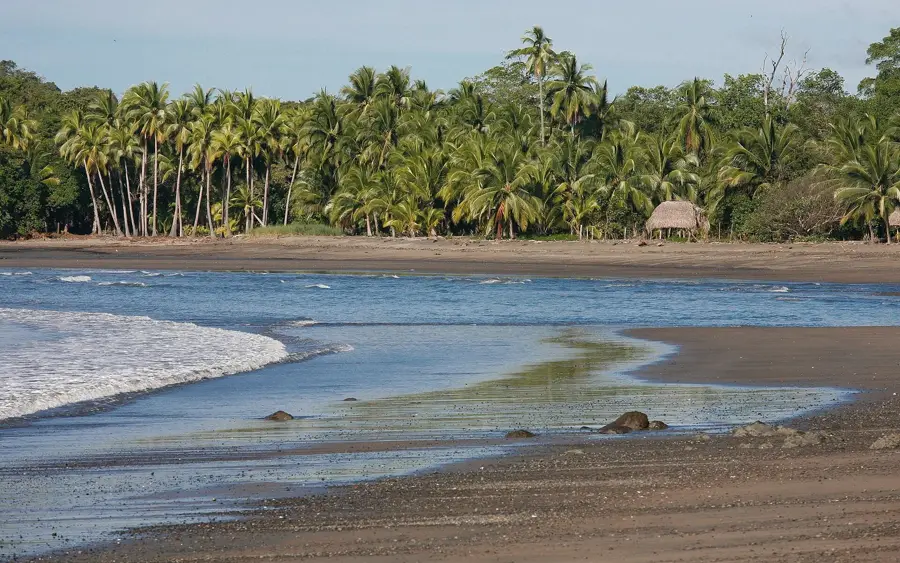
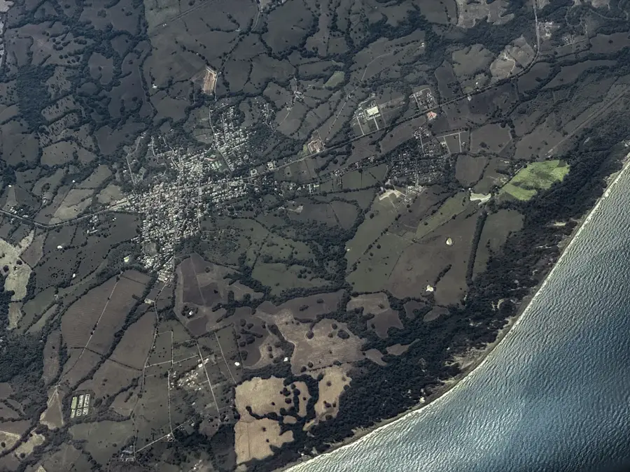
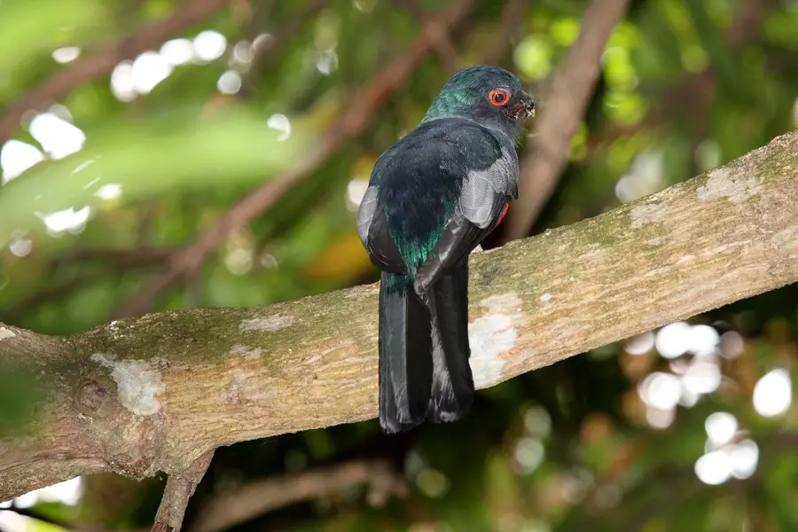
Cerro Hoya is the highest point of the Azuero Peninsula and the centerpiece of Cerro Hoya National Park. This remote and difficult-to-access mountain is located at the southern tip of the peninsula. Geologically, the area is unique in Panama, as its rocks are part of an oceanic volcanic complex belonging to the Caribbean Plate, which was uplifted during tectonic movements. As a result, the park's ecosystem developed in isolation, having an extremely high rate of endemic species in both flora and fauna. The park is covered by dense, untouched tropical rainforests and is one of the last refuges for Geoffroy's spider monkey in Panama. The area's watershed feeds more than ten rivers, which are essential for the peninsula's water supply.
- Location: Panama
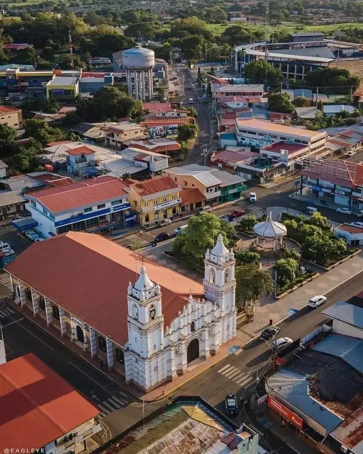
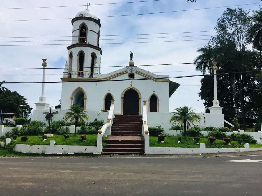
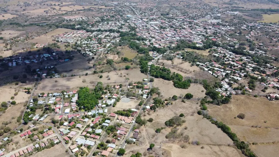
- Nearby: Chitré (30 km)
Best time to visit & climate
The most pleasant time to visit is Jan–Mar.
| Jan | Feb | Mar | Apr | May | Jun | Jul | Aug | Sep | Oct | Nov | Dec | |
|---|---|---|---|---|---|---|---|---|---|---|---|---|
| Avg °C | 24 | 25 | 27 | 27 | 26 | 25 | 25 | 25 | 25 | 25 | 25 | 25 |
| Rain mm | 19 | 9 | 16 | 102 | 253 | 224 | 224 | 236 | 270 | 260 | 259 | 94 |
📋 Practical info
Geography
Facts
- The highest peak of the Azuero Peninsula.
- A unique geological formation of oceanic origin.
- The rate of endemic species, living only here, is high.
- One of the last refuges for Geoffroy's spider monkey.
- The center of Cerro Hoya National Park.
- The headwaters of more than 10 rivers.
- A remote and pristine area.
Explore nearby
Notable places around
Route planner — Car & Motorhome
Where do you start? We build the route here, with stops and country notes along the way.
© OpenStreetMap contributors · OpenRouteService
Sights nearby
Frequently asked questions
What is the best way to reach Cerro Hoya?
Is the area safe for hikers?
How long does a tour to the summit take?
What is the best equipment for this area?
Is there a best time to travel?
Cerro Hoya: where is it located?
Cerro Hoya: when is the best time to visit?
Cerro Hoya: why is it worth visiting?

Nearby cities
History & landmarks
Nature
More places