Plizio Visual Lab
Santa María River
Weather…
Water temperature…
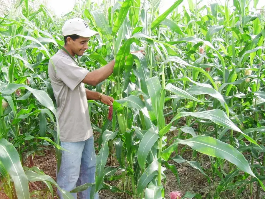
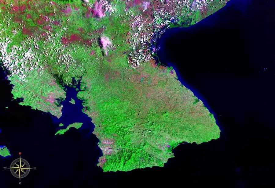
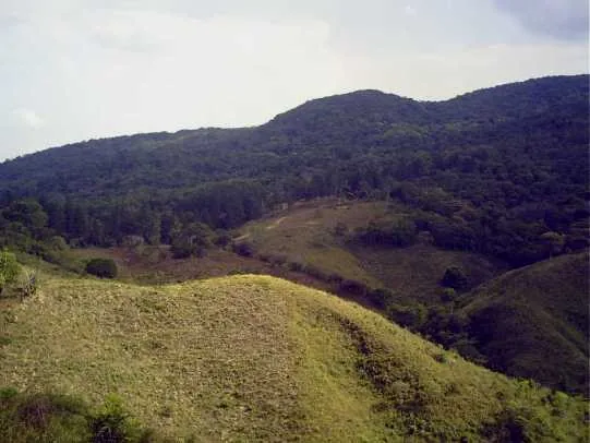
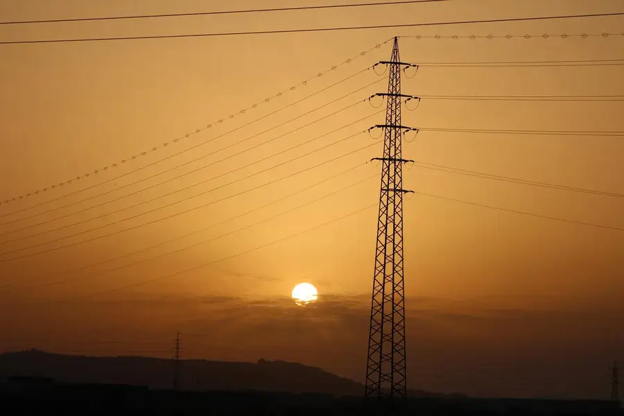
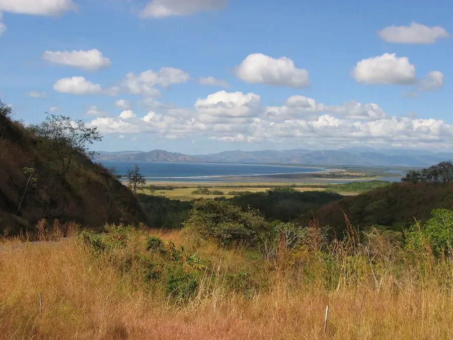
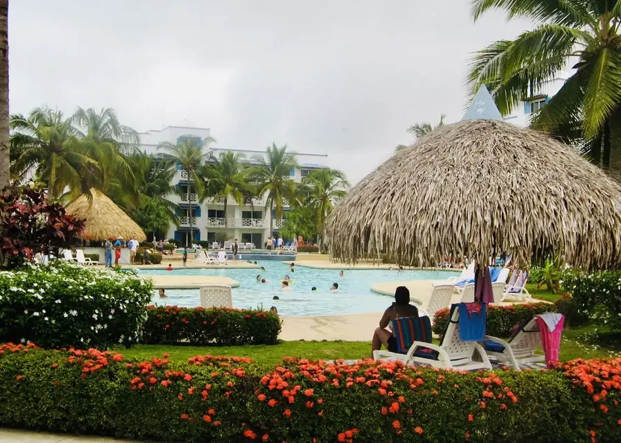
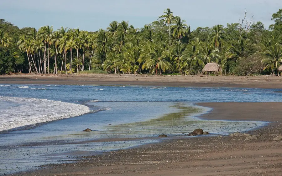
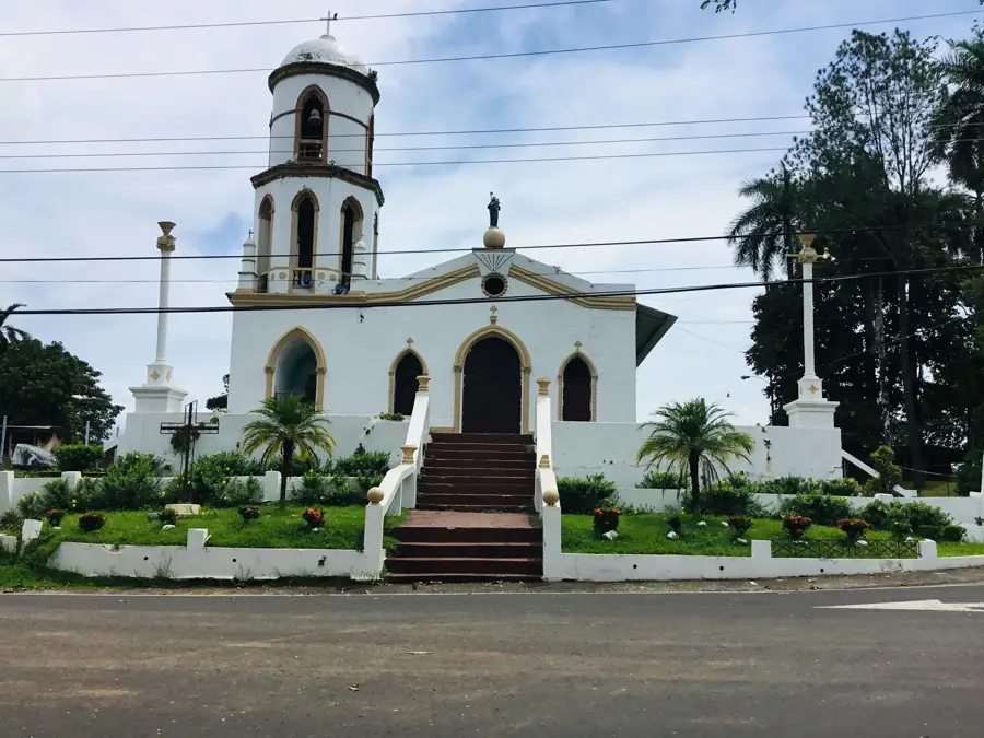
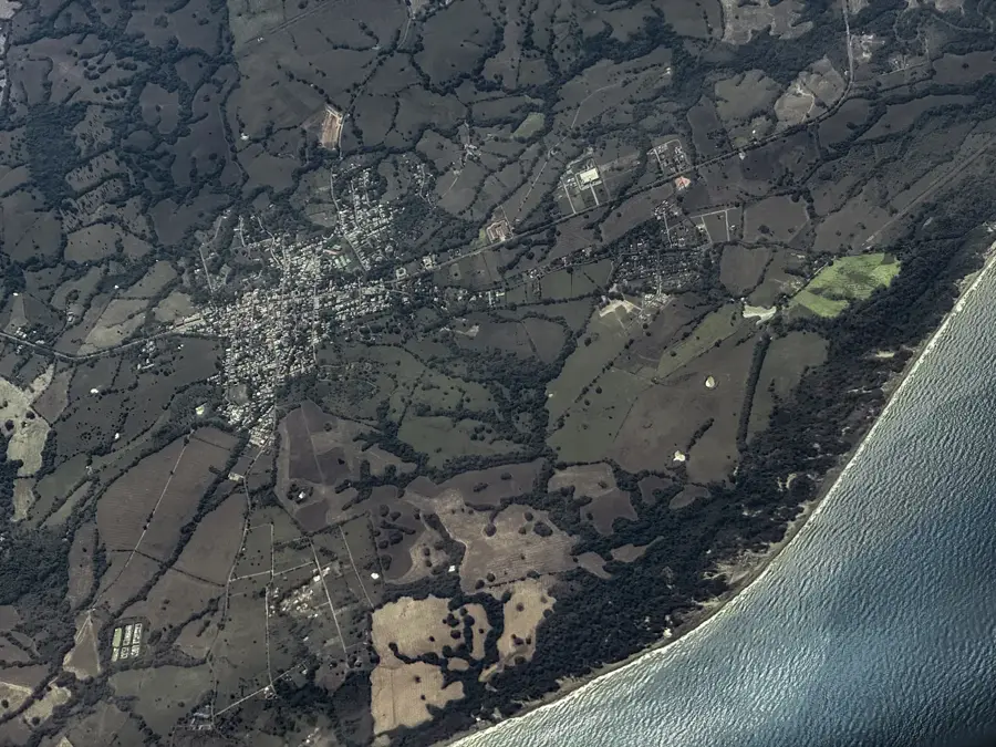
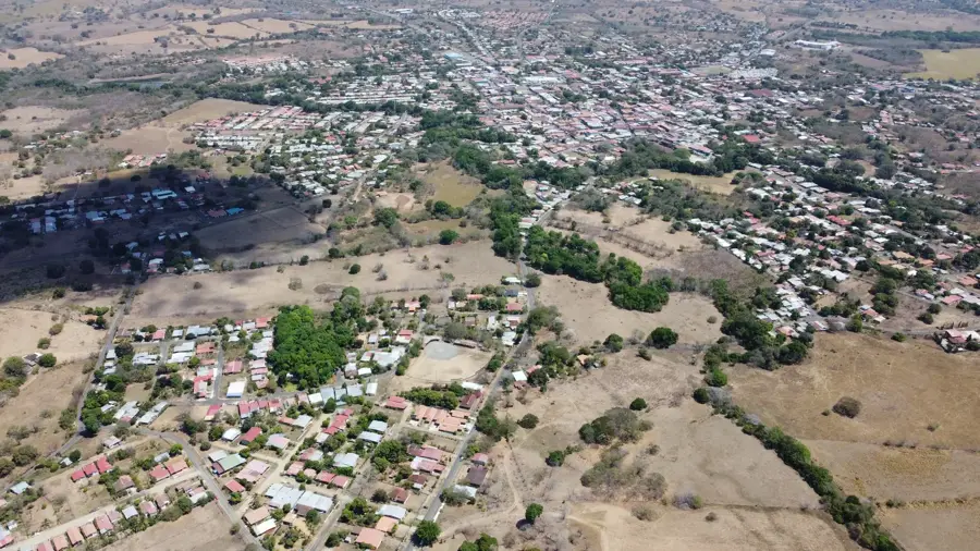
The Santa Maria River is one of central Panama's most significant waterways, stretching approximately 168 kilometers in length. It originates in the highlands of Santa Fé National Park in Veraguas Province and flows through the provinces of Coclé and Herrera before reaching its mouth in the Pacific Ocean. The river is a vital resource for the regional economy, as its waters are heavily utilized for irrigating vast sugarcane plantations and rice fields. Geographically, it carves out wide valleys and is renowned for its fertile riparian zones, which have supported agriculture for centuries. Historically, the river served as a major trade route for indigenous groups and later for Spanish colonizers who established settlements along its banks. Today, the Santa Maria River also contributes to the national energy grid through the La Yeguada hydroelectric project. Despite its importance, the river faces environmental pressures such as sedimentation and runoff from agricultural fertilizers.
- Location: Panama
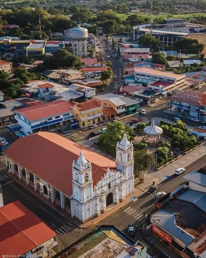
- Nearby: Chitré (30 km)
Best time to visit & climate
The most pleasant time to visit is Jan–Mar.
| Jan | Feb | Mar | Apr | May | Jun | Jul | Aug | Sep | Oct | Nov | Dec | |
|---|---|---|---|---|---|---|---|---|---|---|---|---|
| Avg °C | 25 | 27 | 28 | 29 | 27 | 27 | 26 | 26 | 26 | 26 | 26 | 26 |
| Rain mm | 16 | 9 | 16 | 99 | 246 | 212 | 202 | 217 | 255 | 246 | 243 | 86 |
📋 Practical info
Geography
Facts
- The Santa Maria River spans a total length of approximately 168 kilometers.
- It originates in the Cordillera Central at an elevation exceeding 1,000 meters.
- The river empties into the Bay of Parita within the larger Gulf of Panama.
- Its drainage basin covers an area of more than 3,300 square kilometers.
- It serves as the primary water source for the La Yeguada hydroelectric plant.
- The river is the main supplier of potable water for cities such as Santiago.
Explore nearby
Notable places around
Route planner — Car & Motorhome
Where do you start? We build the route here, with stops and country notes along the way.
© OpenStreetMap contributors · OpenRouteService
Sights nearby
Frequently asked questions
What is special about the Santa María River?
Can you fish on the river?
Are there tours on the river?
Is the river heavily polluted?
What is the best time to visit?
Santa María River: where is it located?
Santa María River: when is the best time to visit?
Santa María River: why is it worth visiting?

Nearby cities
History & landmarks
More places