Plizio Visual Lab
Azuero Mountains
Weather…
Water temperature…
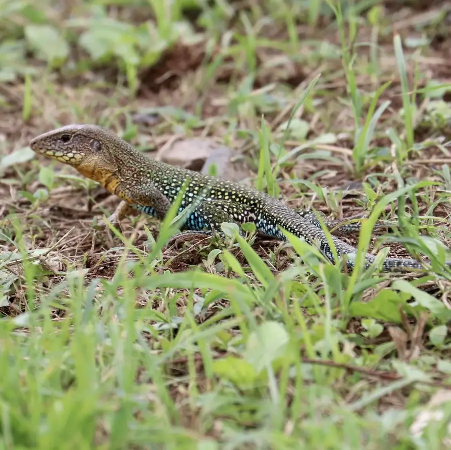
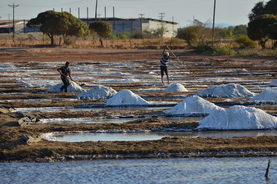
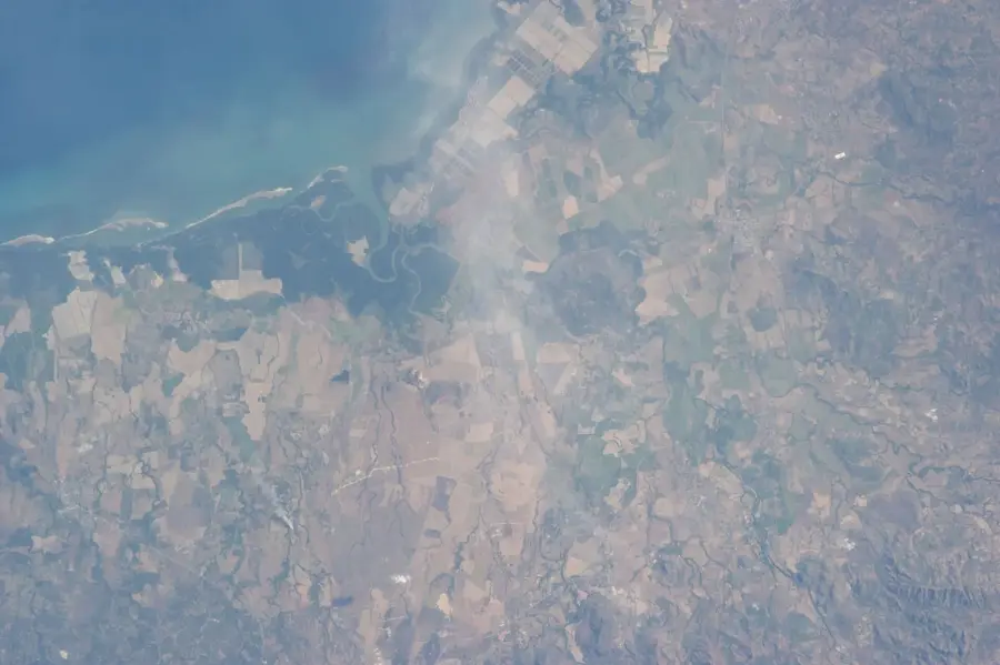
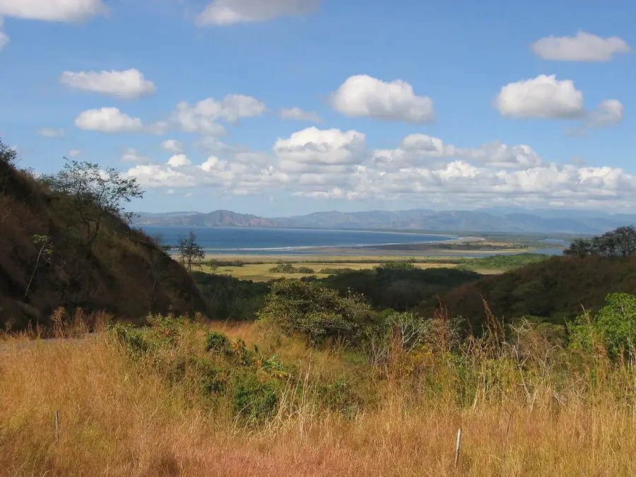
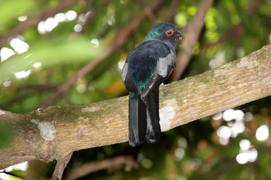
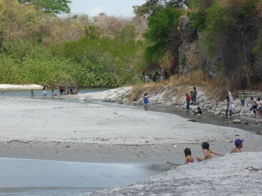
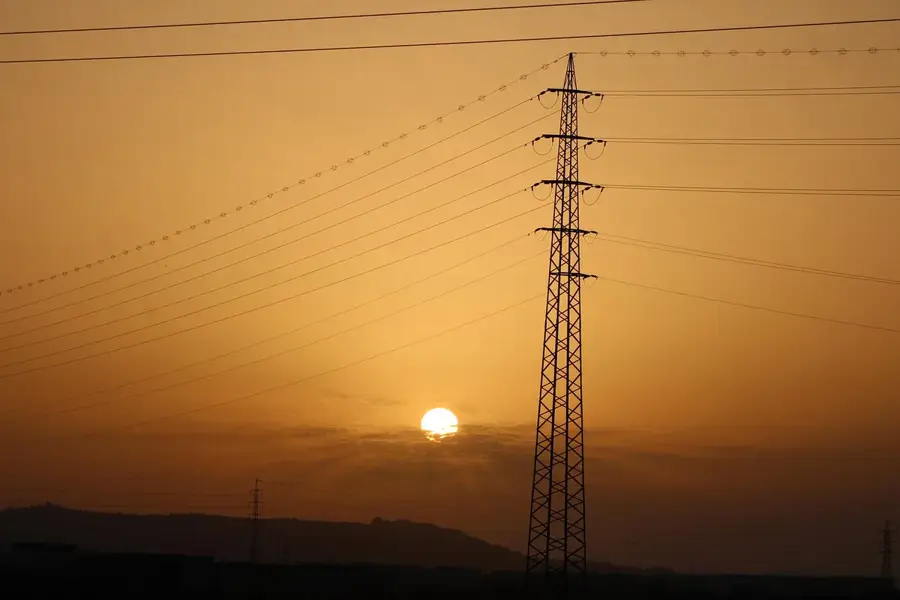
The Azuero Mountains are an isolated mountain range on the western part of the Azuero Peninsula. This region is one of the driest areas in Panama, in contrast to the humid tropical climate of the rest of the country. The highest points of the range are Cerro Hoya and Cerro Canajagua. The area is also geologically distinct, being part of an ancient volcanic complex that emerged from an oceanic plate. The isolation has led to a high degree of endemism; numerous plant and animal species are found only here in the world. The mountains are covered by tropical dry forests and more humid mountain forests. The Azuero Mountains are a crucial source for the region's water supply, with numerous rivers originating here. The area is threatened by deforestation due to the expansion of pastures and agricultural lands, but Cerro Hoya National Park protects its most valuable parts.
- Location: Panama
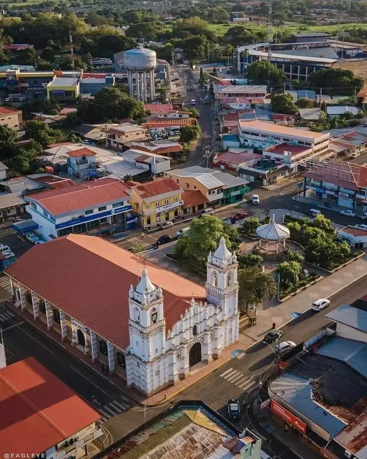
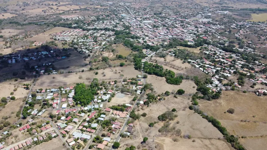
- Nearby: Chitré (10 km)
Best time to visit & climate
The most pleasant time to visit is Jan–Mar.
| Jan | Feb | Mar | Apr | May | Jun | Jul | Aug | Sep | Oct | Nov | Dec | |
|---|---|---|---|---|---|---|---|---|---|---|---|---|
| Avg °C | 24 | 25 | 27 | 27 | 26 | 25 | 25 | 25 | 25 | 25 | 25 | 25 |
| Rain mm | 19 | 9 | 16 | 102 | 253 | 224 | 224 | 236 | 270 | 260 | 259 | 94 |
📋 Practical info
Geography
Facts
- An isolated mountain range on the Azuero Peninsula.
- Located in one of Panama's driest regions.
- Geologically, it is part of an ancient volcanic complex.
- The rate of endemic species living here is high.
- Its highest peaks are Cerro Hoya and Cerro Canajagua.
- Characterized by tropical dry forests.
- Cerro Hoya National Park protects the area.
Explore nearby
Notable places around
Route planner — Car & Motorhome
Where do you start? We build the route here, with stops and country notes along the way.
© OpenStreetMap contributors · OpenRouteService
Sights nearby
Frequently asked questions
What makes the Azuero mountains special?
Can you camp there?
Is the area safe?
How is the weather?
Are there marked trails?
Azuero Mountains: where is it located?
Azuero Mountains: when is the best time to visit?
Azuero Mountains: why is it worth visiting?

Nearby cities

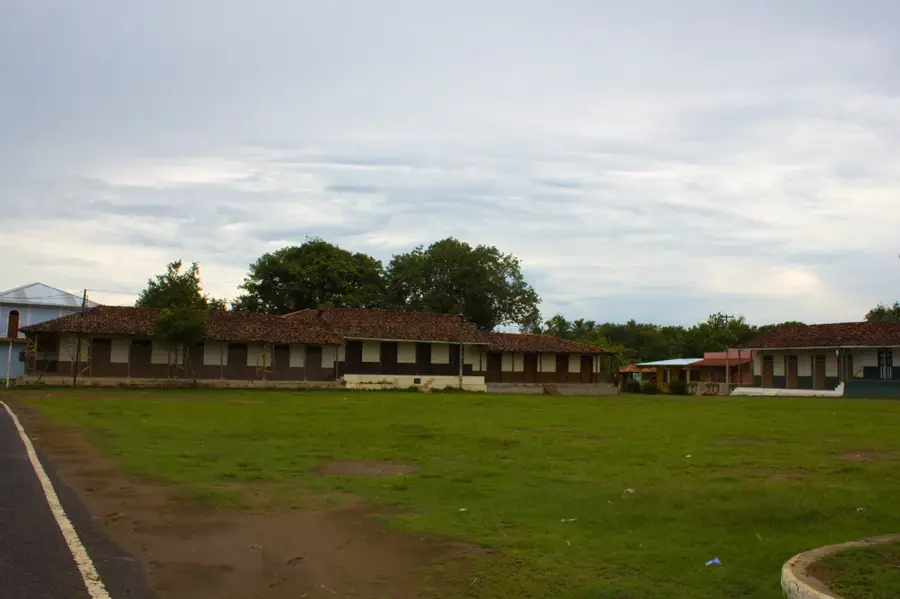
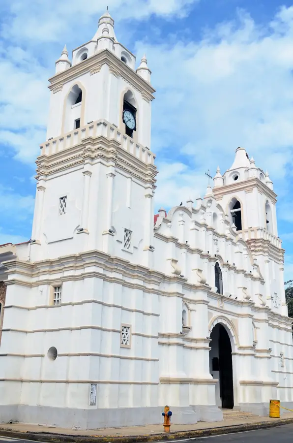
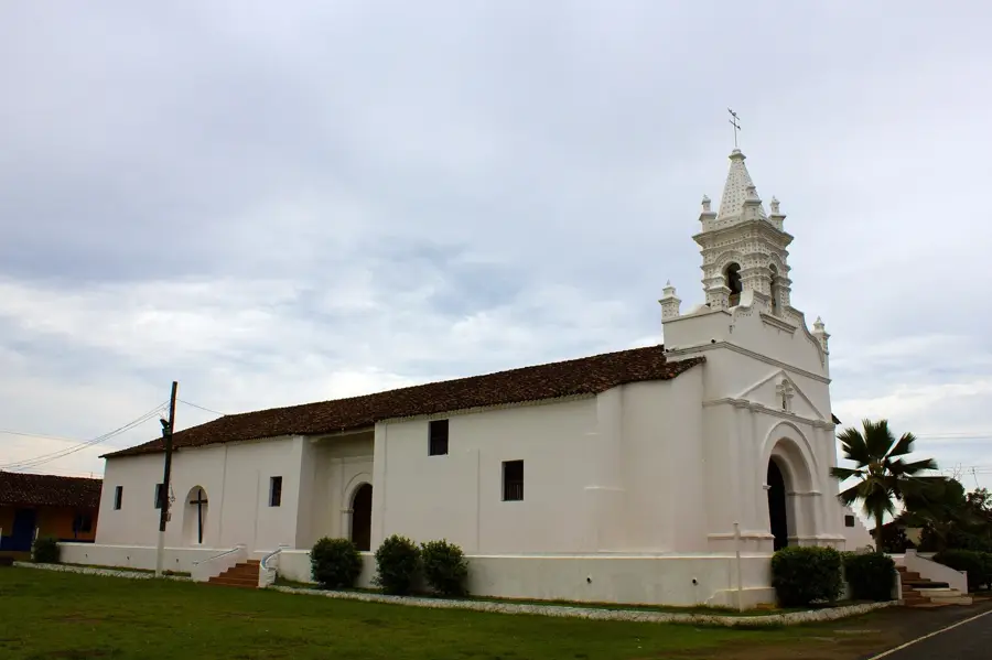
History & landmarks
Nature
More places