Plizio Visual Lab
Goudoumaria

ℹ️Practical info — Goudoumaria
▾
🌤 Weather — 5 days
📍 Nearby
Sights nearby
💡 Tips
- The local date harvest season is the best time to visit for the freshest produce and bustling markets.
- Temperatures drop significantly at night in the desert; bring warm layers.
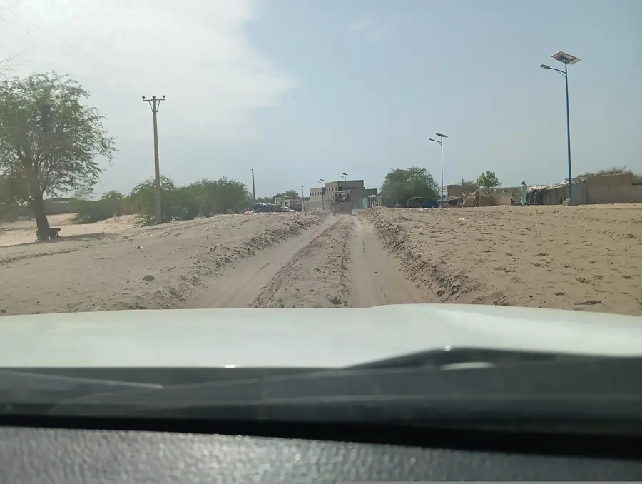
- A 4x4 vehicle is highly recommended for navigating the sandy tracks leading to and around the commune.
- Ask for permission before photographing the date palm groves or local traders.
🍽 Food
Buy these directly from the growers in the oasis for the best quality.
A traditional meal available at the central food stalls.
A refreshing drink often available from nomadic herders passing through.
🛍 Shopping · 🧘 Quiet spots
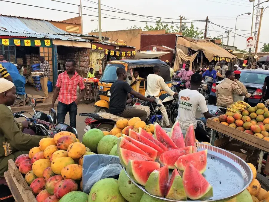
The main market is especially active in the mornings; you'll find the best selection here.
Crafted by locals, these are durable, useful, and completely authentic.
The shaded areas under the palms offer a cool, tranquil retreat.
Just outside town, first-rate for undisturbed views of the desert sky.
Water temperature…
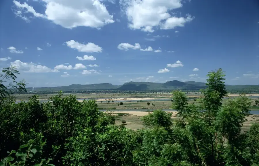
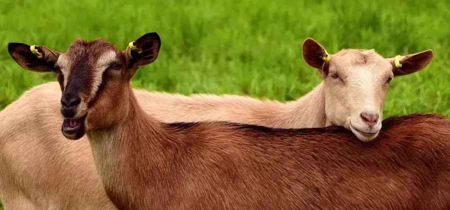
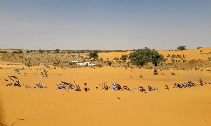
Goudoumaria is a remote yet strategic town in eastern Niger, located in the Diffa Region along the vital Route Nationale 1. The town is situated in a dry, sandy Sahelian landscape characterized by shifting dunes and sparse vegetation, reflecting the environmental challenges of the region. Economically, Goudoumaria acts as a major hub for livestock trade, with its weekly market serving as a critical point for selling cattle and small ruminants to Nigerian buyers. The town's population is a cultural mix of Kanuri, Fulani, and Hausa peoples, creating a diverse social environment rooted in trade and pastoralism. Water access provided by deep boreholes is the lifeline for both the resident population and the nomadic herds passing through. As a midway point between the larger cities of Zinder and Diffa, it provides essential rest and refueling services for trans-Saharan travelers. Efforts to combat desertification through reforestation projects are visible in the outskirts, aiming to stabilize the encroaching sands. Goudoumaria remains a resilient outpost of commerce and community in the vast reaches of eastern Niger.
Explore on the map
How well do you know Niger?
Find cities, landscapes and regions in 10 varied challenges on the interactive map.
Your journey, your memory
A postcard from Goudoumaria
Turn your own photo into a personal postcard with a local stamp. Free and no sign-up required.
Create a postcard- Location: Niger
- Population: ~6.289 (2024)
Best time to visit & climate
The most pleasant time to visit is Jan, Feb, Dec.
| Jan | Feb | Mar | Apr | May | Jun | Jul | Aug | Sep | Oct | Nov | Dec | |
|---|---|---|---|---|---|---|---|---|---|---|---|---|
| Avg °C | 21 | 24 | 29 | 32 | 34 | 33 | 30 | 28 | 28 | 29 | 25 | 22 |
| Rain mm | 0 | 0 | 0 | 1 | 9 | 44 | 101 | 169 | 60 | 8 | 0 | 0 |
Geography
Facts
- Located on Route Nationale 1, the main highway to Diffa.
- A significant regional market for cattle and livestock export.
- Serves as the administrative seat for the Goudoumaria Department.
- Surrounded by a landscape of semi-desert sand dunes.
- Primary water source comes from deep underground aquifers.
- Home to a diverse mix of Kanuri farmers and Fulani herders.
Explore nearby
Notable places around
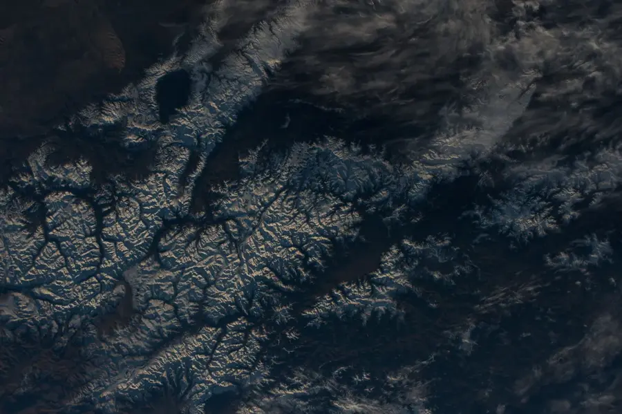
Route planner — Car & Motorhome
Where do you start? We build the route here, with stops and country notes along the way.
© OpenStreetMap contributors · OpenRouteService
Frequently asked questions
What is Goudoumaria?
Are there tourist destinations?
What is the infrastructure like?
Should one stop there?
What is the climate like?
Goudoumaria: where is it located?
Goudoumaria: when is the best time to visit?
Goudoumaria: why is it worth visiting?

Nearby cities
More places