Plizio Visual Lab
Eastern Damagaram Plateau

Weather…
Water temperature…
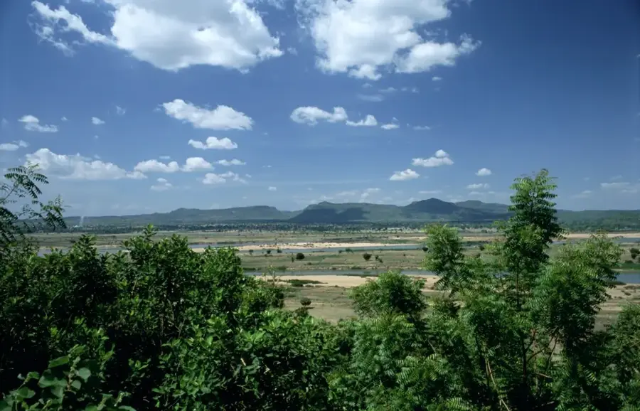
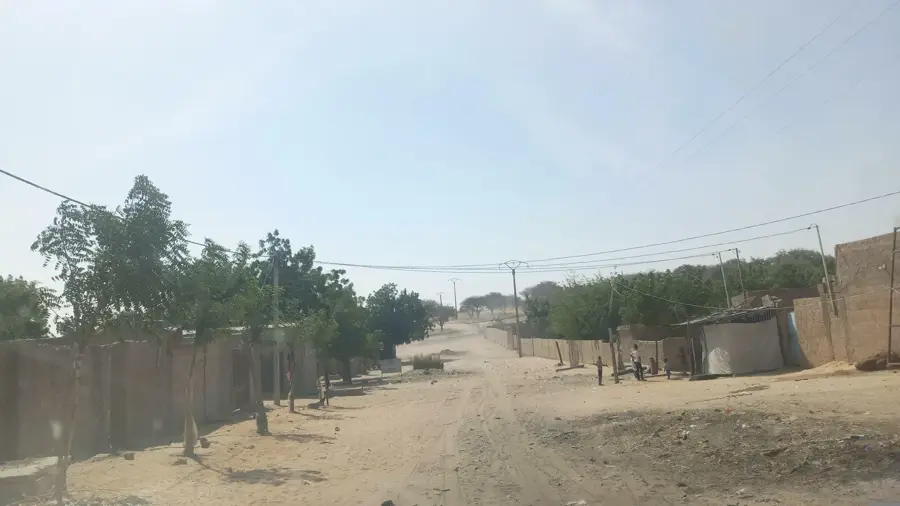
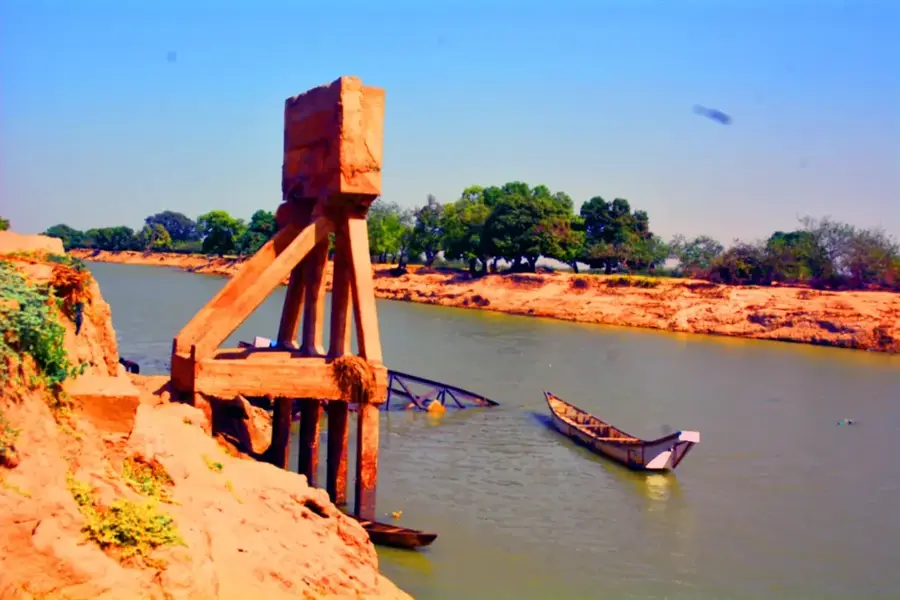
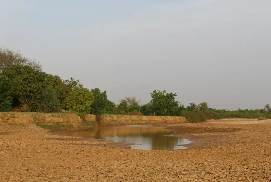
The Eastern Damagaram Plateau is a geographically and historically significant region in southeastern Niger, marking the transition between the Sahel and the desert. Geologically, the plateau consists of a mix of granite formations and overlying sandstone layers, creating a rugged and often inaccessible landscape. The name 'Damagaram' refers to the historical Sultanate of Zinder, whose power center was located on this plateau and represented a dominant regional power in the 19th century. The region is characterized by strategically important wells dug deep into the rock to secure water supplies for the population and caravans. Ecologically, the plateau supports resilient flora such as acacias and thorn bushes adapted to irregular rainfall. Today, the area is known for its livestock farming and peanut cultivation, with traditional Hausa and Kanuri architecture defining the cultural landscape. The plateau serves as an important watershed and is a significant site for researching pre-colonial African statehood.
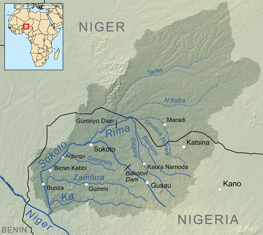
- Location: Niger
- Nearby: Gouré (62 km)
Best time to visit & climate
The most pleasant time to visit is Jan, Feb, Dec.
| Jan | Feb | Mar | Apr | May | Jun | Jul | Aug | Sep | Oct | Nov | Dec | |
|---|---|---|---|---|---|---|---|---|---|---|---|---|
| Avg °C | 19 | 23 | 27 | 32 | 34 | 34 | 32 | 29 | 30 | 29 | 24 | 20 |
| Rain mm | 0 | 0 | 0 | 1 | 7 | 27 | 77 | 134 | 39 | 5 | 0 | 0 |
📋 Practical info
Geography
Facts
- Zinder was the capital of the historical Damagaram Sultanate.
- The plateau sits at an average elevation of 450 meters.
- Peanut cultivation is one of the region's main economic activities.
- The area is a cultural melting pot of Hausa and Kanuri peoples.
- Traditional mud-brick palaces in Zinder are architectural highlights.
- It contains vital water storage sites for the semi-arid zone.
Explore nearby
Notable places around
Route planner — Car & Motorhome
Where do you start? We build the route here, with stops and country notes along the way.
© OpenStreetMap contributors · OpenRouteService
Sights nearby
Frequently asked questions
What does the Eastern Damagaram Plateau offer?
Is the plateau easy to reach?
Do I have to pay to visit?
How is the infrastructure?
Are there nearby cities?
Eastern Damagaram Plateau: where is it located?
Eastern Damagaram Plateau: when is the best time to visit?
Eastern Damagaram Plateau: why is it worth visiting?

Nearby cities
Nature


More places