Plizio Visual Lab
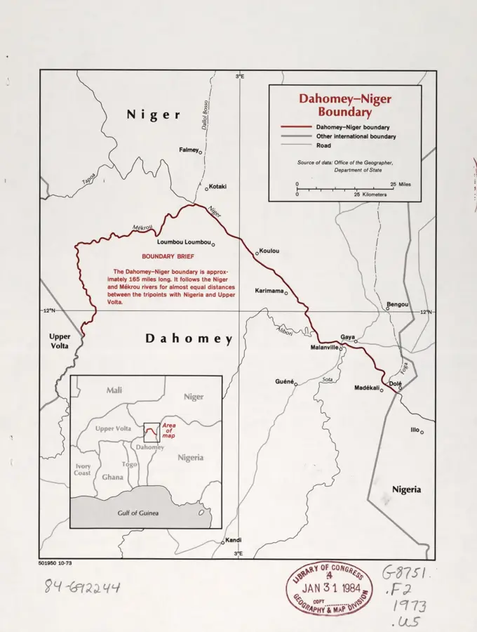
Gaya River Port
Weather…
Water temperature…
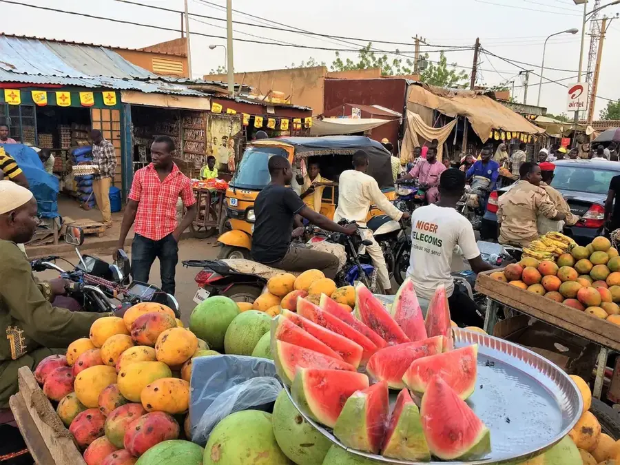
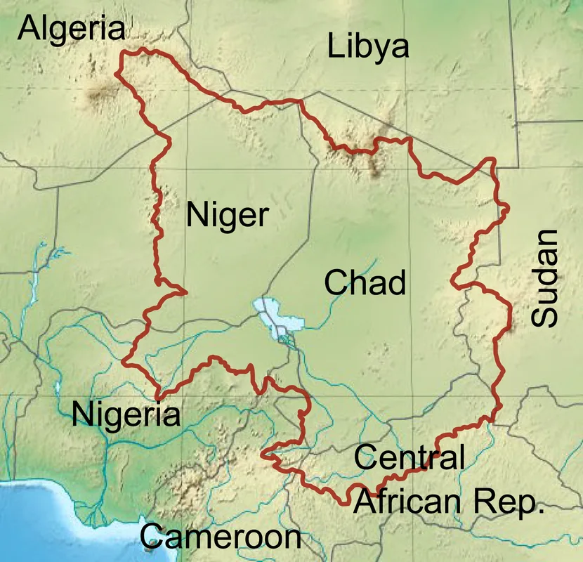
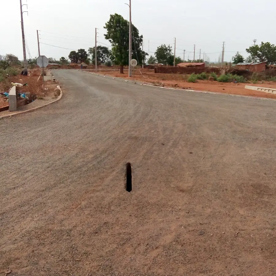
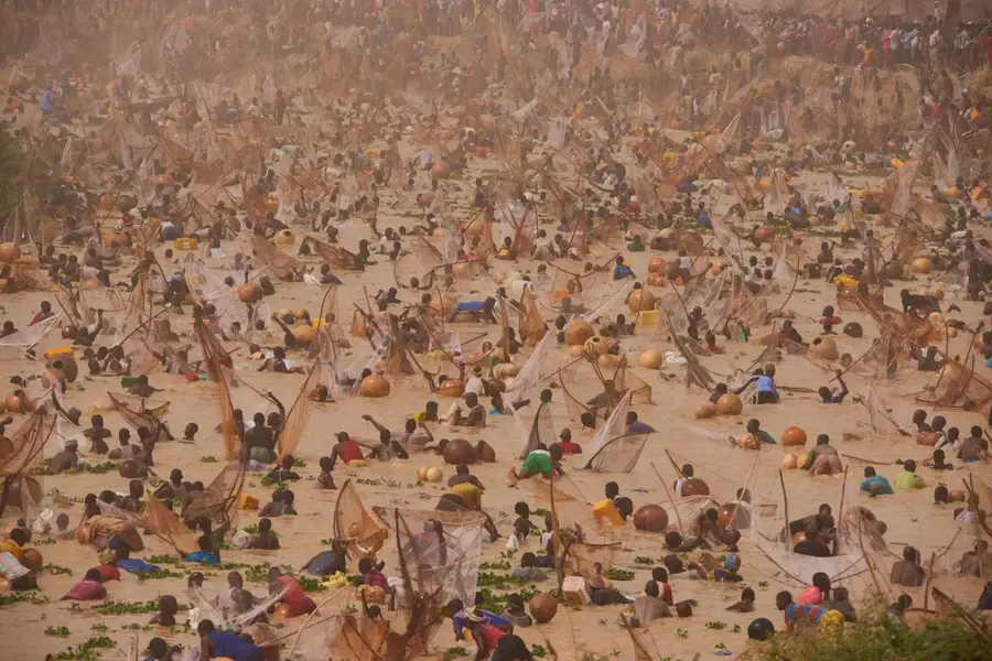
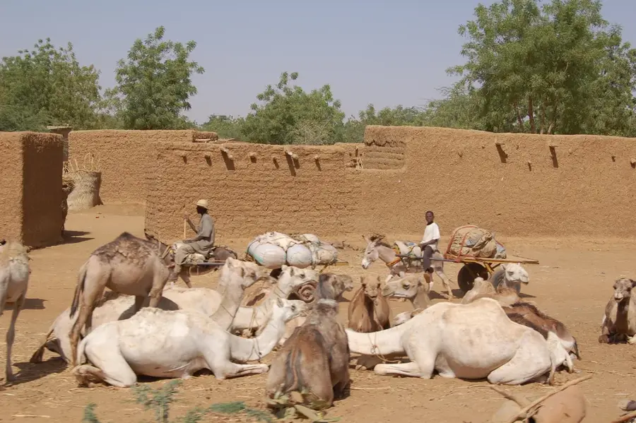
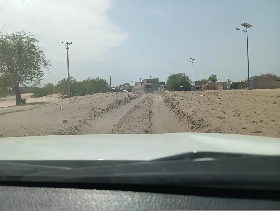
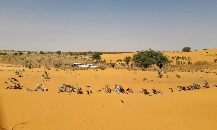
The Gaya River Port is Niger's primary maritime gateway via the Niger River, located in the southernmost city of the country near the borders of Benin and Nigeria. It serves as a critical transshipment point for goods traveling the Cotonou-Niamey corridor, facilitating the movement of agricultural products, construction materials, and fuel. In recent years, the facility has undergone infrastructure upgrades to accommodate larger barges and improve warehouse storage capacity. Its strategic location significantly reduces transport costs for the landlocked nation compared to purely road-based logistics. The port is a cornerstone of Niger's foreign trade and regional economic integration within the ECOWAS framework. Additionally, Gaya acts as a major customs hub where a substantial portion of the country's imports are processed. The port's economic activity supports thousands of jobs in the logistics and service sectors of the Dosso Region.
Best time to visit & climate
The most pleasant time to visit is Jan, Nov, Dec.
| Jan | Feb | Mar | Apr | May | Jun | Jul | Aug | Sep | Oct | Nov | Dec | |
|---|---|---|---|---|---|---|---|---|---|---|---|---|
| Avg °C | 24 | 28 | 31 | 33 | 32 | 30 | 28 | 27 | 27 | 27 | 26 | 24 |
| Rain mm | 0 | 1 | 5 | 17 | 59 | 96 | 153 | 225 | 145 | 44 | 1 | 0 |
📋 Practical info
Geography
Facts
- Gaya is situated on the Niger River at an elevation of approximately 200 meters.
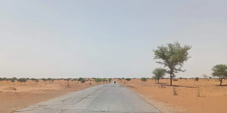
- The port is a key component of the 1,000 km long Cotonou-Niamey trade corridor.
- It serves as the main transshipment point for goods arriving from the Port of Cotonou in Benin.
- The population of Gaya was recorded at over 60,000 residents in the 2012 census.
- The rainy season between June and September dictates the river's navigability for large vessels.
- The port is linked to the capital city, Niamey, via the important N7 national highway.
Explore nearby
Notable places around
Route planner — Car & Motorhome
Where do you start? We build the route here, with stops and country notes along the way.
© OpenStreetMap contributors · OpenRouteService
Sights in the town Gaya River Port (1)
Sights nearby
Frequently asked questions
What is the port of Gaya?
Where is Gaya located?
Can the port be visited?
Why is Gaya important?
What is in the surroundings?
Gaya River Port: where is it located?
Gaya River Port: when is the best time to visit?
Gaya River Port: why is it worth visiting?

Nearby cities

Nature

More places