Plizio Visual Lab
Maïné-Soroa
ℹ️Practical info — Maïné-Soroa
▾
🌤 Weather — 5 days
📍 Nearby
Sights nearby
💡 Tips
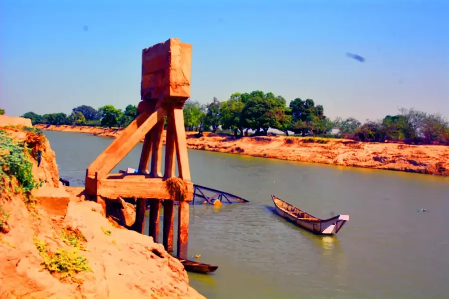
- Observe the fertile riparian zones of the Komadougou Yobé River, which contrast with the dry surrounding environment.
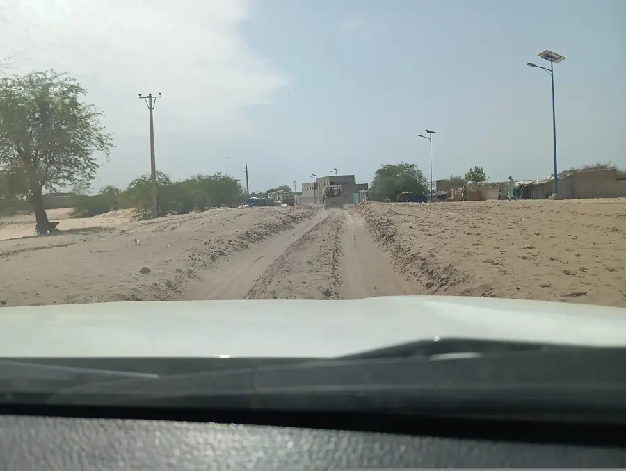
- Pay attention to the traditional Banco architecture (mud-brick) in the historic town center.
- Plan your visit during the rainy season when Peul and Wodaabe nomads cross the region with their herds.
- Respect the privacy of the nomad camps in the area.
- Wear sturdy footwear for walks in the clayey Kadzell plains.
🍽 Food
Often sold by Peul women along the roadside, very creamy and sometimes lightly sweetened.
A hearty dish with local vegetables from the fertile riverbank gardens.
Freshly baked and often served with a sauce made from baobab leaves.
🛍 Shopping · 🧘 Quiet spots
Colorful, handcrafted nomad headwear available in the central market.
Artfully decorated fans made from Doum palm leaves, handy as a souvenir.
Shaded spots under trees along the bank are great for relaxing and watching the river scenery.
The small irrigated plots provide a green and peaceful environment.
Water temperature…
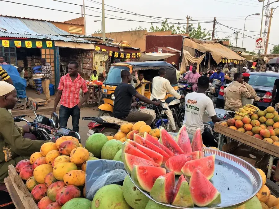
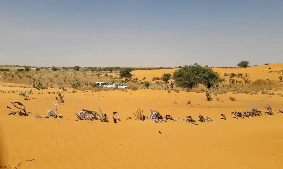
Maïné-Soroa is a historic town in the far southeast of Niger, located within the Diffa Region near the border with Nigeria. It serves as a significant cultural gateway to the Lake Chad Basin and is a major center for the Kanuri people. Historically, the town was a vital stop on trans-Saharan trade routes, a heritage that continues today through its bustling livestock market, which is one of the largest in the eastern Sahel. Geographically, Maïné-Soroa is situated in a transitional zone where sahelian savannah meets the encroaching desert, yet it features fertile depressions known as 'koulongas' that allow for the cultivation of dates and grains. The town holds a special place in Nigerien national history as the birthplace of the country's first president, Hamani Diori, adding a layer of political significance to its cultural prestige. Architecturally, it displays traditional mud-brick structures alongside more modern administrative facilities. Despite facing regional security and environmental challenges, Maïné-Soroa remains a resilient hub of commerce and tradition in eastern Niger.
Explore on the map
How well do you know Niger?
Find cities, landscapes and regions in 10 varied challenges on the interactive map.
Your journey, your memory
A postcard from Maïné-Soroa
Turn your own photo into a personal postcard with a local stamp. Free and no sign-up required.
Create a postcard- Location: Niger
- Nearby: Diffa (70 km)
- Population: ~17.778 (2024)
Best time to visit & climate
The most pleasant time to visit is Jan, Feb, Dec.
| Jan | Feb | Mar | Apr | May | Jun | Jul | Aug | Sep | Oct | Nov | Dec | |
|---|---|---|---|---|---|---|---|---|---|---|---|---|
| Avg °C | 22 | 25 | 29 | 33 | 34 | 33 | 30 | 27 | 28 | 28 | 26 | 22 |
| Rain mm | 0 | 0 | 0 | 2 | 14 | 53 | 123 | 197 | 72 | 11 | 0 | 0 |
Geography
Facts
- Birthplace of Hamani Diori, Niger's first president.
- A major hub for the Kanuri ethnic group and culture.
- Home to a prominent weekly market for cattle and camels.
- Located approximately 70 kilometers west of Diffa city.
- Features unique fertile depressions used for date farming.
- Situated close to the Yobe River and the Nigerian border.
Explore nearby
Notable places around
Route planner — Car & Motorhome
Where do you start? We build the route here, with stops and country notes along the way.
© OpenStreetMap contributors · OpenRouteService
Frequently asked questions
What characterizes Maïné-Soroa?
Is the city safe?
Is there anything worth seeing?
How to travel there?
What is the best travel time?
Maïné-Soroa: where is it located?
Maïné-Soroa: when is the best time to visit?
Maïné-Soroa: why is it worth visiting?

Nearby cities
Nature
More places