Plizio Visual Lab
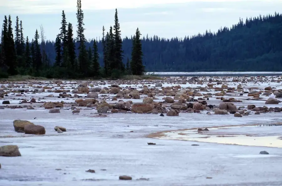
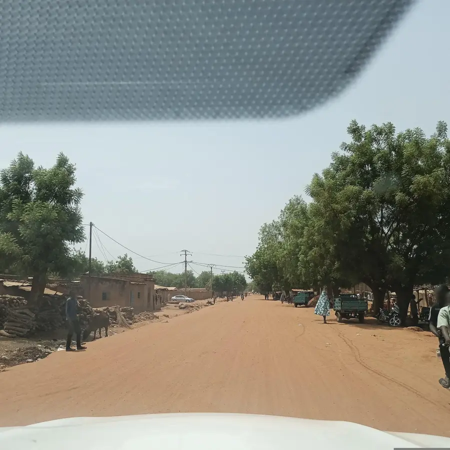
Goungoun Forest Reserve

Weather…
Water temperature…
The economic significance of Goungoun Forest Reserve in Benin is multifaceted, primarily revolving around its role as a natural resource base and a potential site for ecotourism development. Historically, local communities have relied on the forest for non-timber forest products such as medicinal plants, wild fruits, and construction materials, supporting livelihoods through subsistence activities. While formal logging is restricted due to its protected status, sustainable harvesting practices for certain resources are sometimes permitted under strict regulations. The reserve's biodiversity also presents opportunities for scientific research, attracting funding and expertise that can indirectly benefit the local economy. Furthermore, as awareness of its ecological value grows, there's increasing potential for developing community-based ecotourism initiatives, providing alternative income streams through guided tours, birdwatching, and cultural experiences, thereby reducing pressure on the forest's resources. Such developments require careful planning to ensure environmental sustainability and equitable distribution of benefits.
Best time to visit & climate
The most pleasant time to visit is Jan, Nov, Dec.
| Jan | Feb | Mar | Apr | May | Jun | Jul | Aug | Sep | Oct | Nov | Dec | |
|---|---|---|---|---|---|---|---|---|---|---|---|---|
| Avg °C | 25 | 28 | 31 | 33 | 31 | 29 | 27 | 26 | 26 | 28 | 27 | 25 |
| Rain mm | 0 | 1 | 8 | 22 | 69 | 107 | 162 | 233 | 157 | 49 | 2 | 0 |
📋 Practical info
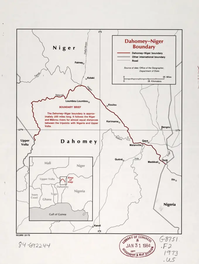
Geography
Facts
- The reserve generates an estimated 50,000-70,000 USD annually through regulated non-timber forest product harvesting and minor tourism activities.
- Over 10 different types of wild fruits and nuts are collected seasonally by local communities, contributing to food security.
- A typical shea tree (Vitellaria paradoxa) can yield 15-20 kg of fruit annually, providing significant income.
- Around 1,000-1,500 people from surrounding villages are directly involved in collecting non-timber forest products from the reserve.
- The estimated carbon sequestration capacity of the reserve is approximately 2-3 tons of CO2 per hectare per year.
- Micro-finance initiatives supporting sustainable local businesses linked to the reserve have invested over 20,000 USD in the past five years.
Explore nearby
Notable places around
Route planner — Car & Motorhome
Where do you start? We build the route here, with stops and country notes along the way.
© OpenStreetMap contributors · OpenRouteService
Sights nearby
Frequently asked questions
Where is the Goungoun Forest Reserve located?
What is the goal of the reserve?
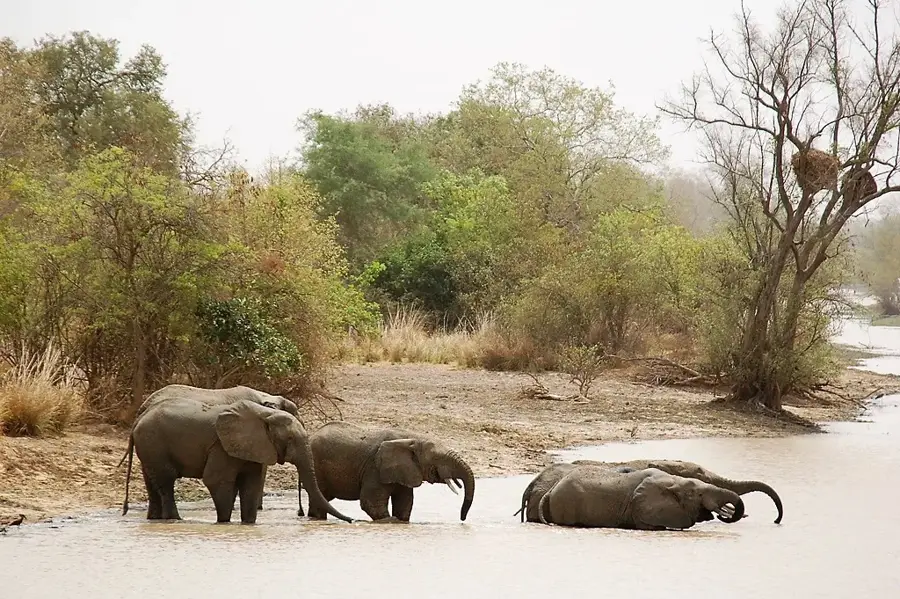
What animals live in Goungoun?
Is the forest accessible to tourists?
When is the best time to visit?
Goungoun Forest Reserve: where is it located?
Goungoun Forest Reserve: when is the best time to visit?
Goungoun Forest Reserve: why is it worth visiting?

History & landmarks
Nature
More places