Plizio Visual Lab
Kabaw Valley
Weather…
Water temperature…
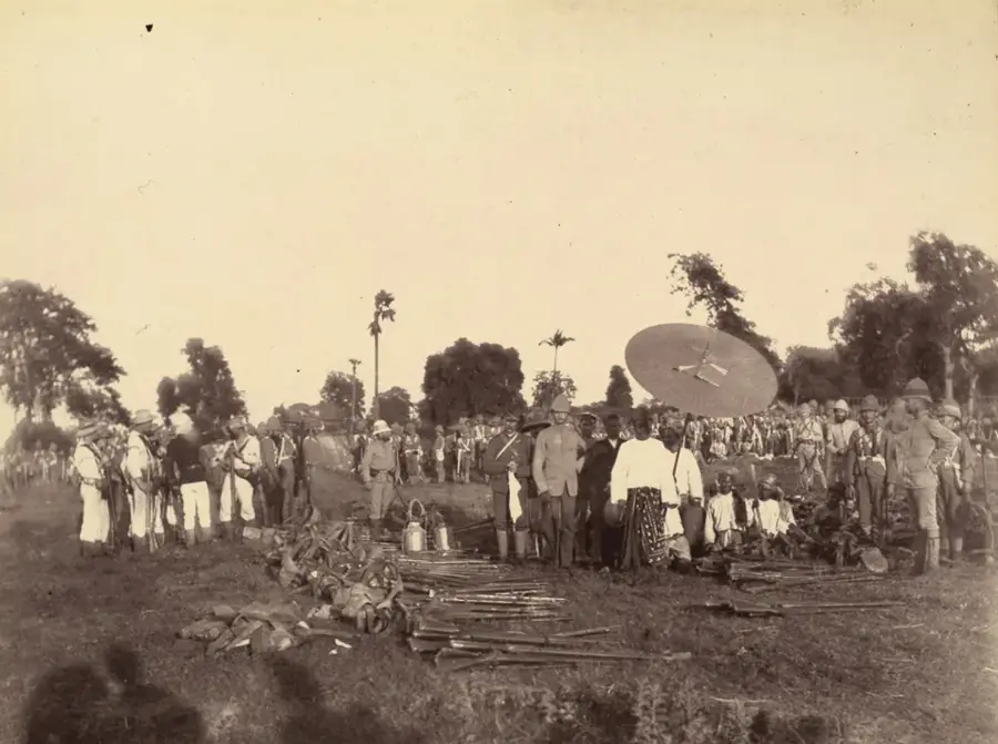
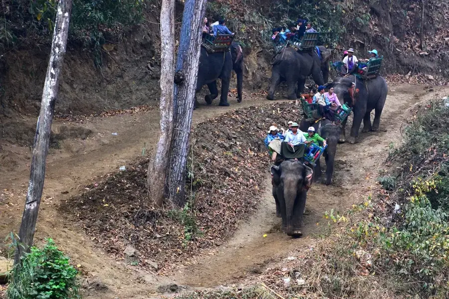
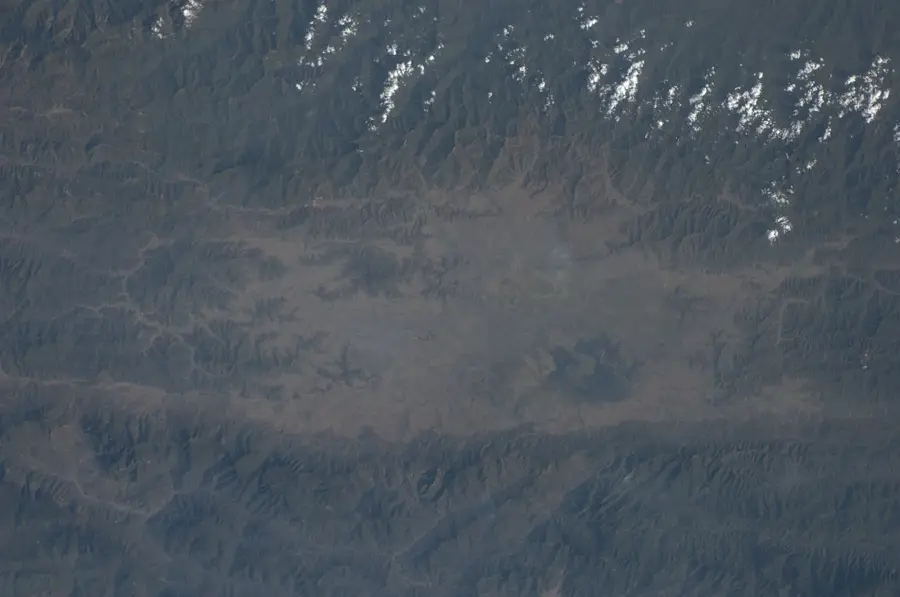
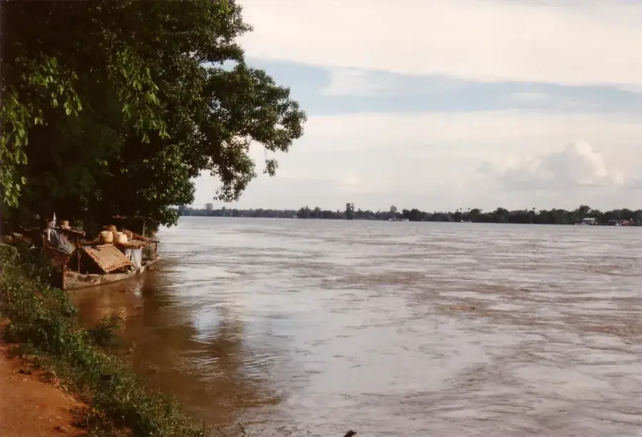
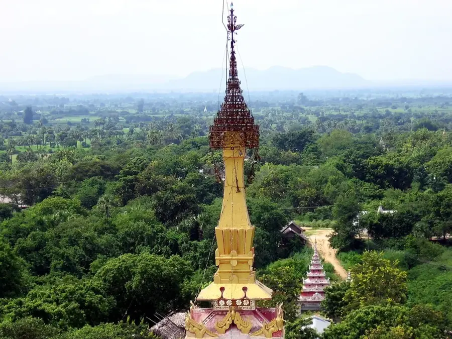
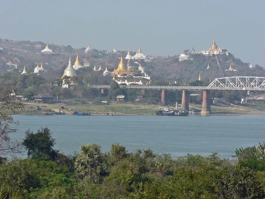
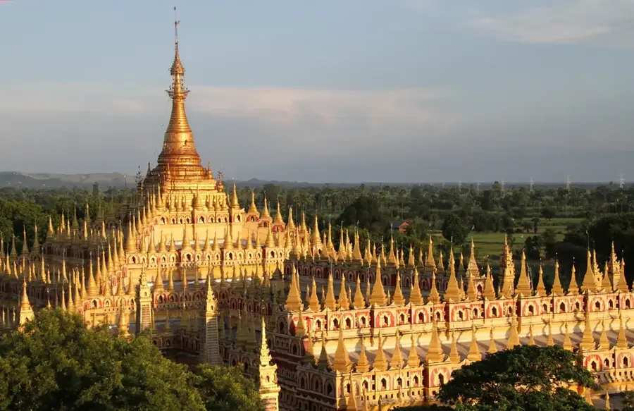
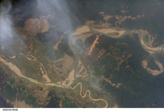
The Kabaw Valley is a prominent geographical depression in northwestern Myanmar, stretching along the border with the Indian state of Manipur. It is bounded to the east by the Chindwin River and to the west by the foothills of the Indo-Burman Ranges. Historically, the valley was a recurring flashpoint between the Kingdom of Manipur and the Burmese Empire of the Konbaung dynasty. In 1834, the territory was officially ceded to Burma under British mediation, in exchange for which the British paid a monthly compensation to Manipur. The region is renowned for its dense tropical forests, particularly for its valuable teak reserves, which have been economically exploited for decades. Geologically, the valley represents a significant sedimentary zone, providing fertile soils for local rice cultivation. The population consists predominantly of the Meitei, Kuki, and Naga ethnic groups, who maintain deep ties to the natural environment. Today, the valley serves as a vital corridor for cross-border trade between India and Myanmar, with the town of Tamu acting as a central logistical hub.
- Location: Myanmar (Burma)
- Nearby: Ngapali Beach (48 km)
Best time to visit & climate
The most pleasant time to visit is Feb, Mar, Nov.
| Jan | Feb | Mar | Apr | May | Jun | Jul | Aug | Sep | Oct | Nov | Dec | |
|---|---|---|---|---|---|---|---|---|---|---|---|---|
| Avg °C | 15 | 17 | 21 | 23 | 24 | 25 | 25 | 25 | 24 | 22 | 19 | 16 |
| Rain mm | 8 | 15 | 37 | 89 | 128 | 161 | 164 | 136 | 112 | 90 | 18 | 12 |
📋 Practical info
Geography
Facts
- In 1834, the valley was officially ceded from Manipur to Burma.
- The region lies at an average elevation of between 150 and 250 meters.
- The Chindwin River forms the natural eastern boundary of the valley.
- The town of Tamu is the economic center of the Kabaw Valley.
- Teak wood from this region is among the highest quality in Myanmar.
- The Indo-Burmese border runs to the west of the valley floor.
Explore nearby
Notable places around
Route planner — Car & Motorhome
Where do you start? We build the route here, with stops and country notes along the way.
© OpenStreetMap contributors · OpenRouteService
Sights nearby
Frequently asked questions
What is the history of the Kabaw Valley?
Can it be visited?
What is the landscape like?
Is it safe there?
Are there accommodations?
Kabaw Valley: where is it located?
Kabaw Valley: when is the best time to visit?
Kabaw Valley: why is it worth visiting?

Nearby cities
History & landmarks
Nature
More places