Plizio Visual Lab
Bay of Kotor
Weather…
Water temperature…
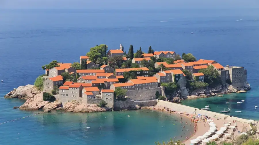
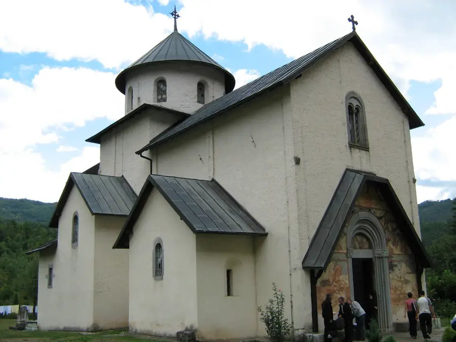
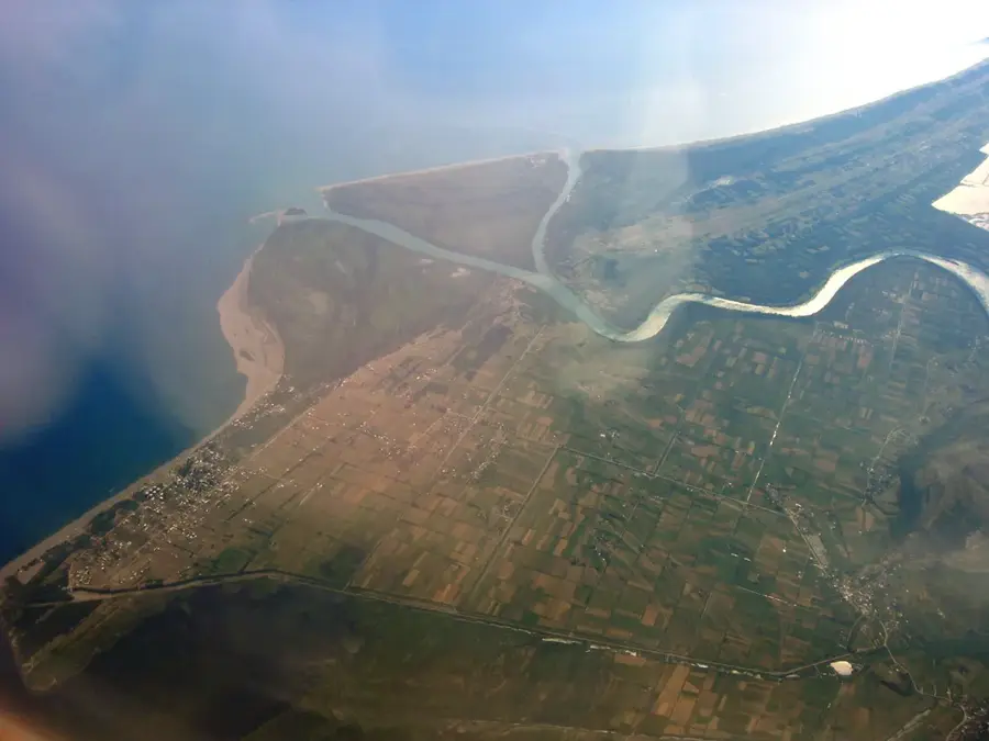
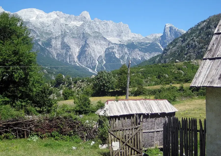
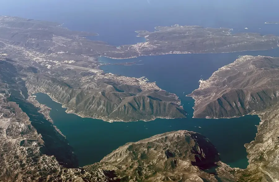
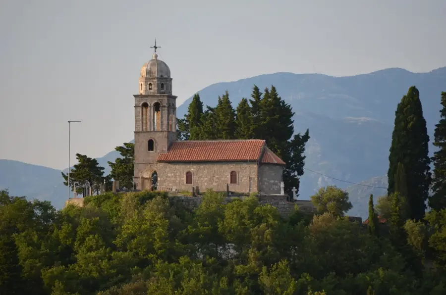
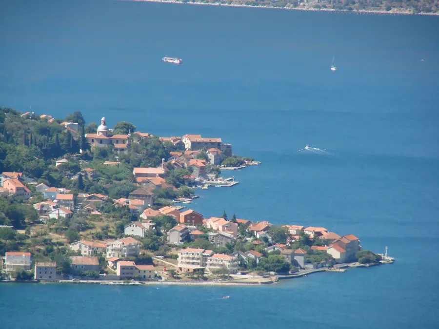
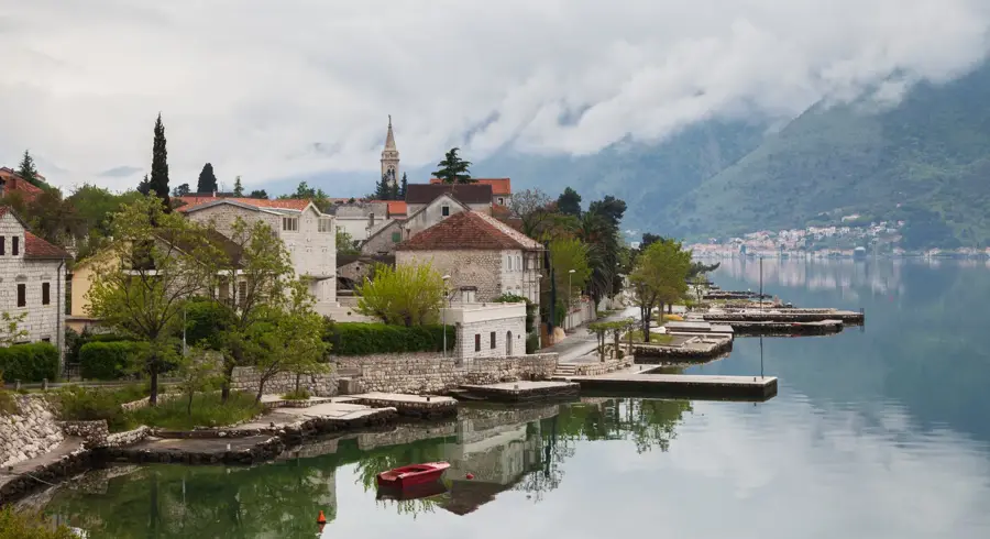
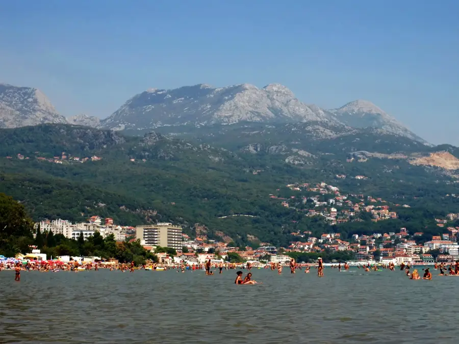
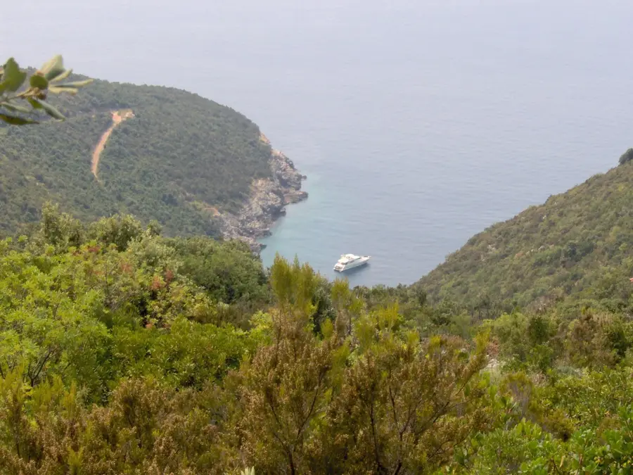
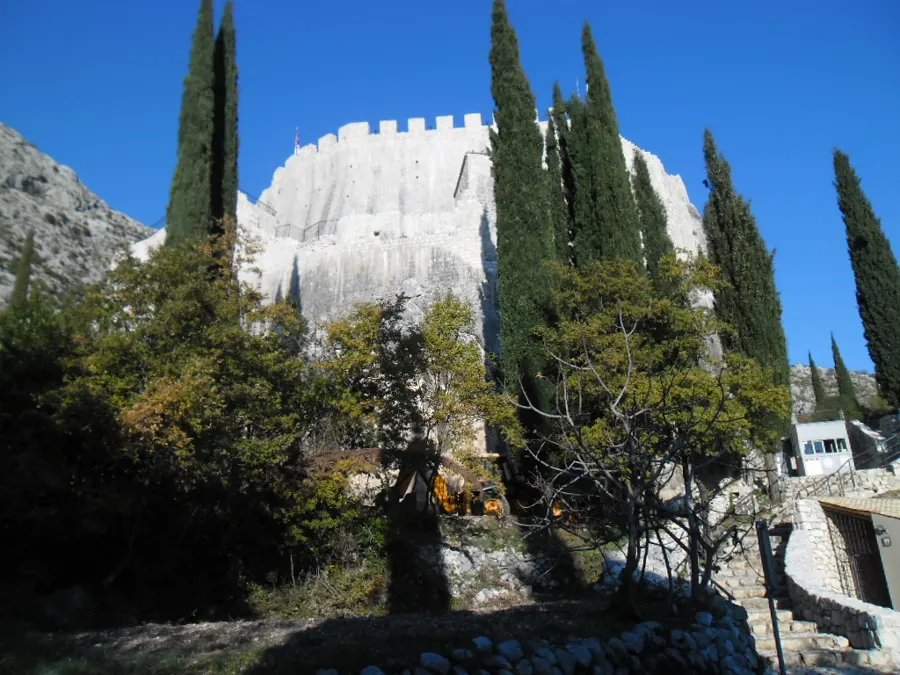
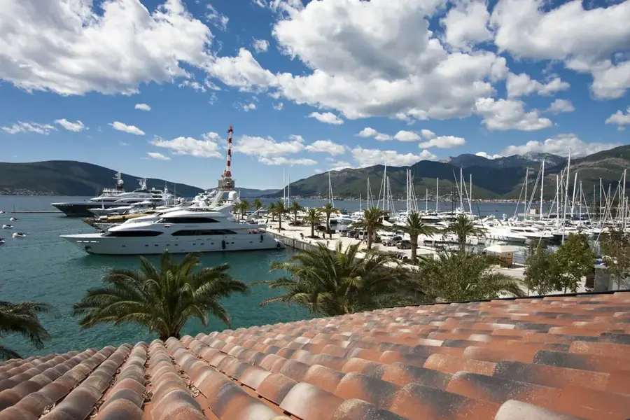
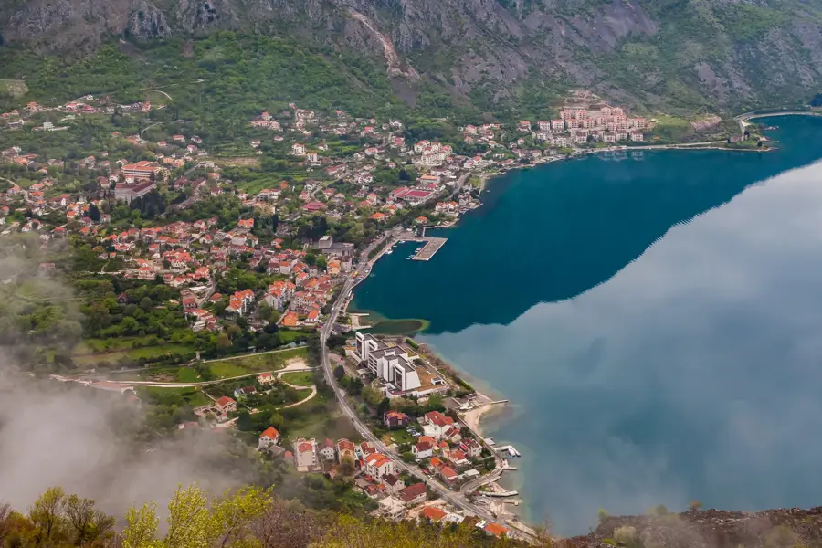
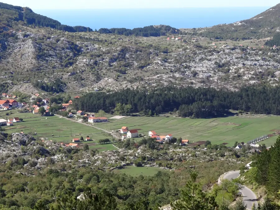
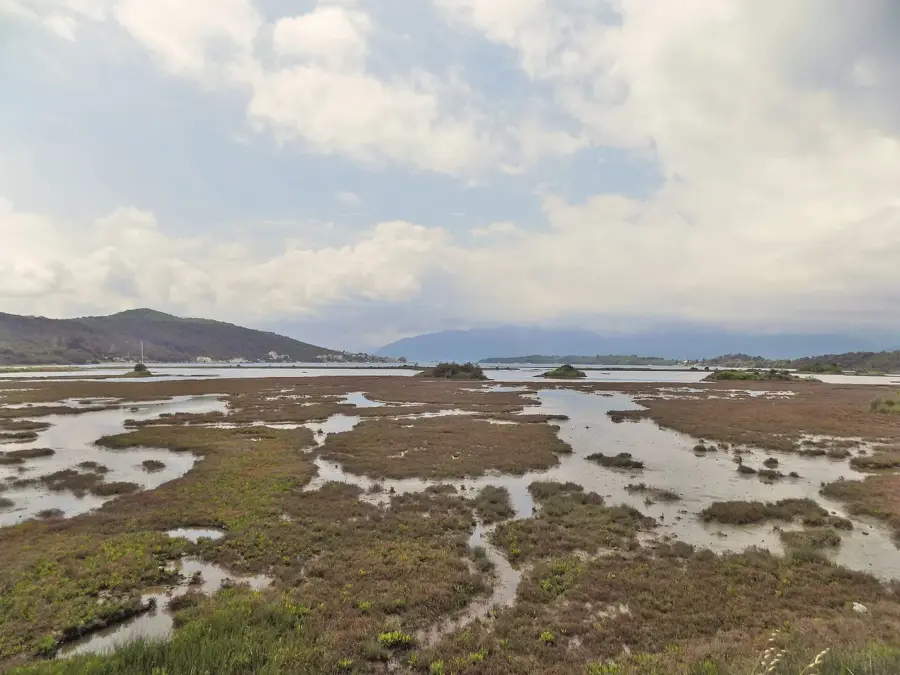
The Bay of Kotor, often described as Europe's southernmost fjord, is actually a submerged river canyon located on Montenegro's Adriatic coast. The bay is framed by the towering limestone cliffs of the Orjen and Lovćen mountains, which plunge dramatically into the deep blue sea. The entire region is designated as a UNESCO World Heritage site due to its exceptional combination of natural beauty and historical significance. Along its shores lie scenic towns such as Kotor, Perast, and Herceg Novi, featuring architecture heavily influenced by centuries of Venetian rule. The fortified old town of Kotor, with its labyrinthine streets and ancient walls climbing the steep mountainside, is a major highlight. The bay also hosts two iconic islets off the coast of Perast: Our Lady of the Rocks and Saint George. Serving as a strategic natural harbor since antiquity, the bay today provides a spectacular backdrop for sailors and international travelers. Its mild Mediterranean climate and rich maritime heritage make the region one of Montenegro's most significant cultural symbols.
- Location: Montenegro
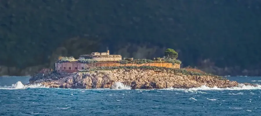
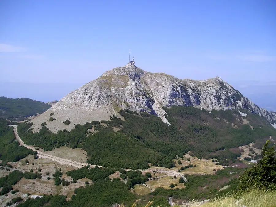
- Top sights: Svetionik · Veliki Jomac · Mali Jomac
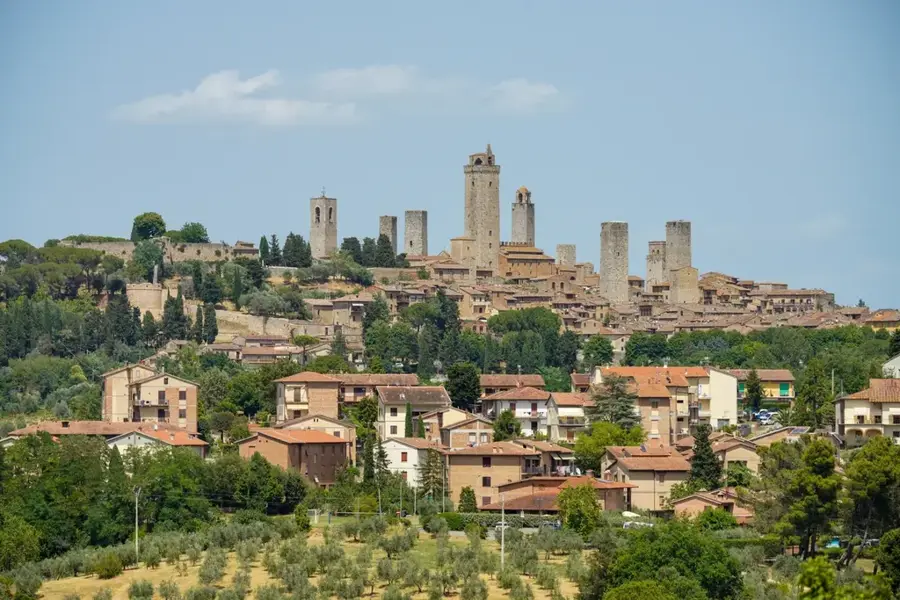
- Nearby: Perast (7 km)
Best time to visit & climate
The most pleasant time to visit is Jun–Aug.
| Jan | Feb | Mar | Apr | May | Jun | Jul | Aug | Sep | Oct | Nov | Dec | |
|---|---|---|---|---|---|---|---|---|---|---|---|---|
| Avg °C | 4 | 5 | 8 | 12 | 16 | 20 | 24 | 24 | 19 | 14 | 10 | 6 |
| Rain mm | 156 | 152 | 138 | 103 | 89 | 67 | 42 | 43 | 116 | 138 | 187 | 178 |
📋 Practical info
Geography
Facts
- The bay stretches for approximately 28 kilometers in length.
- Designated as a UNESCO World Heritage site in 1979.
- Comprises four interconnected basins or sub-bays.
- The ancient walls of Kotor span 4.5 kilometers in total.
- The village of Crkvice is recorded as the wettest spot in Europe.
- Perast was once a prestigious center for maritime navigation.
Explore nearby
Notable places around
Route planner — Car & Motorhome
Where do you start? We build the route here, with stops and country notes along the way.
© OpenStreetMap contributors · OpenRouteService
Sights in the town Bay of Kotor (3)
Sights nearby
Frequently asked questions
Is the Bay of Kotor a fjord?
What are the most important towns in the bay?
Can you swim in the bay?
How is it best to explore the bay?
When is the best time to visit?
Bay of Kotor: where is it located?
Bay of Kotor: what is there to see?
Bay of Kotor: when is the best time to visit?
Bay of Kotor: why is it worth visiting?

Nearby cities
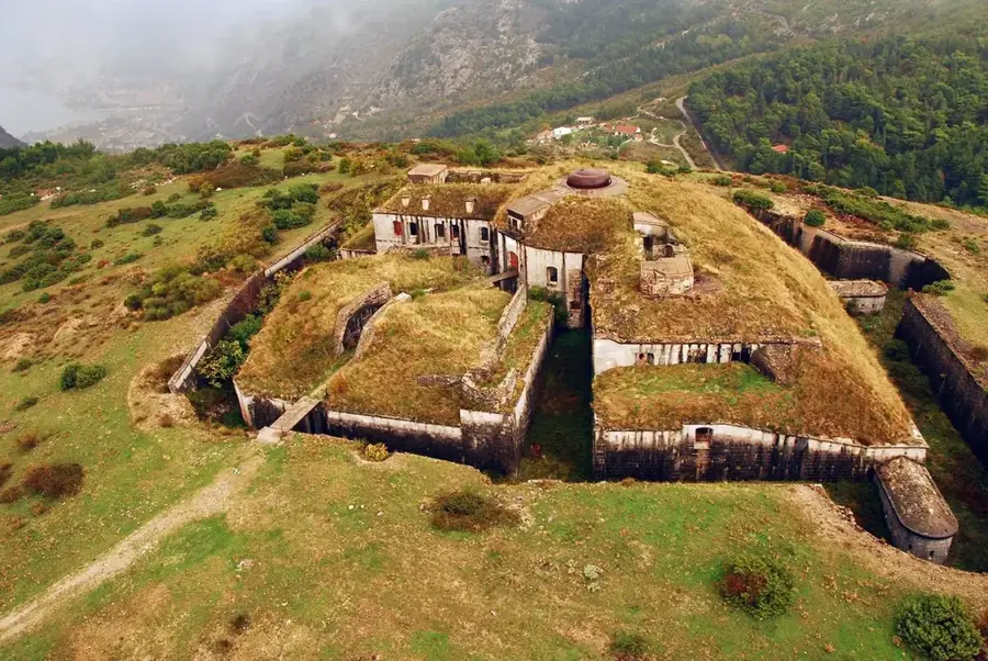
History & landmarks
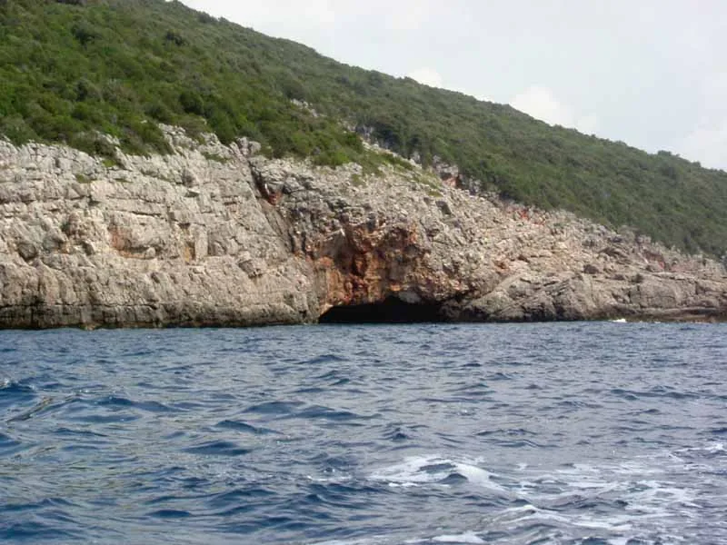
Nature
More places