Plizio Visual Lab
Sierra Norte de Puebla
Weather…
Water temperature…
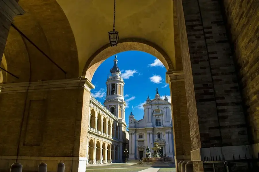
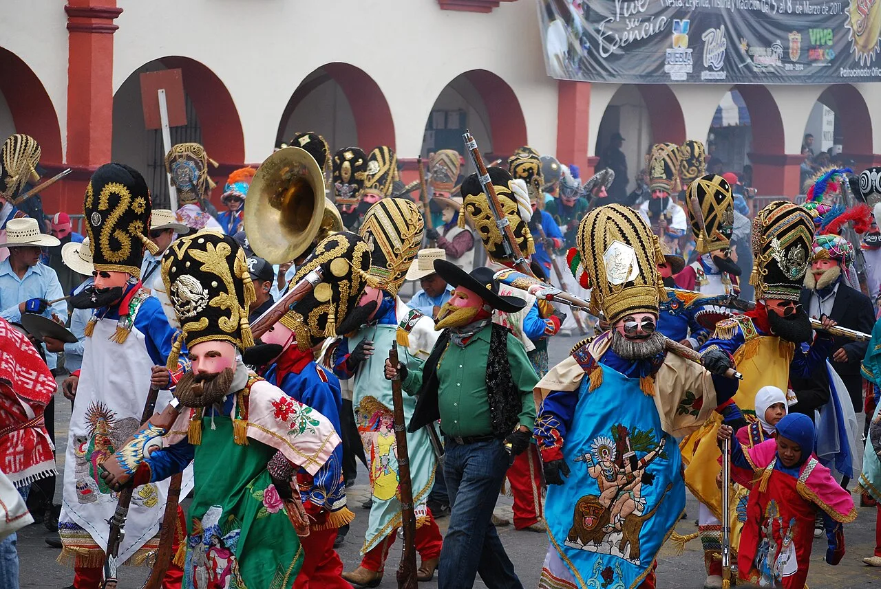
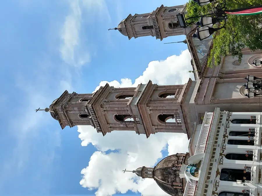
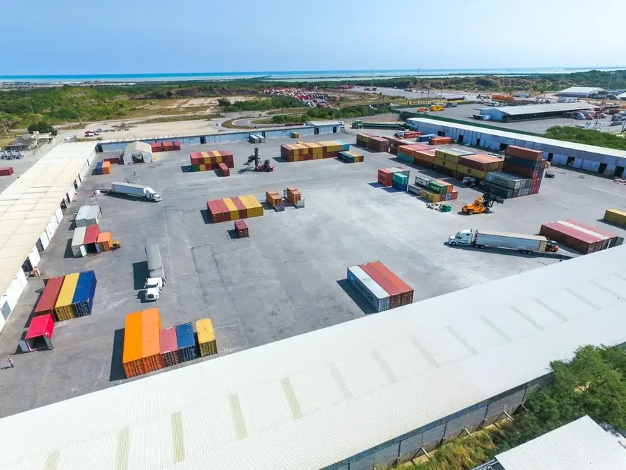
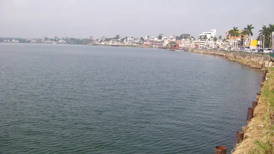
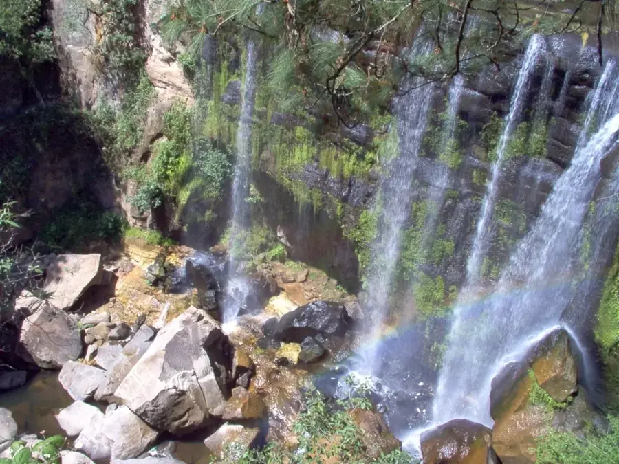
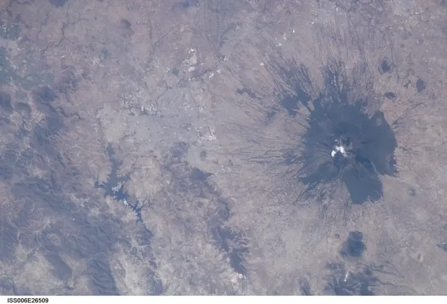
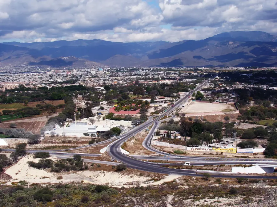
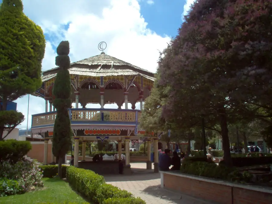
The Sierra Norte de Puebla is a mountainous region in the northern part of the state of Puebla, forming part of the Sierra Madre Oriental. It is characterized by extremely rugged topography with steep slopes, waterfalls, and deep valleys often shrouded in dense cloud and rain forests. The region is a cultural heartland for the Nahua and Totonac indigenous peoples, who maintain their traditions, languages, and craftsmanship to this day. Economically, the Sierra is known for producing high-quality coffee, pepper, and cinnamon, as well as its rich forestry. Geologically, the mountains consist of a mix of sedimentary rocks and volcanic formations, resulting in fertile soils. Towns like Cuetzalan, a 'Pueblo Mágico,' reflect the fusion of colonial architecture and indigenous culture. The humid climate with high rainfall rates feeds numerous rivers that are significant for hydroelectric power generation in central Mexico.
- Location: Mexico
- Nearby: Chignahuapan (26 km)
Best time to visit & climate
The most pleasant time to visit is Mar–May.
| Jan | Feb | Mar | Apr | May | Jun | Jul | Aug | Sep | Oct | Nov | Dec | |
|---|---|---|---|---|---|---|---|---|---|---|---|---|
| Avg °C | 11 | 13 | 15 | 18 | 18 | 18 | 17 | 17 | 16 | 14 | 12 | 12 |
| Rain mm | 28 | 22 | 32 | 41 | 62 | 149 | 152 | 161 | 205 | 131 | 53 | 23 |
📋 Practical info
Geography
Facts
- The region encompasses over 65 municipalities in northern Puebla.
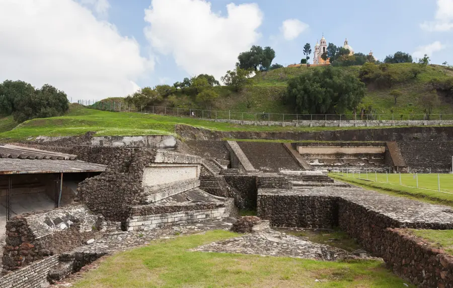
- Cuetzalan was designated as a 'Pueblo Mágico' in 2002.
- Annual rainfall in some parts can reach up to 4,000 mm.
- The Sierra contains the archaeological site of Yohualichan.
- Coffee production is the primary source of income for local smallholders.
- The mountains are home to over 200 species of wild orchids.
Explore nearby
Notable places around
Route planner — Car & Motorhome
Where do you start? We build the route here, with stops and country notes along the way.
© OpenStreetMap contributors · OpenRouteService
Sights nearby
Frequently asked questions
What is the best season?
What is a must?
Are hikes demanding?
Is it safe?
Are there family-friendly hotels?
Sierra Norte de Puebla: where is it located?
Sierra Norte de Puebla: when is the best time to visit?
Sierra Norte de Puebla: why is it worth visiting?

Nearby cities


More places