Plizio Visual Lab
Mellieħa Bay
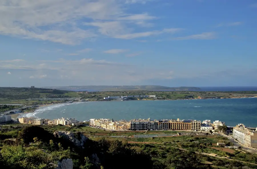
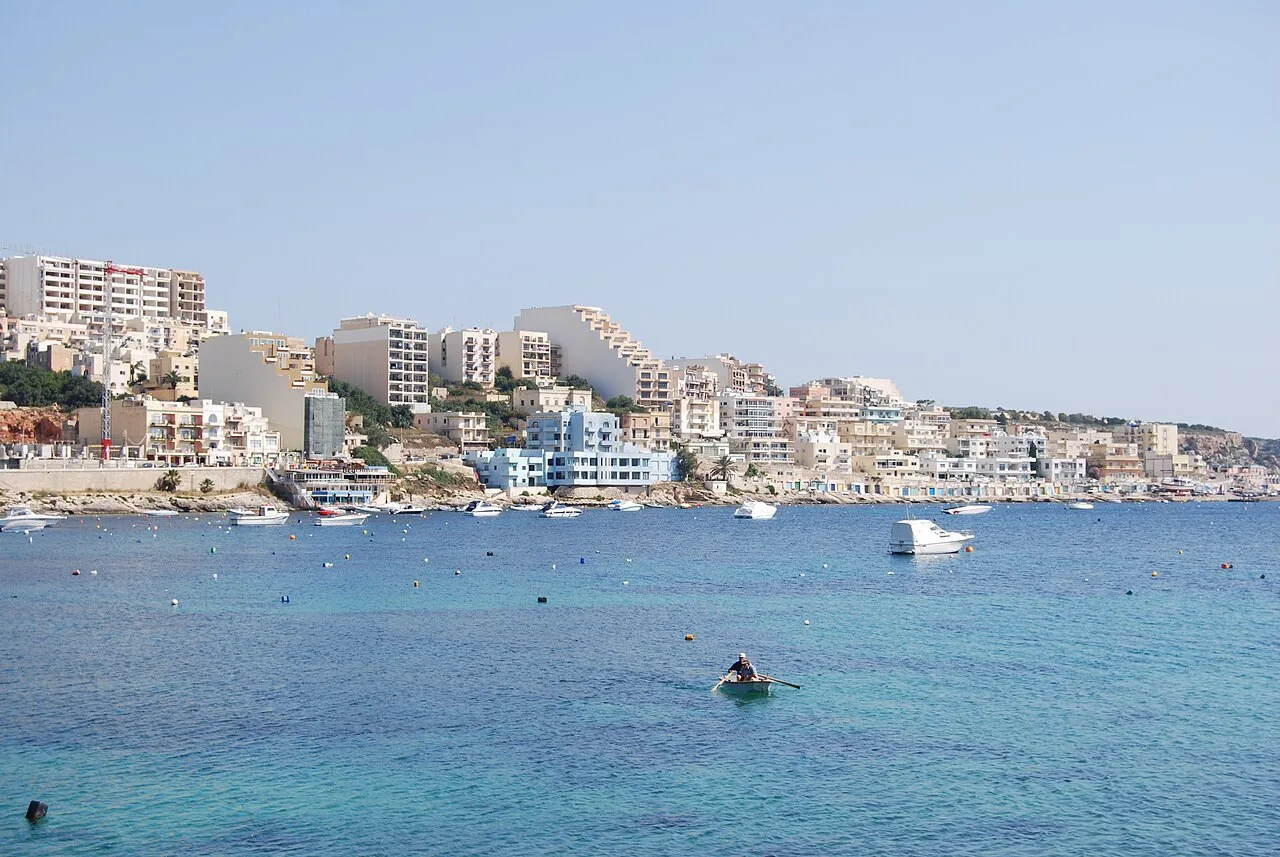
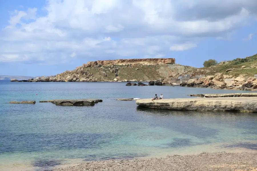
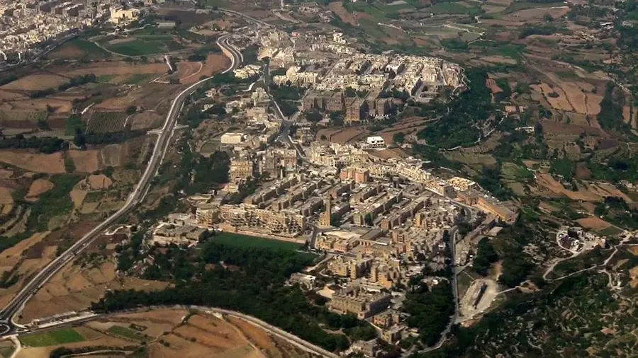
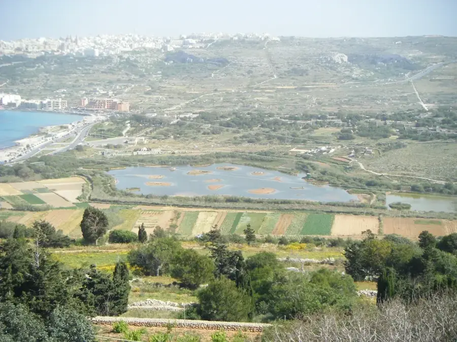
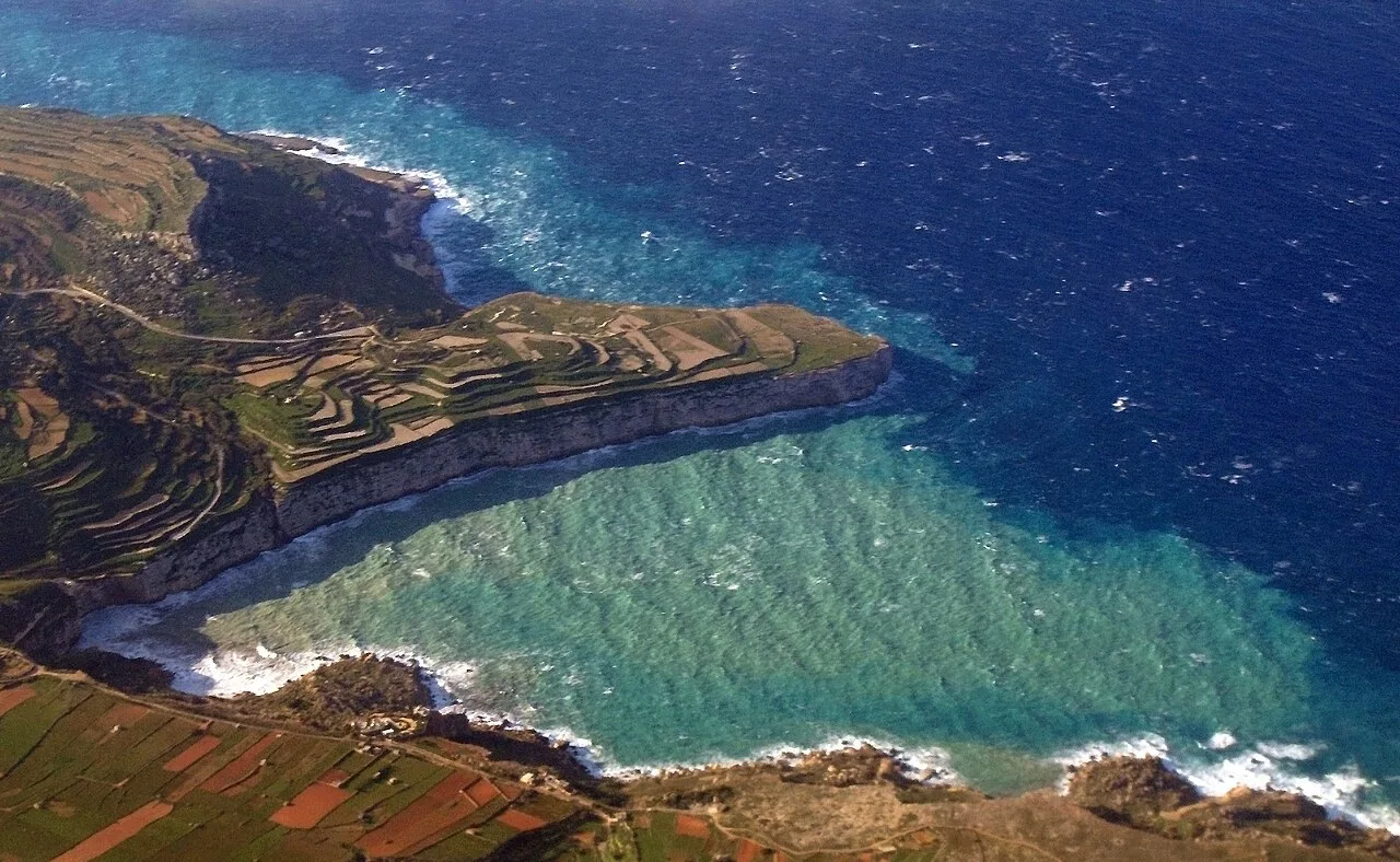
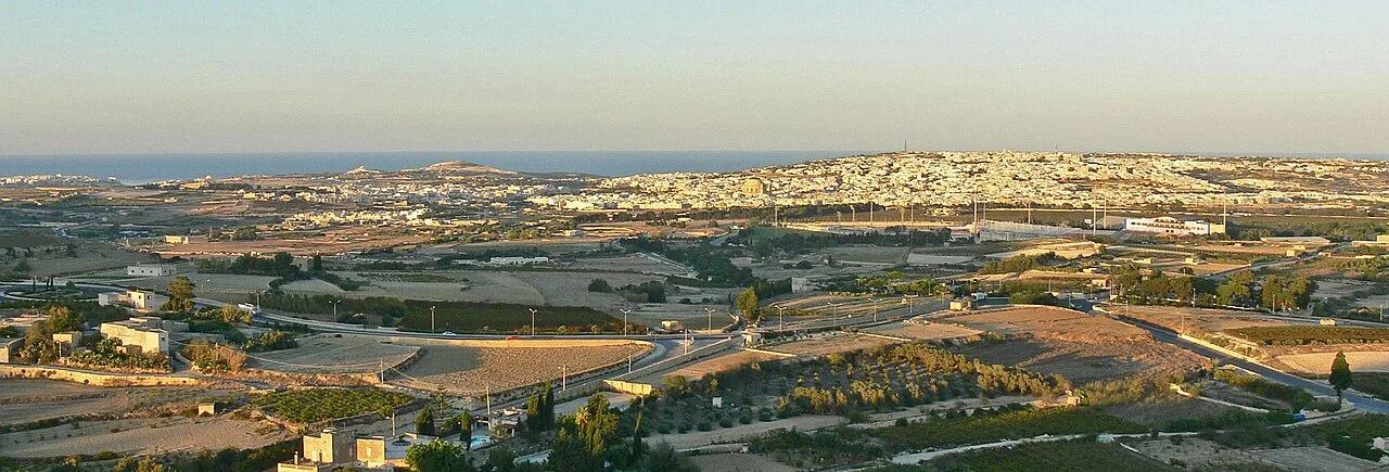
Mellieħa Bay, also known as Għadira Bay, is the largest and most popular sandy beach in Malta, serving as a key geographic landmark in the northern part of the island. The bay spans over one kilometer and is celebrated for its shallow, crystal-clear waters, which make it particularly attractive for families and water sports enthusiasts. Historically, the bay's vast expanse made it a vulnerable entry point for naval invasions, leading to the construction of various defensive structures such as the Mellieħa Battery and coastal entrenchments. Directly behind the sandy shore lies the Għadira Nature Reserve, a significant wetland that provides a crucial stopover for numerous migratory bird species. Geographically, the bay is a deep coastal inlet situated between the rugged Marfa Ridge and the elevated town of Mellieħa. The area is central to Malta's tourism industry, boasting excellent amenities and accessibility for international visitors. Despite modernization, the bay has retained much of its natural character and remains a protected marine environment for diverse coastal species. The blend of natural beauty and recreational facilities makes it one of the most visited locations on the archipelago.
- Location: Malta
- Top sights: Għadira Bay · Għadira Nature Reserve · Tunnara Museum
- Nearby: Golden Bay (4 km)
Best time to visit & climate
The most pleasant time to visit is May–Jul.
| Jan | Feb | Mar | Apr | May | Jun | Jul | Aug | Sep | Oct | Nov | Dec | |
|---|---|---|---|---|---|---|---|---|---|---|---|---|
| Avg °C | 15 | 14 | 15 | 16 | 19 | 23 | 26 | 27 | 25 | 23 | 20 | 16 |
| Rain mm | 74 | 65 | 51 | 33 | 17 | 11 | 4 | 10 | 63 | 82 | 95 | 82 |
📋 Practical info
Geography
Facts
- Mellieħa Bay is the longest sandy beach on the Maltese Islands at over 1 km.
- The Għadira Nature Reserve was established in 1978 and is managed by BirdLife Malta.
- The bay was a key site for the defense of the island during the Great Siege period.
- It has consistently held the Blue Flag status for water quality and safety since 2011.
- The shallow waters extend for nearly 50 meters, making it exceptionally safe for children.
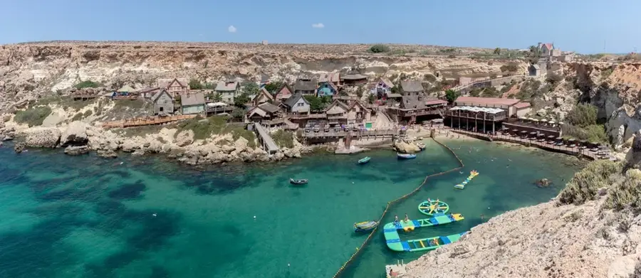
- Nearby attractions include Popeye Village, built as a film set in 1979.
Explore nearby
Notable places around
Route planner — Car & Motorhome
Where do you start? We build the route here, with stops and country notes along the way.
© OpenStreetMap contributors · OpenRouteService
Sights in the town Mellieħa Bay (10)
Għadira Nature Reserve
Nature reserve with salt marshes and birdwatching.
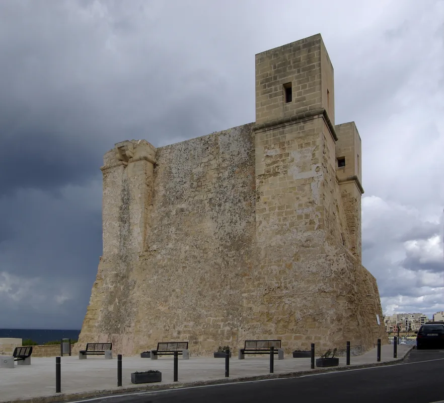
Red Tower
Watchtower built under Grandmaster Lascaris, paid by the Universita' of Mdina.
Air Raid Shelter
World War II air raid shelter, open to visitors.
Tal-Bir Redoubt
Ruins of an 18th-century fortification.
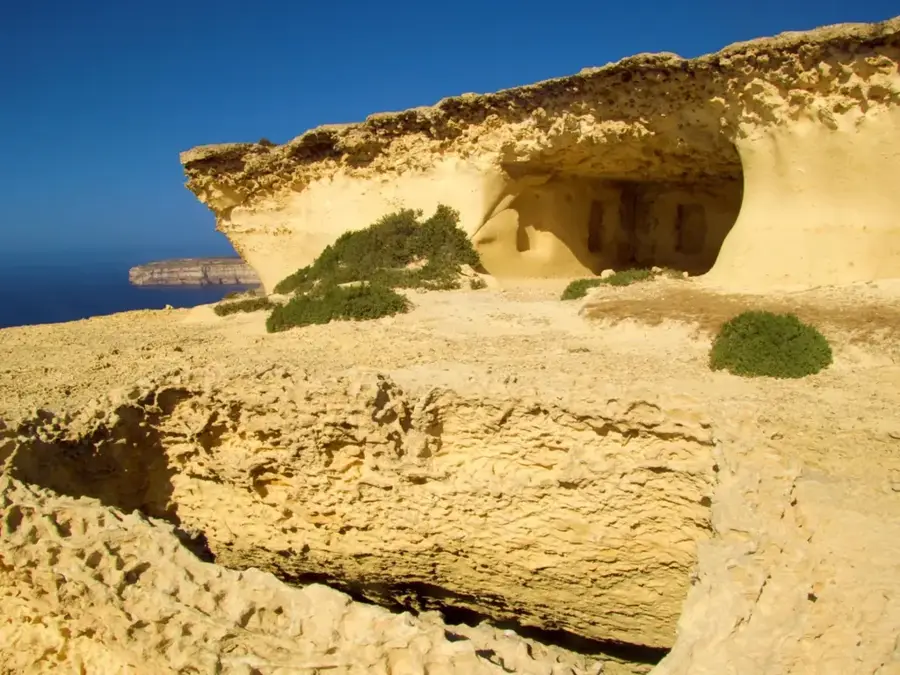
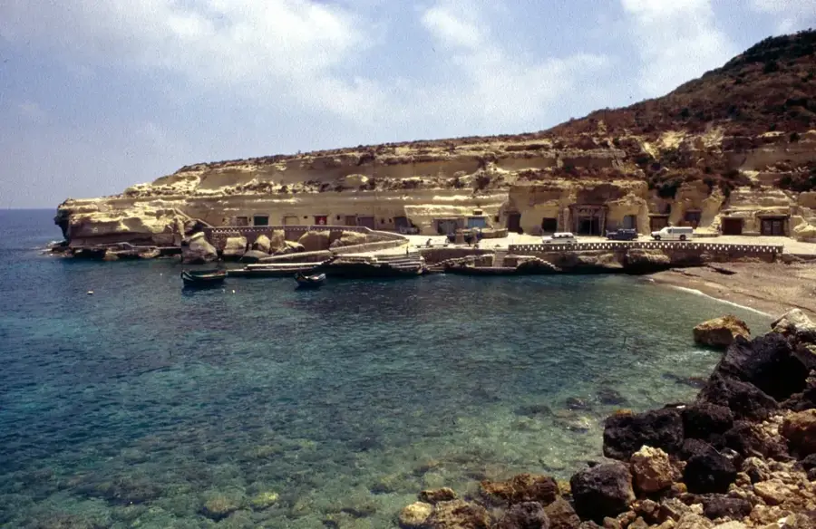
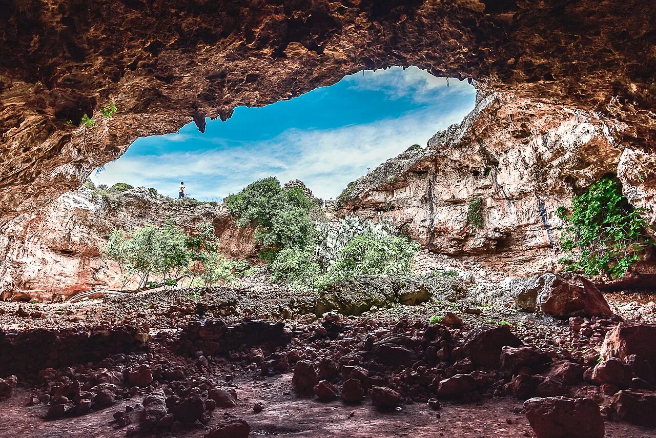
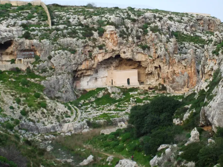
Calypso's Caves
Caves associated in mythology with the nymph Calypso.
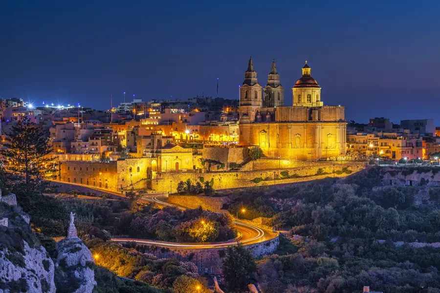
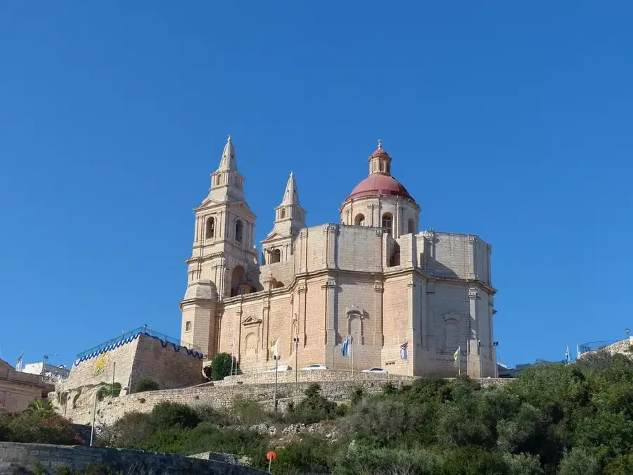
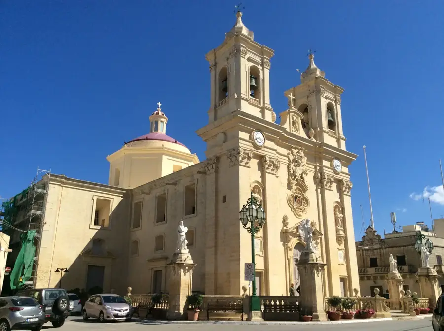
Santwarju tal-Madonna tal-Mellieħa
Church in Mellieħa, Malta, dedicated to the Virgin Mary.
Air Raid Shelters
World War II air raid shelters, open to visitors.
Sights nearby
Frequently asked questions
Is this a sandy beach?
Is the water suitable for children?
Can you rent umbrellas?
Is there parking at the beach?
Are there water sports available?
Mellieħa Bay: where is it located?
Mellieħa Bay: what is there to see?
Mellieħa Bay: when is the best time to visit?
Mellieħa Bay: why is it worth visiting?

Nearby cities
History & landmarks
Nature
More places