Plizio Visual Lab
Għargħur
ℹ️Practical info — Għargħur
▾
🌤 Weather — 5 days
📍 Nearby
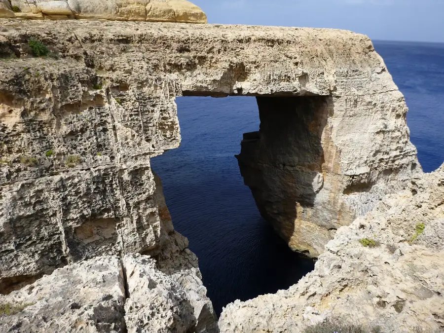
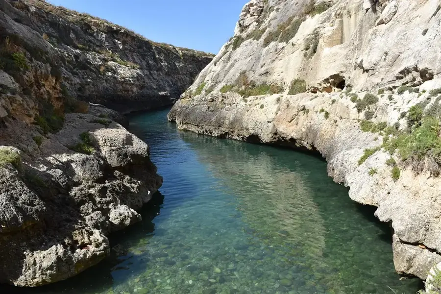
Sights nearby
💡 Tips
- The village is on a hill. Park on the outskirts, as the central streets are very narrow.
- Visit the 'Top of the World' viewpoint (Victoria Lines) at sunset for spectacular coastal views.
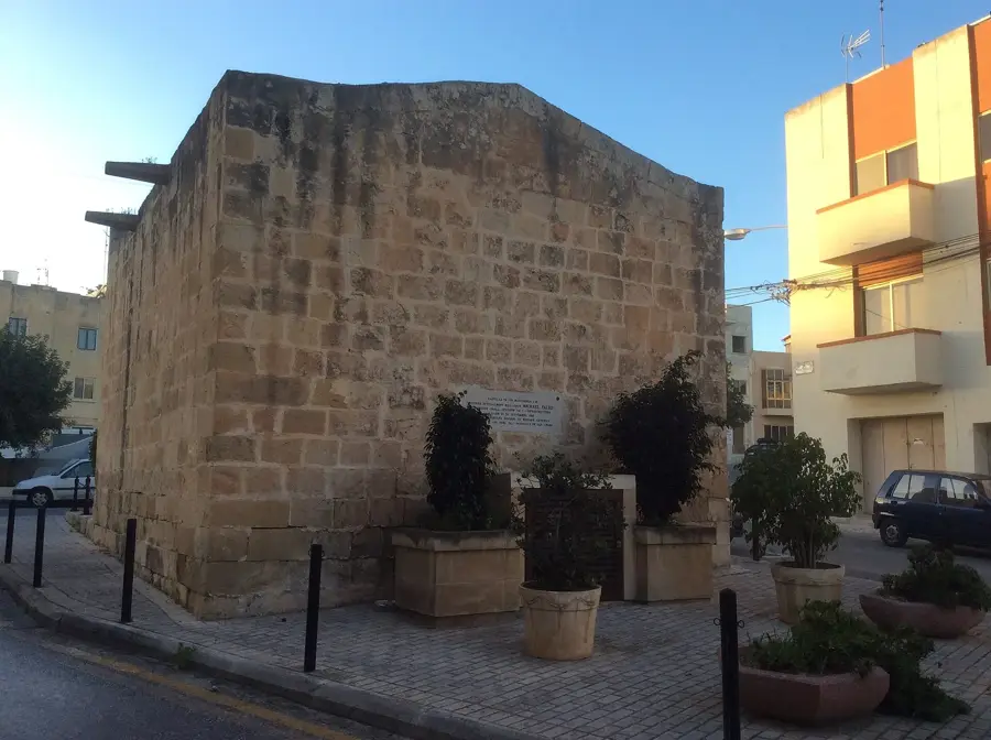
- Look out for the traditional semaphore tower, a unique piece of Maltese history.
- The public bus runs through the main square, but service can be infrequent, so check schedules.
🍽 Food
Buy them at a local bakery in the village core for an authentic breakfast.
Look for a traditional Maltese restaurant near the main church.
Try the local drink and cheap snacks while enjoying the vibe at the village band club.
🛍 Shopping · 🧘 Quiet spots
Buy fresh Maltese bread and Qagħaq tal-Għasel (honey rings).
Well-suited for picking up local cheeselets (Ġbejniet) and regional capers.
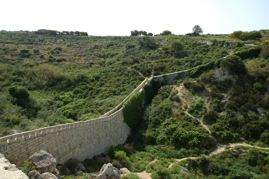
An excellent, quiet walking path along the Victoria Lines with panoramic coastal views.
A peaceful spot to relax during the traditional afternoon siesta.
Water temperature…
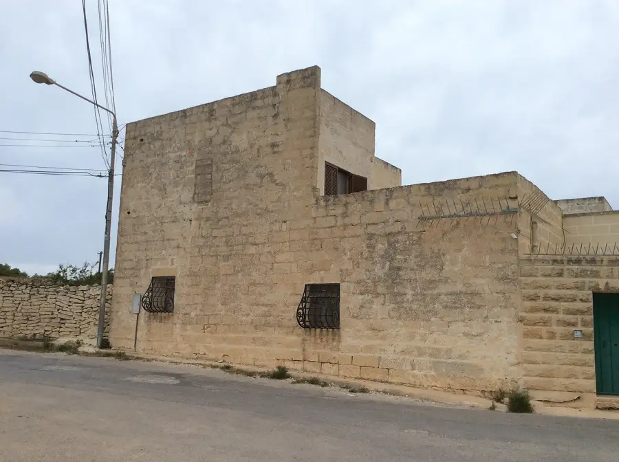
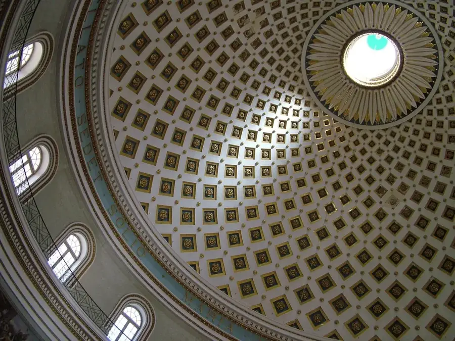
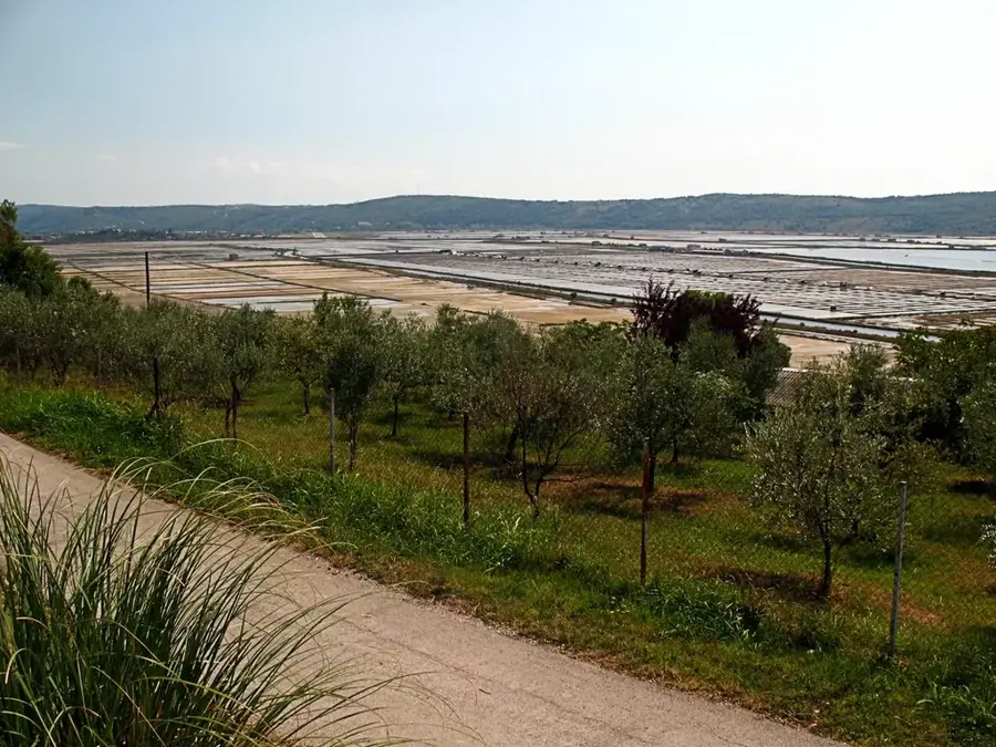
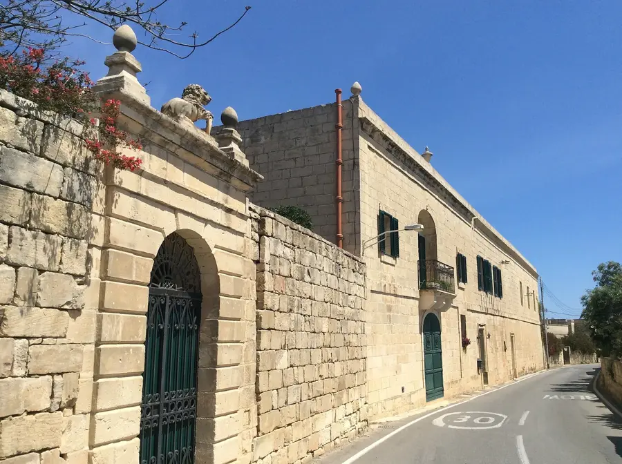
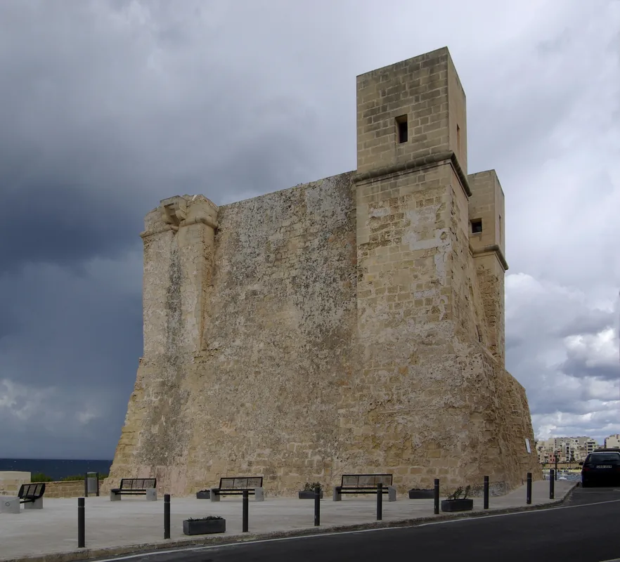
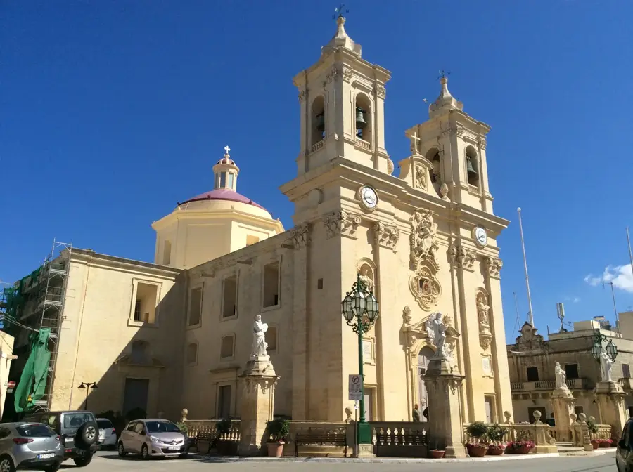
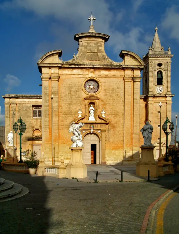
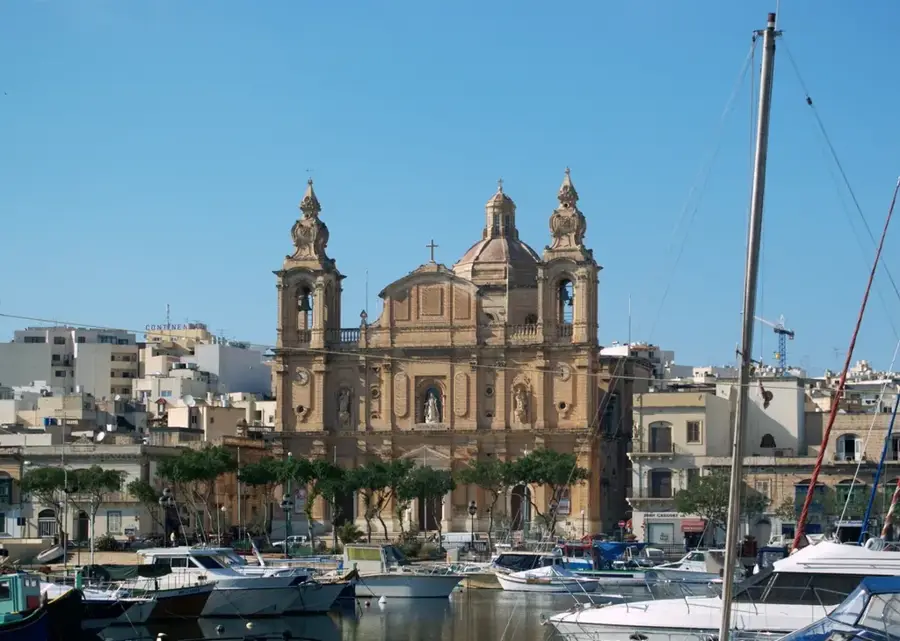
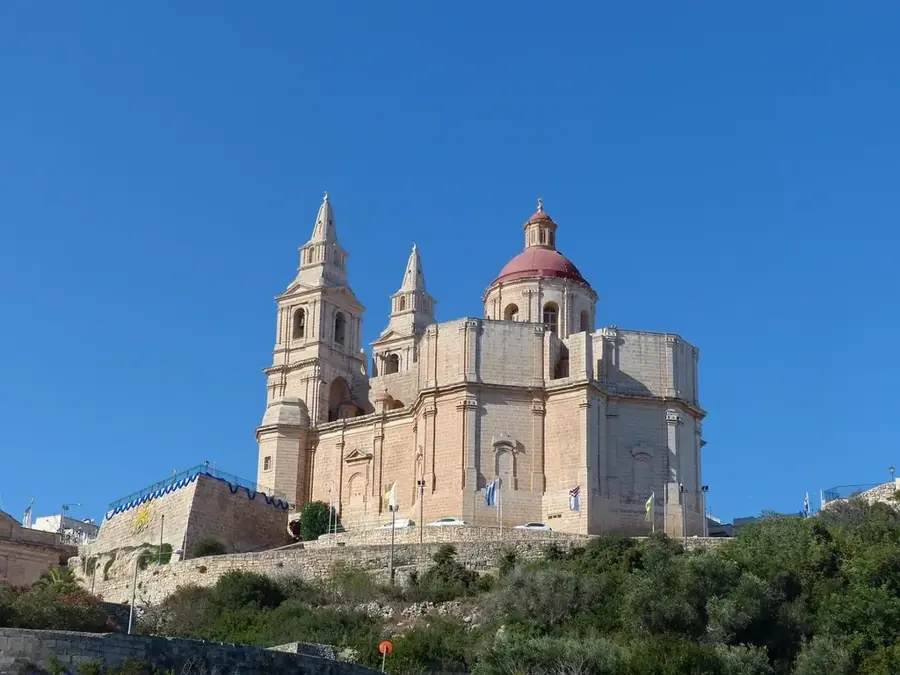
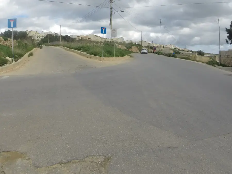
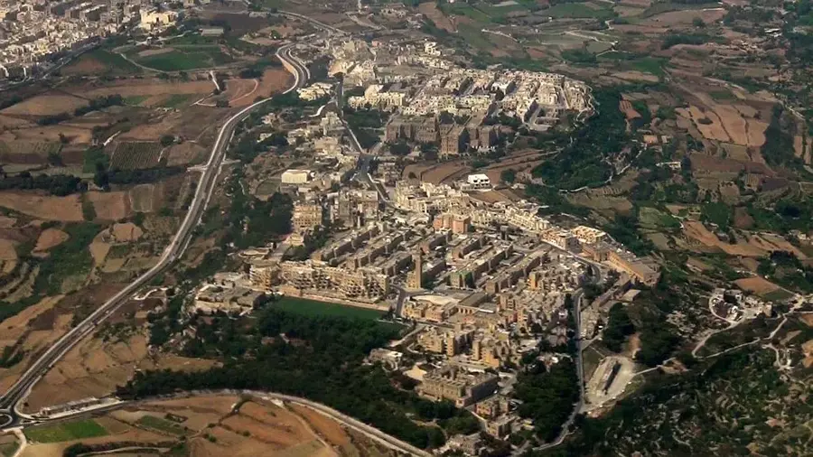
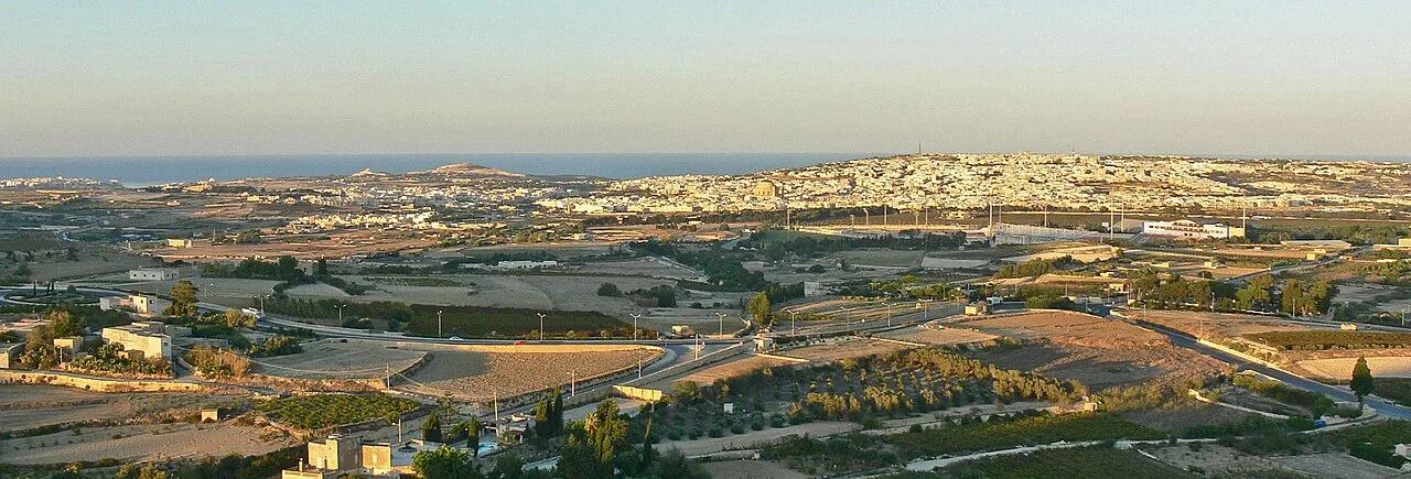
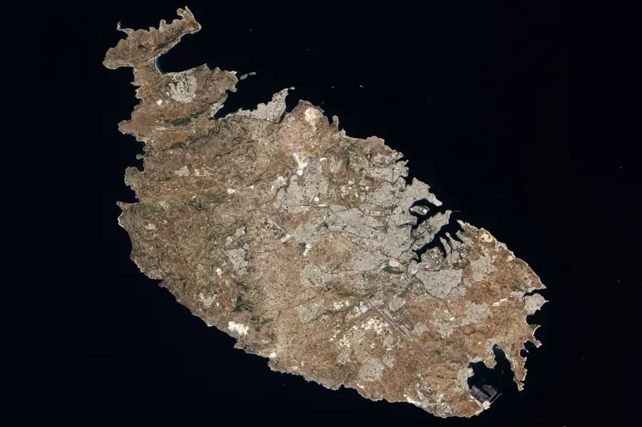
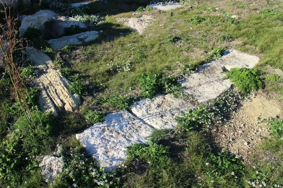
Għargħur is one of the smallest and oldest villages in Malta, perched on a high hilltop flanked by two deep valleys. The settlement has remarkably preserved its rural character and historic core, featuring narrow winding streets and traditional limestone houses. Geographically, the village is renowned for its strategic position, offering commanding views across the northeastern coast of the island towards the Mediterranean Sea. A significant feature of the area is its proximity to the Victoria Lines, a 19th-century fortification system built by the British to defend the island from north to south. The area known as "Top of the World" provides spectacular panoramic vistas and is a popular spot for outdoor enthusiasts and hikers. The village parish church, dedicated to Saint Bartholomew, was built in the early 17th century based on designs by the famous architect Tommaso Dingli. Għargħur remains a quiet residential locality that balances modern life with deep-seated agricultural traditions and cultural heritage.
- Location: Malta
- Top sights: Ta' Hammud Dolmen · Fort Madalena · Il-Widna
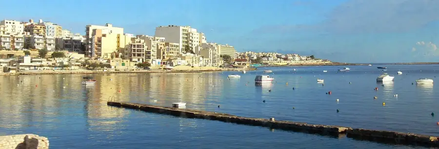
- Nearby: St. Julian's (4 km)
- Population: ~2.857
Best time to visit & climate
The most pleasant time to visit is May–Jul.
| Jan | Feb | Mar | Apr | May | Jun | Jul | Aug | Sep | Oct | Nov | Dec | |
|---|---|---|---|---|---|---|---|---|---|---|---|---|
| Avg °C | 15 | 14 | 15 | 16 | 19 | 23 | 26 | 27 | 25 | 23 | 20 | 16 |
| Rain mm | 74 | 65 | 51 | 33 | 17 | 11 | 4 | 10 | 63 | 82 | 95 | 82 |
Geography
Facts
- Għargħur is among the smallest local councils in terms of area in Malta.
- The parish church of St. Bartholomew was completed in 1610.
- The village is situated approximately 120 meters above sea level.
- The Victoria Lines fortifications pass directly through the village outskirts.
- The historic center features architecture dating back to the late Middle Ages.
- The 'Top of the World' vantage point offers views of the Mediterranean Sea.
Explore nearby
Notable places around
Route planner — Car & Motorhome
Where do you start? We build the route here, with stops and country notes along the way.
© OpenStreetMap contributors · OpenRouteService
Sights in the town Għargħur (17)
Mediterraneo Malta Marine Park👨👩👧 family
A marine park offering educational displays and animal interactions.
Frequently asked questions
What is 'Top of the World'?
Is Għargħur a hilltop village?
What is the Semre festival?
Are there hiking trails?
What is the village center like?
Għargħur: where is it located?
Għargħur: what is there to see?
Għargħur: when is the best time to visit?
Għargħur: why is it worth visiting?

Nearby cities
History & landmarks
Nature
More places