Plizio Visual Lab
Sauer River
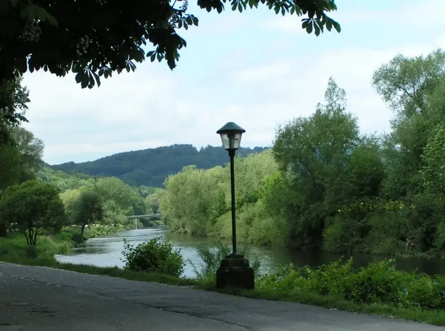
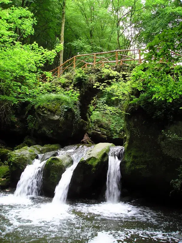
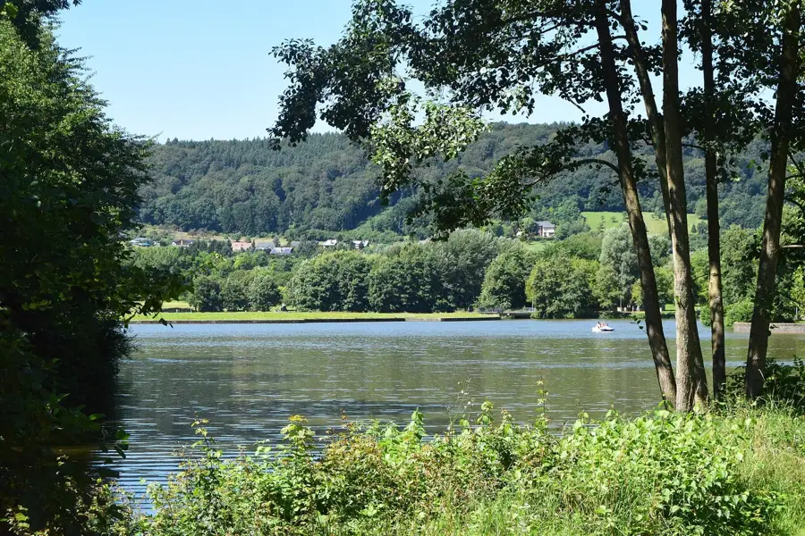
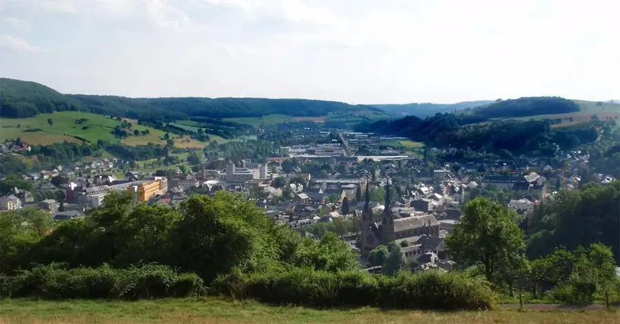
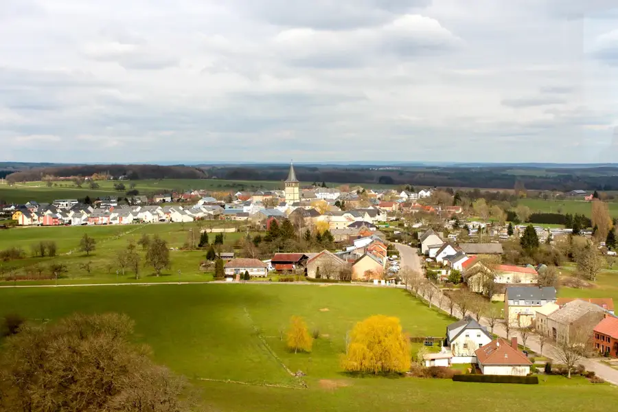
The Sûre (Sauer) River, with a total length of approximately 173 kilometers, is one of Luxembourg's most important rivers and a major tributary of the Moselle. It originates in the Belgian Ardennes and flows through northern Luxembourg, where it feeds the Upper Sûre Lake. In its middle course, the Sûre forms the natural border between Luxembourg and Germany over long stretches. Geomorphologically, the river has carved deeply into the Oesling plateau, creating scenic meanders. The Sûre valley is known for its high biodiversity; the floodplain landscapes provide habitats for kingfishers, beavers, and numerous fish species such as trout and barbel. Historically, the river was an important trade route and the site of numerous mills. Today, the Sûre is a hub for leisure activities such as canoeing, fishing, and hiking along the cross-border Sûre valley.
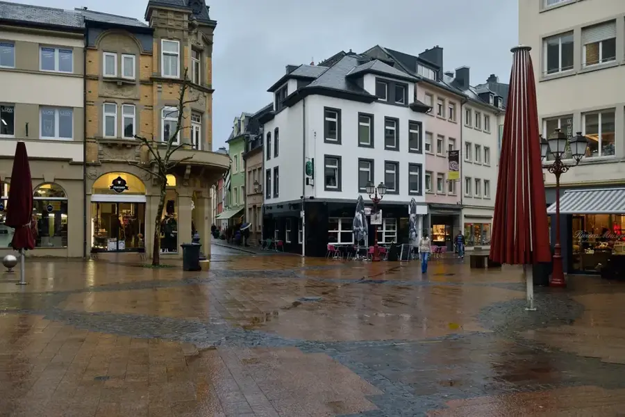
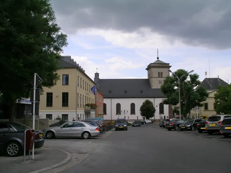
- Location: Luxembourg
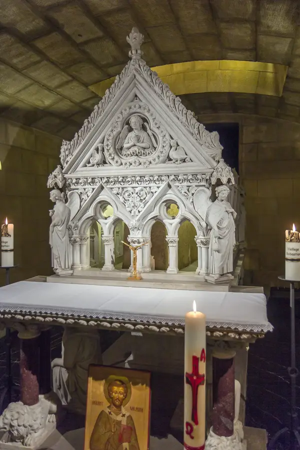
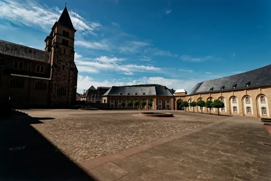
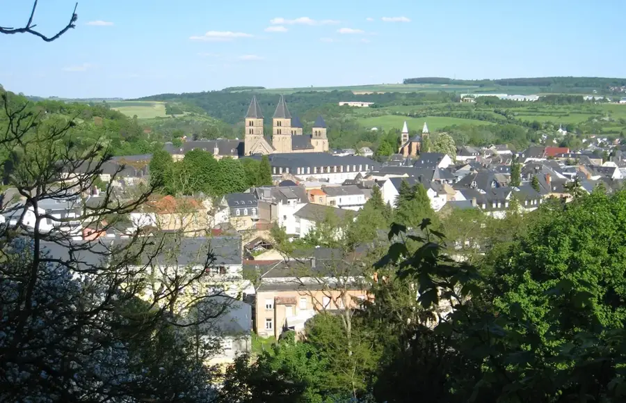
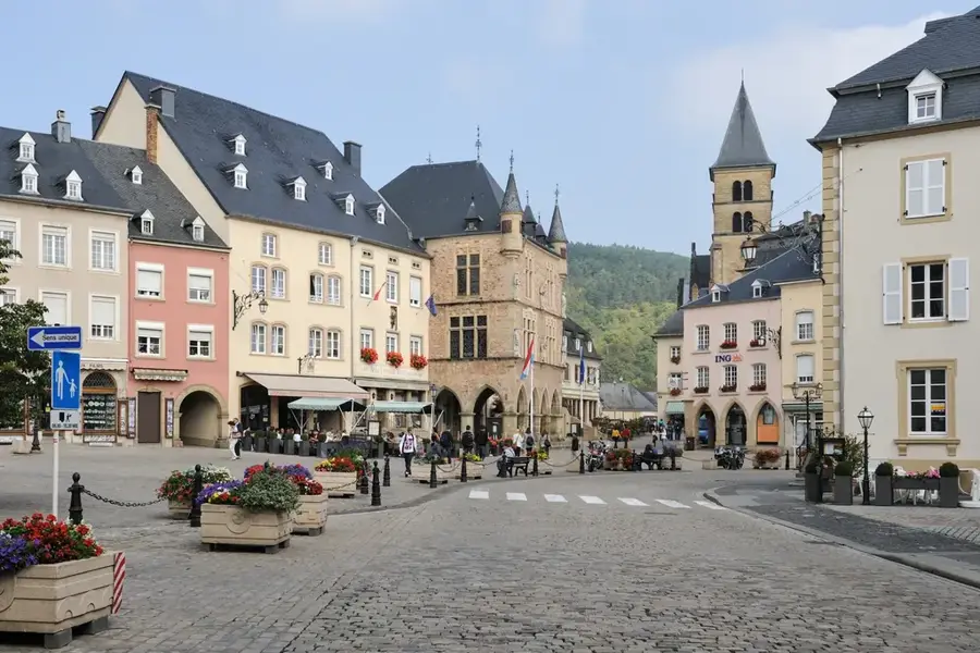
- Top sights: Saints-Pierre-et-Paul · Basilique Saint-Willibrord · Agora
- Nearby: Berdorf (5 km)
Best time to visit & climate
The most pleasant time to visit is Jun–Aug.
| Jan | Feb | Mar | Apr | May | Jun | Jul | Aug | Sep | Oct | Nov | Dec | |
|---|---|---|---|---|---|---|---|---|---|---|---|---|
| Avg °C | 0 | 1 | 4 | 8 | 12 | 16 | 18 | 17 | 14 | 9 | 5 | 1 |
| Rain mm | 75 | 64 | 63 | 49 | 75 | 75 | 74 | 81 | 59 | 67 | 72 | 84 |
📋 Practical info
Geography
Facts
- The total length of the Sûre is 173 kilometers, 136 of which are in Luxembourg.
- The river flows into the Moselle at Wasserbillig at an elevation of 132 meters.
- The catchment area covers a surface of approximately 4,240 square kilometers.
- The Sûre forms the border between Luxembourg and the German state of Rhineland-Palatinate.
- Major tributaries include the Alzette, the Our, and the Wiltz.
- Water quality is monitored through continuous surveillance systems.
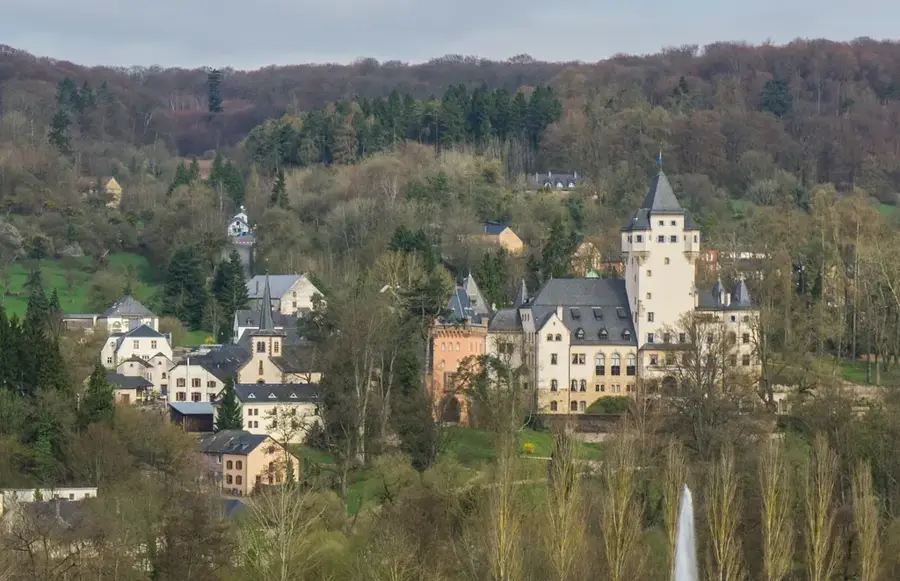
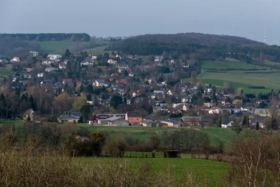
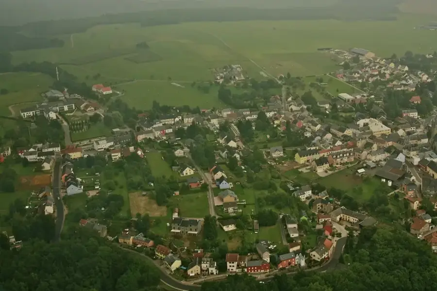
Explore nearby
Notable places around
Route planner — Car & Motorhome
Where do you start? We build the route here, with stops and country notes along the way.
© OpenStreetMap contributors · OpenRouteService
Sights in the town Sauer River (9)
Trifolion
Concert and congress hall in Echternach, Luxembourg.
Atrium
Theatre in Echternach, hosts events and shows.
Gothic House
House in Luxembourg, built in Gothic style.
Muttergotteskapell
Chapel in Echternach, dedicated to the Virgin Mary.
Echternacher Brücke
Bridge in Echternach, connects the banks of the Sauer.
Sights nearby
Frequently asked questions
Can you go canoeing on the Sauer?
Is the Sauer a border river?
Are there cycling paths along the river?
Is fishing allowed in the Sauer?
Where is the most beautiful section?
Sauer River: where is it located?
Sauer River: what is there to see?
Sauer River: when is the best time to visit?
Sauer River: why is it worth visiting?

Nearby cities
History & landmarks
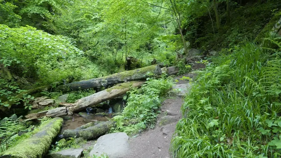
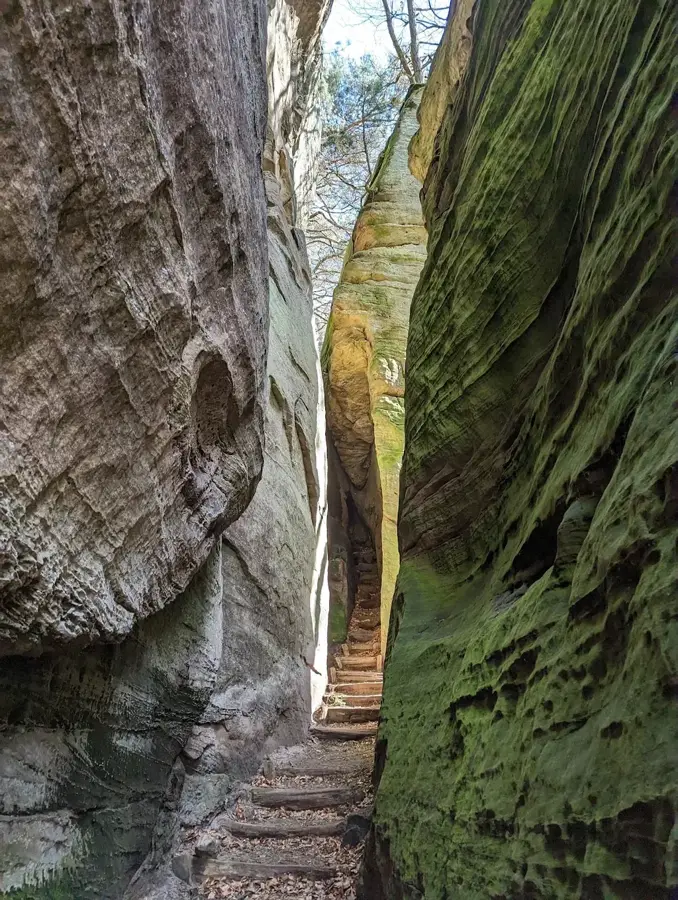
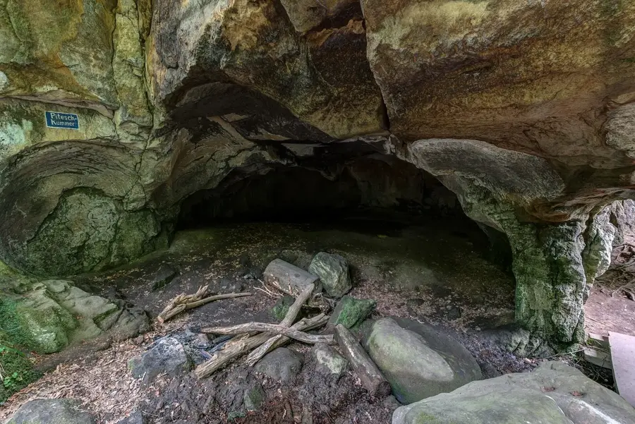
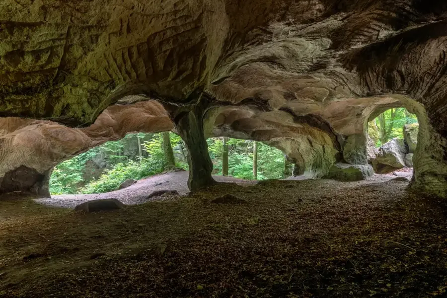
Nature
More places