Plizio Visual Lab
Consdorf
ℹ️Practical info — Consdorf
▾
🌤 Weather — 5 days
📍 Nearby
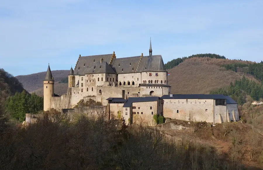
Sights nearby
💡 Tips
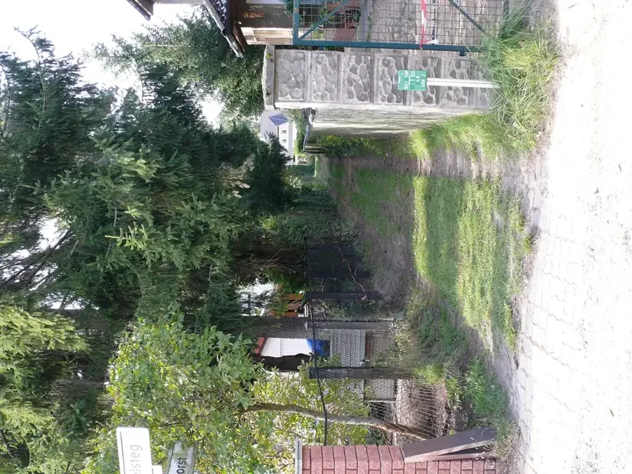
- Bring a flashlight for the dark, narrow rock crevices like the Kuelscheier on hiking trail C2.
- Wear hiking boots with good grip; the sandstone trails can be damp and quite slippery.
- Start your hikes early in the morning during summer to avoid the heat and crowds.
- Use the free regional buses to conveniently access different trailheads across the Mullerthal region.
🍽 Food
Try this traditional Ardennes ham at a rustic tavern in the village.
Grab this meat pie with Riesling jelly from a local bakery as a well-suited hiking snack.
Very refreshing after a long hike, served in most village pubs.
🛍 Shopping · 🧘 Quiet spots
Small local shops or those in nearby Echternach offer necessary trail accessories.
Check the village grocery store for local cheeses and cured meats for your backpack.
Find a quiet spot in the forest near the imposing rock formations.
Walk the less crowded sections early in the morning to have nature to yourself.
Water temperature…
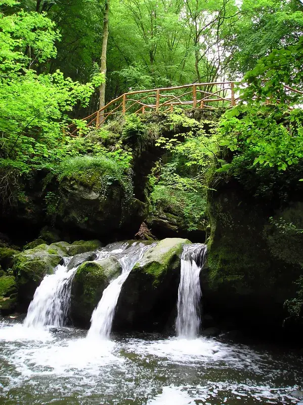
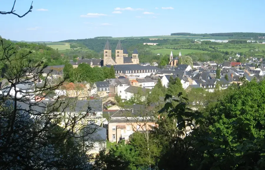
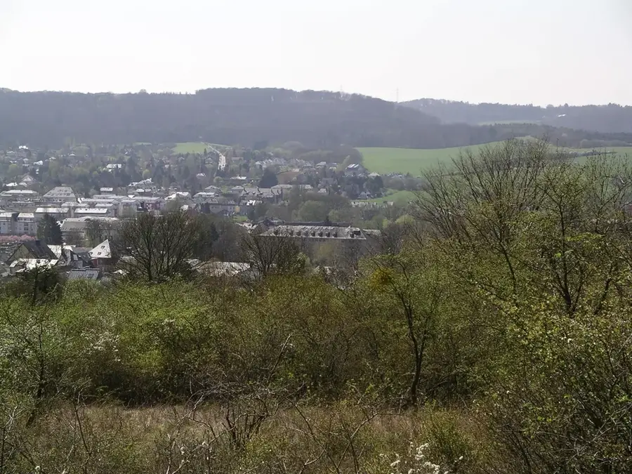
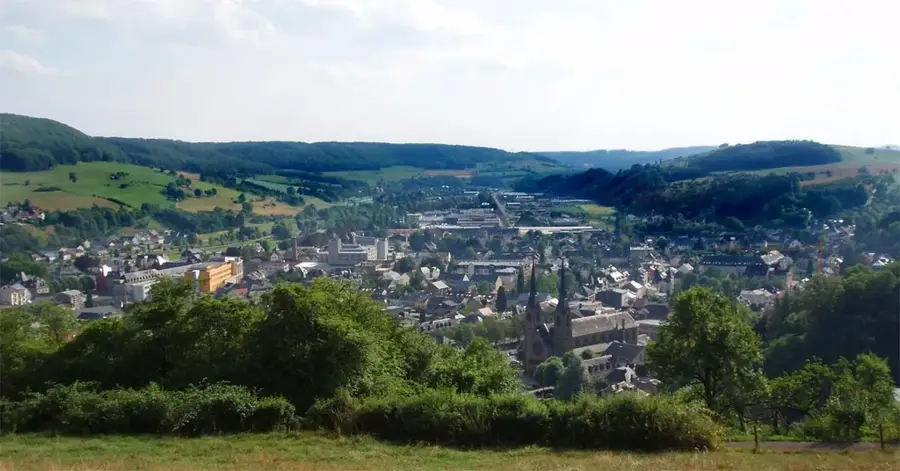
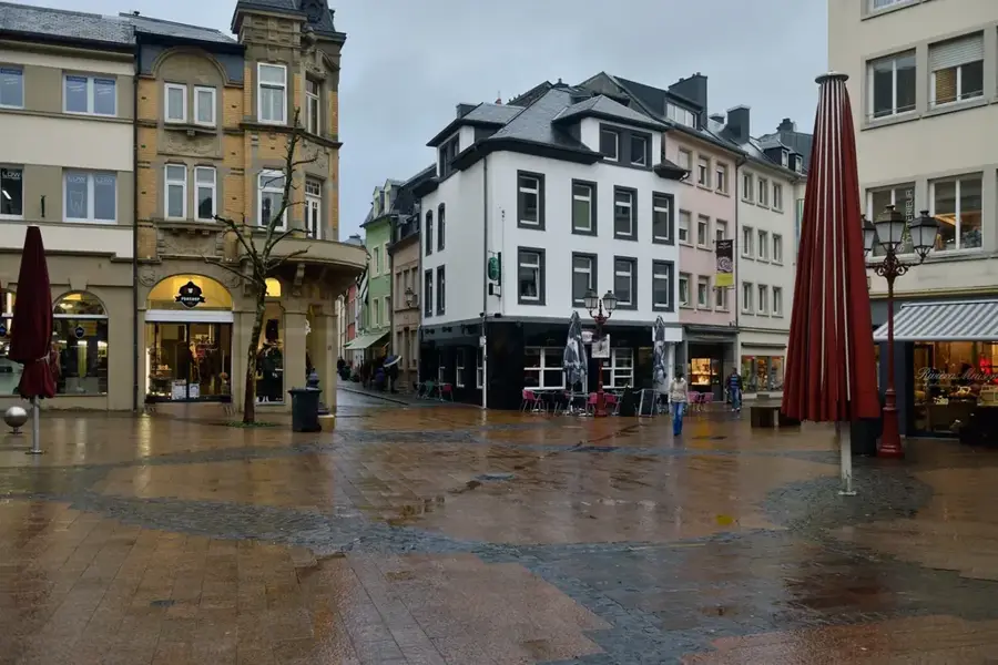
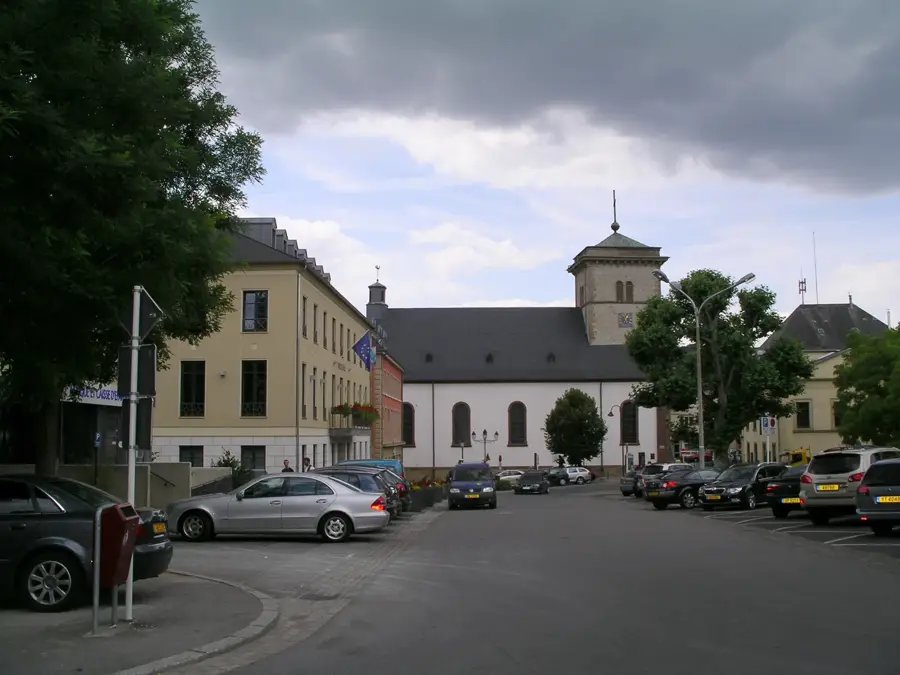
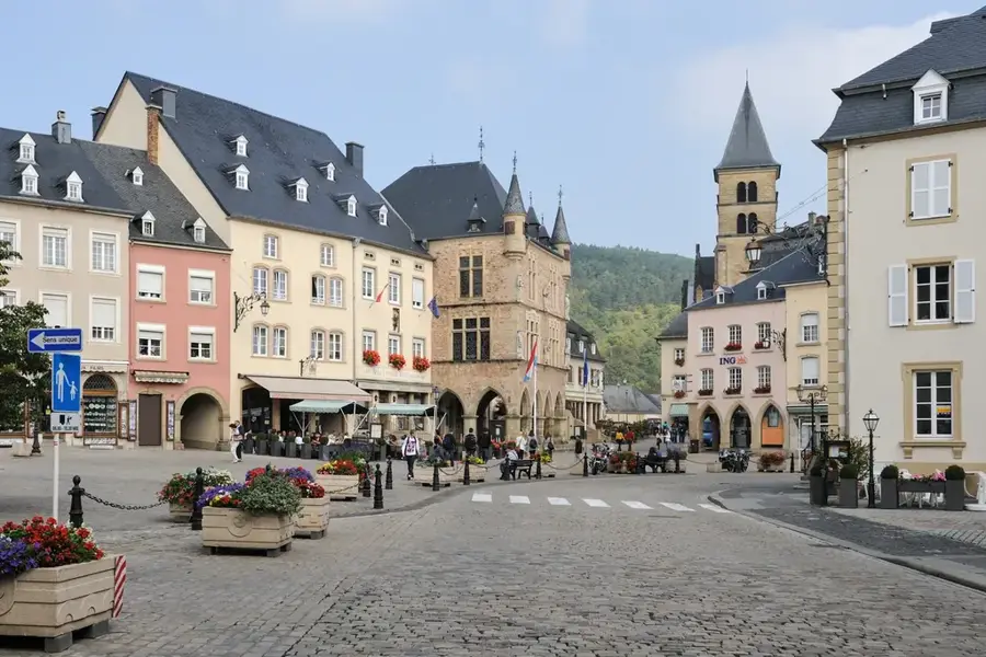
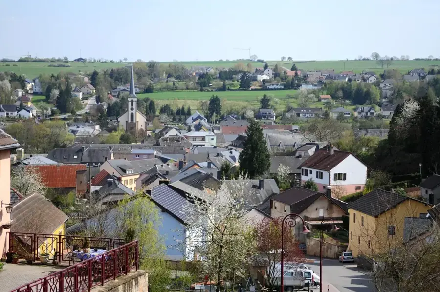
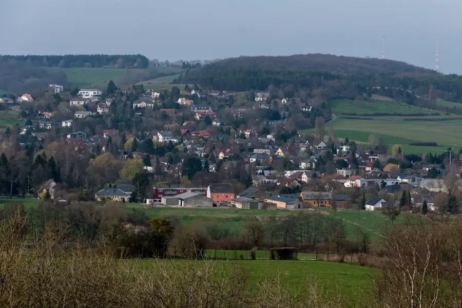
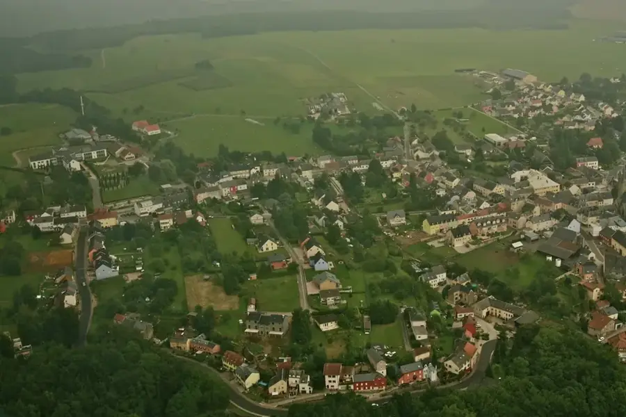
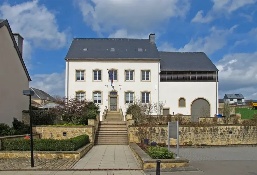
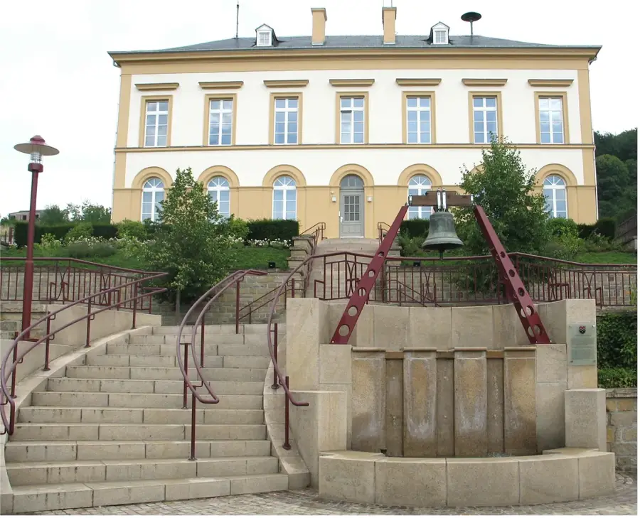
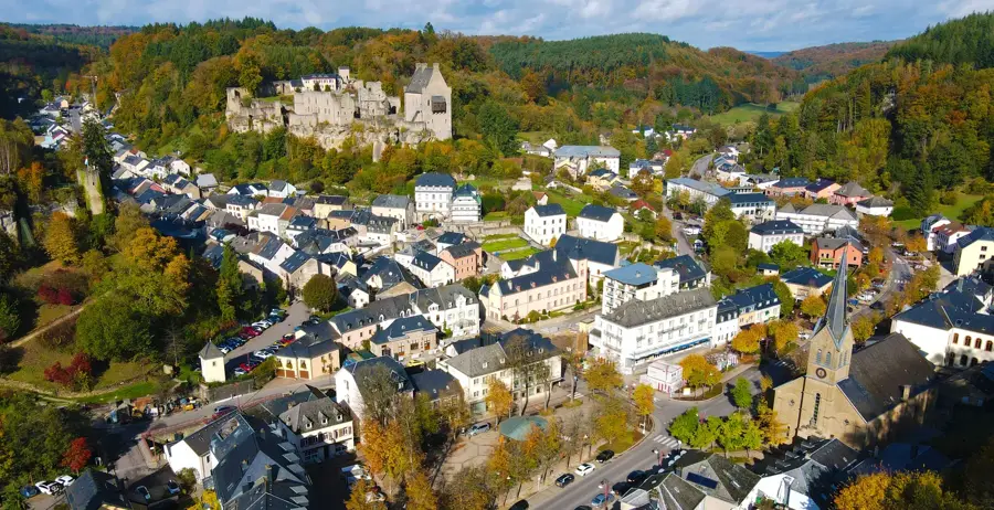
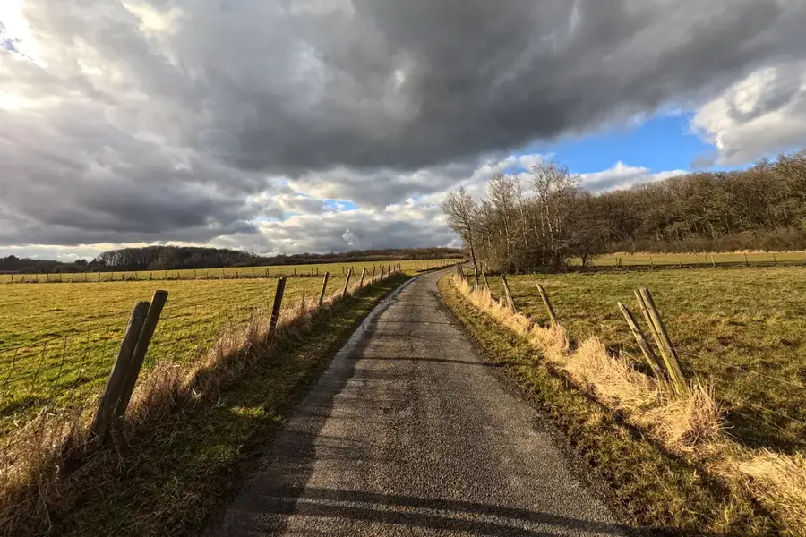
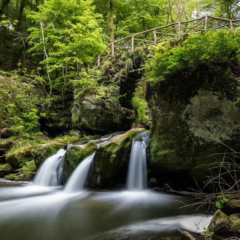
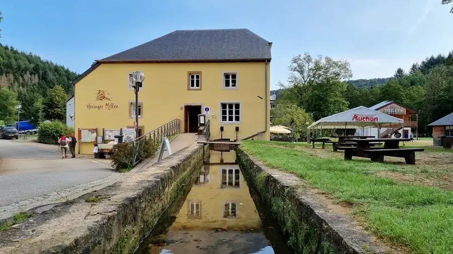
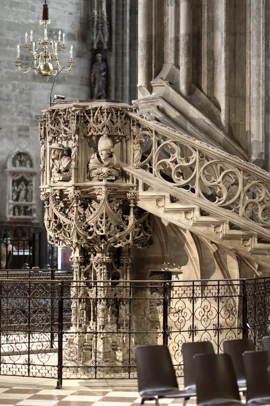
Consdorf is considered the gateway to the Mullerthal region, also known as Little Switzerland, and is located in the east of the country. The village is situated on a high plateau and serves as a well-suited starting point for hikes through the spectacular sandstone rock formations of the area. One of the most famous sights is the Kuelscheier, an extremely narrow rock crevice that can only be traversed with a flashlight, attracting adventurers. The history of Consdorf is closely linked to agriculture and forestry, which is reflected in the traditional architecture of the town. The St. Bartholomew Church, visible from afar with its striking late Gothic tower, serves as an important landmark in the region. Consdorf benefits from its location on the Mullerthal Trail, a multi-award-winning long-distance hiking path that opens up the scenic diversity of the area. In addition to tourism, the preservation of natural resources plays a central role for the commune, which includes several protected biotopes. The town combines rustic charm with modern tourist infrastructure and remains a favorite destination for nature lovers and active vacationers.
- Location: Luxembourg
- Top sights: Steebaachtal Polissoir · Ginstegestell · 'Monument aux morts
- Nearby: Berdorf (5 km)
- Population: ~1.241
Best time to visit & climate
The most pleasant time to visit is Jun–Aug.
| Jan | Feb | Mar | Apr | May | Jun | Jul | Aug | Sep | Oct | Nov | Dec | |
|---|---|---|---|---|---|---|---|---|---|---|---|---|
| Avg °C | 0 | 1 | 4 | 8 | 12 | 16 | 18 | 17 | 14 | 9 | 5 | 1 |
| Rain mm | 75 | 64 | 63 | 49 | 75 | 75 | 74 | 81 | 59 | 67 | 72 | 84 |
Geography
Facts
- Consdorf lies on a high plateau between 340 and 380 meters in altitude.
- The Kuelscheier is a famous rock crevice near the village.
- The tower of St. Bartholomew's Church is of late Gothic origin.
- The commune includes the villages of Consdorf, Scheidgen, and Wolper.
- The award-winning Mullerthal Trail (Route 2) passes through the town.
- The population of the commune is around 2,100 inhabitants.
Explore nearby
Notable places around
Route planner — Car & Motorhome
Where do you start? We build the route here, with stops and country notes along the way.
© OpenStreetMap contributors · OpenRouteService
Sights in the town Consdorf (11)
Frequently asked questions
Why is Consdorf so popular among hikers?
What is the 'Rittergang'?
Are there campsites in Consdorf?
What is the 'Kuelscheier'?
When is the best time to visit?
Consdorf: where is it located?
Consdorf: what is there to see?
Consdorf: when is the best time to visit?
Consdorf: why is it worth visiting?

Nearby cities

History & landmarks
Nature
More places