Plizio Visual Lab
Kazarman
ℹ️Practical info — Kazarman
▾
🌤 Weather — 5 days
📍 Nearby
Sights nearby
💡 Tips
- The town is incredibly isolated; always check the condition of the passes, especially Kaldama Pass, before traveling, as they close in winter.
- Fuel and supplies can be erratic; tank up and bring essentials before embarking on the long dirt roads.
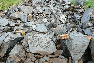
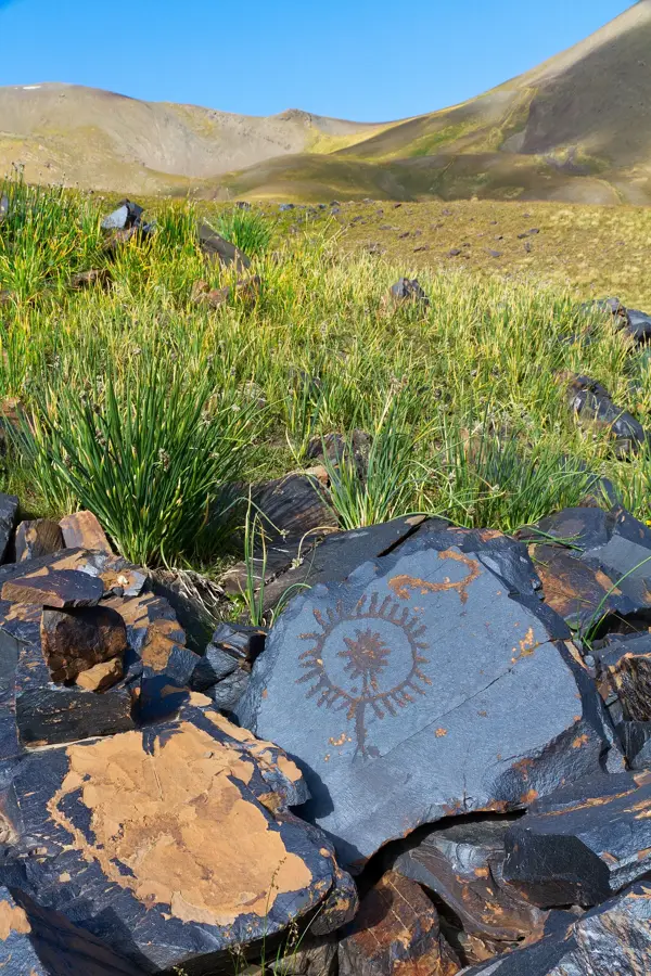
- Kazarman is the starting point for trips to the Saimaluu Tash petroglyphs, but access is only possible in mid-summer.
- Mobile reception drops significantly outside the settlement; download offline maps.
- A sturdy 4x4 and a hired local driver are highly recommended for navigating the rough mountain terrain.
🍽 Food
Ask at your guesthouse if they can prepare this traditional Kyrgyz noodle and meat dish for dinner.
In the summer, locals sell this fermented mare's milk; it is an acquired taste but deeply traditional.
Look for round bread baked in a tandoor at the local bazaar, best eaten warm.
🛍 Shopping · 🧘 Quiet spots
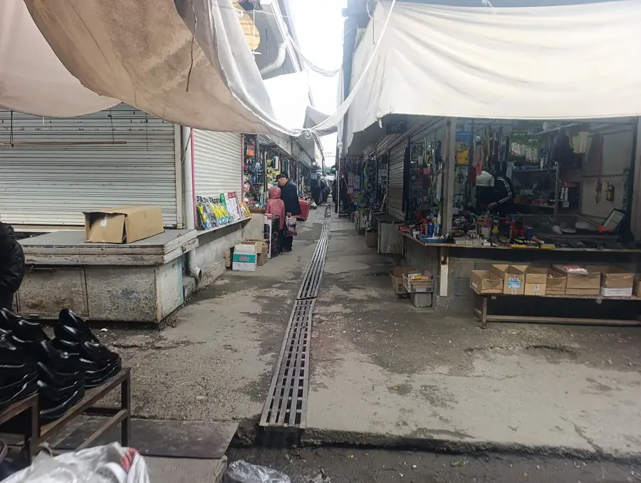
The central hub for buying provisions for mountain treks, from dried fruits to warm clothing.
The mountain herbs make the local honey excellent; ask around at the market for homemade jars.
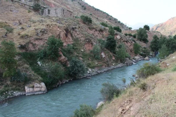
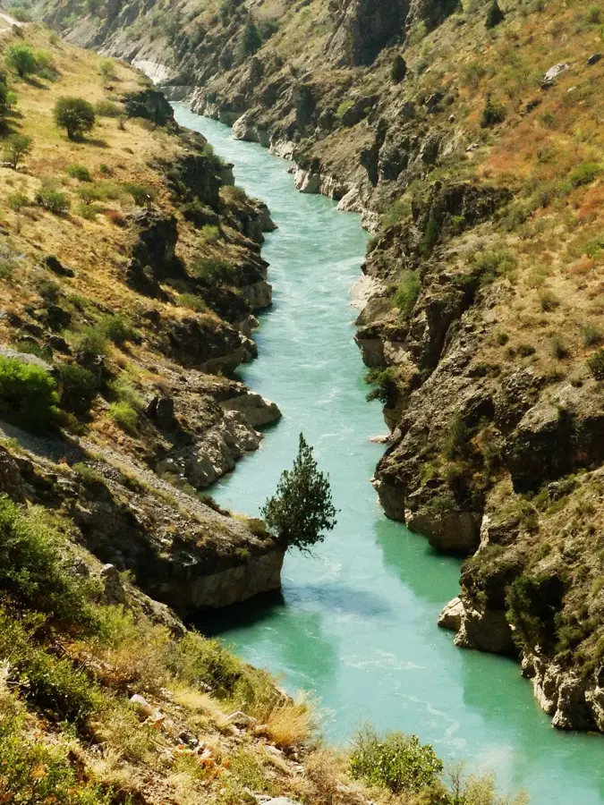
Walk down to the wide Naryn River that flows near the town for a stark, peaceful view.
If accessible in summer, the surrounding valleys offer absolute silence and ancient history.
Water temperature…
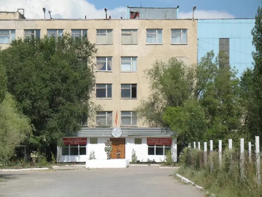
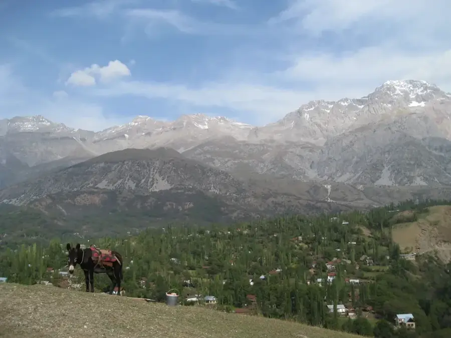
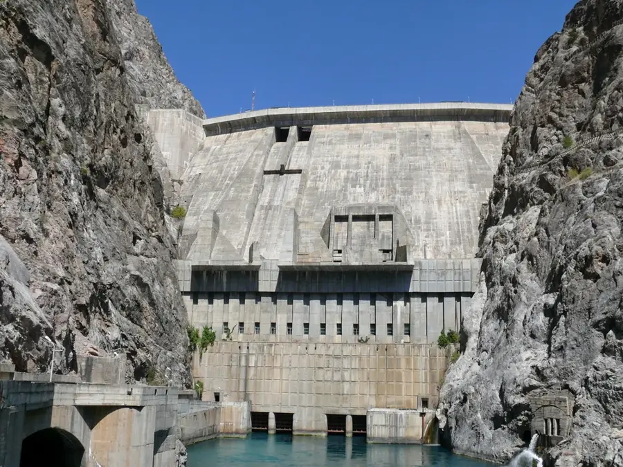
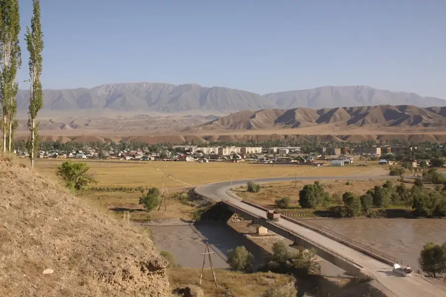
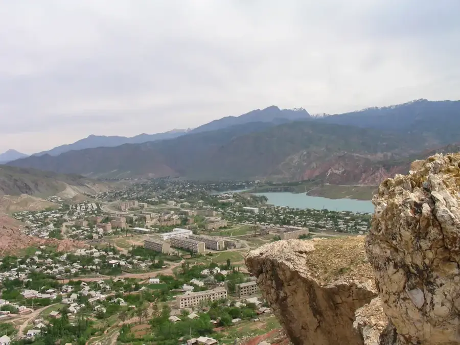
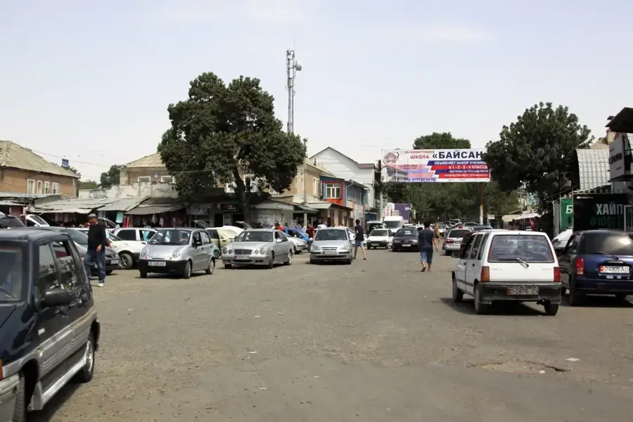
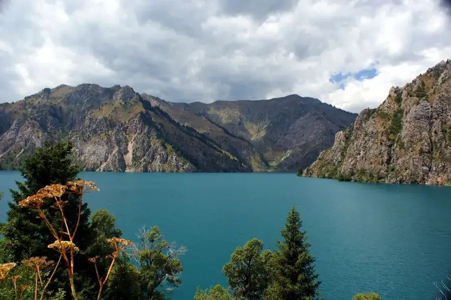
Kazarman is one of the most remote settlements in Kyrgyzstan, lying in the Jalal-Abad Region at about 1300 metres above sea level in the narrow valley of the Naryn River, far from any major town. The village has roughly 13,000 inhabitants and in winter is often cut off from the rest of the country for months at a time, as the only direct road to Bishkek crosses several mountain passes above 3000 metres that regularly close in heavy snow. Its economy has rested since the 1980s on the nearby Makmal gold mine, one of the oldest industrial gold operations in Central Asia. In addition, sheep, goats, yaks and horses are kept on the surrounding summer pastures. Just a few kilometres from Kazarman lie the Saimaluu Tash petroglyphs, with more than 90,000 images engraved into the high-mountain rocks, making them one of the largest rock-art sites in the world.
- Location: Kyrgyzstan
- Nearby: Kara-Balta (47 km)
- Population: ~11.191 (2022)
Best time to visit & climate
The most pleasant time to visit is Jun–Aug.
| Jan | Feb | Mar | Apr | May | Jun | Jul | Aug | Sep | Oct | Nov | Dec | |
|---|---|---|---|---|---|---|---|---|---|---|---|---|
| Avg °C | -11 | -8 | -1 | 5 | 10 | 14 | 17 | 17 | 12 | 4 | -2 | -9 |
| Rain mm | 23 | 33 | 43 | 53 | 39 | 25 | 13 | 10 | 9 | 28 | 38 | 29 |
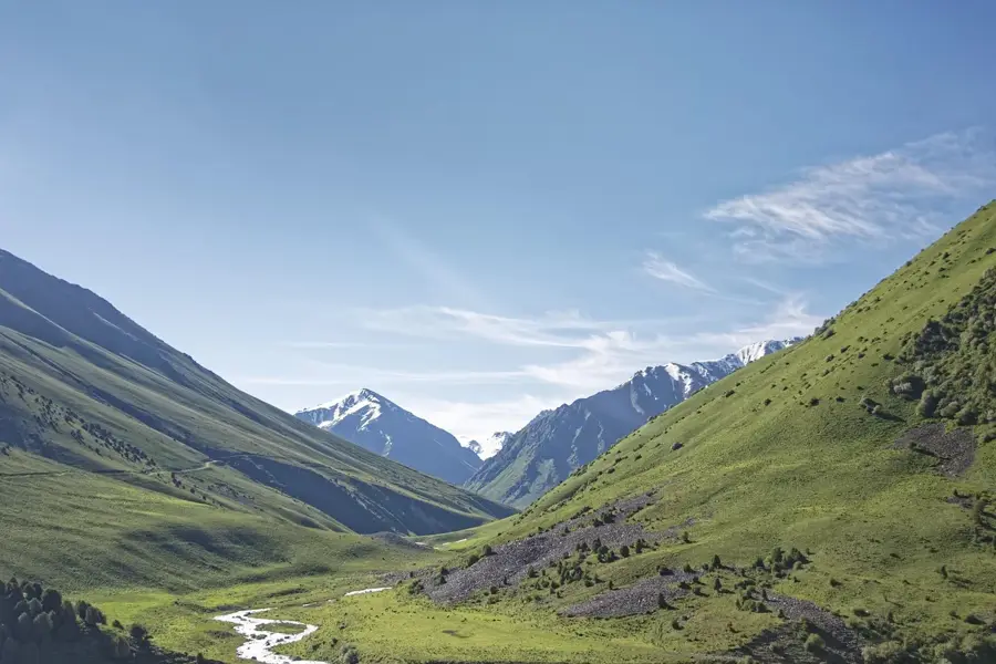
Geography
Facts
- Regarded as one of the most remote and isolated places in the country.
- Gateway to the Saimaluu Tash archaeological site with thousands of petroglyphs.
- Often accessible only by air for months during the winter.
- Home to the 'Makmal' gold mine, the region's primary source of income.
- Established as a settlement for mining workers.
- Located in a deep basin traversed by the Naryn River.
- A key base for adventurous off-road travellers.
Explore nearby
Notable places around
Route planner — Car & Motorhome
Where do you start? We build the route here, with stops and country notes along the way.
© OpenStreetMap contributors · OpenRouteService
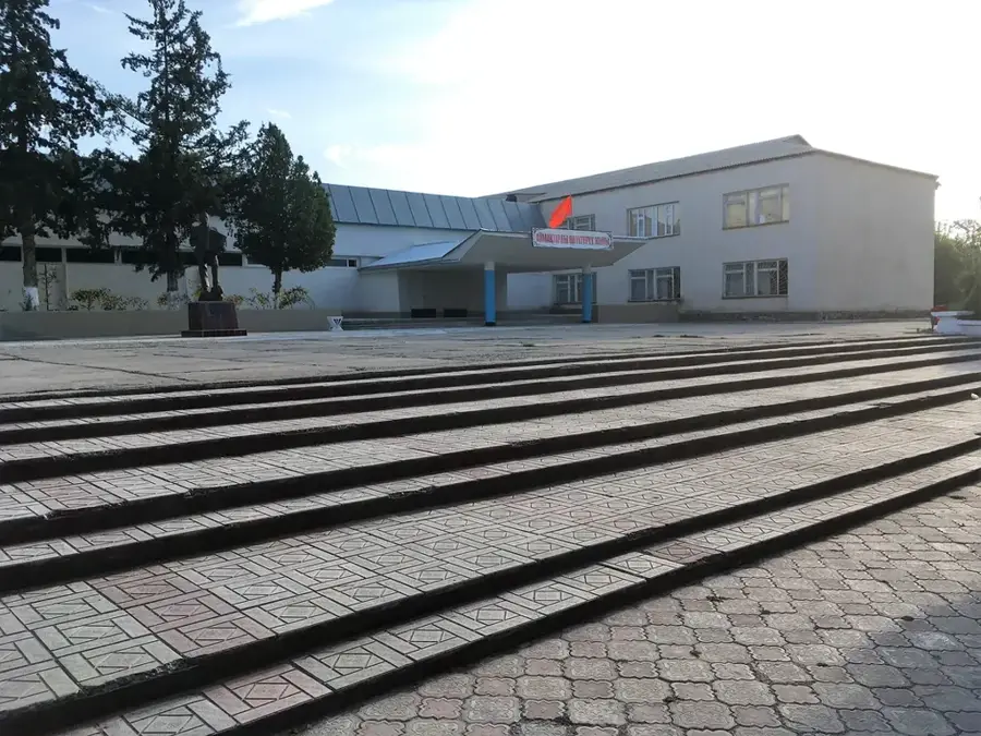
Sights in the town Kazarman (1)
Frequently asked questions
Is Kazarman easy to reach?
Why do tourists visit Kazarman?
Are there hotels in Kazarman?
What should I bring for the trip?
What type of vehicle is recommended?
Kazarman: where is it located?
Kazarman: when is the best time to visit?
Kazarman: why is it worth visiting?

Nearby cities


History & landmarks
Nature
More places