Plizio Visual Lab
Moroto
ℹ️Practical info — Moroto
▾
🌤 Weather — 5 days
📍 Nearby
Sights nearby
💡 Tips
- Visit Moroto Main Market on Wednesdays or Saturdays to see the most authentic Karamojong trade and life.
- The sun is extremely intense; always wear a wide-brimmed hat and carry at least 2-3 liters of water.
- Always ask for permission before taking photos of people, especially in the markets or manyattas (homesteads).
- Hire a local guide for hikes on Mt. Moroto, as most trails are unmarked and difficult to navigate alone.
- Respect traditional customs; modest dress is highly appreciated when visiting rural village communities.
🍽 Food
A regional staple starch, often served with sun-dried meats or rich local stews.
The go-to spot for high-quality Ugandan coffee and a modern menu in a social setting.
Freshly prepared over open fires at the market, a cheap and popular local snack.
🛍 Shopping · 🧘 Quiet spots
Buy animated necklaces directly at the market; colors signify age, status, and clan identity.
Hand-carved small wooden stools that Karamojong people carry with them everywhere.
Just 3km from town, find quiet rocky outcrops with panoramic views of the Karamoja plains.
Visit the mountain villages of the Tepeth people for a quieter, more secluded cultural experience.
Water temperature…
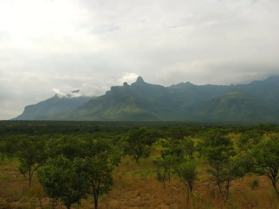
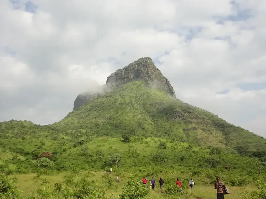
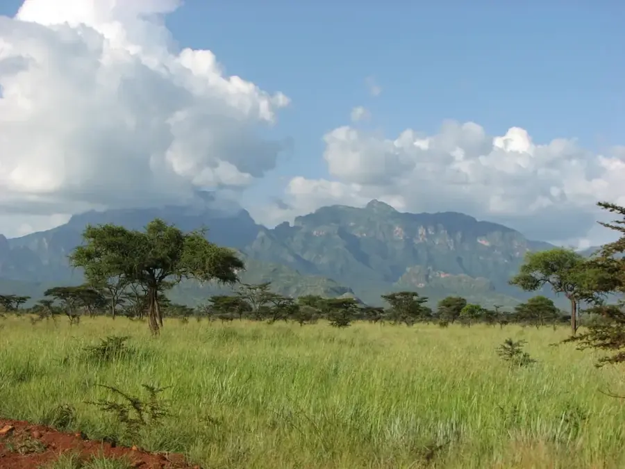
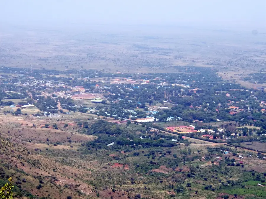
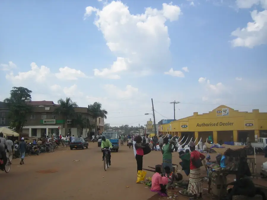
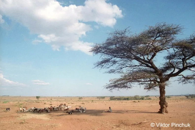
Moroto sits at the base of the massive 2,722-meter Mount Moroto, which defines the horizon of the Karamoja region in northeastern Uganda. As a key administrative and commercial hub, the town has grown significantly, driven by regional trade and the extraction of natural resources like gold, marble, and limestone. The surrounding landscape is characterized by semi-arid plains, which have historically shaped the semi-nomadic pastoralist lifestyle of the local Karamojong people. Visitors to Moroto can experience a culture that remains deeply rooted in tradition, visible in the local markets where handmade jewelry and distinctive fabrics are traded. The town is a prime starting point for treks up the mountain, offering diverse ecosystems ranging from dry savannah at the base to lush forests near the peaks. The recent expansion of infrastructure has made the city more accessible, yet it retains a rugged, frontier atmosphere that appeals to those seeking an authentic glimpse into Uganda's northern hinterlands.
- Location: Uganda
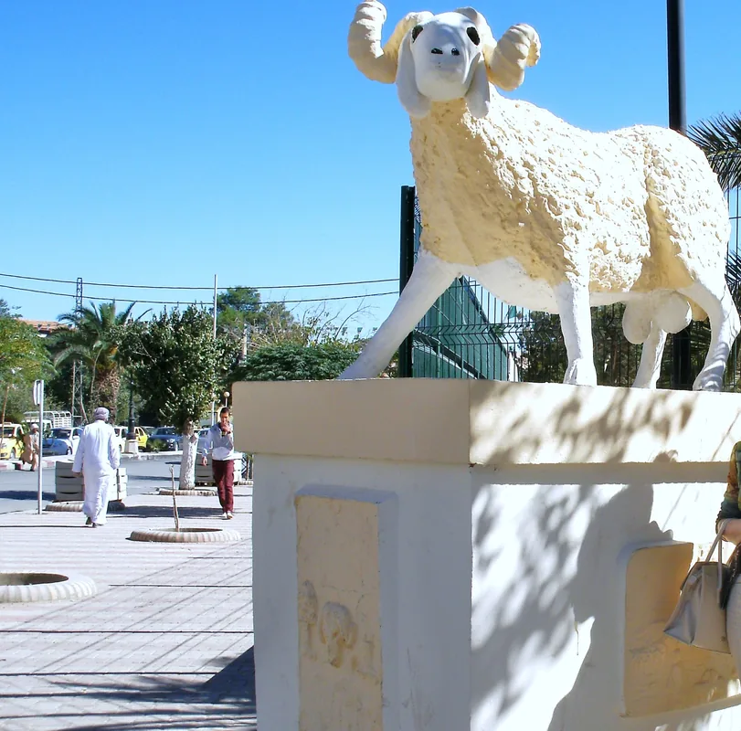
- Top sights: ATEKER CULTURAL CENTRE MUSEUM · Karamoja Cultural Museum · Nakiloro Elder's Place
- Nearby: Kotido (72 km)
- Population: ~16.300 (2024)
Best time to visit & climate
The most pleasant time to visit is Jan, Nov, Dec.
| Jan | Feb | Mar | Apr | May | Jun | Jul | Aug | Sep | Oct | Nov | Dec | |
|---|---|---|---|---|---|---|---|---|---|---|---|---|
| Avg °C | 25 | 27 | 27 | 25 | 24 | 24 | 23 | 23 | 24 | 25 | 24 | 24 |
| Rain mm | 11 | 9 | 34 | 78 | 100 | 79 | 84 | 100 | 79 | 70 | 48 | 33 |
Geography
Facts
- Moroto's population was 12,000 in the 2014 census.
- The town is located at an elevation of 1,400 meters.
- Moroto District covers an area of 3,536 square kilometers.
- Annual marble extraction is 10,000 tons.
- Average annual rainfall is 700 mm.
- The nearest national park is Kidepo Valley, 100 km northeast.
Explore nearby
Notable places around
Route planner — Car & Motorhome
Where do you start? We build the route here, with stops and country notes along the way.
© OpenStreetMap contributors · OpenRouteService
Sights in the town Moroto (3)
Frequently asked questions
How many days should I plan for Moroto?
When is the best time to visit Moroto?
How is it best to reach Moroto?
Are there any culinary specialties in Moroto?
Is Moroto family-friendly?
Moroto: where is it located?
Moroto: what is there to see?
Moroto: when is the best time to visit?
Moroto: why is it worth visiting?

Nearby cities
History & landmarks
More places