Plizio Visual Lab
Rio Minho River
Weather…
Water temperature…
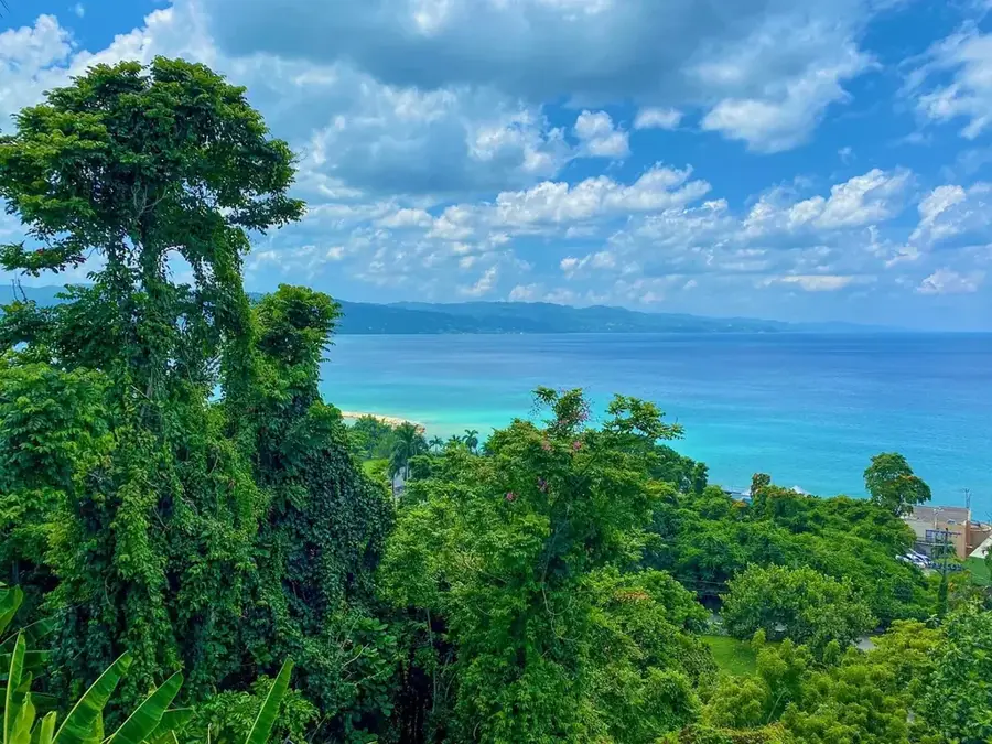
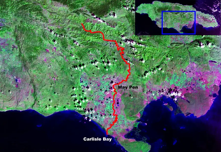
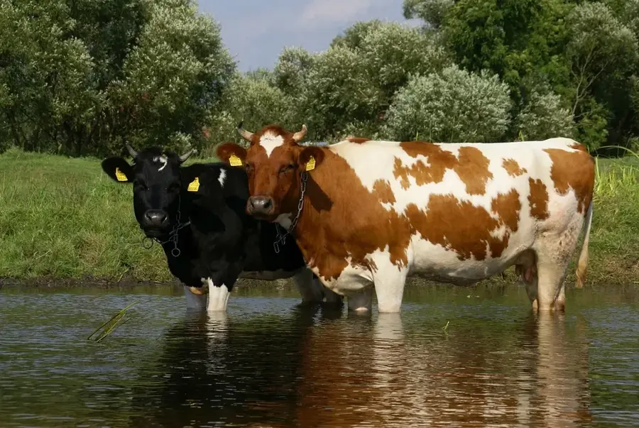
Stretching approximately 92 kilometers, the Rio Minho is the longest river in Jamaica and the lifeblood of the parish of Clarendon. Originating in the central highlands near Bull Head Mountain, it flows through a diverse landscape of steep mountain valleys and broad alluvial plains before emptying into the Caribbean Sea at Carlisle Bay. A fascinating geological feature of the Rio Minho is its partially subterranean nature; during the dry season, large stretches of the lower riverbed may appear completely dry as the water flows through underground limestone channels. However, during heavy rains, it can quickly transform into a powerful torrent that fertilizes the valley with rich sediments. The river is essential for the region's agriculture, particularly for the large-scale cultivation of sugarcane and citrus. Its basin is a vital ecological system, supporting mangrove forests at the coast and a variety of freshwater species in its upper reaches.
- Location: Jamaica
- Nearby: Runaway Bay (18 km)
Best time to visit & climate
The most pleasant time to visit is Jan–Mar.
| Jan | Feb | Mar | Apr | May | Jun | Jul | Aug | Sep | Oct | Nov | Dec | |
|---|---|---|---|---|---|---|---|---|---|---|---|---|
| Avg °C | 26 | 26 | 26 | 27 | 27 | 28 | 28 | 28 | 28 | 28 | 27 | 26 |
| Rain mm | 33 | 19 | 29 | 41 | 111 | 89 | 69 | 104 | 127 | 170 | 87 | 49 |
📋 Practical info
Geography
Facts
- The longest river in Jamaica, with a total length of approximately 92.8 kilometers.
- Originates at Bull Head Mountain, the geographical center of the island.
- Known for flowing through underground limestone passages during dry periods.
- Empties into the sea at Carlisle Bay on Jamaica's southern coast.
- The river basin covers nearly 10% of the island's total land area.
- Historically vital for powering sugar mills and irrigating the Clarendon Plains.
- Known for dramatic flash floods that frequently reshape the riverbanks.
- Supports significant populations of kingfishers and river iguanas in its valley.
Explore nearby
Notable places around
Route planner — Car & Motorhome
Where do you start? We build the route here, with stops and country notes along the way.
© OpenStreetMap contributors · OpenRouteService
Sights nearby
Frequently asked questions
How long is the Rio Minho?
Does the river flow all year round?
Can you fish in the Rio Minho?
Are there bridges over the river worth seeing?
Is the river navigable?
Rio Minho River: where is it located?
Rio Minho River: when is the best time to visit?
Rio Minho River: why is it worth visiting?

Nearby cities
History & landmarks
Nature
More places