Plizio Visual Lab
Sassandra
Weather…
Water temperature…
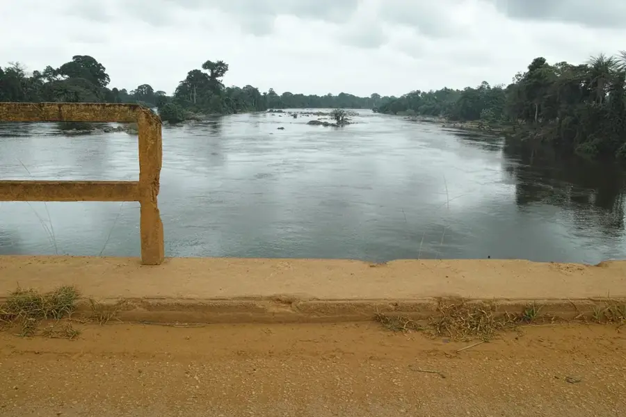
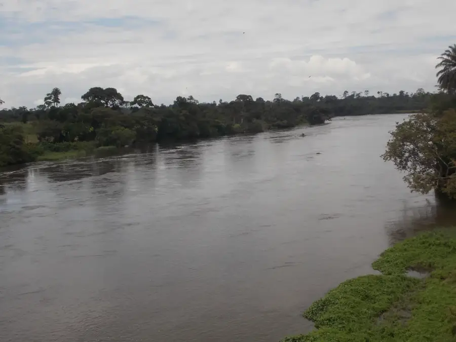
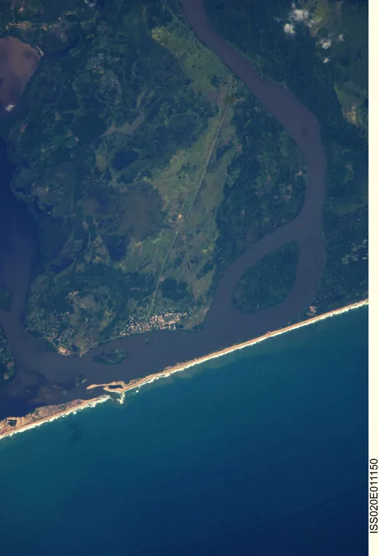
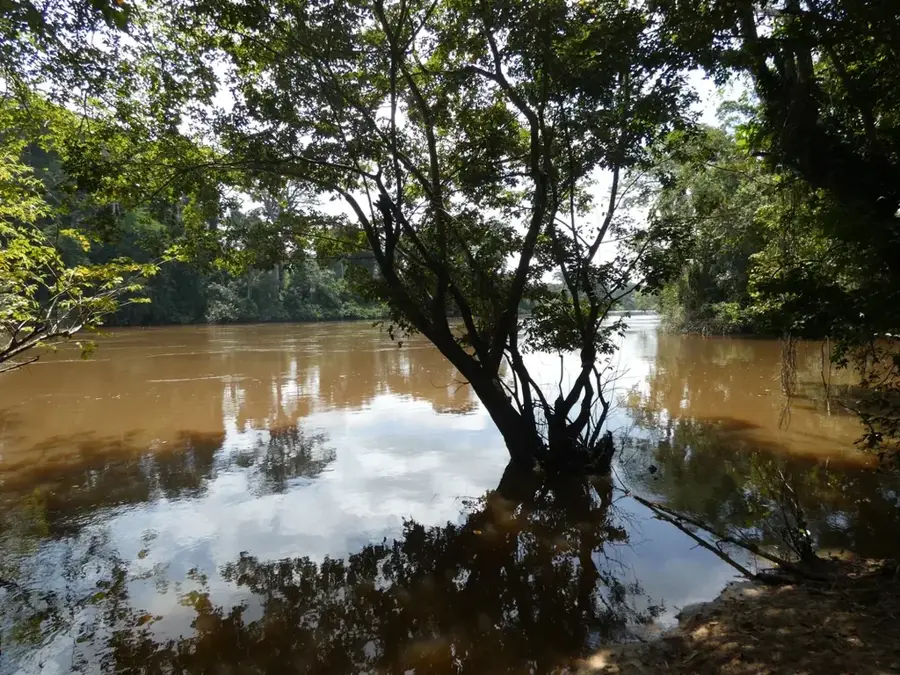
The Sassandra River is one of the primary waterways of Ivory Coast, stretching approximately 650 kilometers from the highlands of Guinea to the Gulf of Guinea. Formed by the confluence of the Tiemba and Bafing rivers, it drains an extensive basin in the western part of the country, characterized by tropical rainforests and fertile agricultural lands. The river is a cornerstone of the national economy due to its significant hydroelectric potential, harnessed by the Buyo Dam since 1980 and the more recent Soubré Dam. Historically, the river's estuary has been a crucial maritime landmark since Portuguese explorers first mapped the coast in the 15th century. Flowing through regions dominated by cocoa and timber production, the Sassandra remains essential for local livelihoods and transport. However, the ecosystem faces modern challenges such as deforestation and sedimentation, which threaten its water quality and the biodiversity of the surrounding riverine habitats.
- Location: Côte d’Ivoire
- Nearby: San-Pédro (87 km)
Best time to visit & climate
The most pleasant time to visit is Jan, Aug, Dec.
| Jan | Feb | Mar | Apr | May | Jun | Jul | Aug | Sep | Oct | Nov | Dec | |
|---|---|---|---|---|---|---|---|---|---|---|---|---|
| Avg °C | 27 | 27 | 27 | 27 | 27 | 26 | 25 | 24 | 25 | 26 | 26 | 27 |
| Rain mm | 34 | 75 | 116 | 145 | 218 | 356 | 161 | 98 | 158 | 179 | 107 | 58 |
📋 Practical info
Geography
Facts
- The river spans approximately 650 kilometers from source to mouth.
- The Buyo Dam was completed in 1980 to provide hydroelectric power.
- The river is formed by the joining of the Tiemba and Bafing rivers.
- Its drainage basin covers roughly 75,000 square kilometers.
- The Soubré Dam, inaugurated in 2017, is the largest in the country.
- Portuguese explorers reached the river's mouth as early as 1471.
Explore nearby
Notable places around
Route planner — Car & Motorhome
Where do you start? We build the route here, with stops and country notes along the way.
© OpenStreetMap contributors · OpenRouteService
Sights nearby
Frequently asked questions
Can you go boating on the Sassandra River?
Is the river dangerous?
What is the river used for economically?
Can you camp by the river?
Where does the Sassandra originate?
Sassandra: where is it located?
Sassandra: when is the best time to visit?
Sassandra: why is it worth visiting?

Nature
More places