Plizio Visual Lab
Cavally
Weather…
Water temperature…
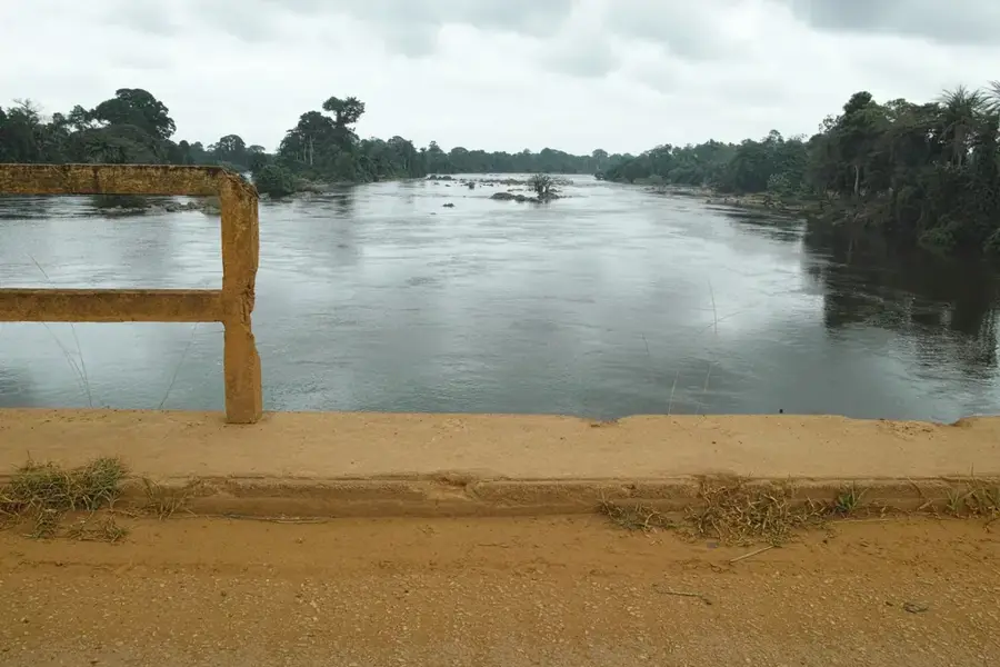
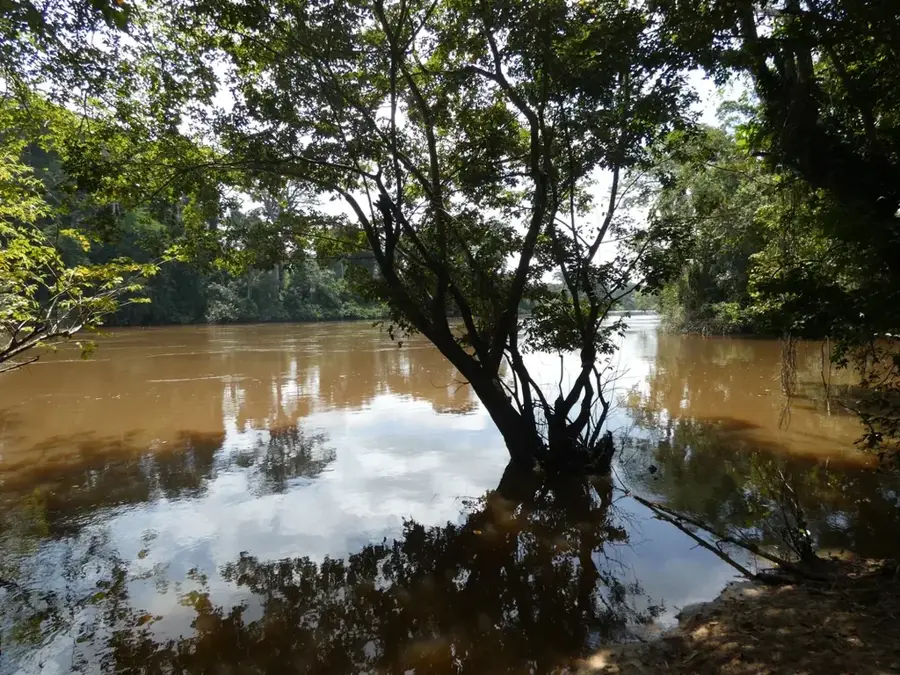
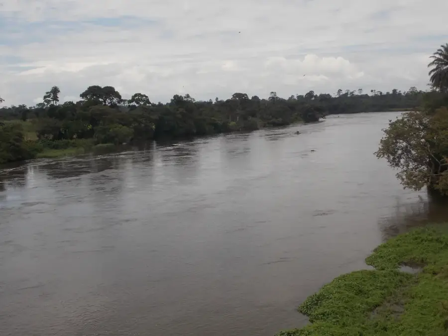
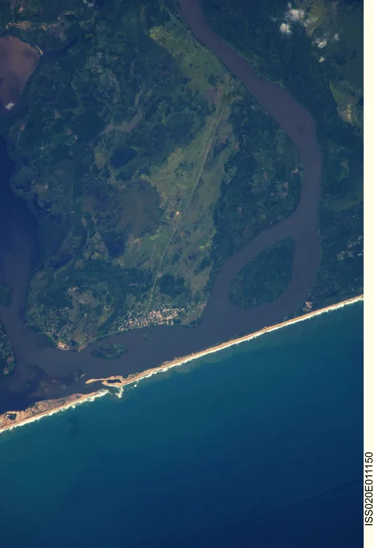
The Cavally River, also known as the Cavalla, is a prominent West African river that forms the international border between Ivory Coast and Liberia for much of its 515-kilometer length. Rising in the Nimba Range of Guinea, it flows southward through dense tropical landscapes before discharging into the Atlantic Ocean near the town of Harper. The river basin is ecologically significant as it borders the Taï National Park, one of the last remnants of the Upper Guinean rainforest. Economically, the Cavally region is a major hub for gold mining and the cultivation of rubber and palm oil, which provides livelihoods for thousands but also poses environmental risks. Historically, the river served as a natural demarcation between different ethnic groups and colonial administrations. While only navigable for small vessels in its lower reaches, the Cavally remains essential for local fishing industries and cross-border trade between neighboring communities.
- Location: Côte d’Ivoire
- Nearby: Tabou (15 km)
Best time to visit & climate
The most pleasant time to visit is Jan, Aug, Dec.
| Jan | Feb | Mar | Apr | May | Jun | Jul | Aug | Sep | Oct | Nov | Dec | |
|---|---|---|---|---|---|---|---|---|---|---|---|---|
| Avg °C | 26 | 27 | 27 | 27 | 27 | 26 | 25 | 24 | 25 | 26 | 26 | 26 |
| Rain mm | 59 | 87 | 125 | 139 | 242 | 389 | 173 | 127 | 199 | 201 | 116 | 67 |
📋 Practical info
Geography
Facts
- The river has a total length of approximately 515 kilometers.
- It defines the boundary between Ivory Coast and Liberia for most of its course.
- The source is located in the Nimba Mountains at an elevation near 1,000 meters.
- The river basin covers an area of roughly 30,225 square kilometers.
- The Ity gold mine is one of the largest industrial operations along its banks.
- Navigation is possible for small craft on the lower 80 kilometers of the river.
Explore nearby
Notable places around
Route planner — Car & Motorhome
Where do you start? We build the route here, with stops and country notes along the way.
© OpenStreetMap contributors · OpenRouteService
Sights nearby
Frequently asked questions
Does the river form a border?
Are there gold deposits by the river?
Is the river navigable?
What landscape surrounds the Cavally?
When does the river have the highest water level?
Cavally: where is it located?
Cavally: when is the best time to visit?
Cavally: why is it worth visiting?

Nature
More places