Plizio Visual Lab
Karimunjawa National Park
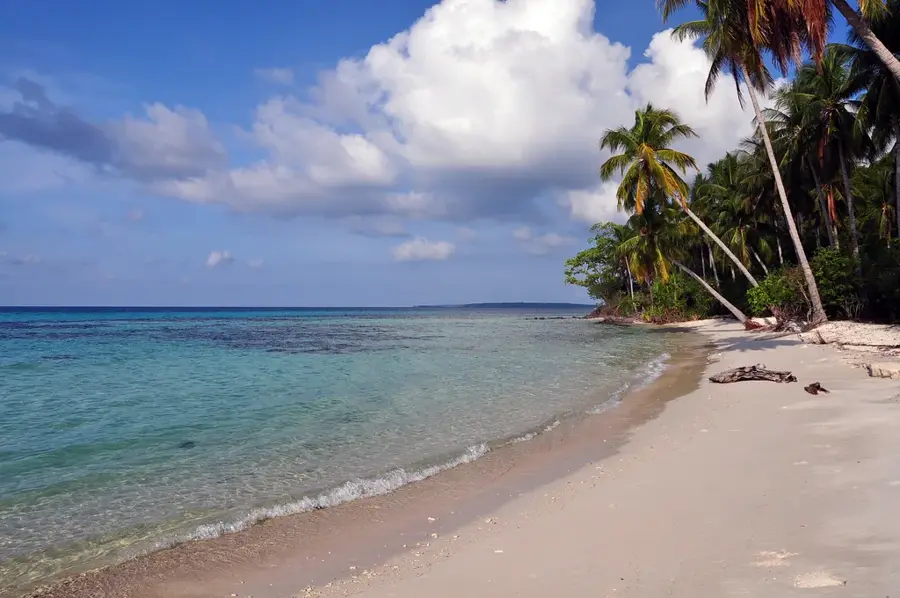
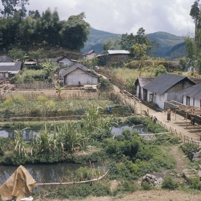
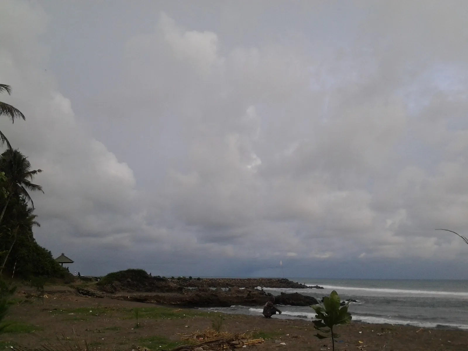
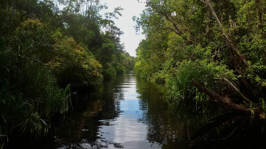
Karimunjawa National Park is an archipelago of 27 islands situated in the Java Sea, roughly 80 kilometers north of Jepara. Formally established as a national park in 2001, it covers a total area of approximately 110,000 hectares, most of which is marine territory. The islands are characterized by their pristine coral reefs, white sandy beaches, and exceptional water clarity. Its ecosystem includes mangroves, coastal forests, and seagrass beds that support a wide variety of marine life, including sea turtles and reef fish. Only five of the islands are inhabited, hosting a diverse population with Javanese, Madurese, and Buginese cultural influences. The park aims to balance the conservation of marine biodiversity with sustainable ecotourism development in Central Java. While tourism is growing, traditional fishing remains the primary economic activity for the local communities.
- Location: Indonesia
- Top sights: The Kelapa beach resort · Wale Skeleton · Karina Beach
- Nearby: Tambak Harjo (43 km)
Best time to visit & climate
The most pleasant time to visit is Jul–Sep.
| Jan | Feb | Mar | Apr | May | Jun | Jul | Aug | Sep | Oct | Nov | Dec | |
|---|---|---|---|---|---|---|---|---|---|---|---|---|
| Avg °C | 28 | 28 | 28 | 28 | 29 | 28 | 28 | 27 | 28 | 28 | 28 | 28 |
| Rain mm | 351 | 307 | 212 | 173 | 128 | 92 | 47 | 23 | 38 | 88 | 162 | 292 |
📋 Practical info
Geography
Facts
- Officially designated as a national park in 2001.
- The archipelago comprises a total of 27 islands.
- Total park area is approximately 110,000 hectares.
- Only five of the 27 islands are permanently inhabited.
- Important nesting ground for green and hawksbill sea turtles.
- Features a biodiversity of over 400 species of reef fish.
Explore nearby
Notable places around
Route planner — Car & Motorhome
Where do you start? We build the route here, with stops and country notes along the way.
© OpenStreetMap contributors · OpenRouteService
Sights in the town Karimunjawa National Park (9)
Sights nearby
Frequently asked questions
How do you get there?
Can you go diving?
Are the islands inhabited?
Are there sharks there?
Best time to travel?
Karimunjawa National Park: where is it located?
Karimunjawa National Park: what is there to see?
Karimunjawa National Park: when is the best time to visit?
Karimunjawa National Park: why is it worth visiting?

Nearby cities
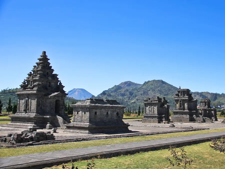
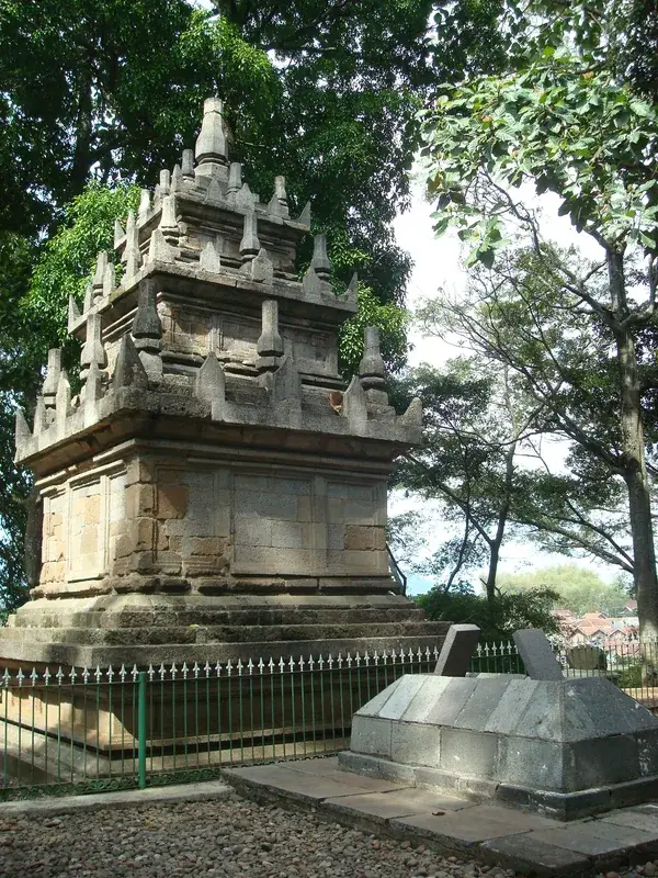
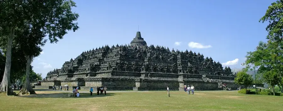
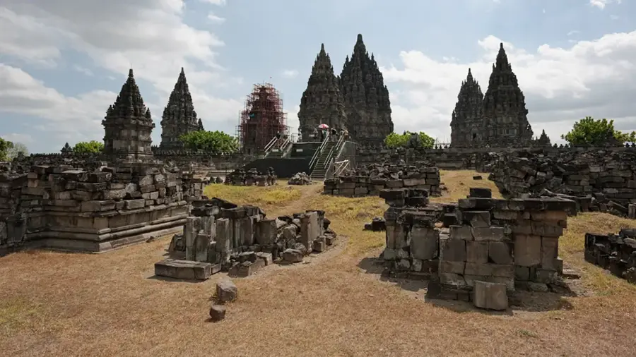
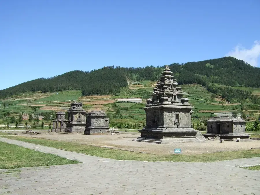
History & landmarks
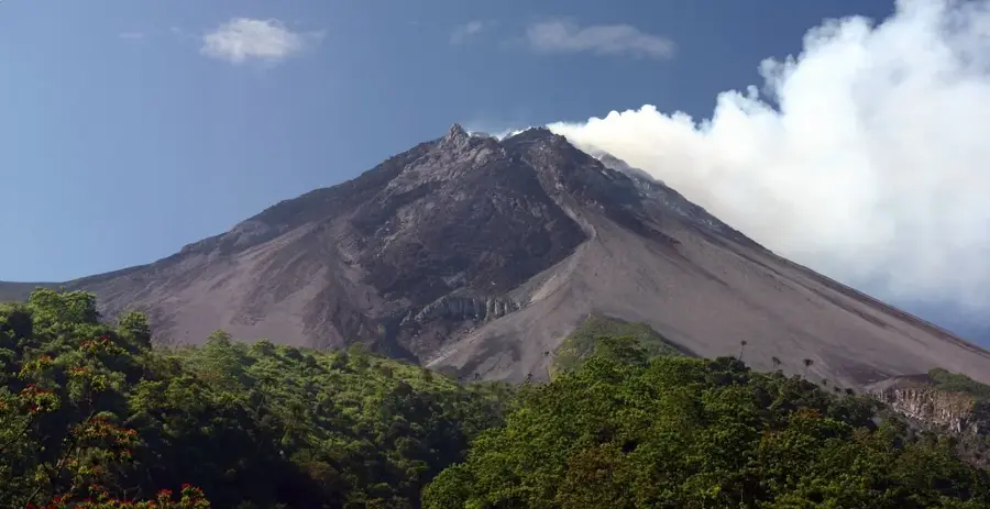
More places