Plizio Visual Lab
Dieng Plateau
Weather…
Water temperature…
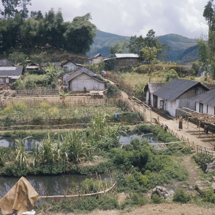
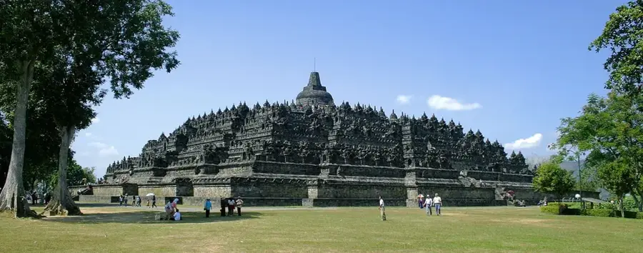
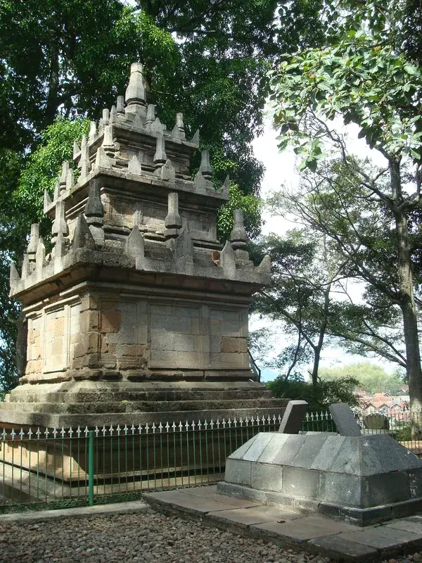
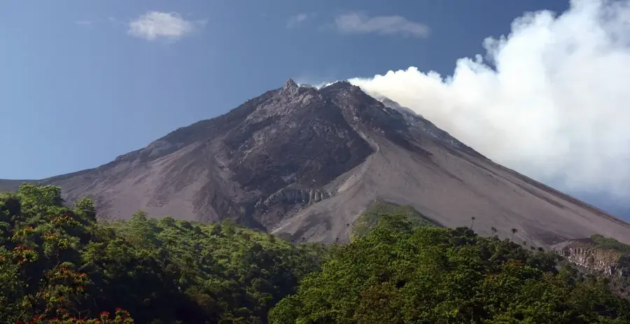
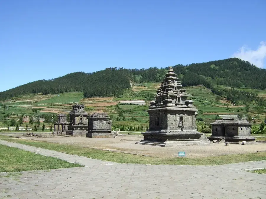
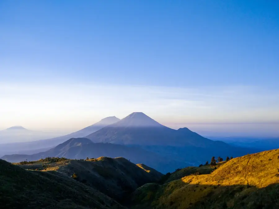
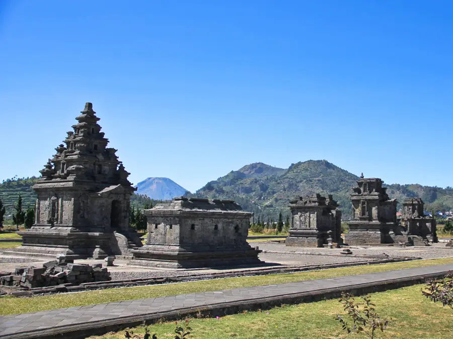
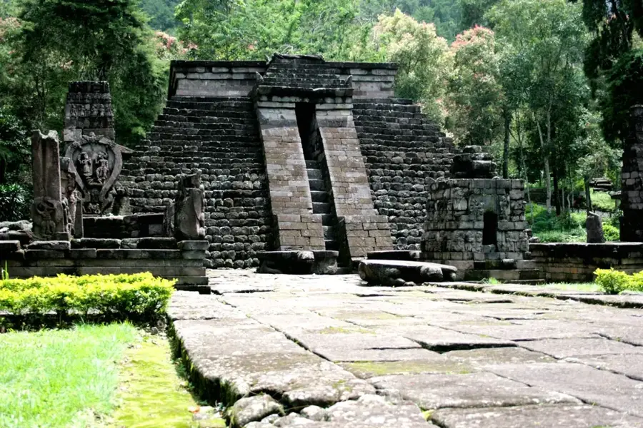
The Dieng Plateau is a massive volcanic complex in Central Java, situated at an average elevation of 2000 meters above sea level. Historically, the plateau served as a major religious center for the Kalinga Kingdom during the 8th and 9th centuries, originally housing over 40 Hindu temples. Today, eight of these Shivaite structures remain, representing some of the oldest surviving stone architecture on the island of Java. Geologically, the area is defined by active volcanic activity, featuring sulfuric springs and the multi-colored Telaga Warna lake. The cool highland climate supports intensive agriculture, particularly the cultivation of potatoes and tobacco. Modern relevance is found in its geothermal power plant, which harnesses volcanic heat to provide sustainable energy for the surrounding provinces.
- Location: Indonesia
- Top sights: Stunning Sunrise Viewpoint · Candi Dwarawati · Tuk Bimo Lukar
- Nearby: Dieng Plateau (6 km)
Best time to visit & climate
The most pleasant time to visit is Jul–Sep.
| Jan | Feb | Mar | Apr | May | Jun | Jul | Aug | Sep | Oct | Nov | Dec | |
|---|---|---|---|---|---|---|---|---|---|---|---|---|
| Avg °C | 25 | 25 | 26 | 26 | 26 | 26 | 25 | 26 | 27 | 27 | 27 | 26 |
| Rain mm | 349 | 349 | 225 | 194 | 145 | 95 | 58 | 32 | 71 | 125 | 218 | 288 |
📋 Practical info
Geography
Facts
- Average elevation of 2000 meters
- 8th-century Hindu stone temples
- Active geothermal volcanic features
- Location of multi-colored lakes
- Major producer of highland potatoes
- Home to a large geothermal plant
Explore nearby
Notable places around
Route planner — Car & Motorhome
Where do you start? We build the route here, with stops and country notes along the way.
© OpenStreetMap contributors · OpenRouteService
Sights in the town Dieng Plateau (3)
Sights nearby
Frequently asked questions
What is the Dieng Plateau?
What is the weather like in Dieng?
What is the 'Blue Fire' of Dieng?
What local specialty should I try?
How do you reach the Dieng Plateau?
Dieng Plateau: where is it located?
Dieng Plateau: what is there to see?
Dieng Plateau: when is the best time to visit?
Dieng Plateau: why is it worth visiting?

Nearby cities
History & landmarks
More places