Plizio Visual Lab
Pilis Mountains
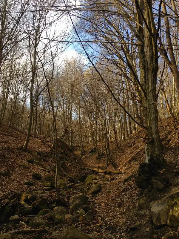
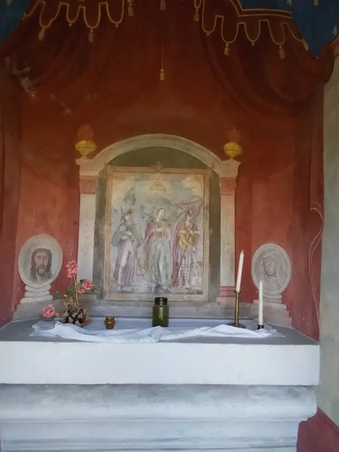
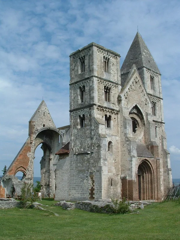
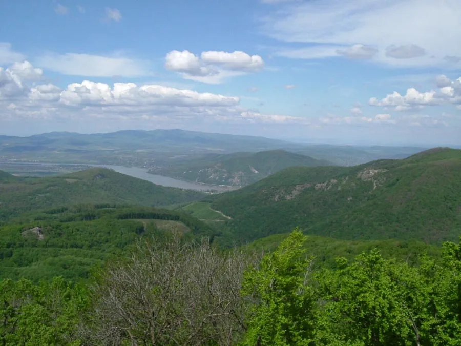
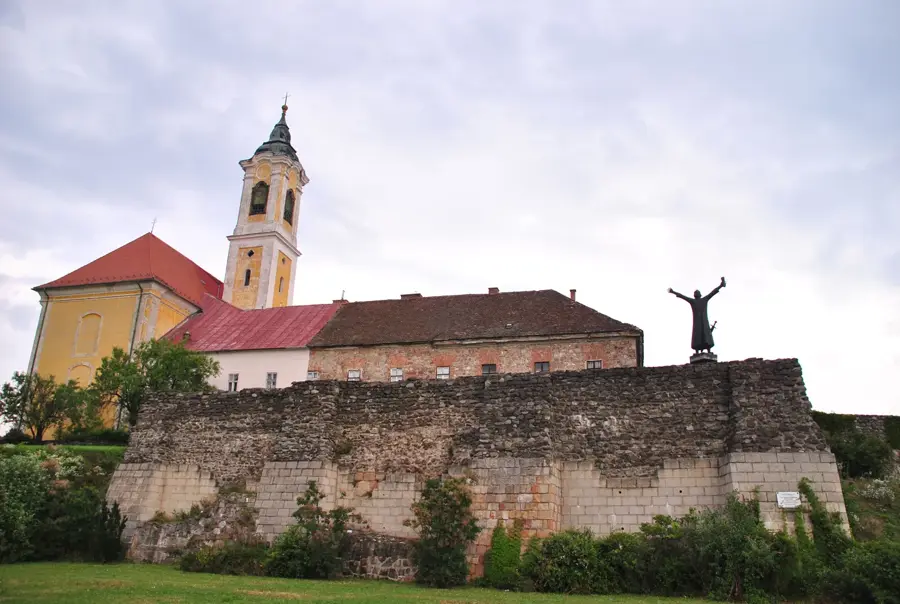
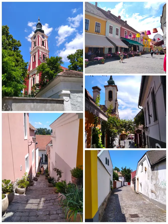
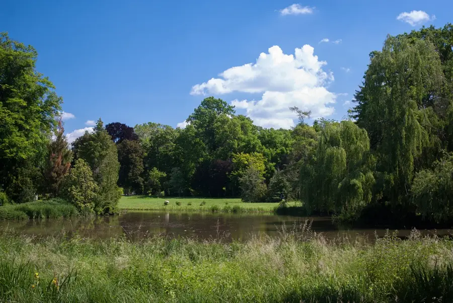
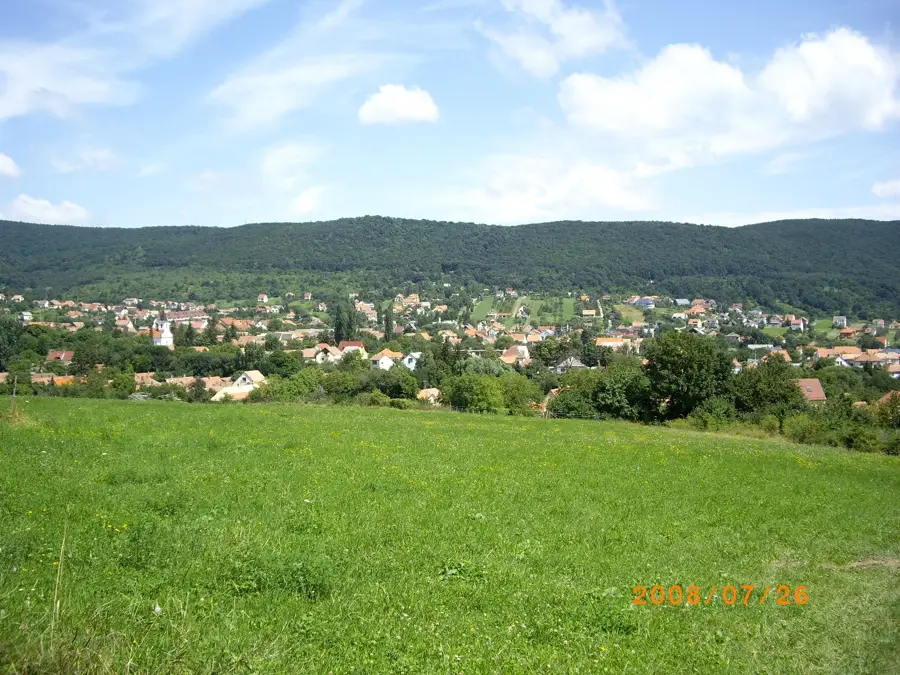
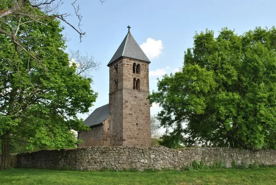
The Pilis Mountains are part of the Transdanubian Range, located directly next to the Danube Bend north of Budapest. Geologically, the mountains consist mainly of limestone and dolomite, which has led to the formation of numerous cave and karst systems. The highest point is Pilis Peak, reaching an elevation of 756 meters and offering extensive views of the capital city and the Danube. In Hungarian history, the mountains hold mystical significance, having served as a preferred hunting ground and spiritual center for the Árpád dynasty in the Middle Ages. Numerous monastery ruins, such as the Pauline monastery in Pilisszentkereszt, bear witness to this sacred past. The area is protected under the Duna-Ipoly National Park and is one of the most popular recreational destinations for hikers and climbers due to its well-marked trails.
- Location: Pest, Hungary
- Top sights: Pilis Abbey · Szlovák tájház · Fokozottan védett természeti terület
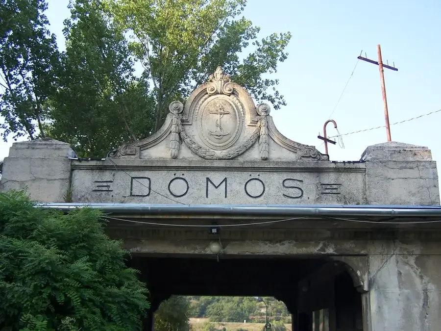
- Nearby: Dömös (7 km)
Best time to visit & climate
The most pleasant time to visit is Jun–Aug.
| Jan | Feb | Mar | Apr | May | Jun | Jul | Aug | Sep | Oct | Nov | Dec | |
|---|---|---|---|---|---|---|---|---|---|---|---|---|
| Avg °C | -2 | 0 | 5 | 11 | 16 | 21 | 23 | 22 | 17 | 11 | 5 | 0 |
| Rain mm | 39 | 40 | 41 | 35 | 65 | 70 | 66 | 63 | 57 | 51 | 44 | 43 |
📋 Practical info
Geography
Facts
- Pilis Peak is the highest elevation in the mountains at 756 meters.
- There are over 300 registered caves throughout the Pilis massif.
- The Pauline monastery in Pilisszentkereszt was founded in the year 1184.
- The Legény Cave and Leány Cave are prominent karst formations in the area.
- The range is part of the Duna-Ipoly National Park, established in 1997.
- During Roman times, the Limes road ran along the base of the mountains.
Explore nearby
Notable places around
Route planner — Car & Motorhome
Where do you start? We build the route here, with stops and country notes along the way.
© OpenStreetMap contributors · OpenRouteService
Sights in the town Pilis Mountains (10)
Lepke-barlang
Cave in Pilisszentkereszt, a natural cavity in the limestone.
Vaskapu
Cave in Pilisszentkereszt, a narrow passage in the rock.
Szurdok völgy
Gorge in Pilisszentkereszt, Hungary, with steep rock walls.
Turistamúzeum - Báró Eötvös Loránd Menedékház🏛 museum
Museum displaying hiking relics, photos, books, and climbing equipment.
Dobogó-kő
Mountain in the Pilis range, a popular hiking destination.
Dobogókői Nagykilátó
Observation tower on Dobogó-kő, offering a panoramic view.
Sights nearby
Frequently asked questions
How far is the Pilis from Budapest?
Where can you find the best view?
What is the Earth's heart chakra in the Pilis?
Are there caves in the Pilis?
Is the Pilis recommended for beginners?
Pilis Mountains: where is it located?
Pilis Mountains: what is there to see?
Pilis Mountains: when is the best time to visit?
Pilis Mountains: why is it worth visiting?

Nearby cities
History & landmarks