Plizio Visual Lab
Vértes Mountains
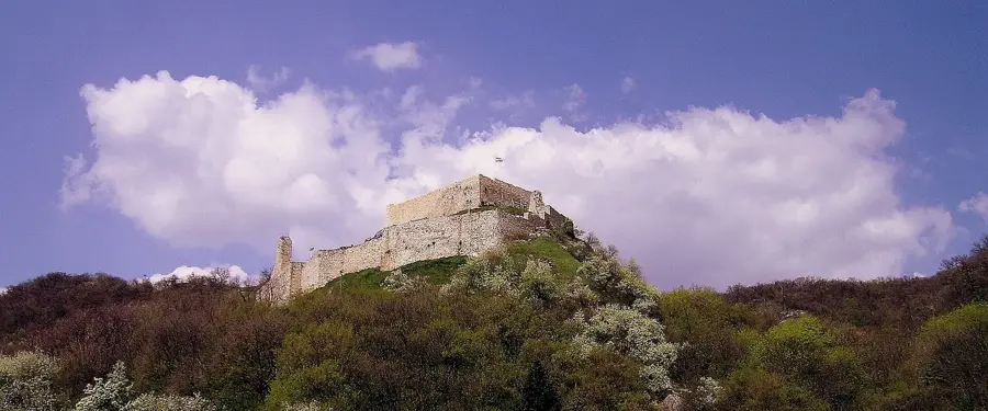
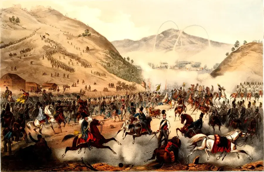
The Vértes Mountains are situated in the northwestern part of Hungary, between the Bakony and Gerecse ranges. It is a medium-height mountain range with an average elevation of 300 to 400 meters, geologically composed mainly of dolomite rock. The name 'Vértes' (meaning 'shielded') is derived from a historical battle in 1051, where the retreating German forces of Emperor Henry III discarded their shields in the mountains. The region is known for its rich flora and fauna and significant bauxite deposits, which were extensively mined near Gánt in the 20th century. Historical fortifications like Csókakő and Gesztes castles stand on steep cliffs and once protected vital trade routes. Today, the Vértes is a protected landscape area, attracting visitors with its characteristic barren limestone cliffs and dense beech forests.
- Location: Fejér, Hungary
- Top sights: Gém-hegy · Felhagyott faszállító lóvasút · Bauxit bánya kilátó pont
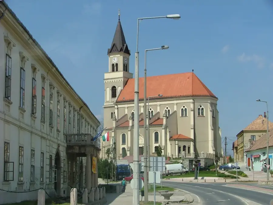
- Nearby: Lovasberény (15 km)
Best time to visit & climate
The most pleasant time to visit is Jun–Aug.
| Jan | Feb | Mar | Apr | May | Jun | Jul | Aug | Sep | Oct | Nov | Dec | |
|---|---|---|---|---|---|---|---|---|---|---|---|---|
| Avg °C | -2 | 0 | 5 | 11 | 16 | 21 | 23 | 22 | 17 | 11 | 5 | 0 |
| Rain mm | 39 | 40 | 41 | 35 | 65 | 70 | 66 | 63 | 57 | 51 | 44 | 43 |
📋 Practical info
Geography
Facts
- Nagy-Csákány is the highest point of the Vértes Mountains at 487 meters.
- The historical battle against Emperor Henry III took place in the year 1051.
- One of Europe's largest bauxite deposits was discovered in Gánt in 1926.
- Csókakő Castle was built in the 13th century to monitor the Mór Ditch.
- The protected landscape area covers more than 15,000 hectares.
- The area is home to rare orchid species such as the Bee Orchid.
Explore nearby
Notable places around
Route planner — Car & Motorhome
Where do you start? We build the route here, with stops and country notes along the way.
© OpenStreetMap contributors · OpenRouteService
Sights in the town Vértes Mountains (7)
Hosszú-hegy
Hill in Fejér County, Hungary, part of the Vértes range.
Kiszáradt fa
A dead tree, a notable landmark in the landscape.
Gánti-barlang
Cave in Gánt, a natural cavity in the karst rock.
Sights nearby
Frequently asked questions
What is the Mars-like landscape in the Vértes?
What castle ruins can be found here?
What is the historical significance of the Vértes?
Are there rare plants in the Vértes?
Where are good places to park?
Vértes Mountains: where is it located?
Vértes Mountains: what is there to see?
Vértes Mountains: when is the best time to visit?
Vértes Mountains: why is it worth visiting?

Nearby cities


History & landmarks