Plizio Visual Lab
Chaîne des Matheux
Weather…
Water temperature…
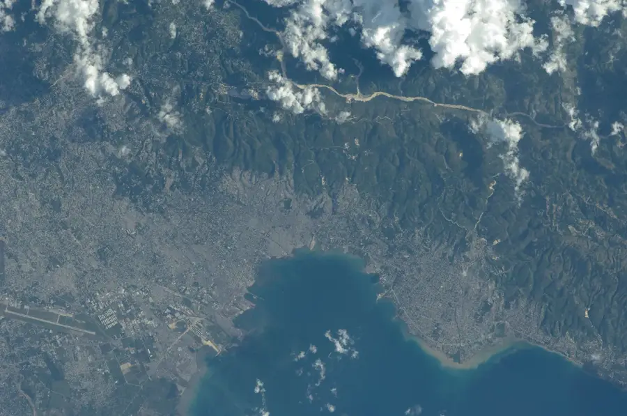
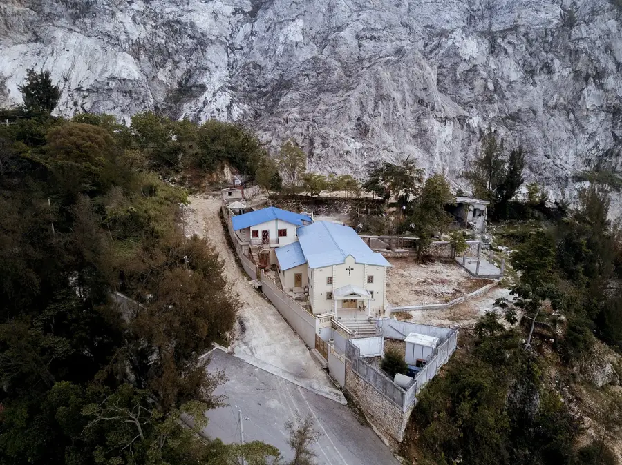
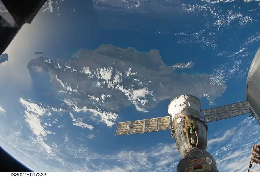
The Chaîne des Matheux is a prominent mountain range in western Haiti, stretching northwest of the capital city, Port-au-Prince. Reaching elevations of up to 1,575 meters, it acts as a natural barrier between the Gulf of Gonâve and the fertile Artibonite Valley. Geologically, the range is primarily composed of limestone, resulting in a rugged topography characterized by numerous caves and karst formations. Historically, this difficult terrain served as a strategic refuge for Maroons, enslaved people who escaped to form free communities. Today, the mountains are significant for coffee and fruit cultivation, though they face severe environmental challenges from widespread deforestation. Protecting the remaining forest cover is vital for securing the water supply of the surrounding plains and preventing further soil erosion.
- Location: Haiti
- Nearby: Jacmel (23 km)
Best time to visit & climate
The most pleasant time to visit is Jan, Feb, Dec.
| Jan | Feb | Mar | Apr | May | Jun | Jul | Aug | Sep | Oct | Nov | Dec | |
|---|---|---|---|---|---|---|---|---|---|---|---|---|
| Avg °C | 25 | 25 | 26 | 27 | 28 | 29 | 29 | 29 | 28 | 27 | 26 | 25 |
| Rain mm | 25 | 18 | 24 | 35 | 60 | 39 | 34 | 56 | 48 | 73 | 60 | 29 |
📋 Practical info
Geography
Facts
- Highest point reaches approximately 1,575 meters.
- Primarily composed of Tertiary limestone.
- Crucial water reservoir for the Artibonite Valley.
- Historical refuge for Maroon freedom fighters.
- Known for high-quality Arabica coffee cultivation.
- Suffers from over 75% forest cover loss.
Explore nearby
Notable places around
Route planner — Car & Motorhome
Where do you start? We build the route here, with stops and country notes along the way.
© OpenStreetMap contributors · OpenRouteService
Sights in the town Chaîne des Matheux (1)
Sights nearby
Frequently asked questions
How high is the Chaîne des Matheux?
Is the range suitable for hiking?
Is special equipment needed?
What is the climate like in the mountains?
Are there settlements there?
Chaîne des Matheux: where is it located?
Chaîne des Matheux: when is the best time to visit?
Chaîne des Matheux: why is it worth visiting?

More places