Plizio Visual Lab
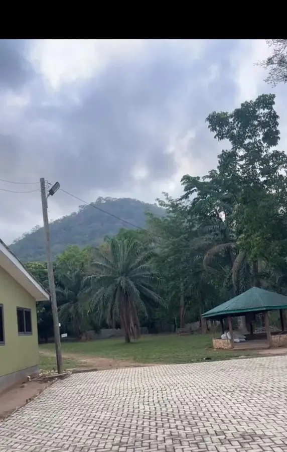
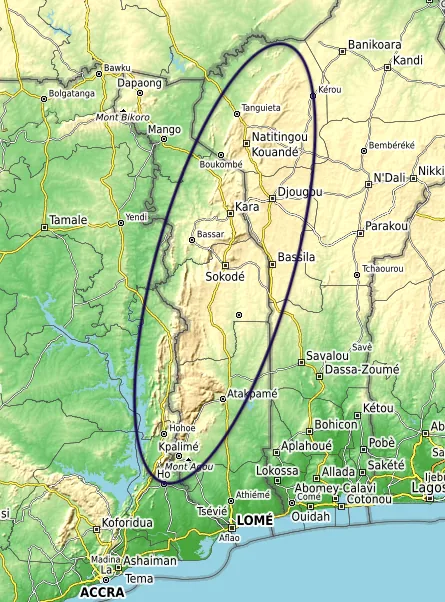
Akwapim-Togo Range
Weather…
Water temperature…
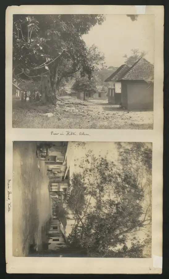
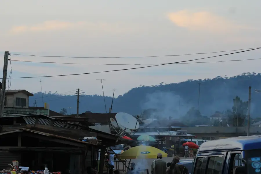
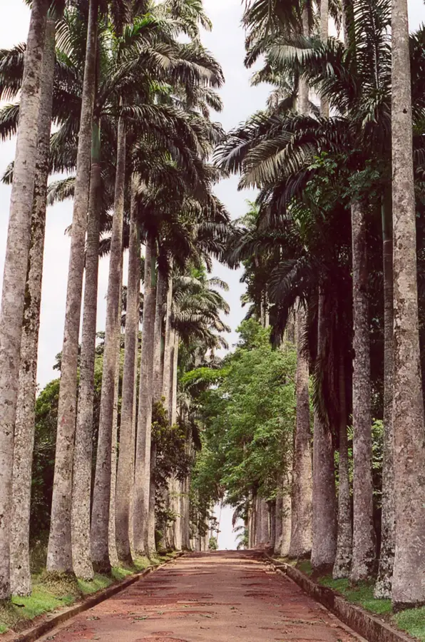
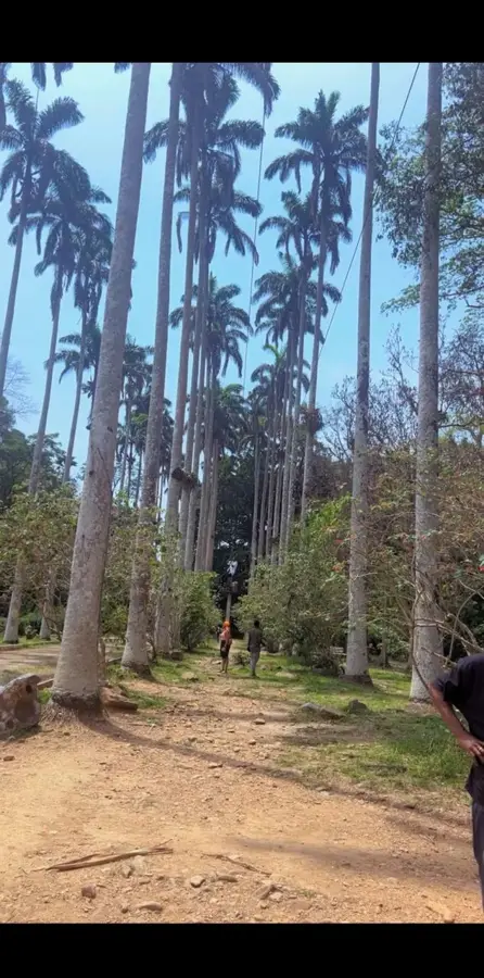
The Akwapim-Togo Range is a prominent fold mountain system that extends from the southeastern part of Ghana northeastward through Togo and into Benin. Formed during the Pan-African orogeny approximately 600 million years ago, the range consists primarily of folded Precambrian sedimentary rocks, including quartzites, schists, and sandstones. In Ghana, it begins as the Akuapem Ridge near Accra and increases in elevation as it moves into the Volta Region, containing the country's highest peaks, such as Mount Afadja. The range acts as a significant climatic barrier, intercepting moisture-bearing winds and promoting higher rainfall levels that support lush montane forests. Geographically, it defines the eastern boundary of the Volta Basin, creating a dramatic landscape of steep escarpments and deep longitudinal valleys. Historically, these highlands have been vital settlement areas for ethnic groups like the Ewe and Akwapim, who sought the cooler climates and fertile soils provided by the elevated terrain, making the region a center for cocoa and coffee cultivation in the past.
- Location: Ghana
- Top sights: Mount Adaklu · Kalakpa Game Production Reserve
- Nearby: Ho (14 km)
Best time to visit & climate
The most pleasant time to visit is Jan, Nov, Dec.
| Jan | Feb | Mar | Apr | May | Jun | Jul | Aug | Sep | Oct | Nov | Dec | |
|---|---|---|---|---|---|---|---|---|---|---|---|---|
| Avg °C | 28 | 29 | 28 | 28 | 27 | 26 | 25 | 25 | 26 | 26 | 27 | 27 |
| Rain mm | 15 | 31 | 77 | 103 | 140 | 167 | 149 | 99 | 169 | 140 | 36 | 16 |
📋 Practical info
Geography
Facts
- The range spans approximately 500 kilometers from Ghana to Benin.
- It is geologically part of the Dahomeyan system dating to the late Precambrian.
- Mount Afadja is the highest point within the Ghanaian section at 885 meters.
- The mountains are primarily composed of hard, erosion-resistant quartzites.
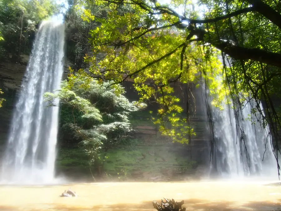
- The range hosts the Wli Waterfalls, the highest waterfalls in West Africa.
- It serves as a major watershed between the Volta River system and the Mono River.
Explore nearby
Notable places around
Route planner — Car & Motorhome
Where do you start? We build the route here, with stops and country notes along the way.
© OpenStreetMap contributors · OpenRouteService
Sights in the town Akwapim-Togo Range (2)
Sights nearby
Frequently asked questions
What characterizes the Akwapim-Togo mountains?
What activities are popular here?
What is the weather like in the mountains?
Are there known waterfalls?
What vegetation predominates?
Akwapim-Togo Range: where is it located?
Akwapim-Togo Range: what is there to see?
Akwapim-Togo Range: when is the best time to visit?
Akwapim-Togo Range: why is it worth visiting?

Nearby cities

History & landmarks
More places