Plizio Visual Lab
Mount Afadja
Weather…
Water temperature…
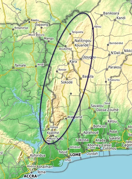
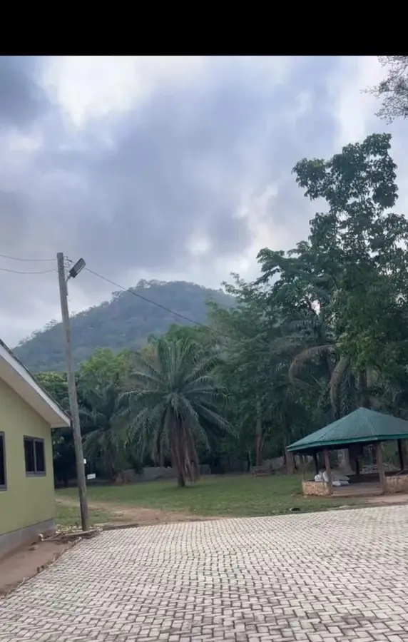
Mount Afadja, popularly known as Afadjato, is the highest mountain in Ghana, standing at an elevation of 885 meters (2,904 feet). It is located in the Volta Region, specifically in the Agumatsa Range near the villages of Liati Wote and Gbledi, close to the border with Togo. The name 'Afadjato' originates from the Ewe word 'Avadzeto,' meaning 'at war with the bush,' which refers to the dense, prickly vegetation that made the mountain difficult to climb for early settlers. The mountain is blanketed in thick tropical forest, which is part of a globally recognized biodiversity hotspot known for its vast array of butterflies and bird species. Tourism to the peak is managed by the local communities, making it a prime example of community-based ecotourism in Ghana. From the summit, hikers are rewarded with views of neighboring Togo's mountains and the distant Volta Lake. Beyond its physical height, Mount Afadja holds significant cultural value and serves as a vital ecological sanctuary within the Akwapim-Togo mountain system.
- Location: Ghana
- Nearby: Mount Afadja (13 km)
Best time to visit & climate
The most pleasant time to visit is Jan, Nov, Dec.
| Jan | Feb | Mar | Apr | May | Jun | Jul | Aug | Sep | Oct | Nov | Dec | |
|---|---|---|---|---|---|---|---|---|---|---|---|---|
| Avg °C | 26 | 28 | 27 | 27 | 26 | 25 | 24 | 24 | 25 | 25 | 26 | 26 |
| Rain mm | 14 | 28 | 72 | 100 | 134 | 172 | 190 | 139 | 202 | 145 | 32 | 14 |
📋 Practical info
Geography
Facts
- Mount Afadja stands at an official elevation of 885 meters above sea level.
- The name refers to the 'Ava' plant, which causes skin irritation upon contact.
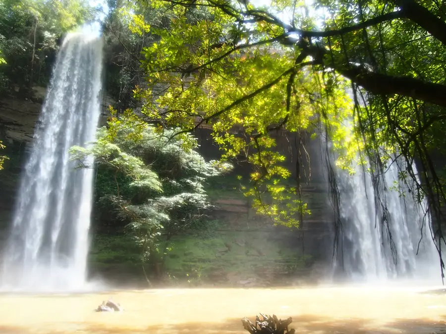
- The mountain is located very close to the famous Agumatsa (Wli) Waterfalls.
- The surrounding area is home to over 300 documented species of butterflies.
- The hike to the summit typically takes between 45 and 90 minutes for most visitors.
- It is often confused with nearby Mount Aduadu, which some claim is slightly higher.
Explore nearby
Notable places around
Route planner — Car & Motorhome
Where do you start? We build the route here, with stops and country notes along the way.
© OpenStreetMap contributors · OpenRouteService
Sights nearby
Frequently asked questions
How high is Mount Afadja?
How long does the climb take?
Where does the hike start?
What can you see from the summit?
Is a guide required?
Mount Afadja: where is it located?
Mount Afadja: when is the best time to visit?
Mount Afadja: why is it worth visiting?

Nearby cities

History & landmarks
More places