Plizio Visual Lab
Mount Agou
Weather…
Water temperature…
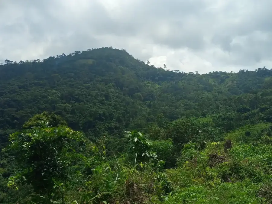
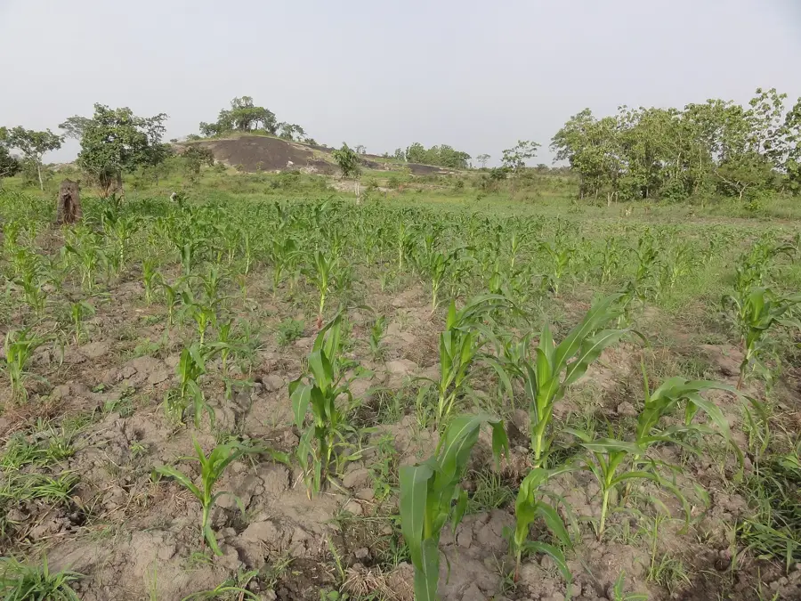
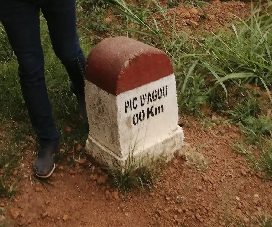
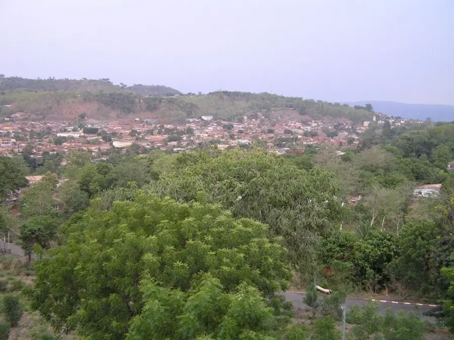
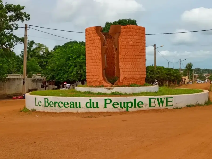
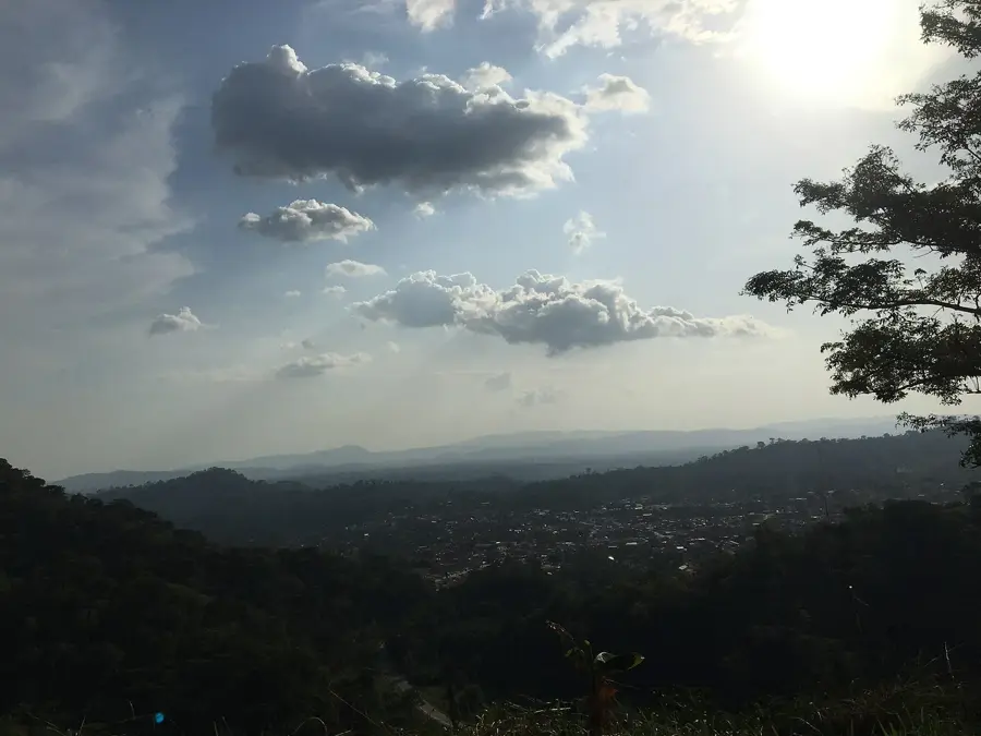
Mount Agou is the highest peak in Togo, reaching an elevation of 986 meters above sea level within the Plateaux Region near Kpalimé. It is part of the Atakora Mountain range, which stretches across Togo from Ghana into Benin. Geologically, the mountain is composed of metamorphic rocks and is characterized by its steep, forested slopes and fertile soil. During the German colonial era, the peak was officially known as Mount Baumann, a name that appeared on European maps of the time. The mountain's microclimate receives high rainfall, making it a primary zone for the cultivation of coffee and cocoa on terraced plantations. The summit currently hosts critical telecommunications infrastructure, including radio and television transmitters that serve much of southern Togo. The indigenous Ewe people inhabit the mountain's slopes in small agricultural communities, maintaining traditional land-use practices. On clear days, the summit features panoramic views extending as far as Lake Volta in neighboring Ghana.
- Location: Togo
- Nearby: Agou (6 km)
Best time to visit & climate
The most pleasant time to visit is Jan, Nov, Dec.
| Jan | Feb | Mar | Apr | May | Jun | Jul | Aug | Sep | Oct | Nov | Dec | |
|---|---|---|---|---|---|---|---|---|---|---|---|---|
| Avg °C | 27 | 28 | 28 | 28 | 27 | 26 | 25 | 25 | 25 | 26 | 26 | 26 |
| Rain mm | 15 | 30 | 72 | 104 | 143 | 177 | 189 | 145 | 214 | 149 | 32 | 14 |
📋 Practical info
Geography
Facts
- Mount Agou stands at an official elevation of 986 meters (3,235 feet).
- It was named Mount Baumann during the period of German administration.
- The mountain is the highest point of the Atakora Range in Togo.
- It is a major agricultural hub for shade-grown coffee and cocoa production.
- The summit is utilized for national telecommunications and broadcasting.
- The mountain is located approximately 100 kilometers northwest of Lomé.
Explore nearby
Notable places around
Route planner — Car & Motorhome
Where do you start? We build the route here, with stops and country notes along the way.
© OpenStreetMap contributors · OpenRouteService
Sights in the town Mount Agou (1)
Sights nearby
Frequently asked questions
How difficult is the hike up Mount Agou?
When is the best season for Mount Agou?
Is there parking available at the mountain?
Do I need to pay an entrance fee?
Are there food facilities at Mount Agou?
Mount Agou: where is it located?
Mount Agou: when is the best time to visit?
Mount Agou: why is it worth visiting?

Nearby cities


History & landmarks
Nature
More places