Plizio Visual Lab
Vogelsberg
Weather…
Water temperature…
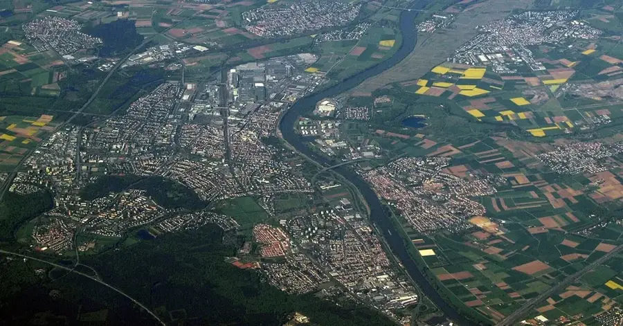
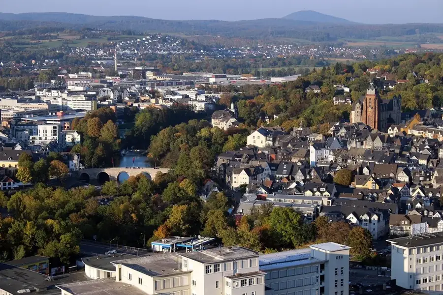
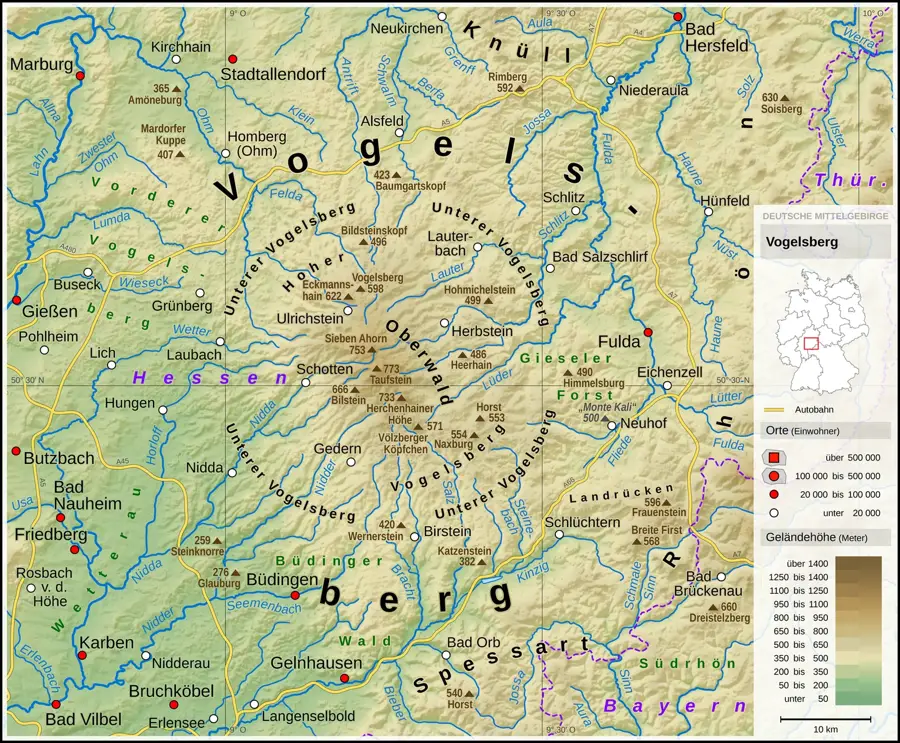
The Vogelsberg in Central Hesse is the largest contiguous basalt massif in Central Europe and an extinct volcano that was active approximately 15 to 17 million years ago. Covering an area of about 2,500 square kilometers, it is composed of numerous overlapping lava flows that form a shield volcano-like structure. The highest peak is the Taufstein at 773 meters, followed by the Hoherodskopf, which serves as a recreational hub with viewpoints and leisure facilities. Geologically, the region is characterized by fertile weathered soils and numerous basalt formations, including block fields and cliffs. The Vogelsberg is a vital water reservoir for the Rhine-Main metropolitan area, as it is the source of rivers such as the Nidda, Wetter, and Schwalm. Since 1958, the core area has been protected as the Vogelsberg Volcanic Region Nature Park to preserve its characteristic cultural landscape of meadows, hedgerows, and forests. The climate in the High Vogelsberg is significantly cooler and wetter than the surrounding lowlands, supporting specific flora and fauna.
- Location: Hesse, Germany
- Top sights: Blockfelder am Taufstein · Bonifatiusborn · Taufstein
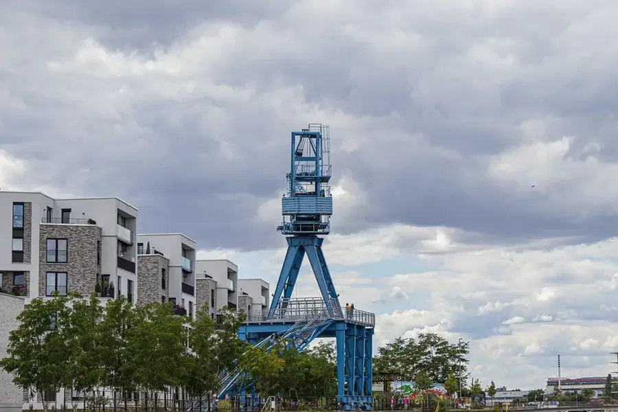
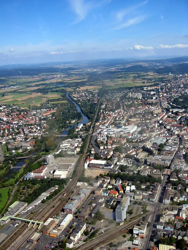
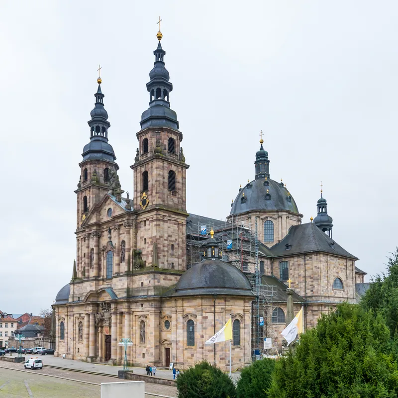
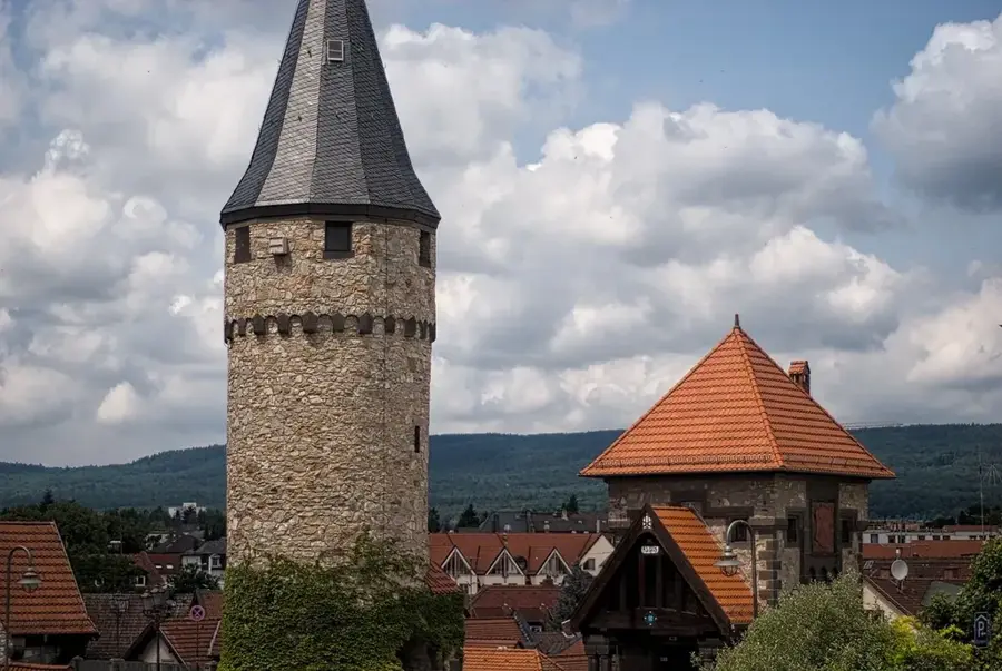
- Nearby: Schotten (10 km)
Best time to visit & climate
The most pleasant time to visit is Jun–Aug.
| Jan | Feb | Mar | Apr | May | Jun | Jul | Aug | Sep | Oct | Nov | Dec | |
|---|---|---|---|---|---|---|---|---|---|---|---|---|
| Avg °C | -1 | 0 | 3 | 8 | 12 | 16 | 18 | 18 | 14 | 9 | 4 | 0 |
| Rain mm | 74 | 57 | 58 | 46 | 79 | 67 | 80 | 71 | 56 | 62 | 69 | 78 |
📋 Practical info
Geography
Facts
- The Vogelsberg is the largest volcano in Europe by surface area.
- The highest elevation is the Taufstein with a height of 773 meters.
- The nature park was established in 1958 as one of the first in Germany.
- The basalt massif was formed during the Miocene about 15 million years ago.
- The Hoherodskopf is the second highest mountain in the region at 764 meters.
- The basalt layers reach a thickness of up to 300 meters in the center.
Explore nearby
Notable places around
Route planner — Car & Motorhome
Where do you start? We build the route here, with stops and country notes along the way.
© OpenStreetMap contributors · OpenRouteService
Sights in the town Vogelsberg (10)
Taufstein
Taufstein is a mountain in the Vogelsberg.
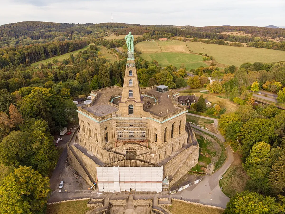
Bismarckturm Schotten
Bismarckturm Schotten is an observation tower on a mountain.
Moordblick
Moordblick is a viewpoint in the Vogelsberg.
Hoherodskopf
Hoherodskopf is a mountain in the Vogelsberg.
Sendeturm Hoherodskopf🗼 tower
Sendeturm Hoherodskopf is a transmission tower on the mountain.
In der Breungeshainer Heide
In der Breungeshainer Heide is a nature reserve.
Geiselstein
Geiselstein is a peak in the Vogelsberg.
Sommerrodelbahn Hoherodskopf
Sommerrodelbahn Hoherodskopf is a summer toboggan run on the mountain.
Sights nearby
Frequently asked questions
Is the Vogelsberg a volcano?
What is the Hoherodskopf?
Is it good for cycling?
Is there snow in winter?
Where can I learn more about the geology?
Vogelsberg: where is it located?
Vogelsberg: what is there to see?
Vogelsberg: when is the best time to visit?
Vogelsberg: why is it worth visiting?

Nearby cities