Plizio Visual Lab
Havel (Brandenburg)
Weather…
Water temperature…
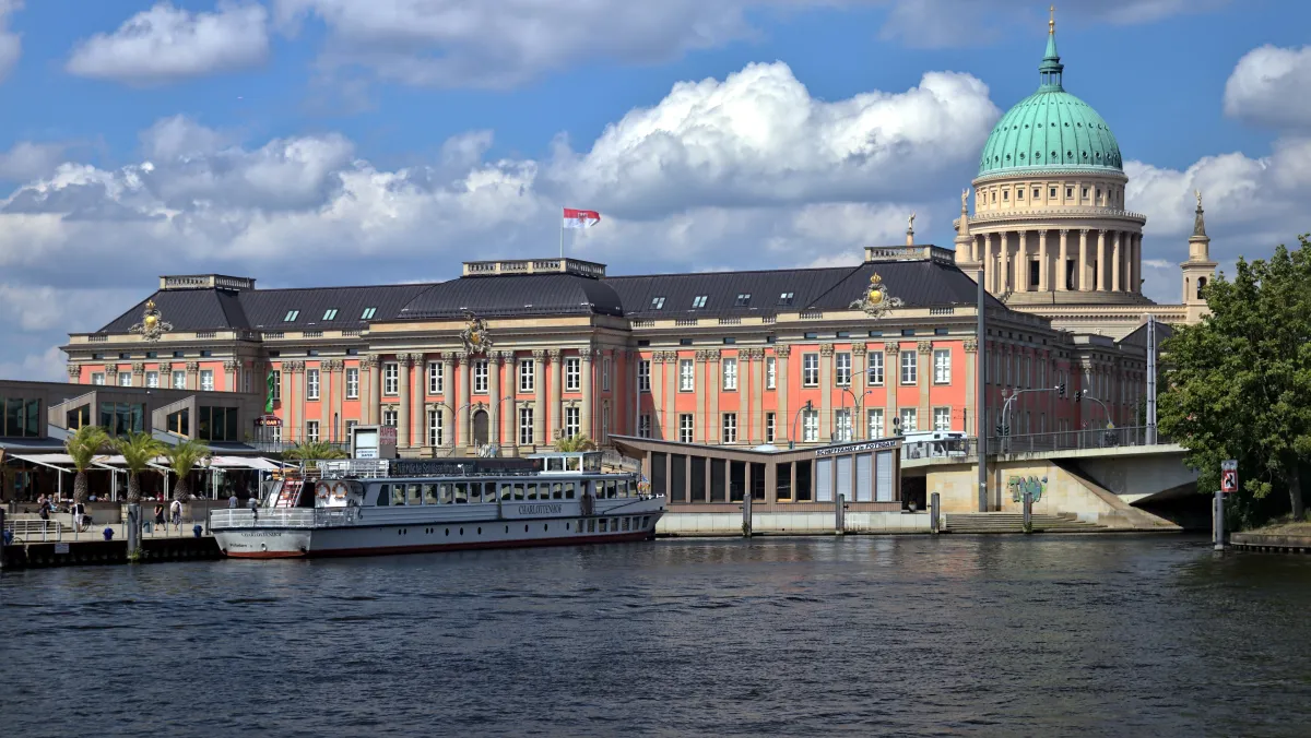
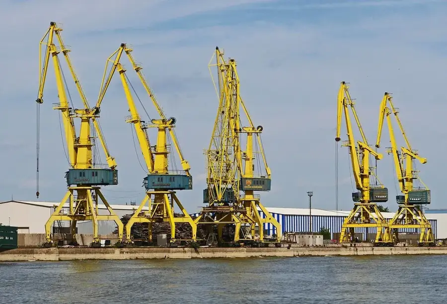
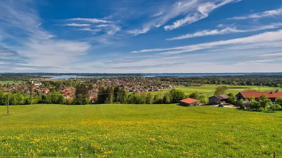
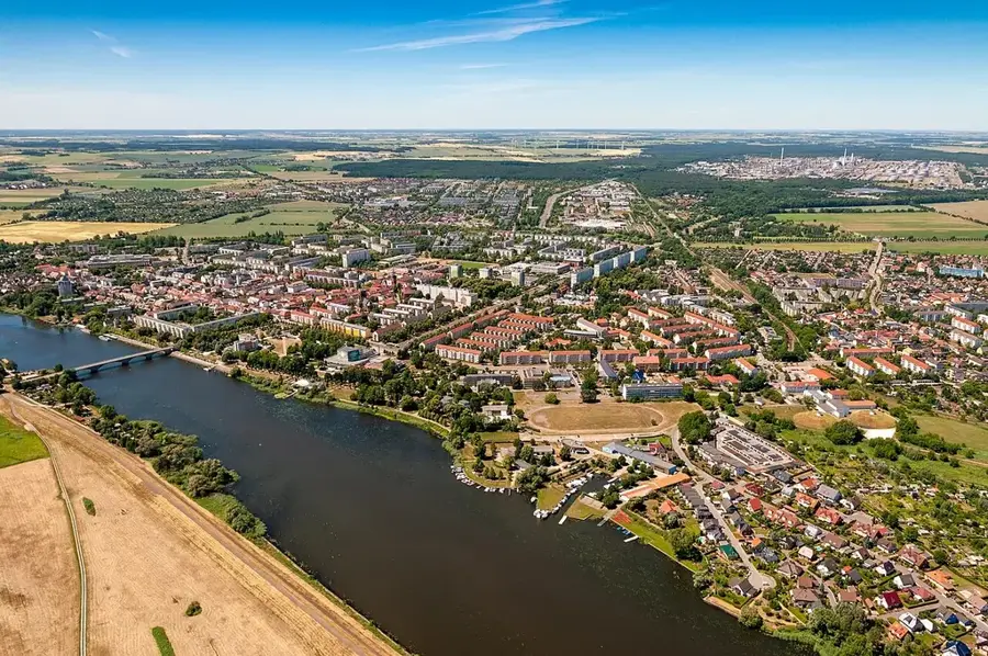
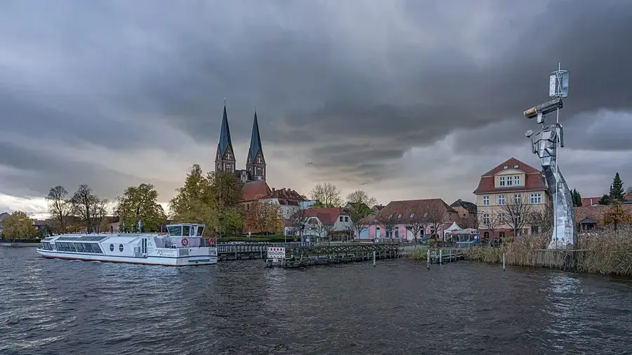
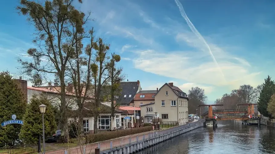
The Havel is one of the most important tributaries of the Elbe, stretching 334 kilometers and flowing mostly through Brandenburg. A distinctive feature of the Havel is its extremely low gradient, causing the river to frequently widen into lake-like expanses and form chains of lakes, notably near Potsdam and Brandenburg an der Havel. Originating in Mecklenburg-Vorpommern, the river traverses the region in a wide arc, nourishing numerous ecologically valuable floodplains. As a federal waterway, the Havel is of great economic significance for inland shipping between Berlin and the Elbe. The river landscape is also part of the UNESCO World Heritage site 'Palaces and Parks of Potsdam and Berlin,' providing the setting for historical landscape gardening. In its lower reaches near Rathenow, one of Europe's largest river renaturation projects was launched to restore the waterway's natural dynamics.
- Location: Brandenburg, Germany
- Top sights: Hasselberg · Burgwall Hohennauen-Witzke · Sternenpark Beobachtungsplatz
- Nearby: Premnitz (21 km)
Best time to visit & climate
The most pleasant time to visit is Jun–Aug.
| Jan | Feb | Mar | Apr | May | Jun | Jul | Aug | Sep | Oct | Nov | Dec | |
|---|---|---|---|---|---|---|---|---|---|---|---|---|
| Avg °C | 0 | 1 | 4 | 9 | 14 | 18 | 20 | 20 | 15 | 10 | 5 | 1 |
| Rain mm | 56 | 39 | 41 | 29 | 53 | 56 | 82 | 60 | 50 | 49 | 49 | 50 |
📋 Practical info
Geography
Facts
- Total length of 334 km, with an elevation drop of only 40 meters from source to mouth.
- Originates near Ankershagen in Mecklenburg-Vorpommern.
- Empties into the Elbe river at Havelberg.
- Flows through Brandenburg's largest nature park, Westhavelland.
- The primary tributary is the Spree river in Berlin-Spandau.
- The Lower Havel Valley is the most significant inland delta in Central Europe.
Explore nearby
Notable places around
Route planner — Car & Motorhome
Where do you start? We build the route here, with stops and country notes along the way.
© OpenStreetMap contributors · OpenRouteService
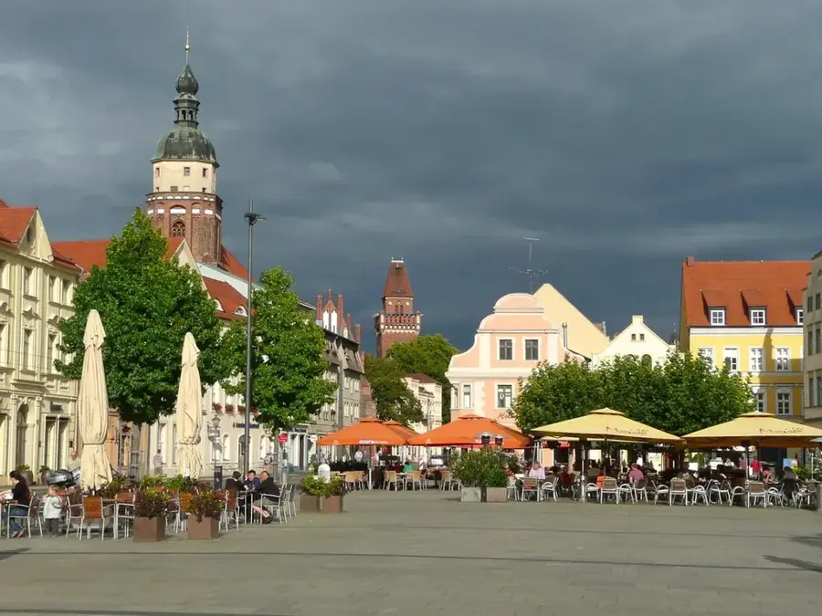
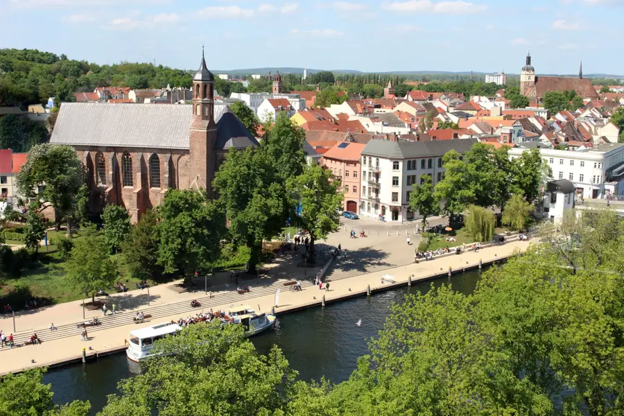
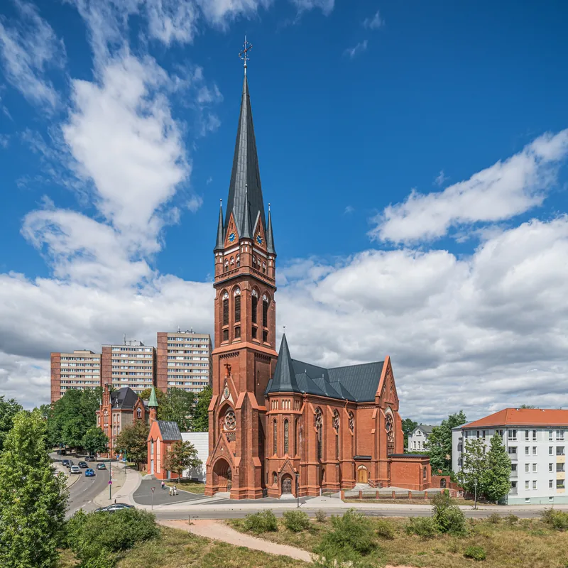
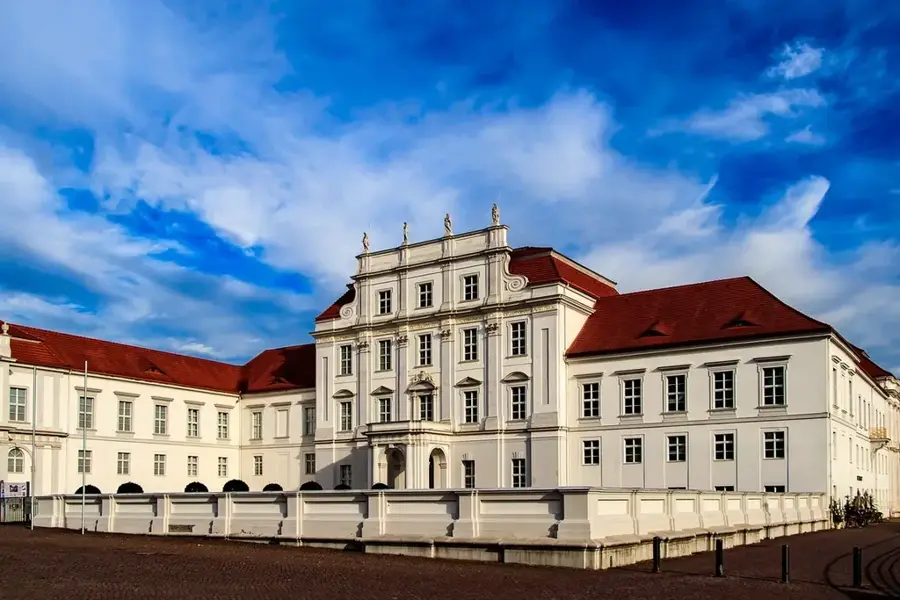
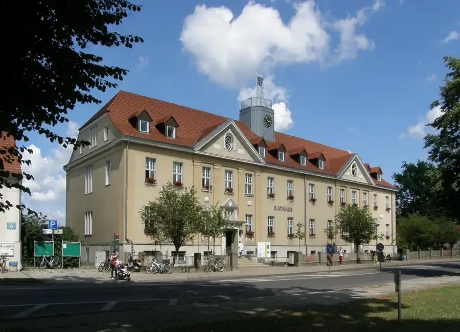
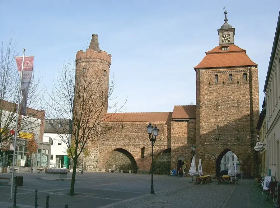
Sights in the town Havel (Brandenburg) (4)
Sights nearby
Frequently asked questions
Which towns are located on the Havel in Brandenburg?
Is the Havel navigable?
What is special about the Westhavelland Nature Park?
Can you swim in the Havel?
Does the Havel flow into the Elbe?
Havel (Brandenburg): where is it located?
Havel (Brandenburg): what is there to see?
Havel (Brandenburg): when is the best time to visit?
Havel (Brandenburg): why is it worth visiting?

Nearby cities