Plizio Visual Lab
Havel (Brandenburg)
Hava durumu…
Su sıcaklığı…
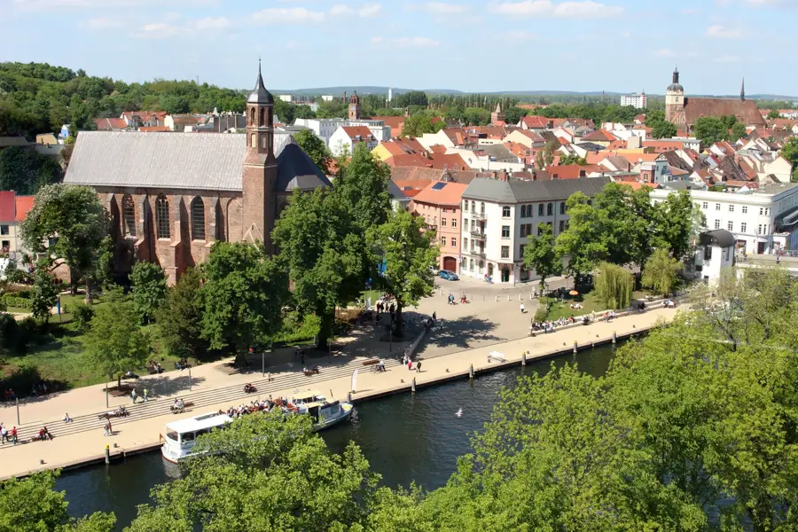
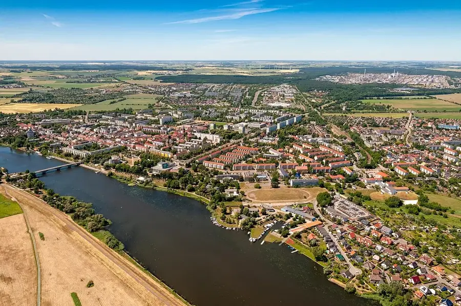
334 kilometre uzunluğundaki Havel, Elbe'nin en önemli kollarından biridir ve çoğunlukla Brandenburg'dan geçer. Havel'in bir özelliği, son derece düşük eğimidir; bu da nehrin sık sık göl gibi genişlemesine ve örneğin Potsdam ve Brandenburg an der Havel yakınlarında bir göller zinciri oluşturmasına neden olur. Nehir, Mecklenburg-Vorpommern'den doğar ve bölgeyi geniş bir yay çizerek geçer, bu sırada ekolojik açıdan değerli çok sayıda taşkın yatağını sular. Bir federal su yolu olarak Havel, Berlin ve Elbe arasındaki iç hat taşımacılığı için yüksek ekonomik öneme sahiptir. Nehir manzarası ayrıca, tarihi bahçe sanatına çerçeve oluşturduğu için UNESCO Dünya Mirası 'Schlösser und Parks von Potsdam und Berlin'in bir parçasıdır. Rathenow yakınlarındaki aşağı kesimde, suyun doğal dinamiklerini geri kazandırmak amacıyla Avrupa'nın en büyük nehir restorasyon projelerinden biri başlatılmıştır.
Haritada keşfet
Almanya hakkında ne kadar bilgilisin?
Etkileşimli haritada 10 çeşitli zorlukta şehirleri, manzaraları ve bölgeleri bul.
Seyahatin, senin anın
Havel (Brandenburg)’den bir kartpostal
Kendi fotoğrafını yerel posta puluyla kişisel bir kartpostala çevir. Ücretsiz ve kayıt gerektirmez.
Kartpostal oluştur- Konum: Brandenburg, Almanya
- Öne çıkanlar: Hasselberg · Burgwall Hohennauen-Witzke · Sternenpark Beobachtungsplatz
- Yakınlar: Premnitz (21 km)
En iyi ziyaret zamanı & iklim
En keyifli dönem: Haz–Ağu.
| Oca | Şub | Mar | Nis | May | Haz | Tem | Ağu | Eyl | Eki | Kas | Ara | |
|---|---|---|---|---|---|---|---|---|---|---|---|---|
| Ort. °C | 0 | 1 | 4 | 9 | 14 | 18 | 20 | 20 | 15 | 10 | 5 | 1 |
| Yağmur mm | 56 | 39 | 41 | 29 | 53 | 56 | 82 | 60 | 50 | 49 | 49 | 50 |
📋 Pratik bilgiler
Coğrafya
Gerçekler
- Toplam uzunluğu 334 km olup kaynağından döküldüğü yere kadar olan yükseklik farkı sadece 40 metredir.
- Mecklenburg-Vorpommern'de Ankershagen yakınlarındaki Diekenbruch'tan doğar.
- Havelberg yakınlarında Elbe'ye dökülür.
- Brandenburg'un en büyük milli parkı olan Naturpark Westhavelland'dan geçer.
- En önemli kolu Berlin-Spandau'daki Spree'dir.
- Untere Havelbeck, Orta Avrupa'nın en önemli iç deltasıdır.
Yakınları keşfet
Çevredeki dikkat çekici yerler

Rota planlayıcı — Araba & Karavan
Nereden başlıyorsunuz? Burada rota oluşturuyoruz, yol boyunca duraklar ve ülke notları ile.
© OpenStreetMap contributors · OpenRouteService
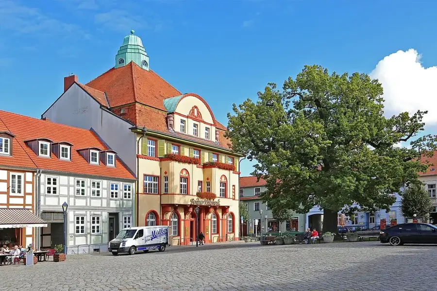
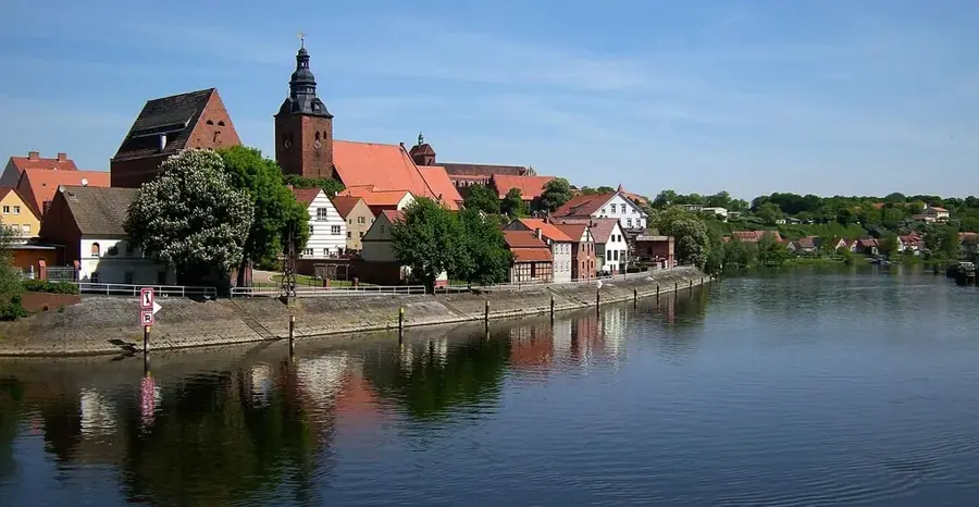
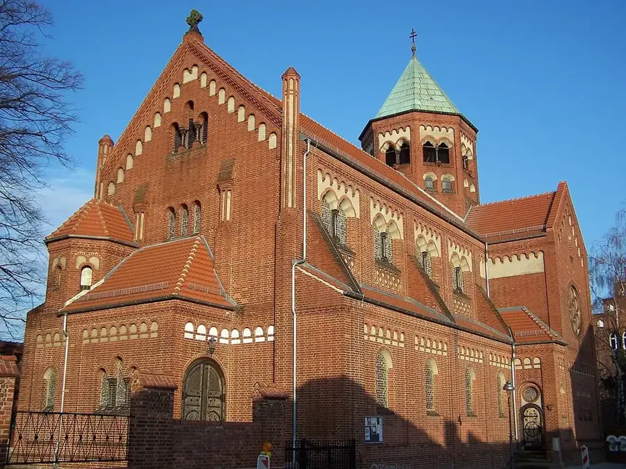
Kasabadaki görülecek yerler Havel (Brandenburg) (4)
Çevredeki gezilecek yerler
Sıkça sorulan sorular
Brandenburg'da Havel üzerinde hangi kasabalar bulunur?
Havel navigasyona uygun mu?
Westhavelland Doğa Parkı'nın özelliği nedir?
Havel'de yüzülebilir mi?
Havel Elbe'ye akar mı?
Havel (Brandenburg): nerede yer alıyor?
Havel (Brandenburg): gezilecek yerler neler?
Havel (Brandenburg): en iyi ziyaret zamanı ne zaman?
Havel (Brandenburg): neden ziyaret edilmeye değer?

Yakındaki şehirler