Plizio Visual Lab
Großer Arber
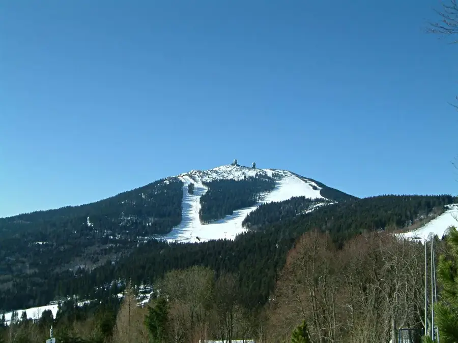
The Großer Arber, rising to 1,456 meters, is the highest mountain in the Bavarian Forest and the Bohemian Forest, often referred to as the 'King of the Bavarian Forest.' Located in eastern Bavaria near the Czech border, it is distinguished by its characteristic summit region featuring two prominent radar domes. These facilities served as air surveillance posts for Warsaw Pact airspace during the Cold War and remain operational today. The summit zone consists of gneiss and provides a habitat for rare flora and fauna, including the endangered capercaillie. As a significant winter sports center, the mountain regularly hosts Alpine Ski World Cup races. In summer, the Arber massif, including the Großer and Kleiner Arbersee lakes, is a favorite hiking destination. The Arber cable car provides easy access to the summit plateau, offering vast views across the mountain ranges.
- Location: Bavaria, Germany
- Top sights: Großer Arbersee und Arberseewand · Riesloch · Kleiner Arbersee
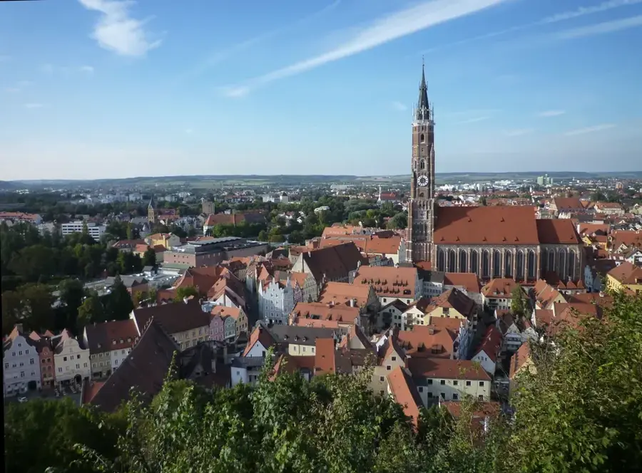
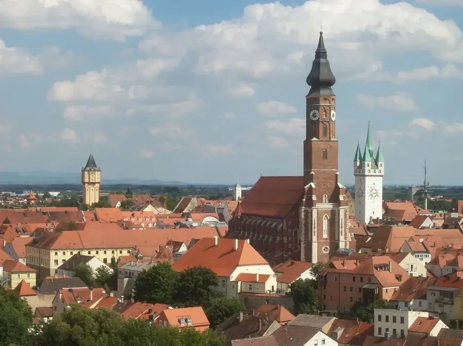
- Nearby: Zwiesel (13 km)
Best time to visit & climate
The most pleasant time to visit is Jun–Aug.
| Jan | Feb | Mar | Apr | May | Jun | Jul | Aug | Sep | Oct | Nov | Dec | |
|---|---|---|---|---|---|---|---|---|---|---|---|---|
| Avg °C | -3 | -2 | 3 | 8 | 12 | 16 | 18 | 18 | 13 | 8 | 3 | -1 |
| Rain mm | 78 | 58 | 64 | 49 | 89 | 99 | 97 | 100 | 68 | 64 | 63 | 73 |
📋 Practical info
Geography
Facts
- Geologically, the Großer Arber is part of the Moldanubian basement.
- The ski resort features Germany's most modern 6-person chairlift.
- Two of the four radar domes belong to the German Air Force (Luftwaffe).
- Lake Großer Arbersee at the base is an Ice Age cirque lake with floating islands.
- An annual mountain mass is held in the Arber Chapel on the summit every August.
- The mountain lies exactly on the border between the districts of Regen and Cham.
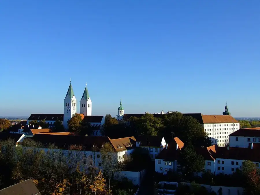
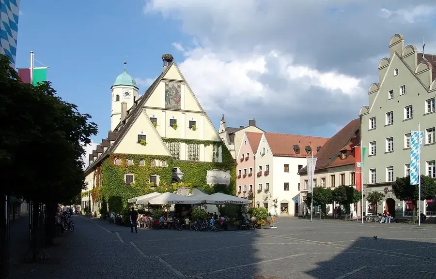
Explore nearby
Notable places around
Route planner — Car & Motorhome
Where do you start? We build the route here, with stops and country notes along the way.
© OpenStreetMap contributors · OpenRouteService
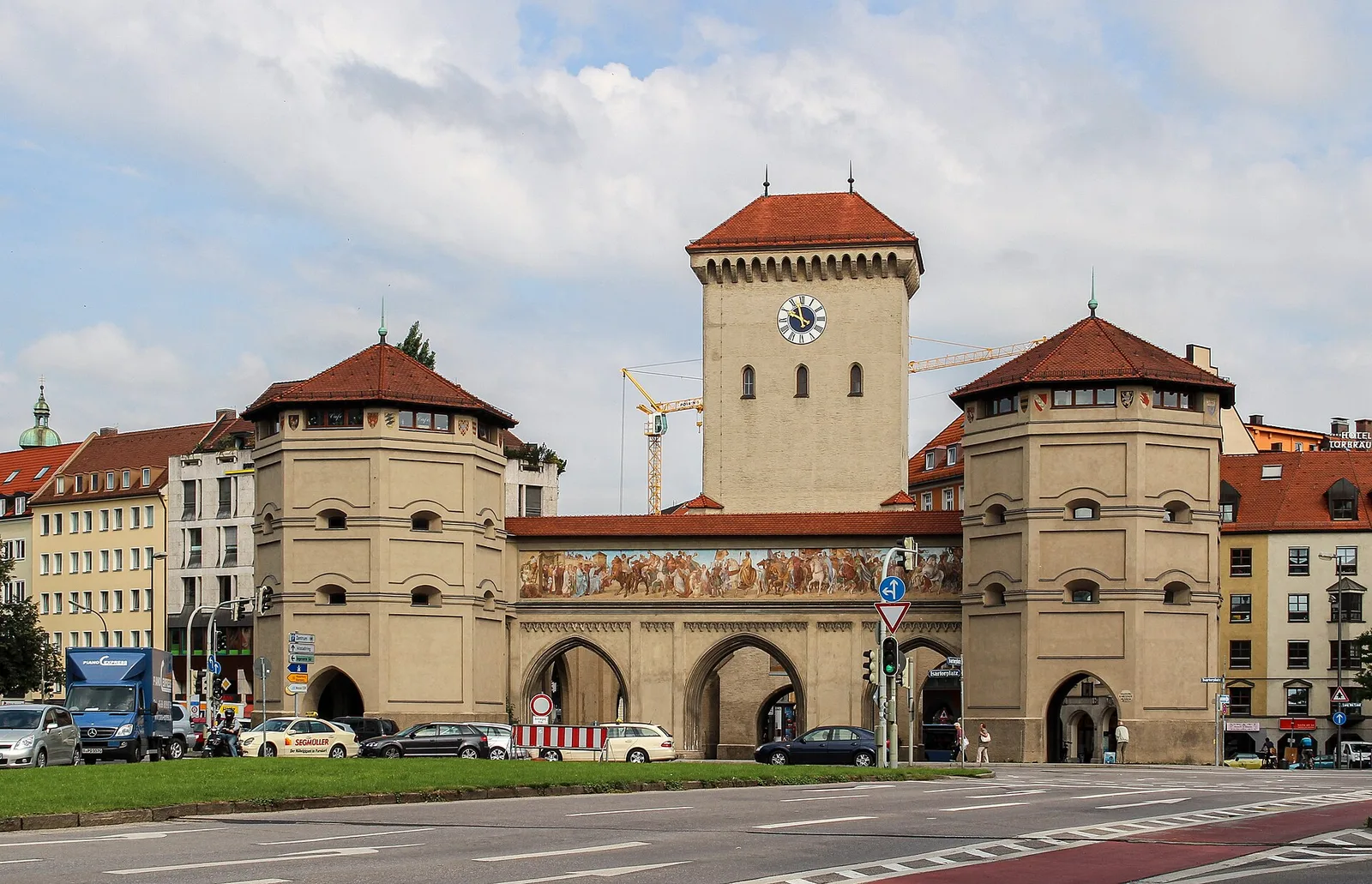
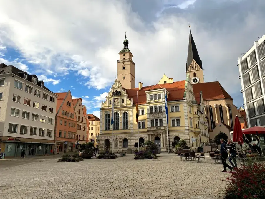
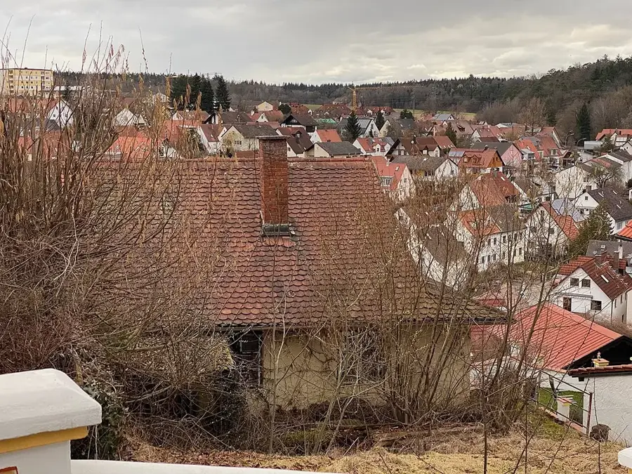
Sights in the town Großer Arber (6)
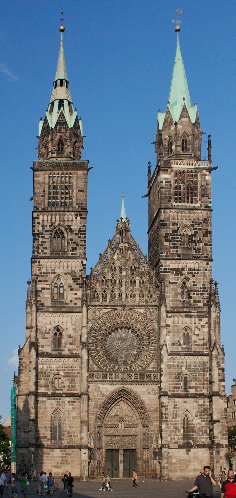
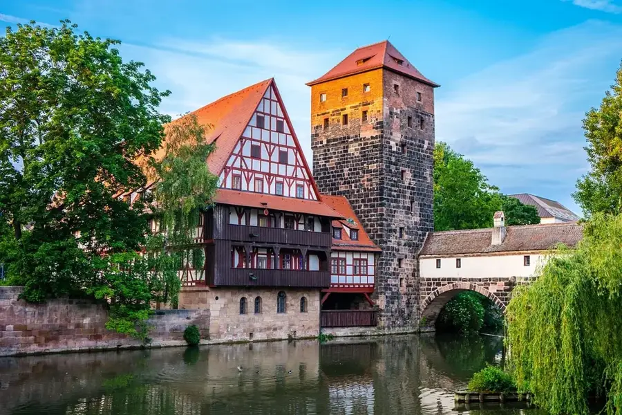
Sights nearby
Frequently asked questions
In which mountain range is the Großer Arber?
Why is it called the 'King of the Bavarian Forest'?
Are World Cup races held there?
What are 'Arber-Mandl'?
How do you get to the summit?
Großer Arber: where is it located?
Großer Arber: what is there to see?
Großer Arber: when is the best time to visit?
Großer Arber: why is it worth visiting?

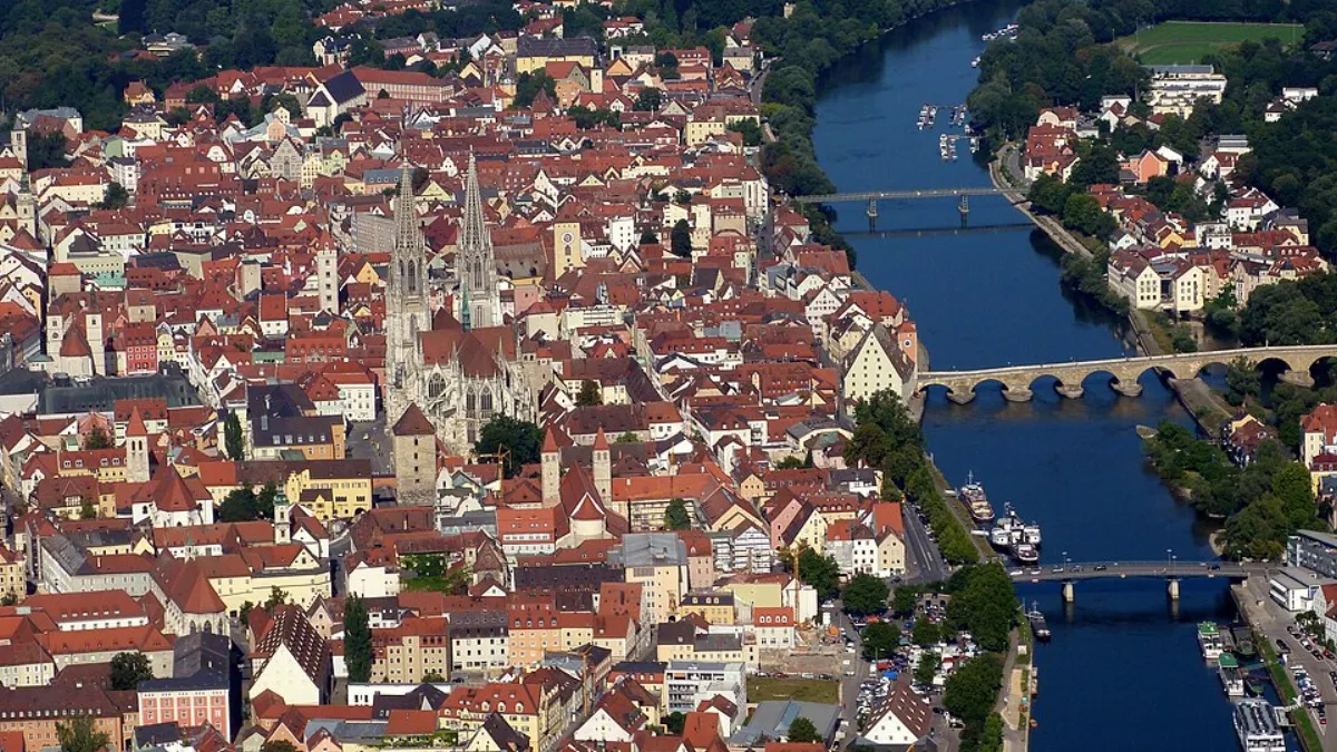
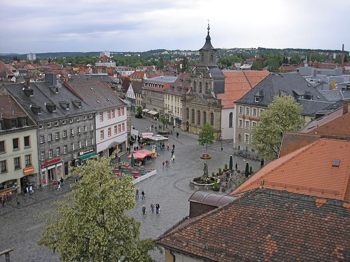
Nearby cities