Plizio Visual Lab
Bayerischer Wald
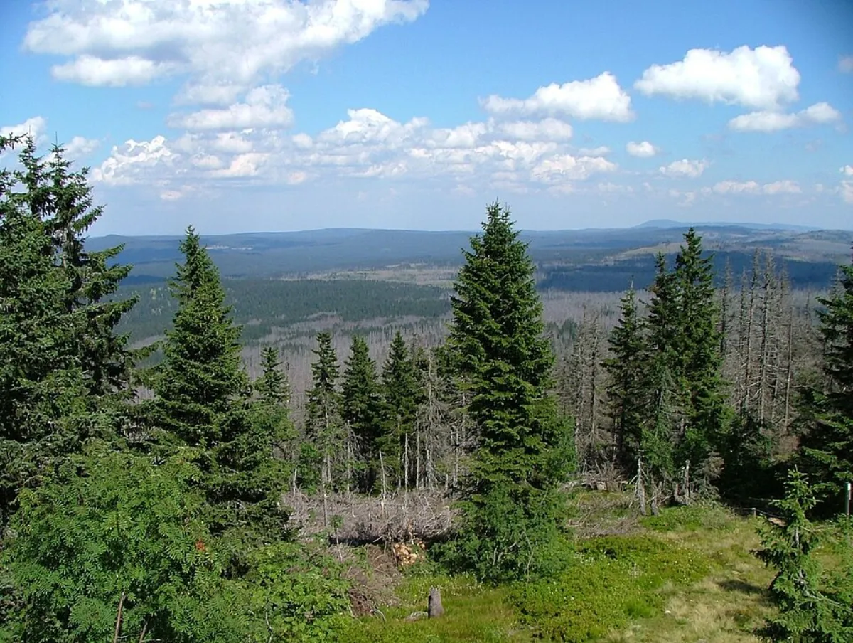
The Bavarian Forest stretches along the border between Germany and the Czech Republic and, together with the adjacent Bohemian Forest, forms the largest contiguous forest area in Central Europe. Located in eastern Bavaria, it covers an area of approximately 2,000 square kilometers and reaches its highest peak at the Großer Arber, at 1,456 meters. In 1970, Germany's first national park was established here, which today serves as a core zone for protecting untouched natural processes. Geologically, the region is dominated by crystalline basement rocks consisting of granite and gneiss. Its economic history is closely tied to glass production, which has been practiced along the famous Glass Road since the Middle Ages. The flora and fauna are characterized by rare species such as the lynx, the otter, and the peregrine falcon. The region's harsh climate is often referred to as 'Bavarian Siberia,' highlighting the significance of forestry and winter tourism. Today, the area is a major recreational hub for hikers and nature enthusiasts.
- Location: Bavaria, Germany
- Top sights: Museumsschlösschen Theresienthal · Holzkapelle · Bauernhausmuseum Lindberg
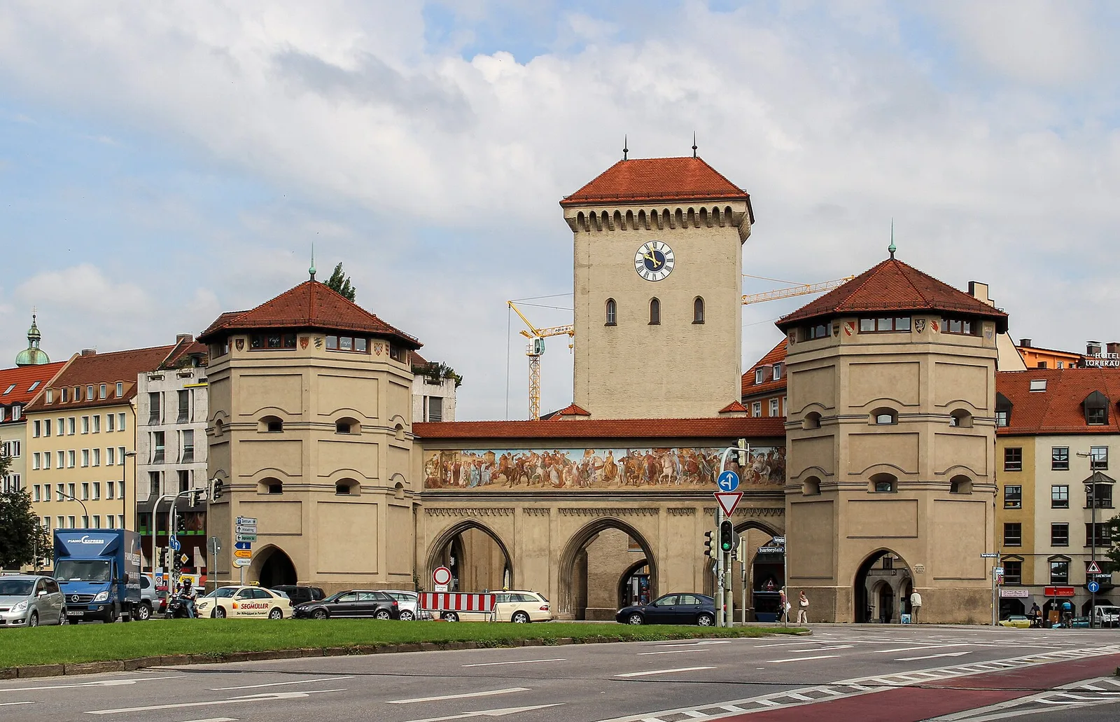
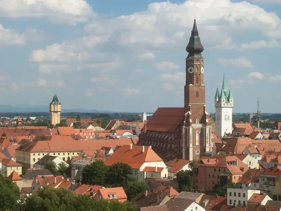
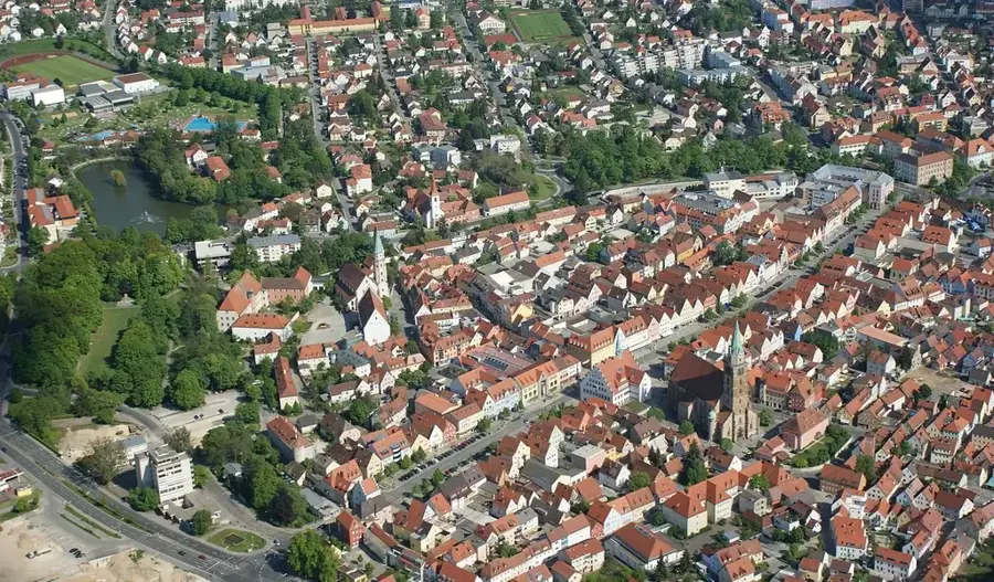
- Nearby: Regen (11 km)
Best time to visit & climate
The most pleasant time to visit is Jun–Aug.
| Jan | Feb | Mar | Apr | May | Jun | Jul | Aug | Sep | Oct | Nov | Dec | |
|---|---|---|---|---|---|---|---|---|---|---|---|---|
| Avg °C | -3 | -2 | 3 | 8 | 12 | 16 | 18 | 18 | 13 | 8 | 3 | -1 |
| Rain mm | 78 | 58 | 64 | 49 | 89 | 99 | 97 | 100 | 68 | 64 | 63 | 73 |
📋 Practical info
Geography
Facts
- Germany's first national park, established on October 7, 1970.
- Großer Arber is the highest mountain in the region at 1,456 meters.
- Forms Central Europe's largest forest area with the Bohemian Forest.
- The regional Glass Road is approximately 250 kilometers long.
- The reintroduction of the lynx was successfully achieved in the 1980s.
- The world's longest treetop walk is located in Neuschönau.
Explore nearby
Notable places around
Route planner — Car & Motorhome
Where do you start? We build the route here, with stops and country notes along the way.
© OpenStreetMap contributors · OpenRouteService
Sights in the town Bayerischer Wald (10)
Bauernhausmuseum Lindberg🏛 museum
Open-air museum in Lindberg.
Erholungsbad
Recreation pool in the Bavarian Forest.
Maria Namen
Church in the Bavarian Forest.
Kreuzkirche
Cultural heritage monument D-2-76-148-6 (0) in Zwiesel, Bavaria.
Glasmacherkapelle
Building in Zwiesel, Lower Bavaria, Germany.
Waldmuseum🏛 museum
Museum in Germany.
Langlaufzentrum
Attraction in the Bavarian Forest.
Kristallglaspyramide
Attraction in the Bavarian Forest.
Sights nearby
Frequently asked questions
What is special about the Bavarian Forest National Park?
Where is the treetop walk located?
Which animals can be seen in the animal enclosures?
What is the Glass Route?
What is the highest mountain in the Bavarian Forest?
Bayerischer Wald: where is it located?
Bayerischer Wald: what is there to see?
Bayerischer Wald: when is the best time to visit?
Bayerischer Wald: why is it worth visiting?

Nearby cities