Schloss Amerang🏰 castle
A Renaissance castle in the Chiemgau region, famous for its courtyard concerts.
🌐 schlossamerang.de🕒 closed "geöffnet nur für Veranstaltungen "
Plizio Visual Lab
Weather…
Water temperature…
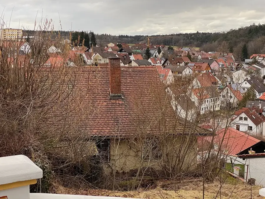
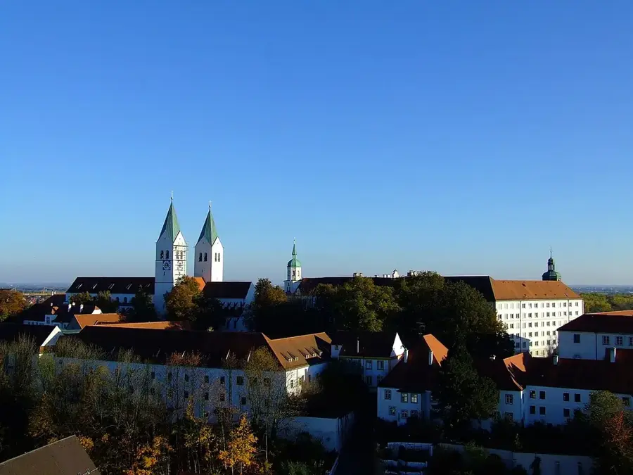
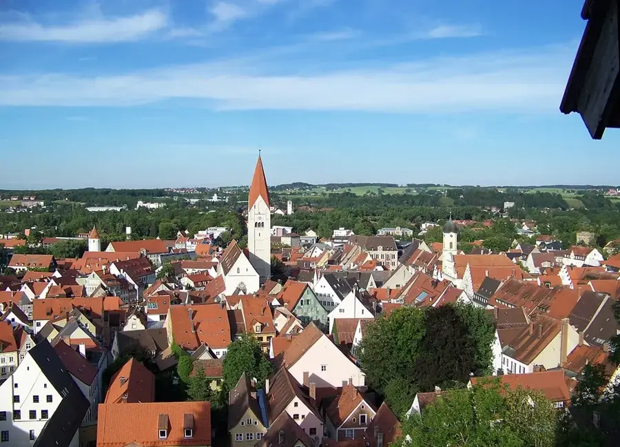
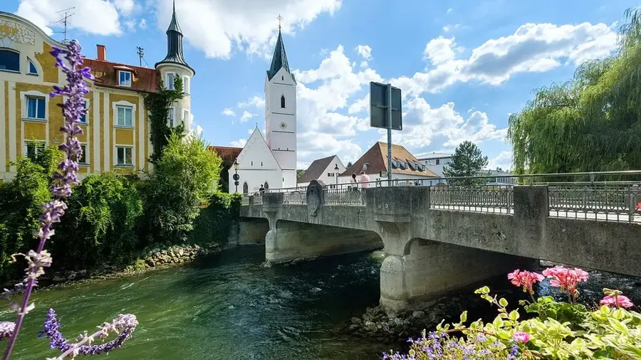
The Bavarian Alpine Foreland extends as a vast plateau between the Danube River to the north and the edge of the Alps to the south. The landscape was significantly shaped by ice masses during the Pleistocene glaciations, which left behind moraine ridges, gravel plains, and deep lake basins upon their retreat. Characteristically, the region features numerous large lakes such as Chiemsee, Lake Starnberg, and Ammersee, which originated as glacial tongue basins. Elevation varies from 400 meters at the Danube to over 800 meters at the Alpine fringe. Economically, the region is defined by a mix of productive agriculture, especially dairy farming, and major industrial centers like Munich. The Foreland also serves as an important recreational area and is renowned for its baroque monastery architecture and traditional Bavarian villages. Climatically, the area is often influenced by the Foehn wind, which provides warm downslope winds and exceptionally clear views of the Alpine range.
The most pleasant time to visit is Jun–Aug.
| Jan | Feb | Mar | Apr | May | Jun | Jul | Aug | Sep | Oct | Nov | Dec | |
|---|---|---|---|---|---|---|---|---|---|---|---|---|
| Avg °C | -2 | -1 | 4 | 9 | 13 | 17 | 18 | 18 | 14 | 9 | 4 | 0 |
| Rain mm | 82 | 65 | 77 | 71 | 129 | 150 | 141 | 147 | 102 | 83 | 64 | 71 |
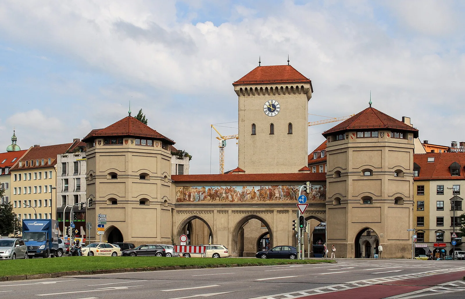
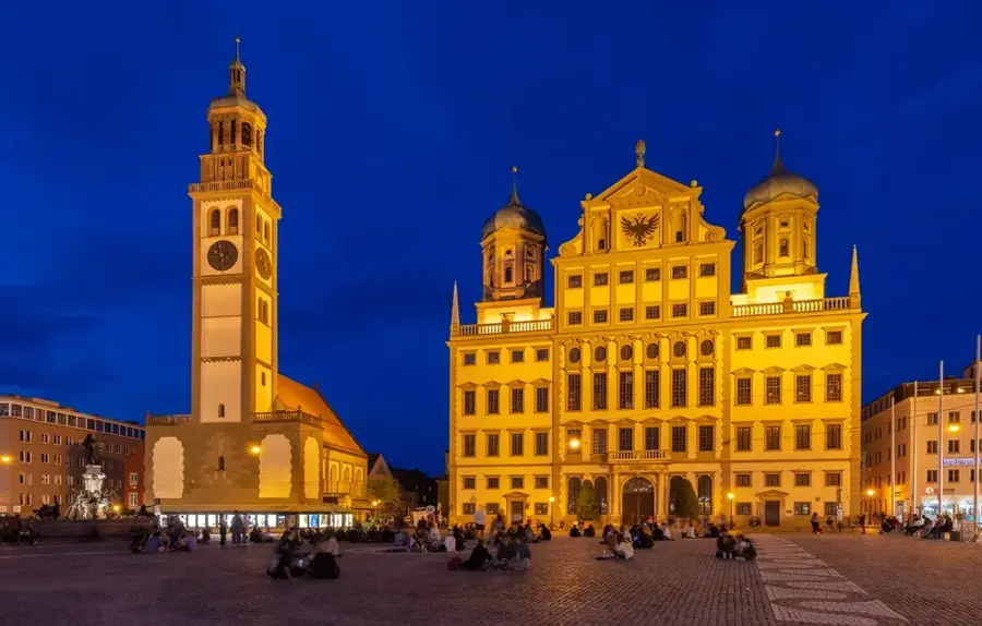
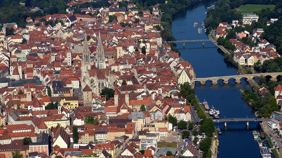
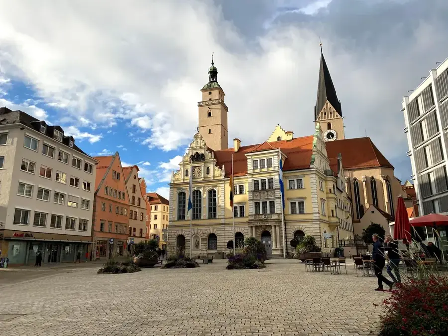
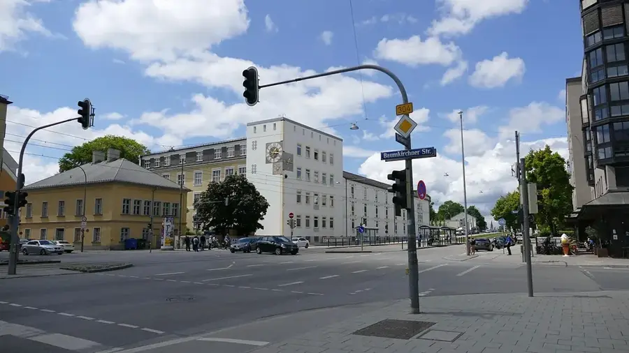
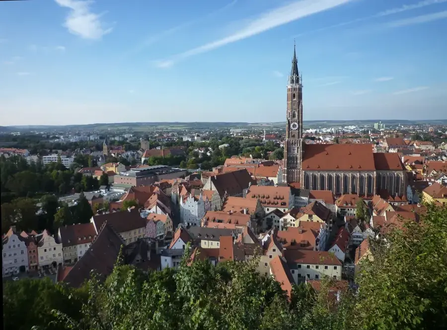
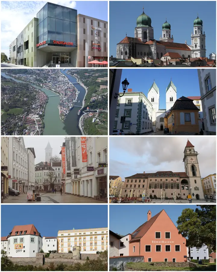
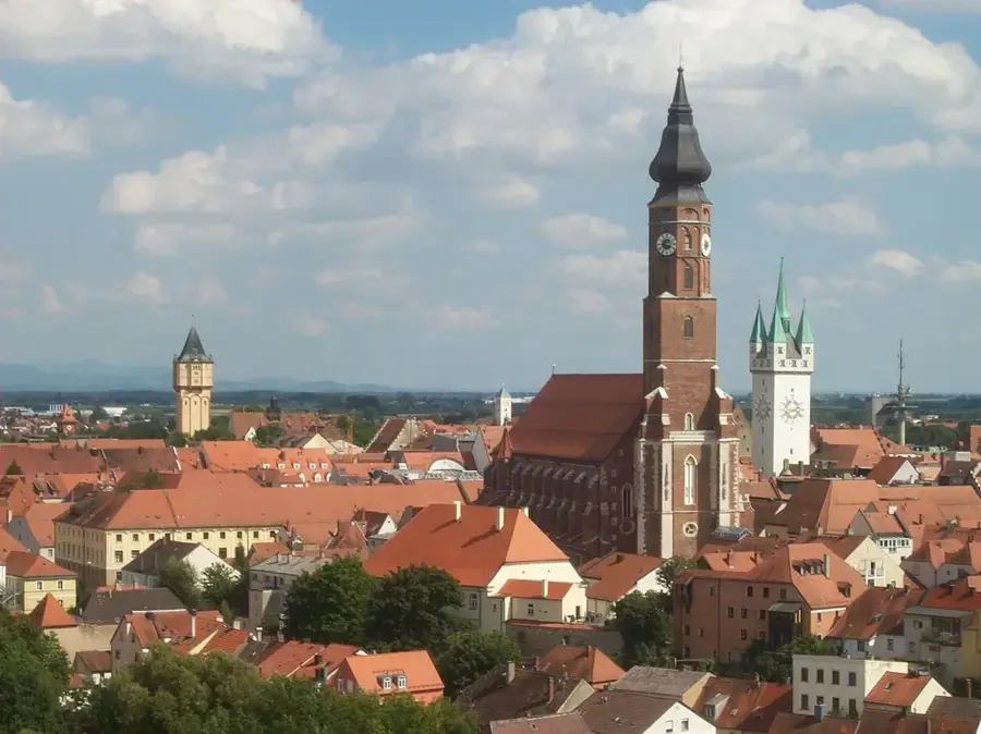
Notable places around
Where do you start? We build the route here, with stops and country notes along the way.
© OpenStreetMap contributors · OpenRouteService
A Renaissance castle in the Chiemgau region, famous for its courtyard concerts.