Plizio Visual Lab
Soma
ℹ️Practical info — Soma
▾
🌤 Weather — 5 days
📍 Nearby
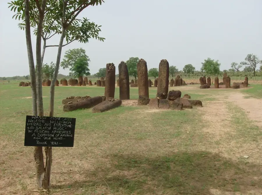
Sights nearby
💡 Tips
- Soma is a bustling transit hub; expect crowded streets, especially near the transport garages where buses and bush taxis depart.
- If you are crossing the Senegambia Bridge, it is faster to organize your transport to the bridge and find onward transport on the other side.
- Prepare for dust, especially during the dry season, as many side streets are unpaved.
- ATMs might be unreliable or empty; carry sufficient cash (Dalasi) for your onward journey.
🍽 Food
Find it in the local eating houses near the main motor park.
Popular street food choice available at small stalls along the main road.
Look for smoke rising from roadside stalls in the evening for freshly grilled meat.
🛍 Shopping · 🧘 Quiet spots
A lively daily market selling fresh produce, fabrics, and household goods.
Vendors around the bus stations sell groundnuts, fruit, and bottled water for travelers.
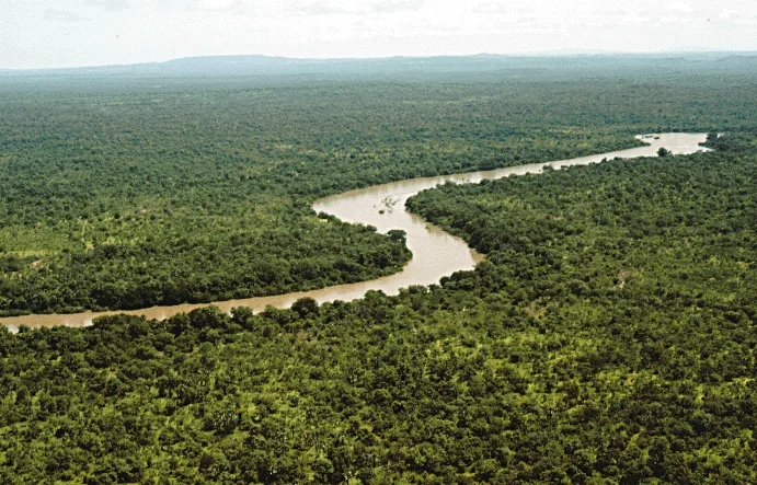
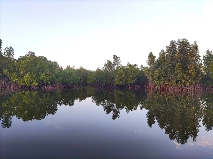
Take a short trip outside the town towards the Gambia River for a more peaceful environment.
The courtyards of larger local mosques offer a quiet respite outside of prayer times.
Water temperature…
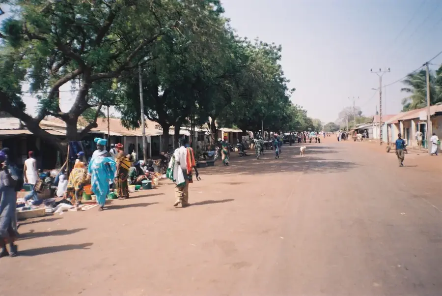
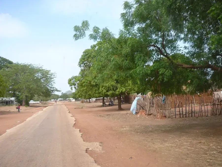
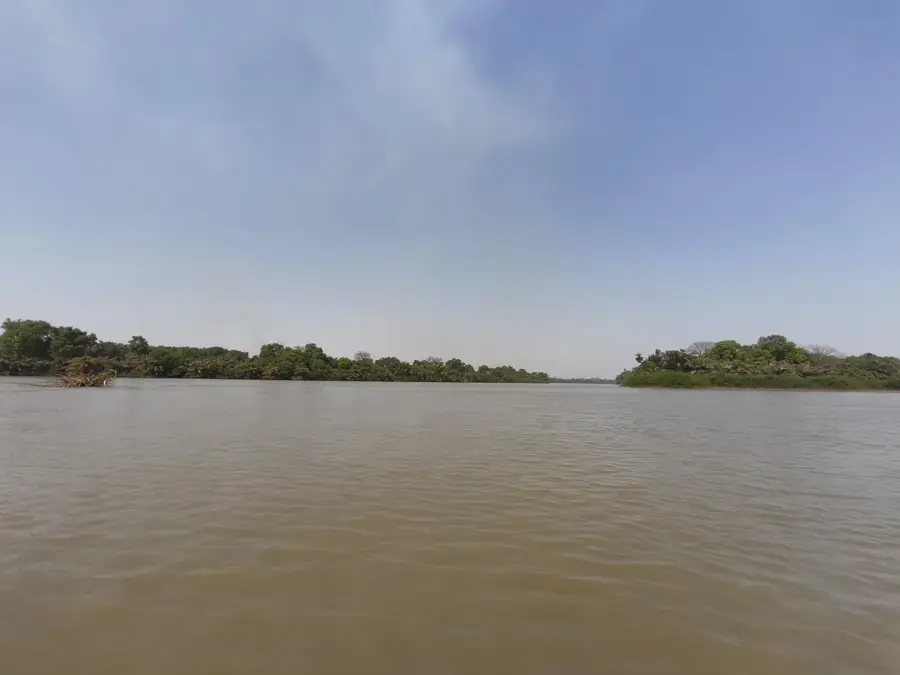
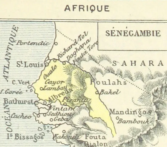
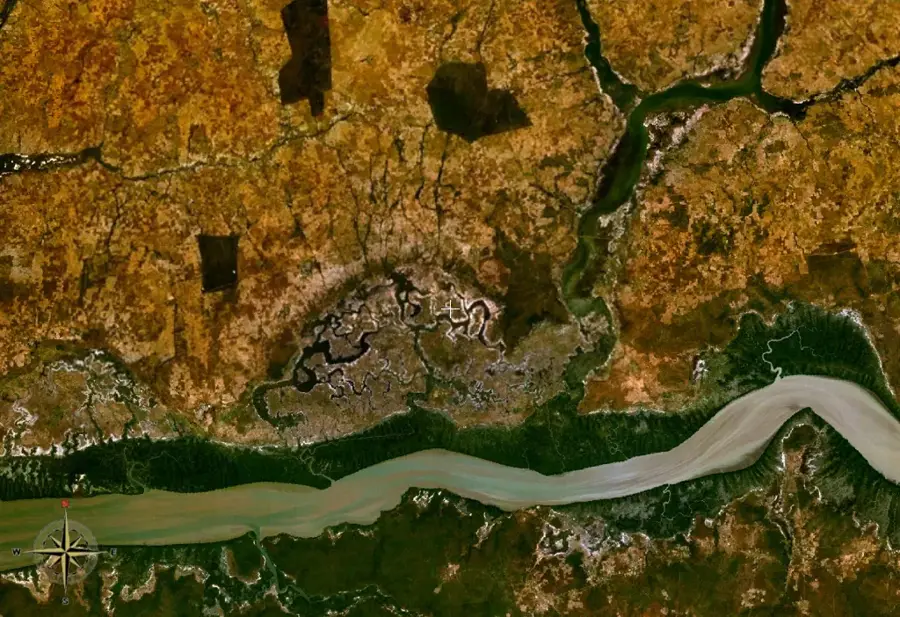
Soma is a prominent town located in the Lower River Region, serving as a vital commercial and transport nexus in the heart of The Gambia. Sitting at the intersection of the primary east-west South Bank Road and the north-south Trans-Gambia Highway, it is heavily focused on transit trade. The town historically served as the southern terminus for the Trans-Gambia ferry crossing before the Senegambia Bridge was constructed nearby in 2019. Soma's economy revolves around transport services, hospitality for travelers, and agricultural trade, particularly peanuts and regional produce. Its strategic central position makes it a mandatory stop for most cross-country travelers.
- Location: Gambia
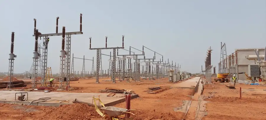
- Top sights: Soma, Gambia · Soma Solar Power Station · Jarra West
- Nearby: Farafenni (17 km)
- Population: ~15.210 (2023)
Best time to visit & climate
The most pleasant time to visit is Jan, Feb, Dec.
| Jan | Feb | Mar | Apr | May | Jun | Jul | Aug | Sep | Oct | Nov | Dec | |
|---|---|---|---|---|---|---|---|---|---|---|---|---|
| Avg °C | 24 | 26 | 29 | 30 | 31 | 30 | 28 | 27 | 27 | 27 | 26 | 24 |
| Rain mm | 1 | 0 | 0 | 0 | 6 | 90 | 201 | 310 | 224 | 68 | 4 | 0 |
Geography
Facts
- Located at the major intersection of the South Bank Road.
- Historically the southern base for the Trans-Gambia ferry.
- Situated just south of the new Senegambia Bridge.
- A primary transit and commercial hub in the Lower River Region.
- Heavily reliant on transport and regional agricultural trade.
- Serves as a major rest stop for cross-country travelers.
Explore nearby
Notable places around
Route planner — Car & Motorhome
Where do you start? We build the route here, with stops and country notes along the way.
© OpenStreetMap contributors · OpenRouteService
Sights in the town Soma (3)
Frequently asked questions
What kind of place is Soma?
Are there good places to stay?
What is the main attraction?
What is the food like in Soma?
What is Soma suitable for as a base?
Soma: where is it located?
Soma: what is there to see?
Soma: when is the best time to visit?
Soma: why is it worth visiting?

Nearby cities

History & landmarks
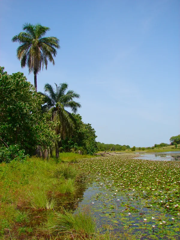
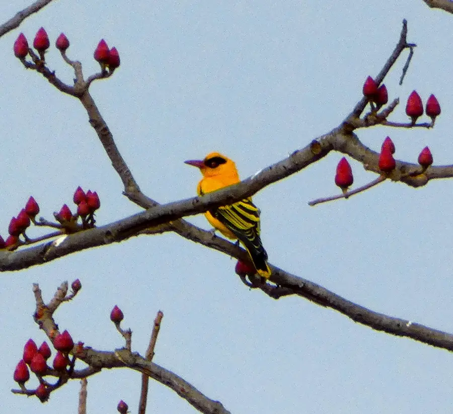
Nature
More places