Plizio Visual Lab
Kerewan

ℹ️Practical info — Kerewan
▾
🌤 Weather — 5 days
📍 Nearby
Sights nearby
💡 Tips
- The ferry or bridge crossing from the south bank takes time; plan your journey with some buffer time.
- A boat trip on the bolongs (creeks) is excellent for birdwatching in the early morning.
- Greet locals with 'Salaam aleikum' to show respect and receive a warm welcome.
- Carry plenty of bottled water, as the region can get very hot during midday.
🍽 Food
A savory staple served generously in local cookshops.
A flavorful one-pot rice dish often cooked with vegetables and fish.
A sweet and refreshing cold hibiscus tea to beat the heat.
🛍 Shopping · 🧘 Quiet spots
Look for locally dyed cotton materials at the regional market.
Buy fresh, locally grown nuts directly from vendors.
Small carved items can sometimes be found from local craftsmen.
Hire a small canoe for a tranquil and scenic trip on the water.
Offer a peaceful environment to watch the sky change colors.
Water temperature…
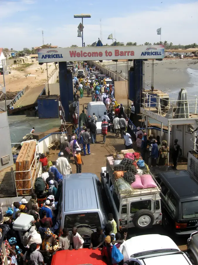
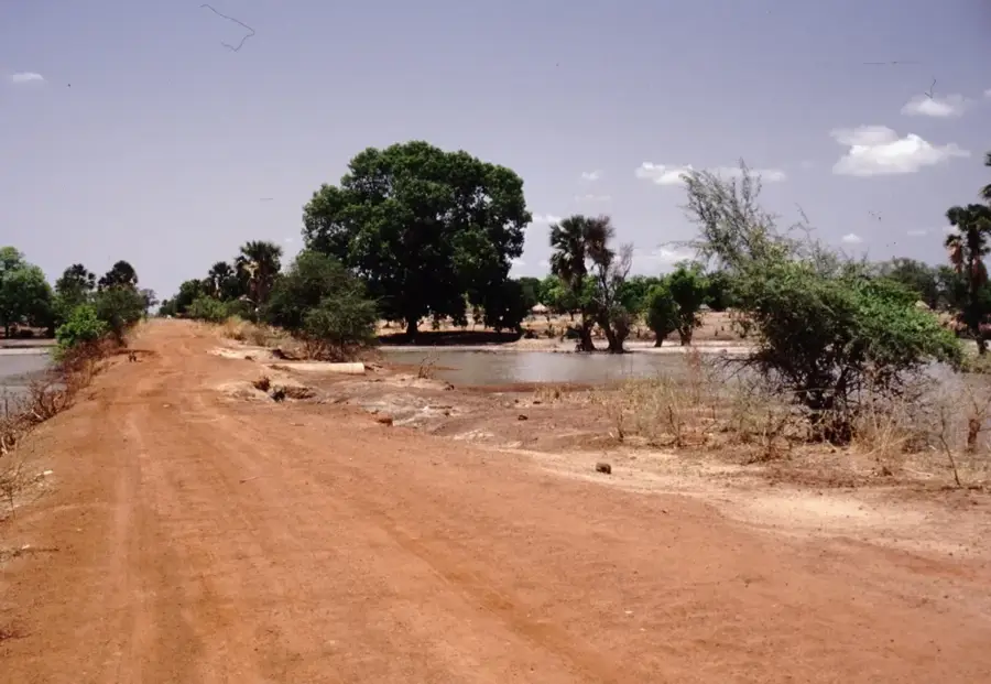
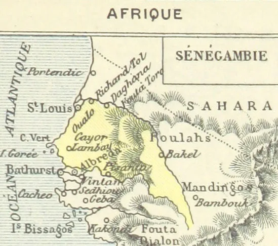
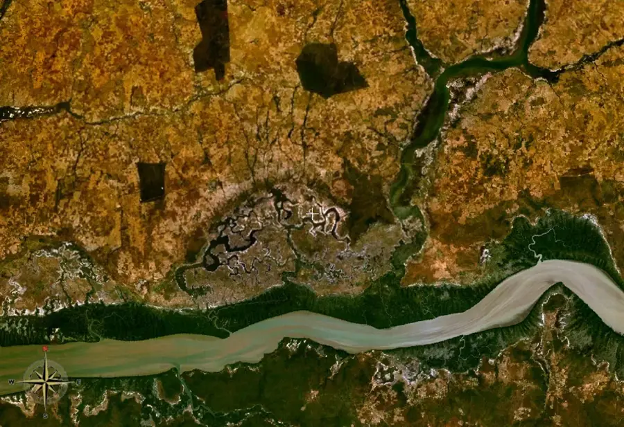
Kerewan is a key administrative and agricultural town located on the north bank of the Gambia River, serving as the headquarters for the North Bank Region. Situated along a major tributary called the Miniminiyang Bolong, it has historically been an important center for trade and river transport. The town is surrounded by expansive agricultural lands primarily dedicated to peanut farming, which remains the backbone of the local economy. Kerewan gained improved connectivity with the construction of a modern bridge over its tributary, replacing an old ferry system and significantly boosting the flow of goods and people across the northern districts.
- Location: Gambia
- Nearby: Bao Bolong Wetland Reserve (25 km)
- Population: ~5.485 (2023)
Best time to visit & climate
The most pleasant time to visit is Jan, Feb, Dec.
| Jan | Feb | Mar | Apr | May | Jun | Jul | Aug | Sep | Oct | Nov | Dec | |
|---|---|---|---|---|---|---|---|---|---|---|---|---|
| Avg °C | 24 | 26 | 28 | 29 | 29 | 29 | 28 | 27 | 27 | 27 | 26 | 24 |
| Rain mm | 1 | 0 | 5 | 2 | 4 | 74 | 187 | 306 | 231 | 67 | 3 | 0 |
Geography
Facts
- Serves as the administrative capital of the North Bank Region.
- Located along the Miniminiyang Bolong, a river tributary.
- A major center for regional groundnut (peanut) farming.
- Connected by the Kerewan Bridge, replacing a former ferry.
- Historically an important inland trading post on the north bank.
- Acts as a central hub for rural agricultural communities.
Explore nearby
Notable places around
Route planner — Car & Motorhome
Where do you start? We build the route here, with stops and country notes along the way.
© OpenStreetMap contributors · OpenRouteService
Sights in the town Kerewan (1)
Frequently asked questions
What is the significance of Kerewan?
Can Kerewan be visited by boat?
What is special about the nature in Kerewan?
When is the best time for a visit?
What is located near Kerewan?
Kerewan: where is it located?
Kerewan: when is the best time to visit?
Kerewan: why is it worth visiting?

Nearby cities

History & landmarks


Nature
More places