Plizio Visual Lab
Keneba Plateau

Weather…
Water temperature…
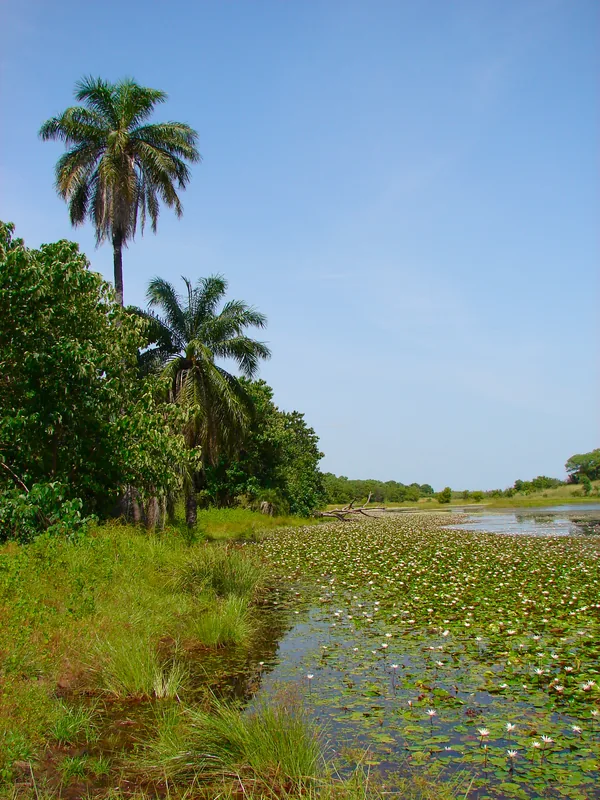
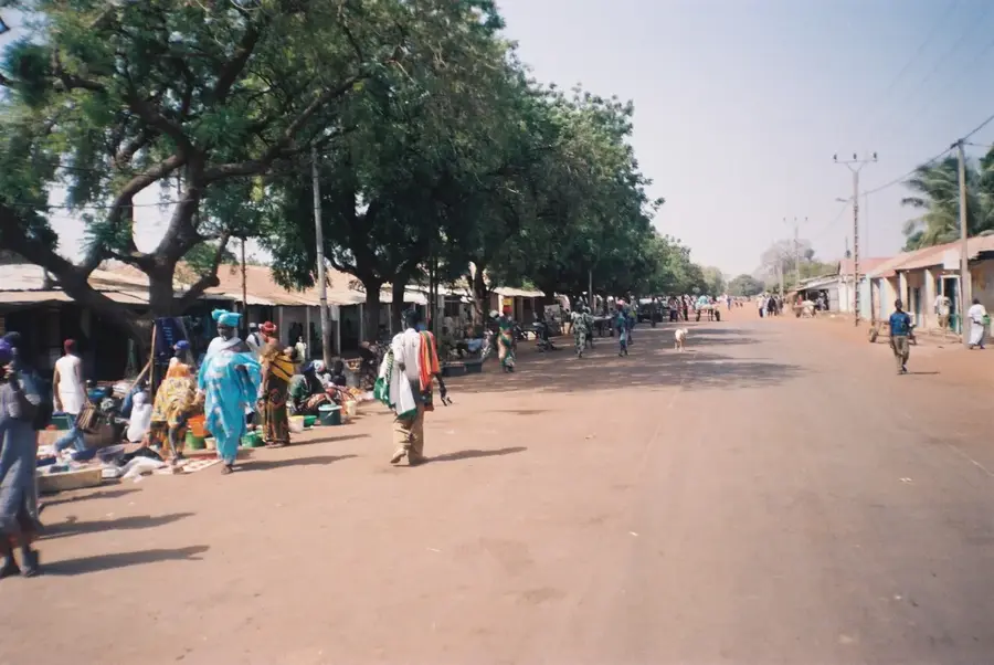
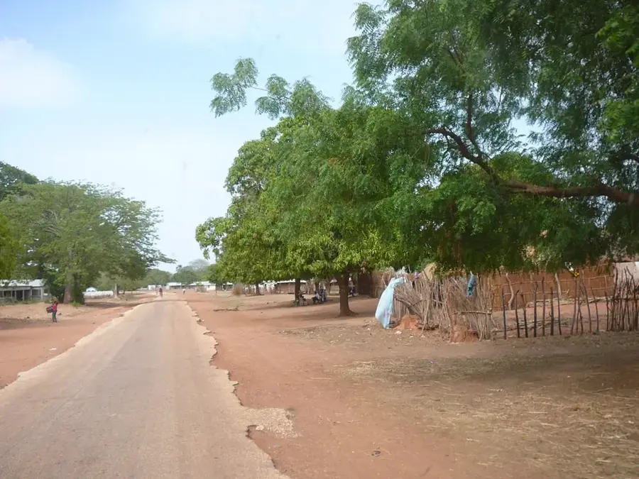
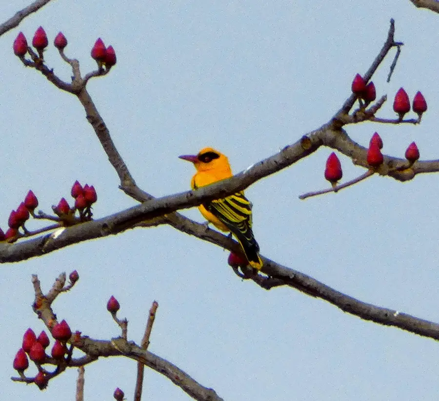
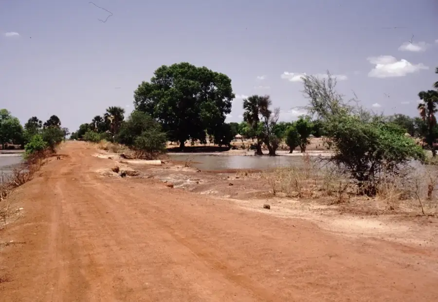
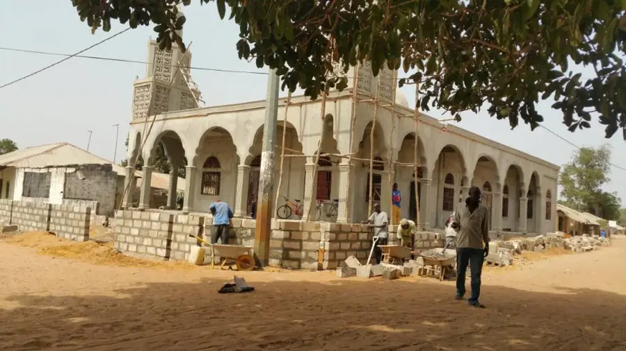
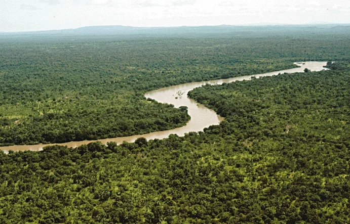
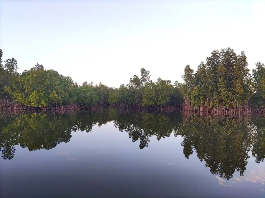
The Keneba Plateau in the Lower River Division is a geographical formation of significant ecological and scientific importance. It consists of a stable laterite layer that rises above the surrounding mangrove swamps and salt marshes of the Gambia River. The plateau is known for its open savanna woodland, where African mahogany and various acacia species thrive. The region gained international recognition through the presence of the Medical Research Council (MRC), which has conducted long-term nutritional and health studies here since 1947. The topography of the plateau provides protection against seasonal river flooding, making it a preferred settlement area for centuries. While the soils are nutrient-poor, they are suitable for cultivating millet and sorghum. Wildlife includes numerous bird species and small antelopes that find refuge in the protected forested patches of the plateau.
- Location: Gambia
- Top sights: Kiang National Forest · Faba Forest Park
- Nearby: Kalagi (7 km)
Best time to visit & climate
The most pleasant time to visit is Jan, Feb, Dec.
| Jan | Feb | Mar | Apr | May | Jun | Jul | Aug | Sep | Oct | Nov | Dec | |
|---|---|---|---|---|---|---|---|---|---|---|---|---|
| Avg °C | 24 | 26 | 28 | 29 | 29 | 29 | 28 | 27 | 27 | 27 | 26 | 24 |
| Rain mm | 1 | 0 | 5 | 2 | 4 | 74 | 187 | 306 | 231 | 67 | 3 | 0 |
📋 Practical info
Geography
Facts
- Home to a world-renowned medical research station since 1947.
- Located in the Kiang West region, Lower River Division.
- Average elevation is 20 meters above the river level.
- Soils are highly weathered oxisolic laterites.
- A key site for global research on tropical diseases.
- Vegetation includes the ecologically significant baobab tree.
Explore nearby
Notable places around
Route planner — Car & Motorhome
Where do you start? We build the route here, with stops and country notes along the way.
© OpenStreetMap contributors · OpenRouteService
Sights in the town Keneba Plateau (2)
Sights nearby
Frequently asked questions
Where is the Keneba Plateau located?
Is the plateau inhabited?
What is the view like from the plateau?
Are there hiking trails there?
When should you visit Keneba?
Keneba Plateau: where is it located?
Keneba Plateau: what is there to see?
Keneba Plateau: when is the best time to visit?
Keneba Plateau: why is it worth visiting?

Nearby cities

History & landmarks

Nature
More places