Plizio Visual Lab
Mansa Konko
ℹ️Practical info — Mansa Konko
▾
🌤 Weather — 5 days
📍 Nearby
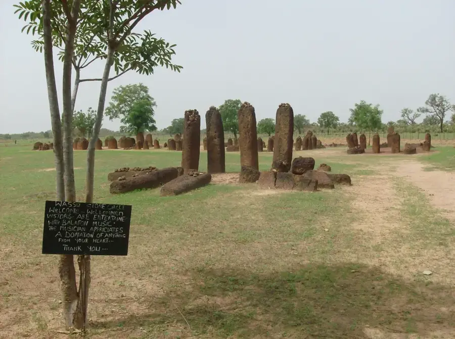
Sights nearby
💡 Tips
- The name means "Hill of Kings"; climb up to the old colonial administrative buildings for a panoramic view of the Gambia River.
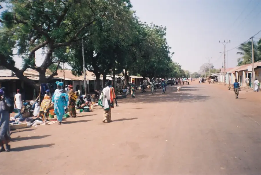
- Mansa Konko is quieter than the nearby transit hub of Soma, making it a better place for a relaxed overnight stay.
- Hire a local guide if you wish to explore the nearby riverbanks and creeks, as the terrain can be confusing.
- Facilities are basic; ensure you have enough cash and personal supplies before arriving from the coastal areas.
🍽 Food
Served with rice in the guesthouses or small local eateries around the town.
A sweet, chalky local drink often available in local shops.
A stew made from cassava or potato leaves, sometimes found in local eating houses.
🛍 Shopping · 🧘 Quiet spots
Small kiosks sell daily necessities, but for a larger market, head down the road to Soma.
Bakeries operating from homes sell fresh tapalapa in the early mornings.
The area around the regional government headquarters gives a peaceful view over the river valley.
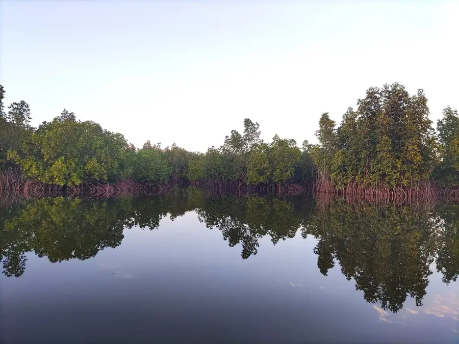
Take a quiet boat ride through the mangroves near the main river.
Water temperature…
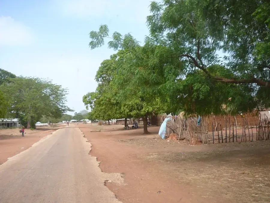
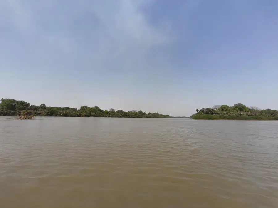
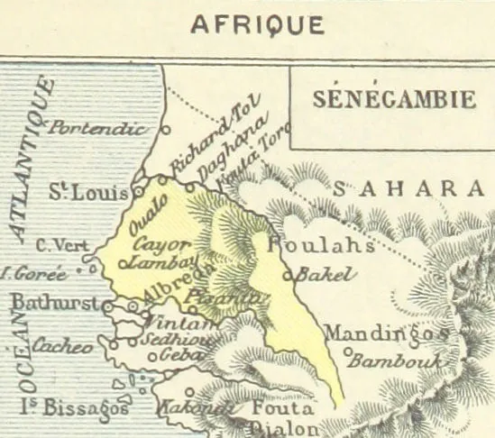
Mansa Konko, whose name translates to 'Hill of Kings' in Mandinka, is an administrative town located in the Lower River Region. Situated on a rare elevated ridge overlooking the Gambia River valley, it provides panoramic views of the surrounding wetlands and agricultural plains. The town served as a significant colonial administrative center, and several older buildings from the British era still stand. Today, Mansa Konko functions as the regional capital, housing local government offices and serving as an educational hub for the area. Its proximity to the bustling transit town of Soma makes it a quiet bureaucratic counterpart to its commercial neighbor.
- Location: Gambia
- Nearby: Farafenni (13 km)
- Population: ~1.978 (2025)
Best time to visit & climate
The most pleasant time to visit is Jan, Feb, Dec.
| Jan | Feb | Mar | Apr | May | Jun | Jul | Aug | Sep | Oct | Nov | Dec | |
|---|---|---|---|---|---|---|---|---|---|---|---|---|
| Avg °C | 24 | 26 | 29 | 30 | 31 | 30 | 28 | 27 | 27 | 27 | 26 | 24 |
| Rain mm | 1 | 0 | 0 | 0 | 6 | 90 | 201 | 310 | 224 | 68 | 4 | 0 |
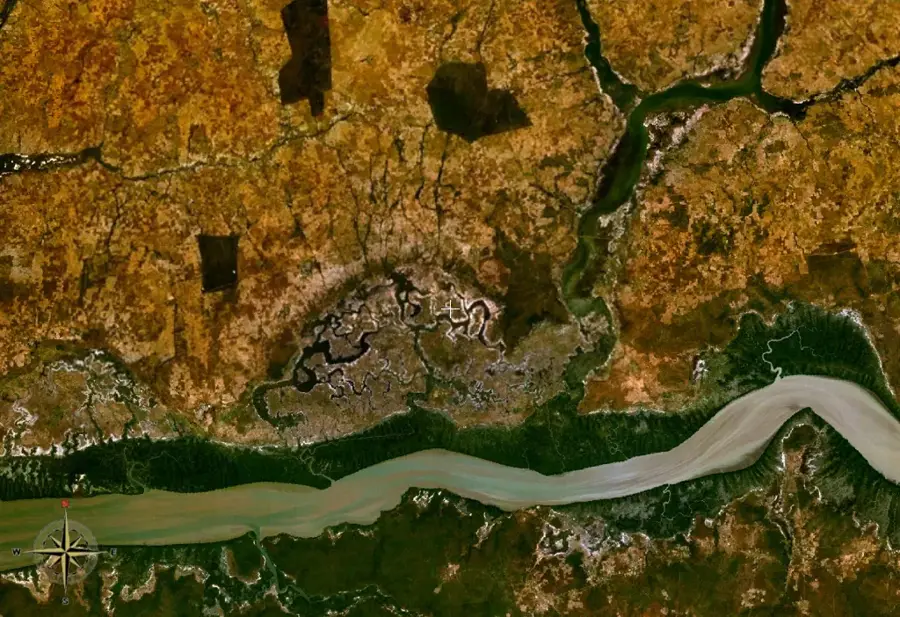
Geography
Facts
- The name translates to 'Hill of Kings' in the Mandinka language.
- Serves as the administrative headquarters of the Lower River Region.
- Located on a prominent ridge offering views of the river valley.
- Features historic administrative buildings from the British colonial era.
- Situated very close to the commercial transit hub of Soma.
- Functions as a primary educational center for the region.
Explore nearby
Notable places around
Route planner — Car & Motorhome
Where do you start? We build the route here, with stops and country notes along the way.
© OpenStreetMap contributors · OpenRouteService
Frequently asked questions
What does the name Mansa Konko mean?
Are there historical buildings in the town?
Why do tourists visit Mansa Konko?
What is the weather like in Mansa Konko?
Are there nature trails nearby?
Mansa Konko: where is it located?
Mansa Konko: when is the best time to visit?
Mansa Konko: why is it worth visiting?

Nearby cities
History & landmarks
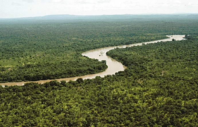
Nature
More places