Plizio Visual Lab
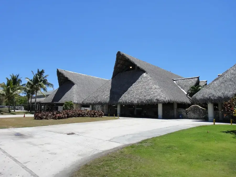
Cotubanamá National Park
Weather…
Water temperature…
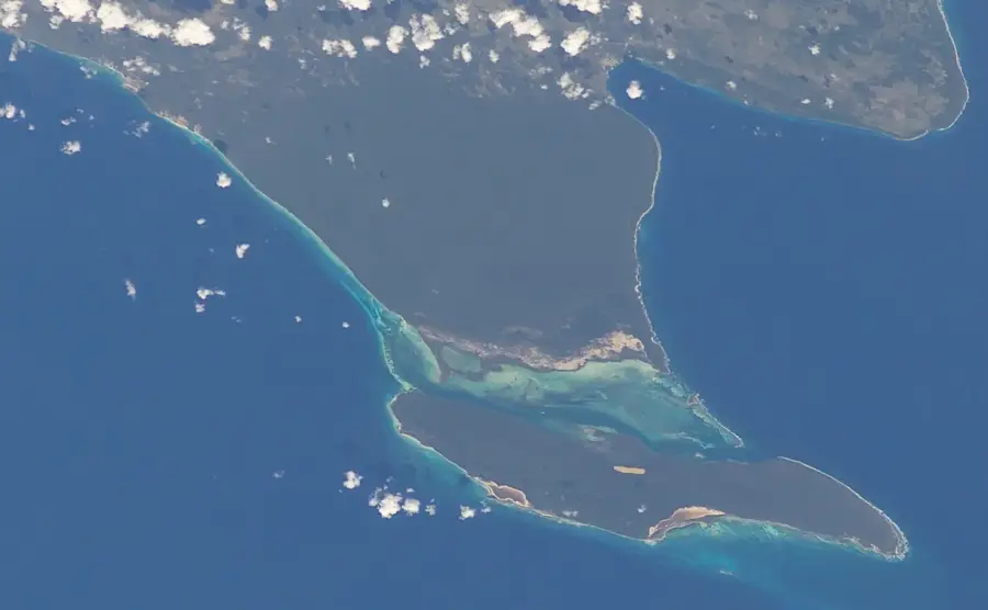
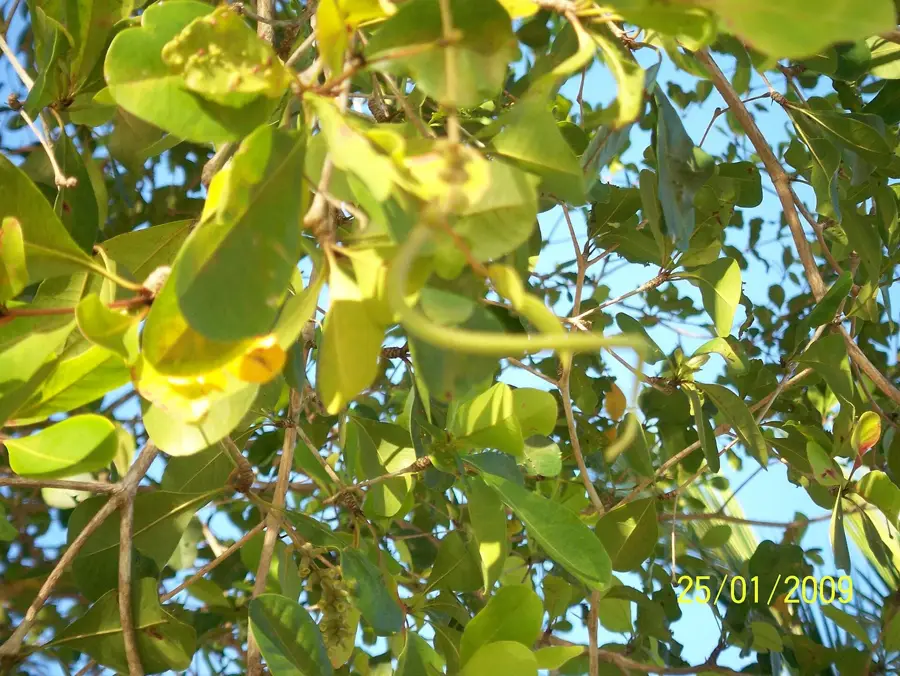
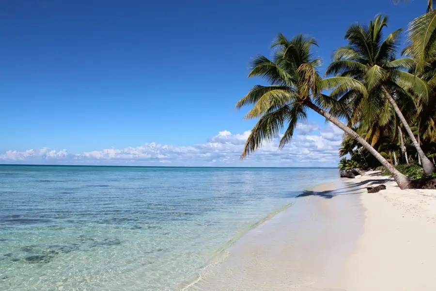
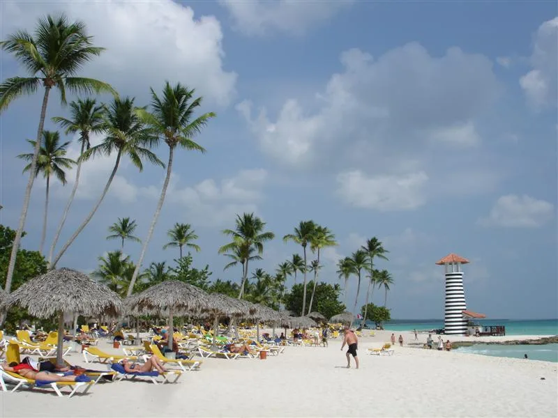
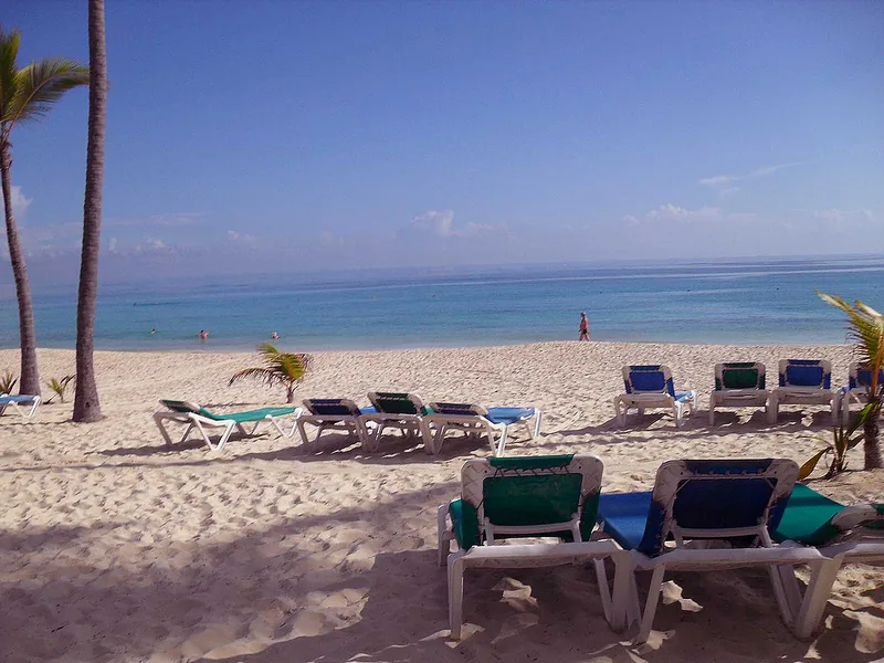
Cotubanamá National Park, formerly known as the National Park of the East (Parque Nacional del Este), covers the southeastern tip of the Dominican Republic. Spanning over 400 square kilometers, it includes both land and protected marine areas. The park's most famous feature is Saona Island, world-renowned for its pristine white sand beaches and turquoise lagoons. The park is home to an incredible biodiversity, including over 100 bird species and rare mammals like the solenodon and jutía. Its vegetation ranges from dry subtropical forests to extensive mangrove systems along the coastline. Inside the park's numerous limestone caves, visitors can find ancient Taino rock art, reflecting the region's rich pre-Columbian heritage. The surrounding waters boast well-preserved coral reefs, making it a premier destination for diving and snorkeling where sea turtles and dolphins are often spotted. The park was renamed in 2014 to honor the Taino chief Cotubanamá. Due to its ecological and cultural significance, it remains a cornerstone of Dominican conservation efforts. Strict regulations are in place to manage tourism and minimize the environmental impact on this delicate habitat.
- Location: Dominican Republic
- Nearby: Saona Island (5 km)
Best time to visit & climate
The most pleasant time to visit is Jan–Mar.
| Jan | Feb | Mar | Apr | May | Jun | Jul | Aug | Sep | Oct | Nov | Dec | |
|---|---|---|---|---|---|---|---|---|---|---|---|---|
| Avg °C | 26 | 26 | 26 | 27 | 28 | 28 | 28 | 29 | 29 | 28 | 27 | 26 |
| Rain mm | 38 | 27 | 25 | 47 | 67 | 46 | 49 | 59 | 65 | 62 | 78 | 47 |
📋 Practical info
Geography
Facts
- The national park was originally established in September 1975.
- Saona Island is the largest island in the park, at 110 square kilometers.
- More than 500 different plant species have been identified in the park.
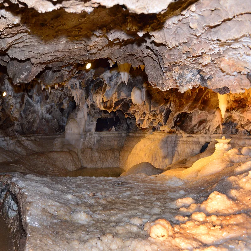
- The "Cueva del Puente" cave features impressive stalactite formations.
- The park is a critical nesting ground for four species of sea turtles.
- Cotubanamá was a prominent Taino chief in the early 16th century.
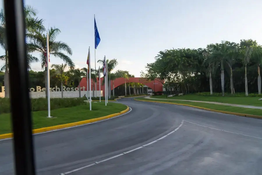
Explore nearby
Notable places around
Route planner — Car & Motorhome
Where do you start? We build the route here, with stops and country notes along the way.
© OpenStreetMap contributors · OpenRouteService
Sights nearby
Frequently asked questions
What is the park called today?
Does Saona Island belong to the park?
What can you see besides beaches?
Is there an entrance fee?
Where do the tours start?
Cotubanamá National Park: where is it located?
Cotubanamá National Park: when is the best time to visit?
Cotubanamá National Park: why is it worth visiting?

Nearby cities

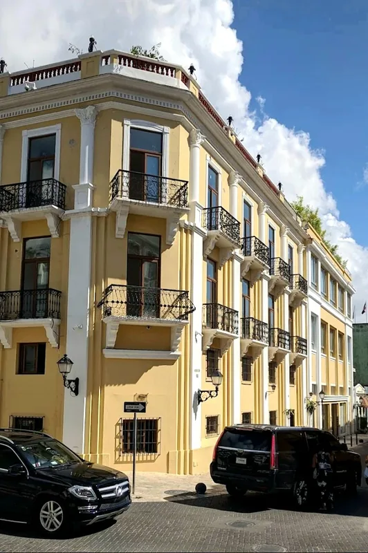
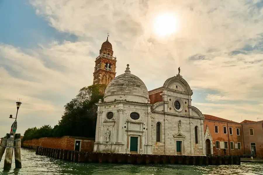
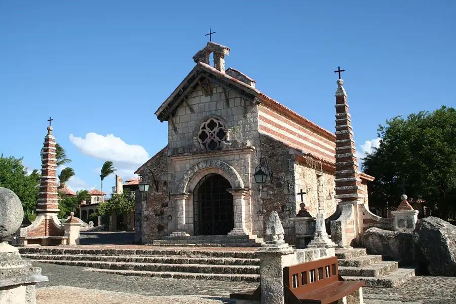
History & landmarks


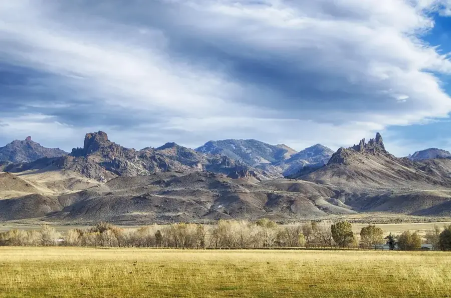
Nature
More places