Plizio Visual Lab
Catalinita Island
Weather…
Water temperature…
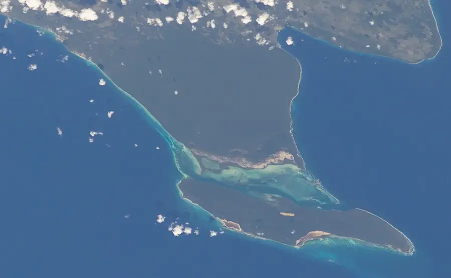
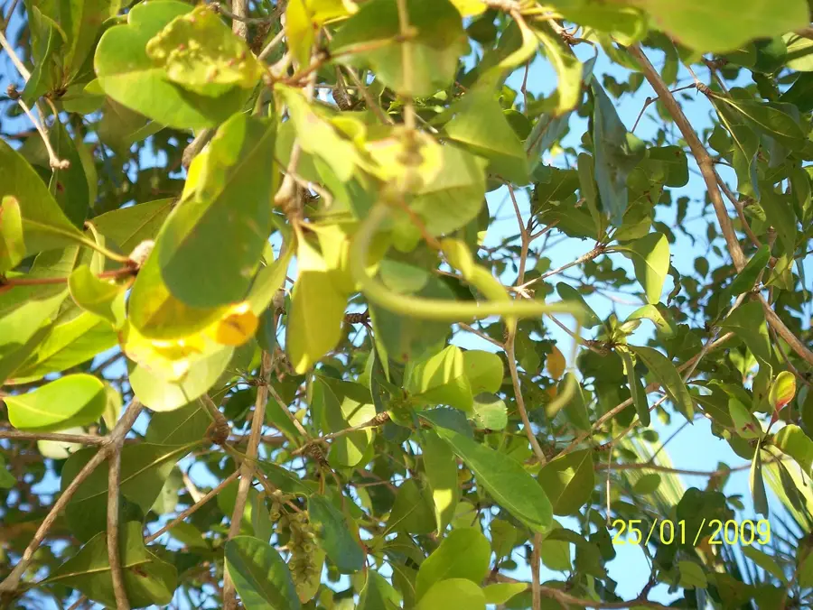
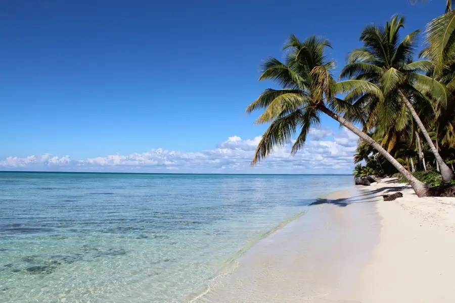
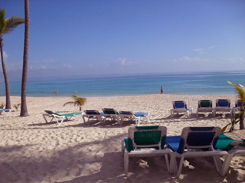
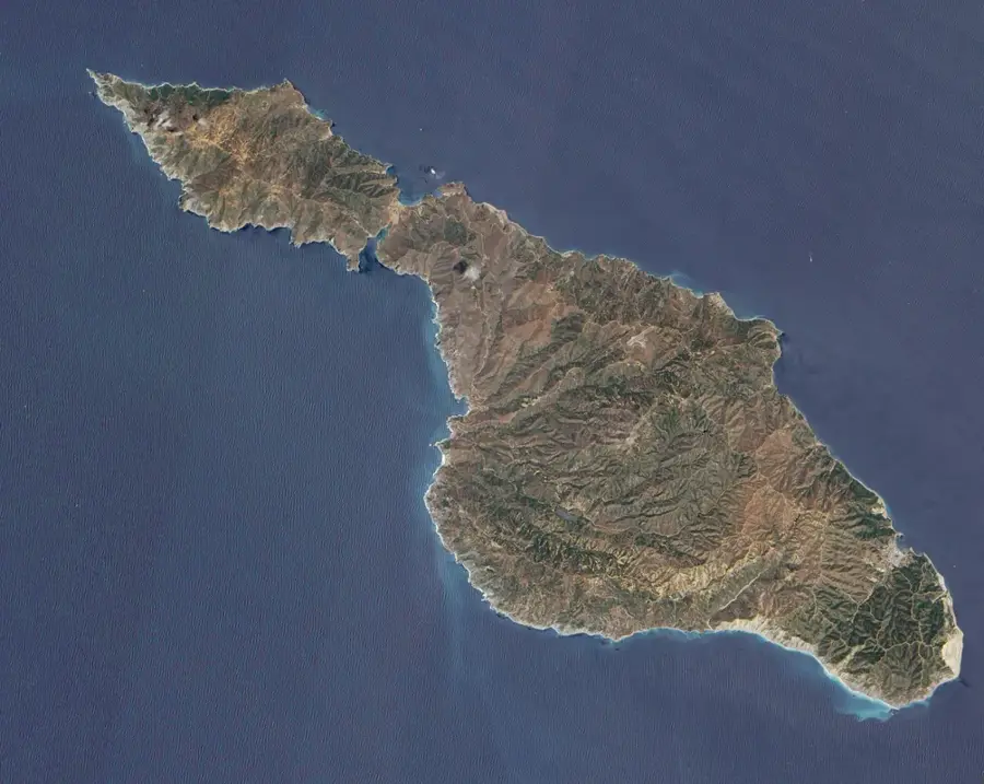
Catalinita Island is a small, uninhabited island located in the Catuano Channel, which separates the larger Saona Island from the mainland of the Dominican Republic. It is part of the Cotubanamá National Park and is celebrated for its extraordinary marine biodiversity. The island itself is characterized by jagged coral rock formations and dense mangroves that provide essential nesting grounds for numerous seabirds. A striking feature of the island is the massive accumulations of empty queen conch shells, known as the "graveyard of shells," reflecting decades of traditional use by local fishers. The surrounding coral reefs are shallow and offer good conditions for snorkeling, where a vast array of tropical fish, rays, and occasionally sea turtles can be spotted. Due to its remote location and strict environmental protections, the island has maintained its wild and pristine character. Visitors typically reach the island via guided boat tours departing from Bayahibe to experience its natural beauty and tranquility away from the crowds.
- Location: Dominican Republic
- Nearby: Saona Island (8 km)
Best time to visit & climate
The most pleasant time to visit is Jan–Mar.
| Jan | Feb | Mar | Apr | May | Jun | Jul | Aug | Sep | Oct | Nov | Dec | |
|---|---|---|---|---|---|---|---|---|---|---|---|---|
| Avg °C | 26 | 26 | 26 | 27 | 27 | 28 | 28 | 29 | 29 | 29 | 28 | 27 |
| Rain mm | 36 | 25 | 23 | 43 | 70 | 51 | 59 | 72 | 71 | 74 | 84 | 45 |
📋 Practical info
Geography
Facts
- The island is situated roughly halfway between Bayahibe and Saona Island.
- It is a component of the Cotubanamá National Park (formerly Del Este).
- The shell mounds primarily consist of the Lobatus gigas species.
- The Catuano Channel is very shallow at this point with strong currents.
- Magnificent frigatebirds and pelicans nest in large numbers on the island.
- Anchoring is prohibited in the coral zones to protect the reef structure.
Explore nearby
Notable places around
Route planner — Car & Motorhome
Where do you start? We build the route here, with stops and country notes along the way.
© OpenStreetMap contributors · OpenRouteService
Sights nearby
Frequently asked questions
How is it different from Saona Island?
Can you go snorkeling there?
How do you reach Catalinita Island?
Is there any infrastructure there?
What are the 'entwined trees'?
Catalinita Island: where is it located?
Catalinita Island: when is the best time to visit?
Catalinita Island: why is it worth visiting?

Nearby cities
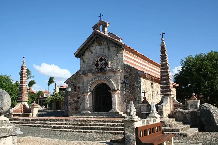
History & landmarks

Nature
More places