Plizio Visual Lab
Ensenada de la Broa
Weather…
Water temperature…
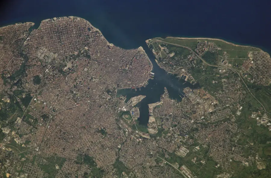
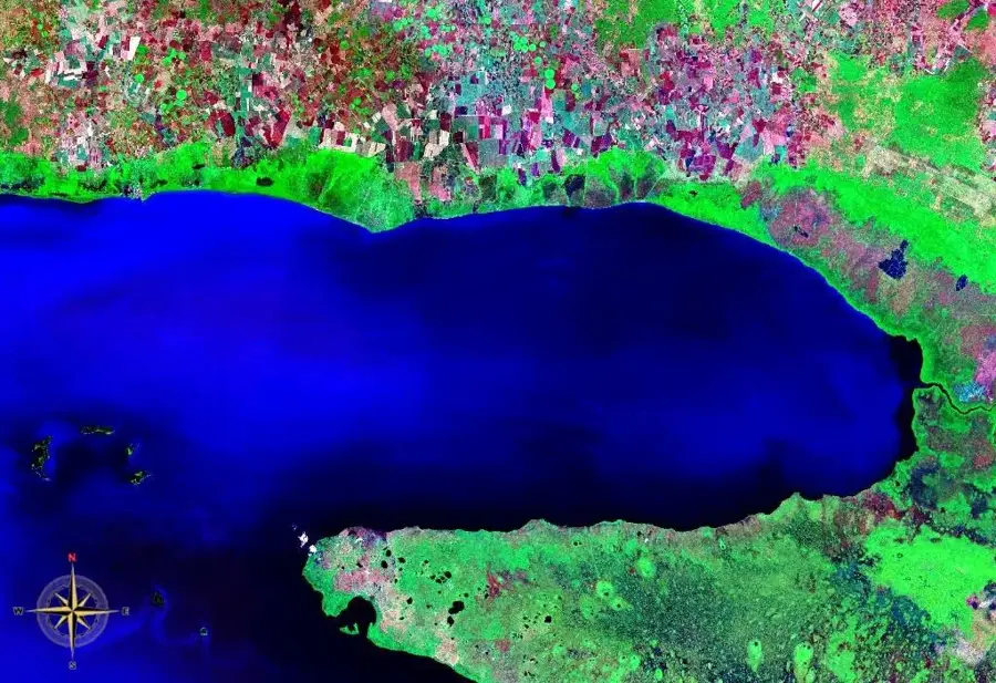
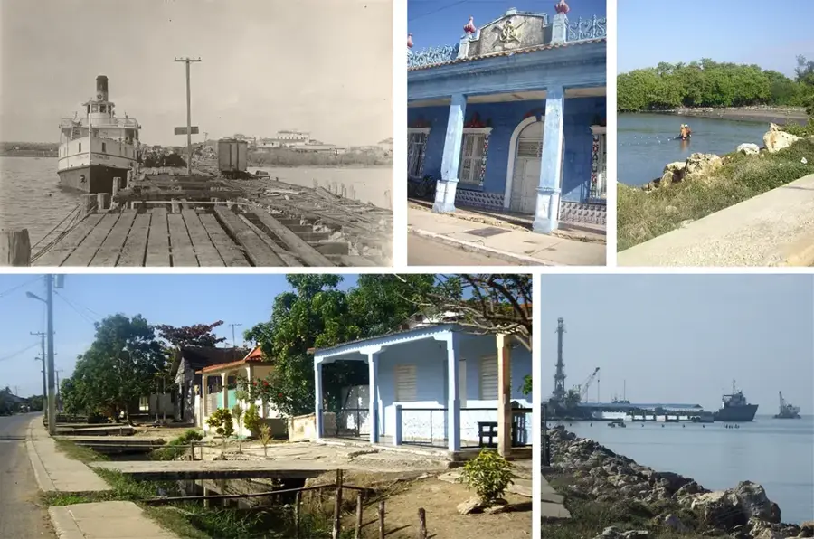
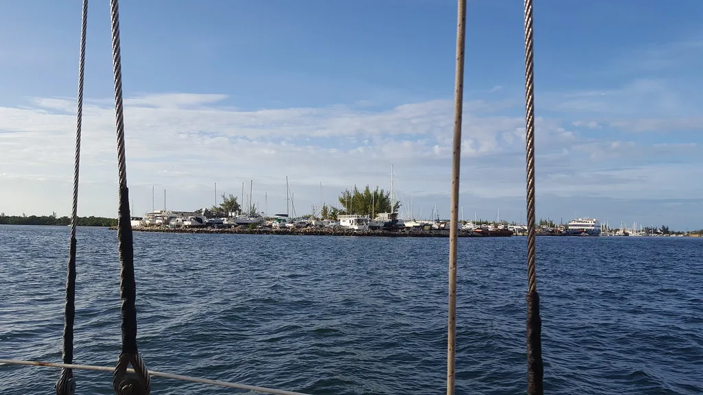
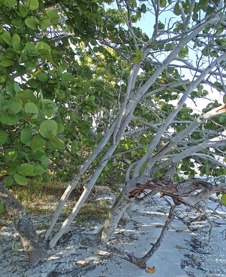
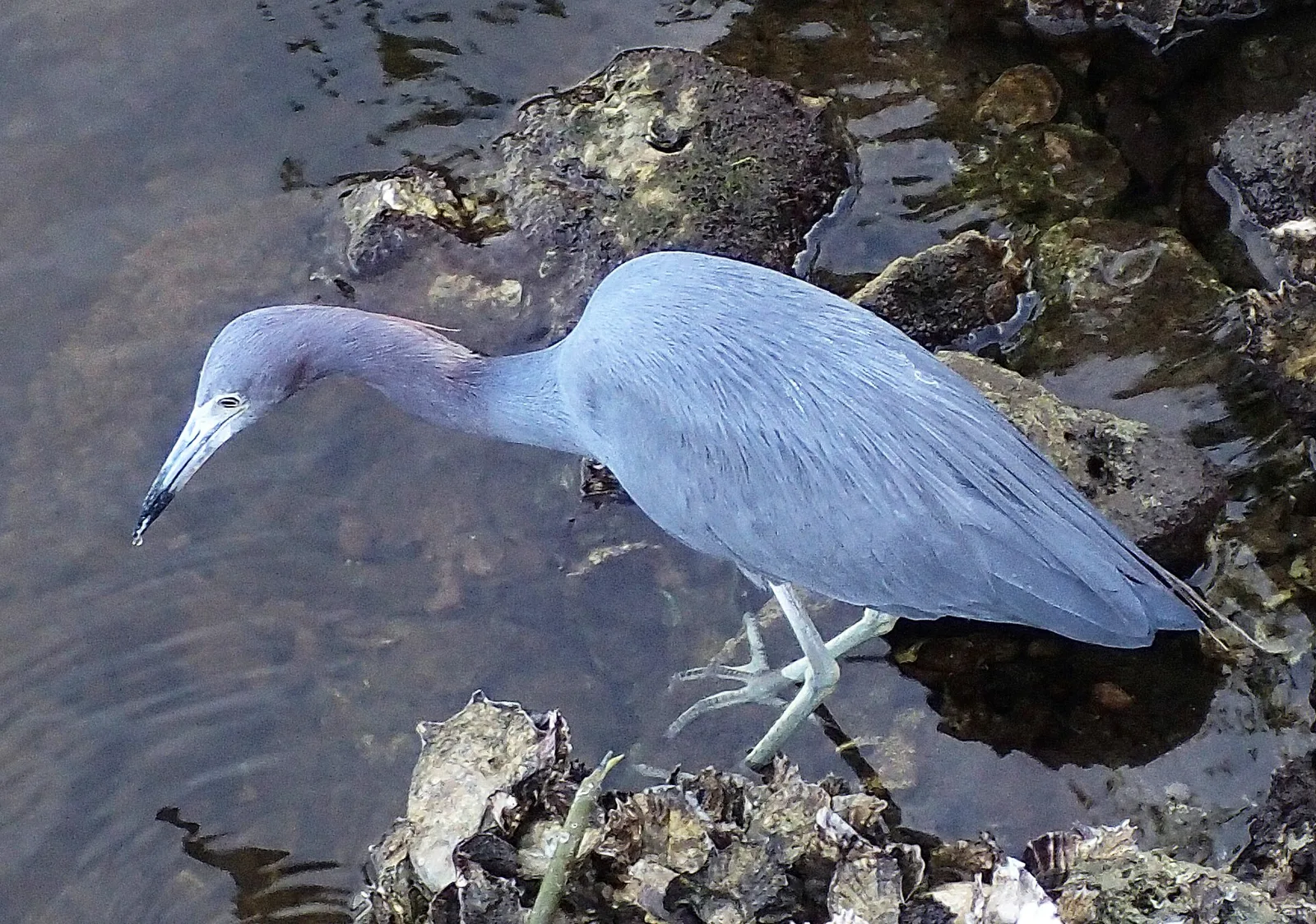
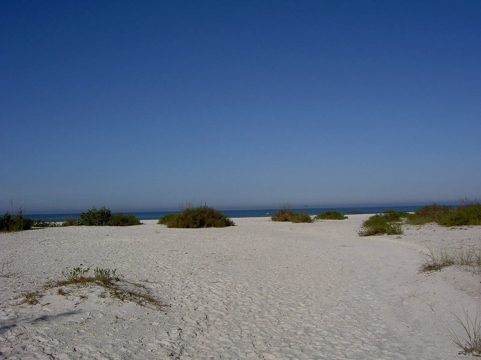
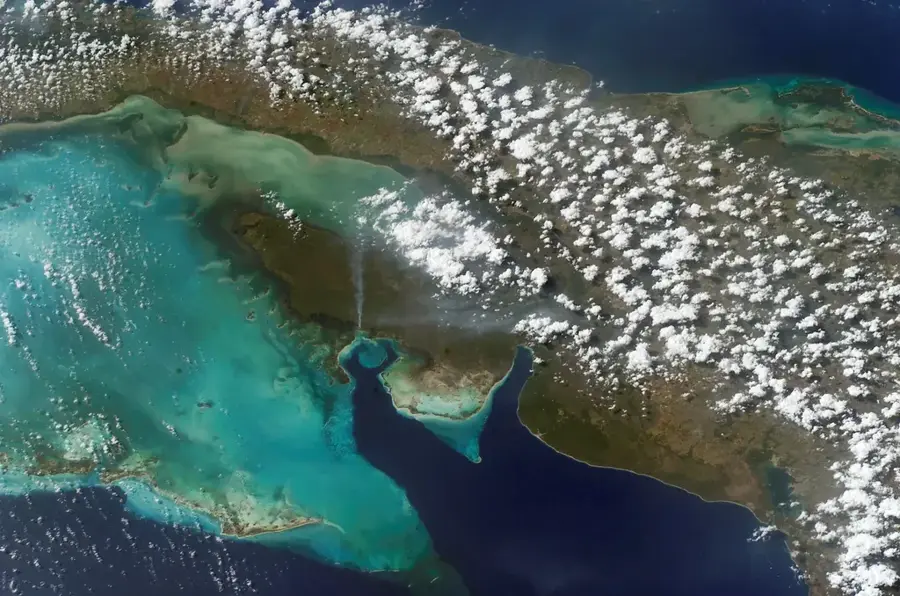
Ensenada de la Broa is a large bay located on the southern coast of Cuba, forming the eastern part of the Gulf of Batabanó between the provinces of Mayabeque and Matanzas. This shallow body of water is of immense ecological value, characterized by extensive mangrove systems that serve as vital breeding grounds for various marine species. Historically, the bay has been a significant site for the sponge industry and commercial shrimp fishing, contributing heavily to the regional economy for generations. The coastal landscape is marked by marshy terrain and karst structures, which are closely linked to the Zapata Swamp ecosystem to the east. Scientific research in the area often focuses on the interaction between freshwater discharge from inland rivers and the salinity levels of the bay. Today, environmental management initiatives aim to balance sustainable fishing practices with the preservation of fragile seagrass beds and coral formations.
- Location: Cuba
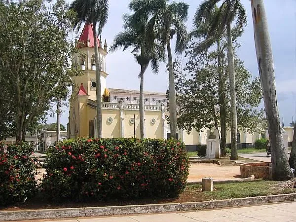
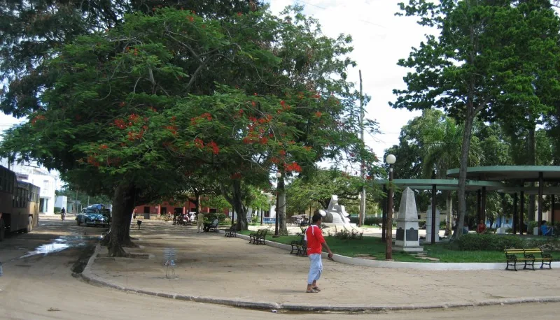
- Nearby: Güines (5 km)
Best time to visit & climate
The most pleasant time to visit is Jan, Feb, Dec.
| Jan | Feb | Mar | Apr | May | Jun | Jul | Aug | Sep | Oct | Nov | Dec | |
|---|---|---|---|---|---|---|---|---|---|---|---|---|
| Avg °C | 23 | 24 | 25 | 27 | 28 | 29 | 30 | 30 | 29 | 28 | 25 | 24 |
| Rain mm | 16 | 19 | 15 | 23 | 53 | 81 | 67 | 83 | 78 | 69 | 26 | 19 |
📋 Practical info
Geography
Facts
- The bay covers a total surface area of approximately 1,500 square kilometers.
- Average water depth in the Ensenada ranges from only 3 to 6 meters.
- It borders the Zapata Swamp, the largest wetland in the Caribbean, to the east.
- Sponge harvesting in the region peaked during the mid-20th century.
- Several underground karst rivers discharge freshwater directly into the bay.
- The area is a recognized habitat for the endangered West Indian manatee.
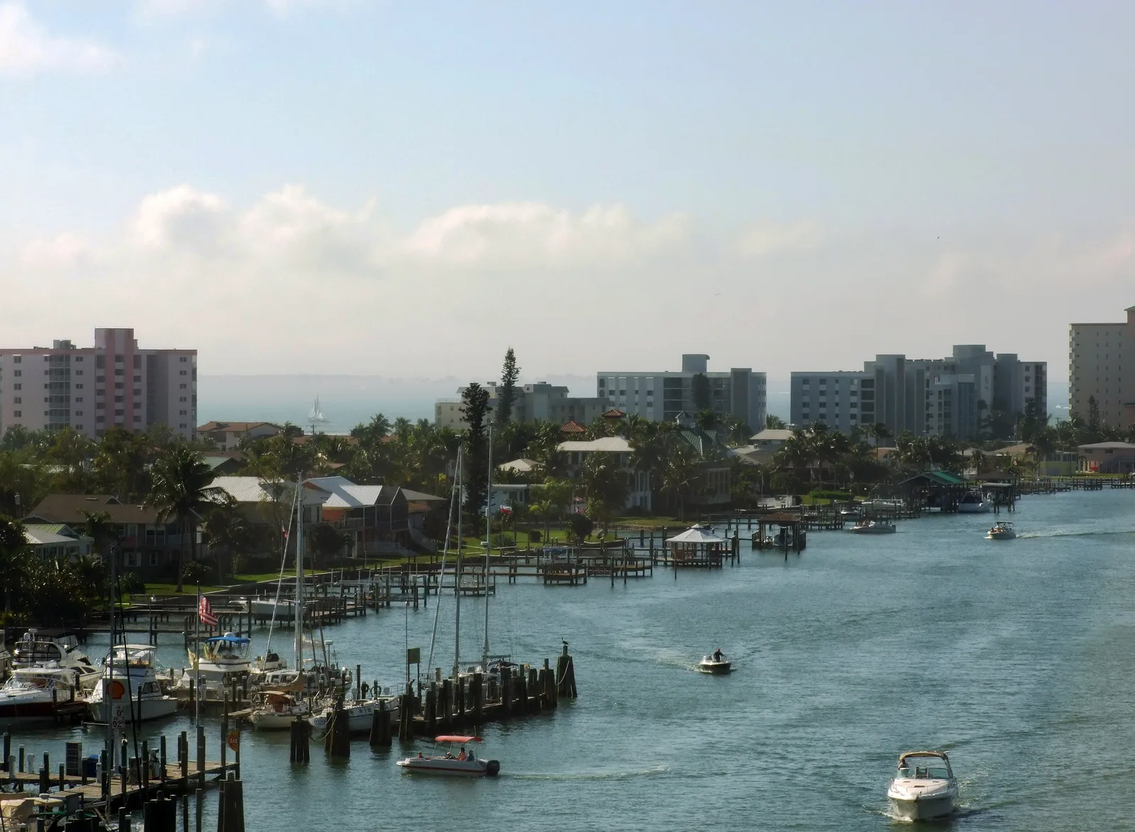
Explore nearby
Notable places around
Route planner — Car & Motorhome
Where do you start? We build the route here, with stops and country notes along the way.
© OpenStreetMap contributors · OpenRouteService
Sights nearby
Frequently asked questions
Where is Ensenada de la Broa located?
Is the water deep there?
Can you fish there?
Are there beaches in the bay?
What is the ecological importance of the bay?
Ensenada de la Broa: where is it located?
Ensenada de la Broa: when is the best time to visit?
Ensenada de la Broa: why is it worth visiting?

Nearby cities

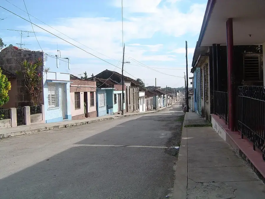

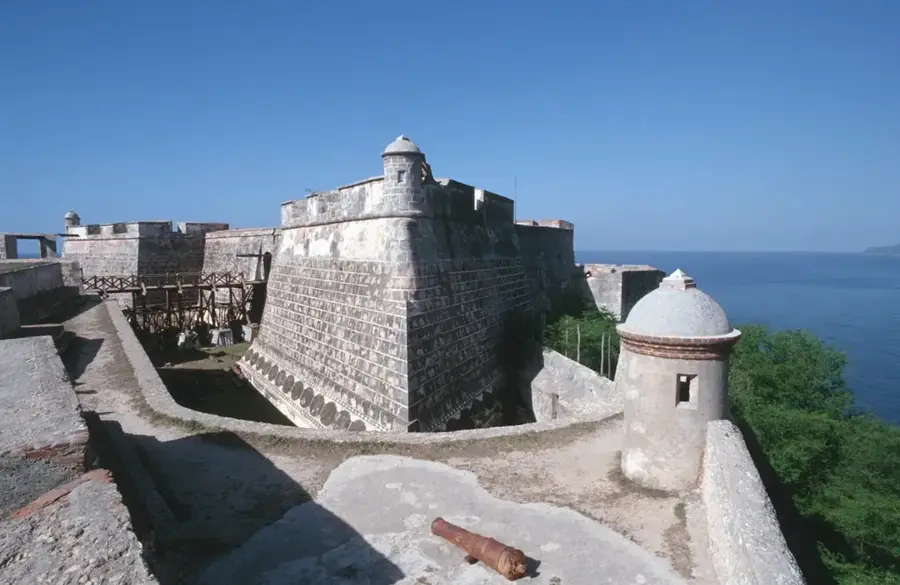
History & landmarks


Nature
More places