Plizio Visual Lab
Almendares River
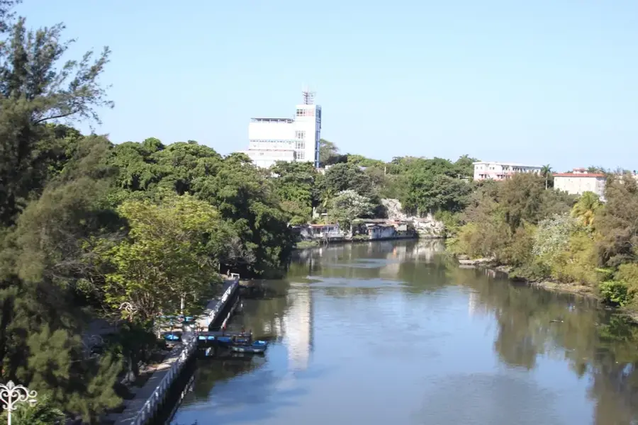
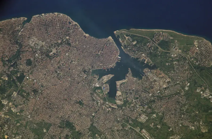
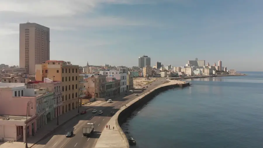
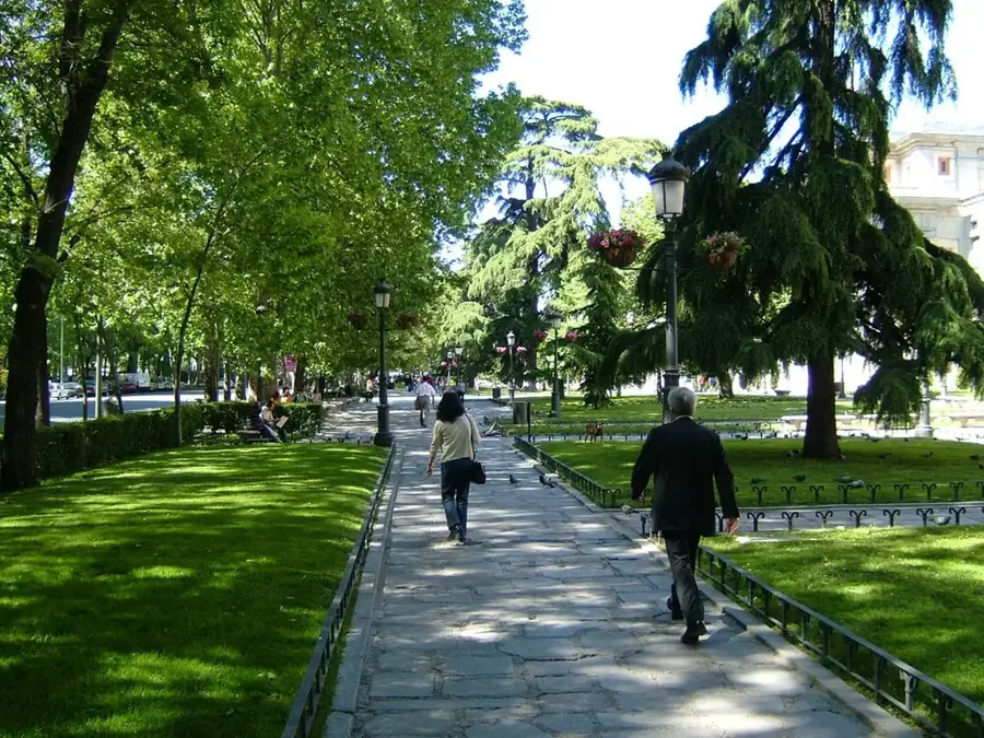
The Río Almendares is a 45-kilometer-long river in western Cuba that flows through the capital city of Havana and empties into the Gulf of Mexico. It originates in the Tapaste hills east of the city and serves as the primary water source for the metropolitan area. The river is of great historical significance, having been used by Spanish colonizers to supply water to the city's fortresses via early aqueducts. During the 20th century, the area surrounding the river was developed into an extensive urban park, Parque Almendares, which is widely regarded as Havana's "green lung." Geographically, the river acts as a natural boundary between several municipalities and is spanned by iconic structures like the Puente de Hierro (Iron Bridge). Despite ecological challenges posed by urban industrialization, recent years have seen comprehensive restoration projects aimed at improving water quality and preserving the riparian tropical forests. The river remains a cultural symbol of Havana and a key site for Santería religious ceremonies.
- Location: Cuba
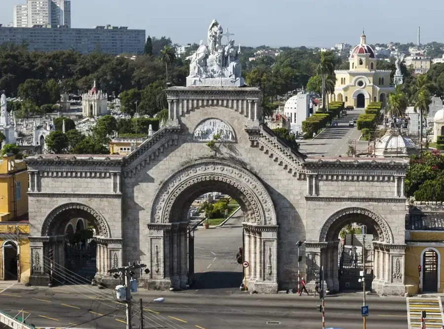
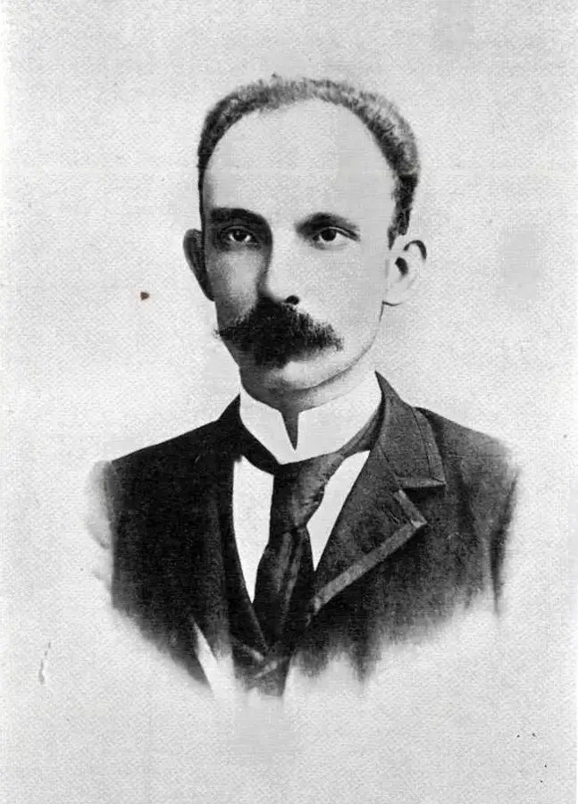
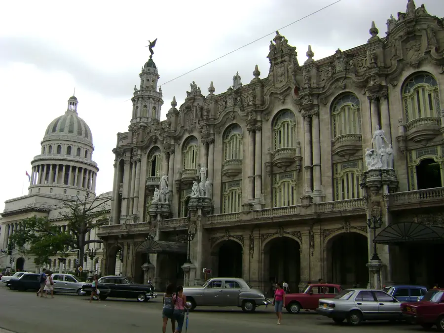
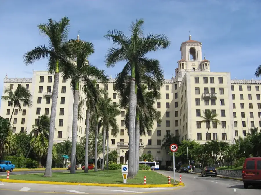
- Top sights: Colon Cemetery, Havana · Metropolitan Park of Havana · José Martí Memorial
- Nearby: Santiago de las Vegas (6 km)
Best time to visit & climate
The most pleasant time to visit is Jan, Feb, Dec.
| Jan | Feb | Mar | Apr | May | Jun | Jul | Aug | Sep | Oct | Nov | Dec | |
|---|---|---|---|---|---|---|---|---|---|---|---|---|
| Avg °C | 22 | 24 | 25 | 27 | 28 | 29 | 29 | 29 | 28 | 27 | 25 | 24 |
| Rain mm | 30 | 29 | 23 | 33 | 64 | 108 | 83 | 108 | 102 | 87 | 45 | 30 |
📋 Practical info
Geography
Facts
- Total length of approximately 45 kilometers.
- Primary source of fresh water for Havana.
- The banks form the Parque Almendares urban park.
- Empties directly into the Gulf of Mexico.
- Originates in the Tapaste hills east of Havana.
- Major site for Santería religious ceremonies.
Explore nearby
Notable places around
Route planner — Car & Motorhome
Where do you start? We build the route here, with stops and country notes along the way.
© OpenStreetMap contributors · OpenRouteService
Sights in the town Almendares River (3)
Sights nearby
Frequently asked questions
What significance does Río Almendares have for Havana?
Are there parks along the river?
What are the 'Jardines de la Tropical'?
Is the river clean?
Can you go boating on the river?
Almendares River: where is it located?
Almendares River: what is there to see?
Almendares River: when is the best time to visit?
Almendares River: why is it worth visiting?

Nearby cities

History & landmarks


More places