Plizio Visual Lab
Venezuela
ℹ️Practical info — Venezuela
▾
🌤 Weather — 5 days
📍 Nearby
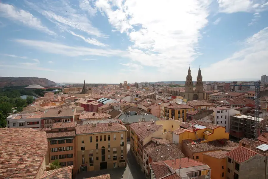
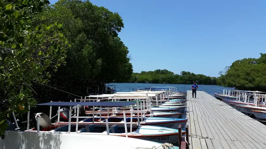
Sights nearby
💡 Tips
- Visit the central park in the late afternoon when locals gather.
- Public transport options are limited, so renting a bicycle or hiring a horse-drawn carriage (bicitaxi/carretón) is practical.
- Sugar cane harvest season (Zafra) gives a unique glimpse into the local economy.
- Bring cash (CUP) as card payments are practically non-existent in small shops.
🍽 Food
Fresh sugar cane juice, find it at small street stands near the sugar mill areas.
Roast pork, look for local paladares (private restaurants) in the town center.
A staple side dish of rice and black beans available at almost any local eatery.
🛍 Shopping · 🧘 Quiet spots
Great for fresh tropical fruits like mangoes and guavas.
Pick up basic snacks and local sweets.
Gives a peaceful walk with rural landscapes near the sugar cane fields.
First-rate for a quiet morning while the town wakes up.
Water temperature…
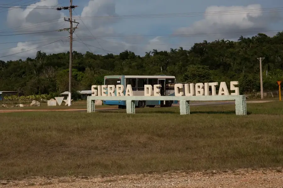
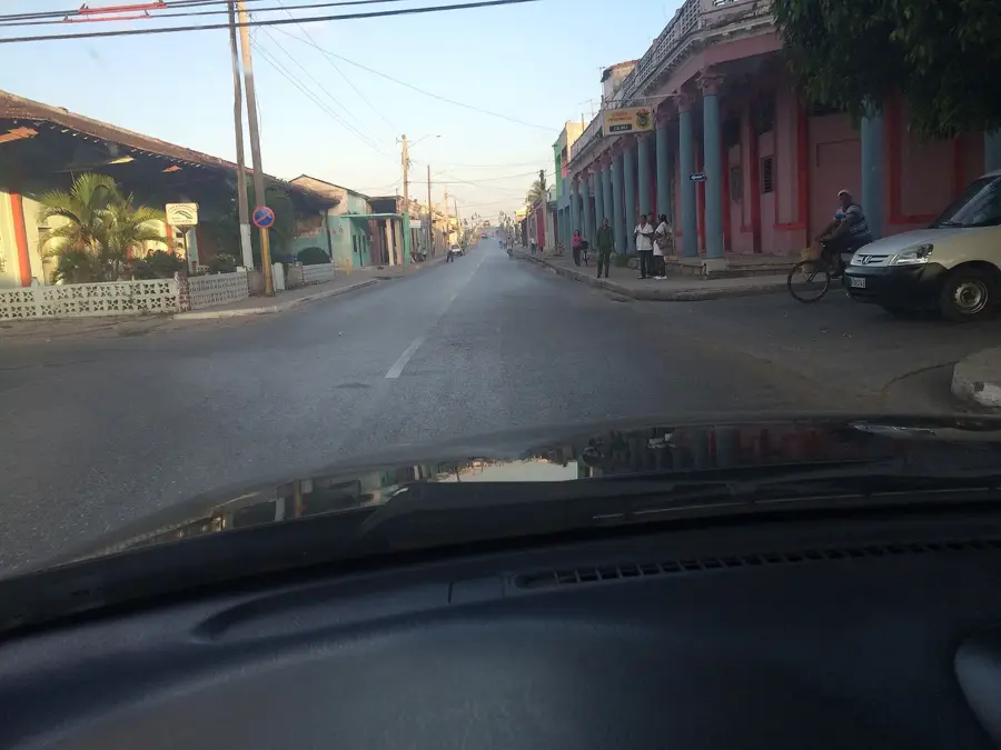
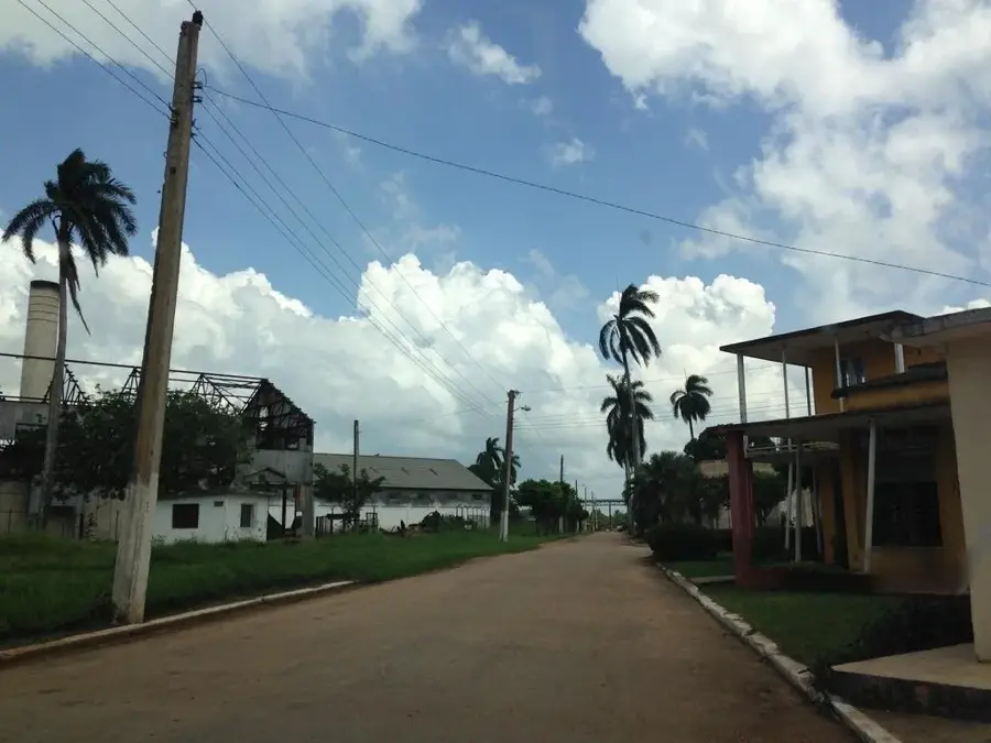
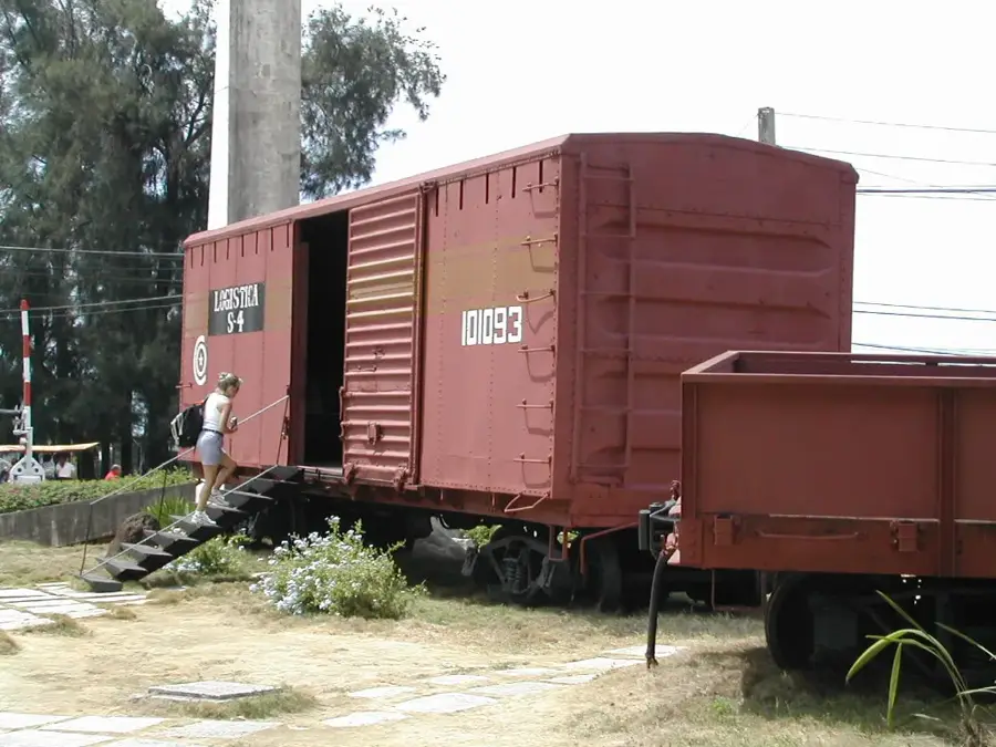
The municipality of Venezuela is located in the southern part of Ciego de Ávila province in central Cuba and serves as a significant hub for regional agriculture. Originally developed in conjunction with the expansion of the sugar industry, the settlement remains economically dependent on sugar production to this day. The terrain is characterized by expansive flat plains, which are extensively used for sugarcane cultivation and cattle ranching. Administratively, the municipality was officially established in 1976 during Cuba's nationwide territorial restructuring. Historically, the area was a site of strategic movements during the Cuban wars of independence against Spanish colonial rule in the 19th century. The local landscape is dominated by industrial facilities related to sugar processing and traditional rural housing. Today, Venezuela maintains its importance as a transport link for agricultural goods being moved toward the port of Júcaro on the southern coast.
- Location: Cuba
- Nearby: Chambas (16 km)
- Population: ~16.601 (2023)
Best time to visit & climate
The most pleasant time to visit is Jan, Feb, Dec.
| Jan | Feb | Mar | Apr | May | Jun | Jul | Aug | Sep | Oct | Nov | Dec | |
|---|---|---|---|---|---|---|---|---|---|---|---|---|
| Avg °C | 24 | 25 | 26 | 27 | 28 | 29 | 29 | 29 | 29 | 28 | 26 | 25 |
| Rain mm | 17 | 22 | 39 | 57 | 154 | 173 | 92 | 142 | 149 | 128 | 41 | 19 |
Geography
Facts
- The municipality covers a total area of approximately 716 square kilometers.
- It was officially established as a municipality in 1976.
- Sugarcane production is the primary driver of the local economy.
- The town is situated south of the provincial capital, Ciego de Ávila.
- The terrain consists mainly of low-lying coastal plains.
- It serves as a logistics point for goods heading to the port of Júcaro.
Explore nearby
Notable places around
Route planner — Car & Motorhome
Where do you start? We build the route here, with stops and country notes along the way.
© OpenStreetMap contributors · OpenRouteService
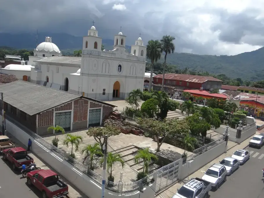
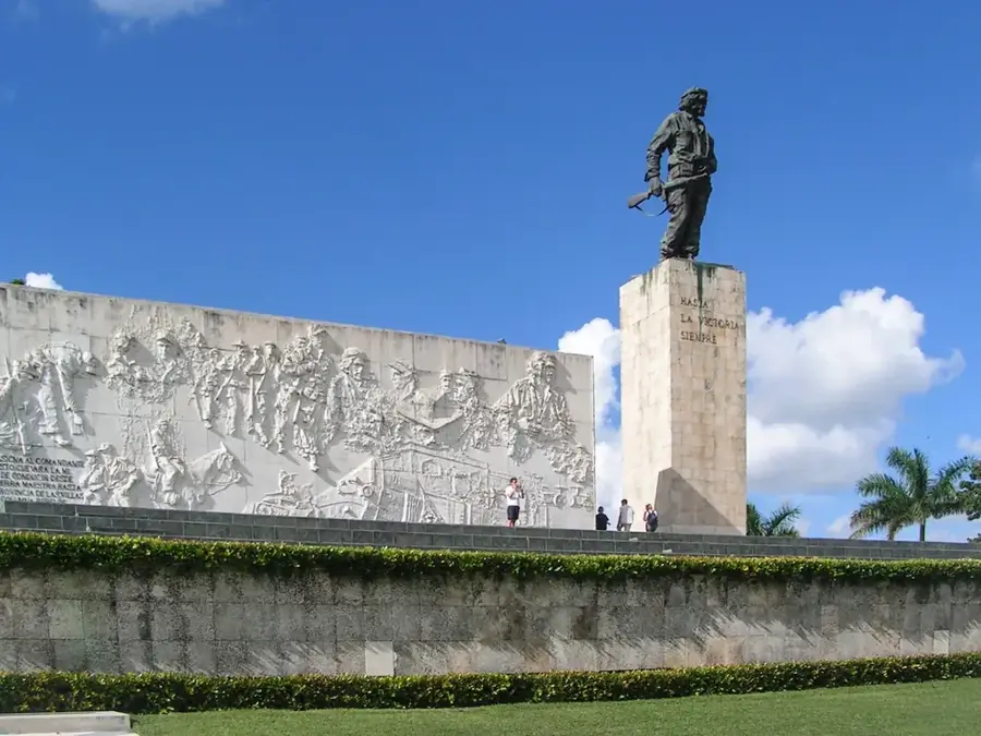
Sights in the town Venezuela (1)
Frequently asked questions
Is the city really named Venezuela?
What is the economic basis?
What can be visited here?
How is the weather?
Is there public transport?
Venezuela: where is it located?
Venezuela: when is the best time to visit?
Venezuela: why is it worth visiting?

Nearby cities

History & landmarks
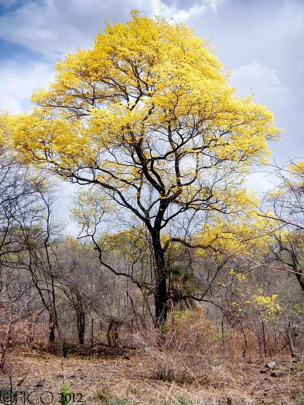
Nature
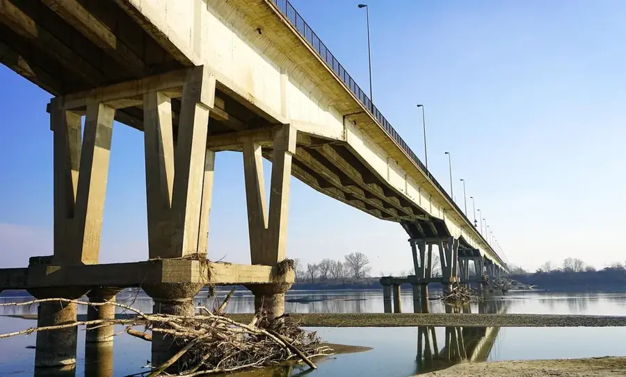
More places