Plizio Visual Lab
Jatibonico
ℹ️Practical info — Jatibonico
▾
🌤 Weather — 5 days
📍 Nearby
Sights nearby
💡 Tips
- Visit during the "Zafra" (sugar cane harvest) to see the local economy in full swing.
- Local transport relies heavily on horse-drawn carts (coches); negotiate the fare before boarding.
- Internet access is generally restricted to the main town square (Parque Jose Marti) using ETECSA cards.
- Bring small denomination CUP (Cuban pesos) for snacks and drinks, as changing large bills is hard.
🍽 Food
Freshly pressed sugar cane juice from roadside stands, incredibly refreshing.
Traditional roast pork, a staple in the local private restaurants (paladares).
Rice and black beans cooked together, served as an accompaniment to almost every meal.
🛍 Shopping · 🧘 Quiet spots
The farmers market offering seasonal fruits like mangoes and guavas.
Small artisanal items occasionally sold near the town center.
The central park is excellent for sitting on a bench under the shade of mature trees.
Walk along the quiet country roads on the edge of town at sunset.
Water temperature…
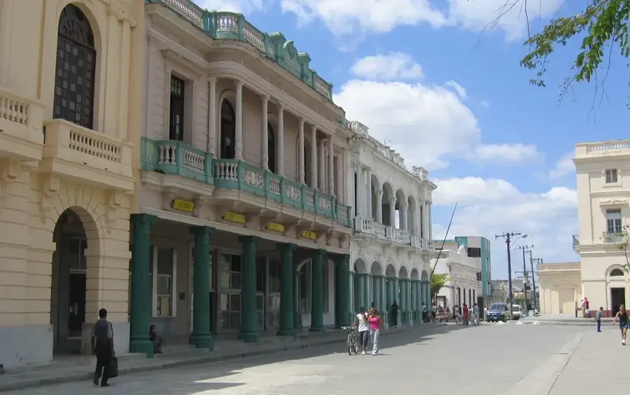
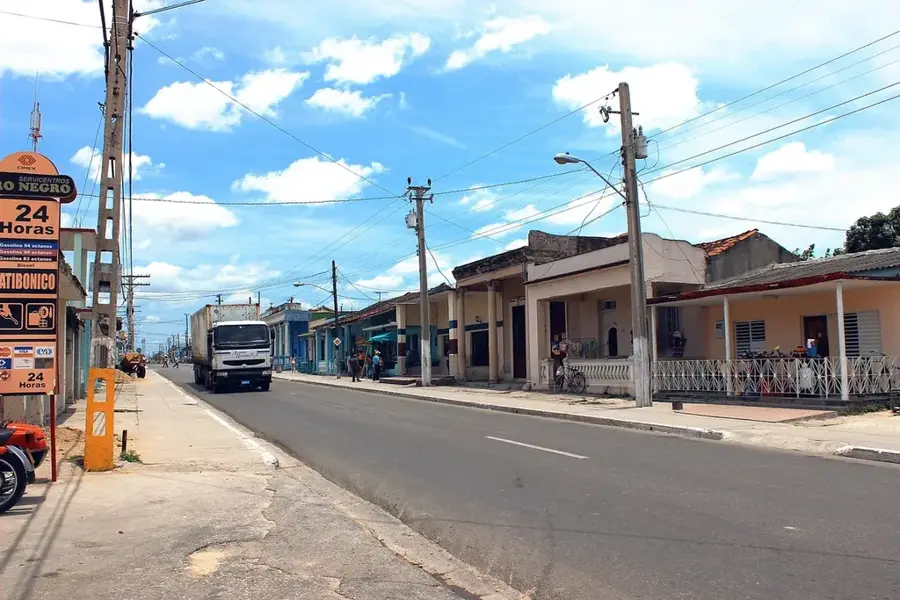
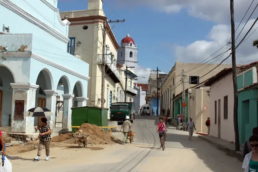
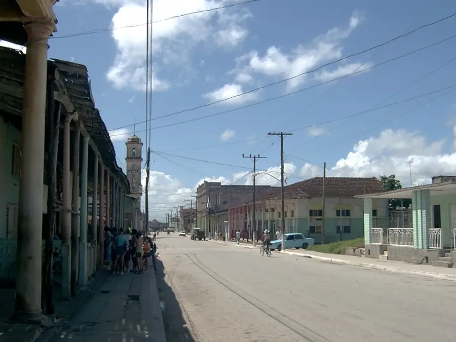
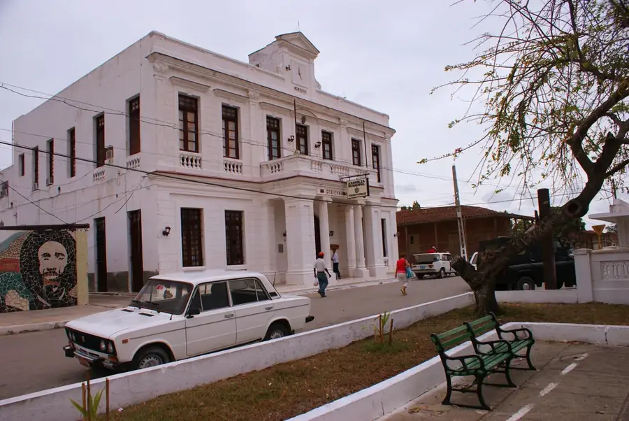
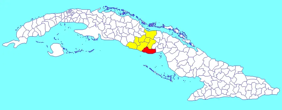
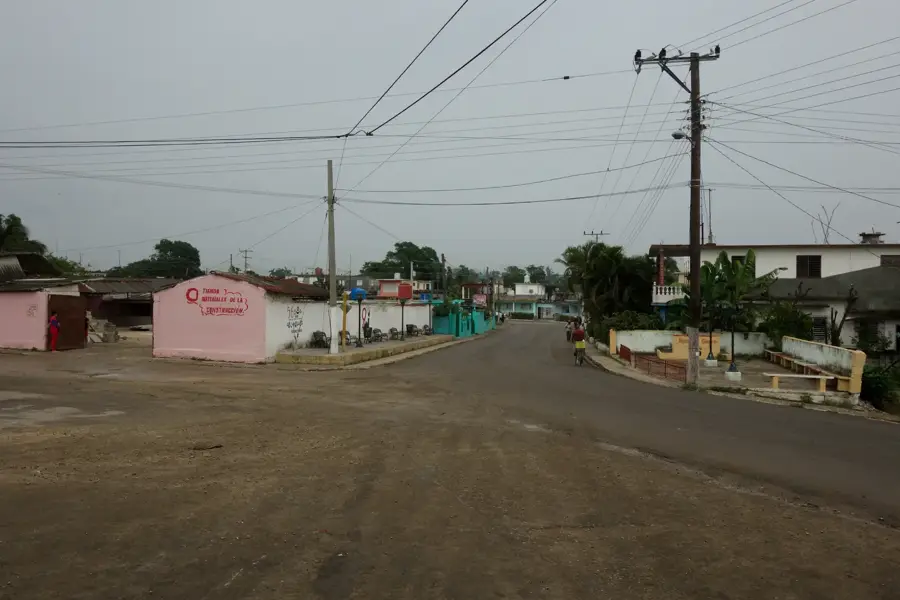
Jatibonico is a town in the eastern part of Sancti Spíritus province, whose growth was historically driven by the construction of the Cuban Central Railway and the expansion of the sugar industry. Formally established as a municipality in 1904, the town's development was largely centered around the "Uruguay" sugar mill, which was once among the most modern and high-yielding facilities in the country. Geographically, the town is situated in a fertile plain bisected by the Jatibonico del Sur River, a key water source for local agriculture. Jatibonico serves as a strategic stop along the Carretera Central, Cuba's primary highway connecting the western and eastern ends of the island. The urban architecture showcases early 20th-century functional styles, alongside a few colonial remnants in the surrounding countryside. Culturally, the town is known for its strong rural traditions and local festivities that celebrate the sugar cane harvest. Nearby lies the Zaza Reservoir, Cuba's largest man-made lake, which is vital for commercial fishing and agricultural irrigation throughout the region.
- Location: Cuba
- Nearby: La Sierpe (9 km)
- Population: ~19.644 (2023)
Best time to visit & climate
The most pleasant time to visit is Jan, Feb, Dec.
| Jan | Feb | Mar | Apr | May | Jun | Jul | Aug | Sep | Oct | Nov | Dec | |
|---|---|---|---|---|---|---|---|---|---|---|---|---|
| Avg °C | 23 | 24 | 25 | 27 | 27 | 28 | 28 | 28 | 28 | 27 | 25 | 24 |
| Rain mm | 16 | 21 | 36 | 53 | 142 | 154 | 84 | 128 | 137 | 116 | 40 | 19 |
Geography
Facts
- Officially established as a municipality in 1904.
- Home to the Uruguay sugar mill, one of the largest in Cuba.
- The town is located along the Jatibonico del Sur River.
- A significant transit point on the Carretera Central highway.
- Located near the Zaza Reservoir, Cuba's largest man-made lake.
- The local economy is primarily driven by sugar and livestock.
Explore nearby
Notable places around
Route planner — Car & Motorhome
Where do you start? We build the route here, with stops and country notes along the way.
© OpenStreetMap contributors · OpenRouteService
Frequently asked questions
What is Jatibonico known for?
Are there sights to see?
Can you stay overnight?
What is the terrain like?
Are there restaurants?
Jatibonico: where is it located?
Jatibonico: when is the best time to visit?
Jatibonico: why is it worth visiting?

Nearby cities
Nature
More places