Plizio Visual Lab
San Miguel
ℹ️Practical info — San Miguel
▾
🌤 Weather — 5 days
📍 Nearby
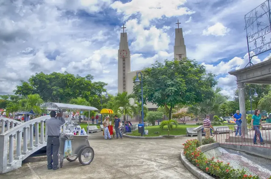
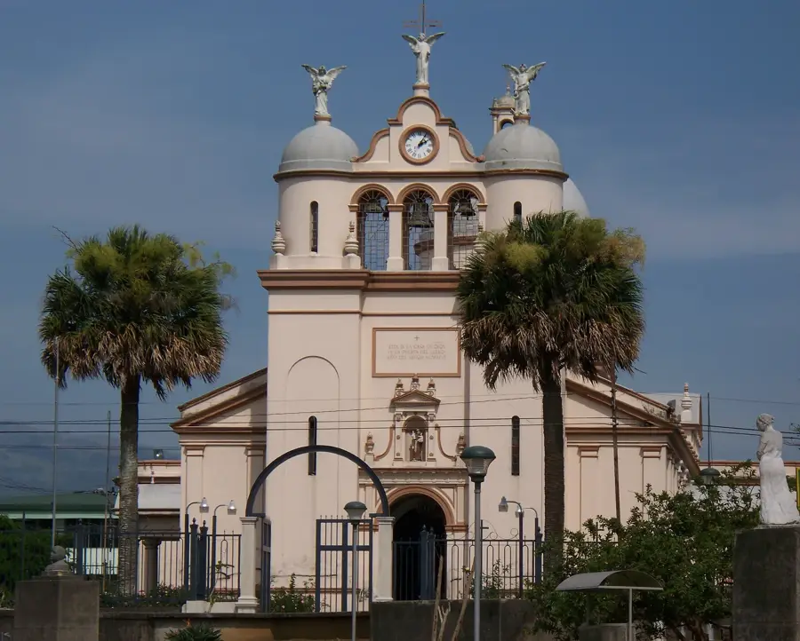
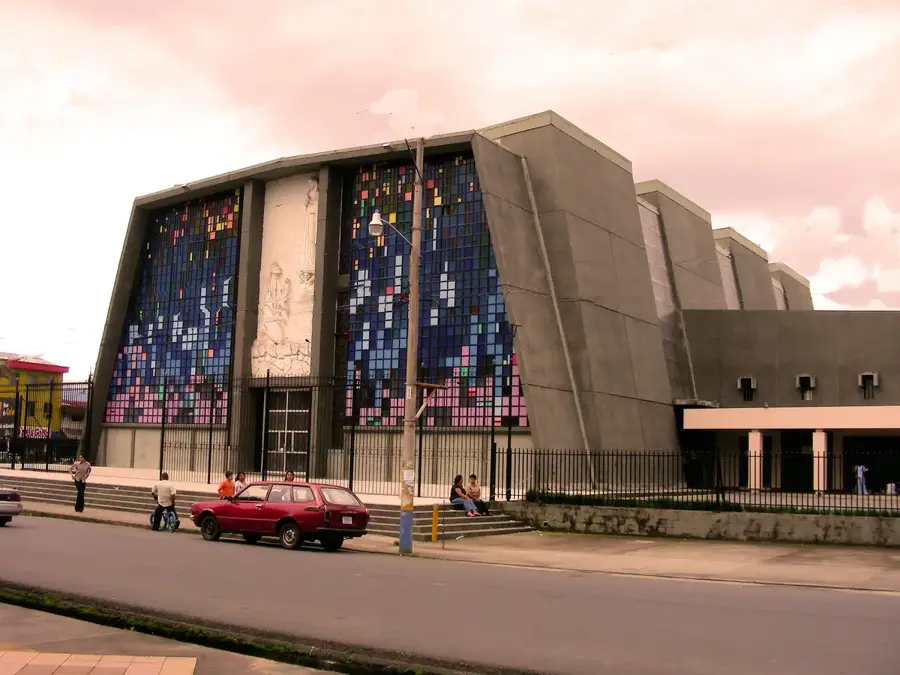
Sights nearby
💡 Tips
- It's a busy residential sector; commute times to central San José can be long during rush hour.
- Use local taxis or ride-sharing apps for the safest and most convenient travel.
- Explore the surrounding hills for surprising and expansive views of the Central Valley.
- Enjoy the authentic, unhurried local community vibe in the neighborhood parks.
🍽 Food
Best enjoyed alongside a cold drink at a local neighborhood "cantina".
A sweet corn bread you can find fresh in the local bakeries.
Fresh fruit smoothies available at small, local fruit stands.
🛍 Shopping · 🧘 Quiet spots
Great spots to pick up fresh traditional bread and sweet treats.
Head down to the main district center for more extensive shopping options and lively markets.
A nearby forested hill offering a natural break from the urban sprawl.
Small parks that are good for a brief rest and people-watching during the day.
Water temperature…
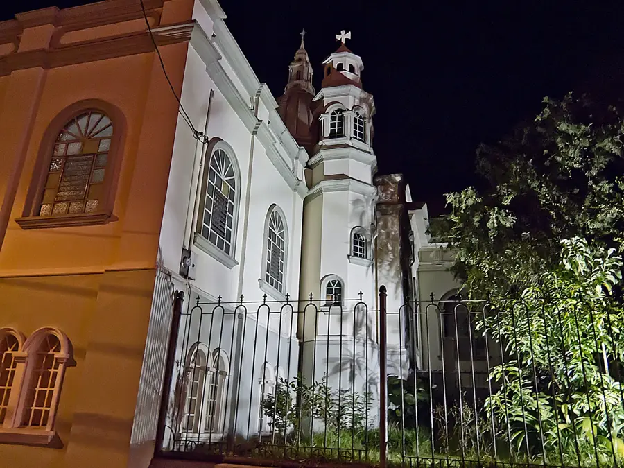
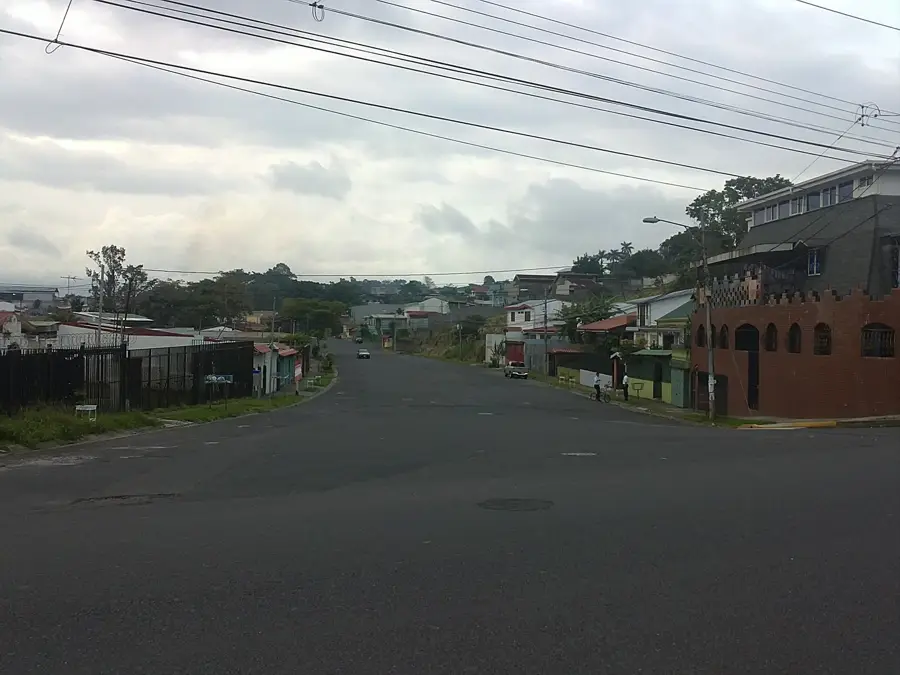
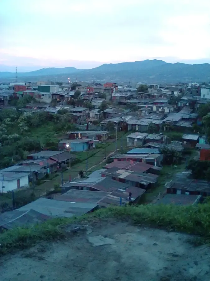
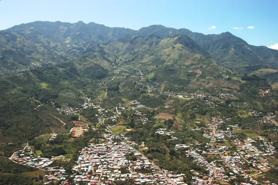
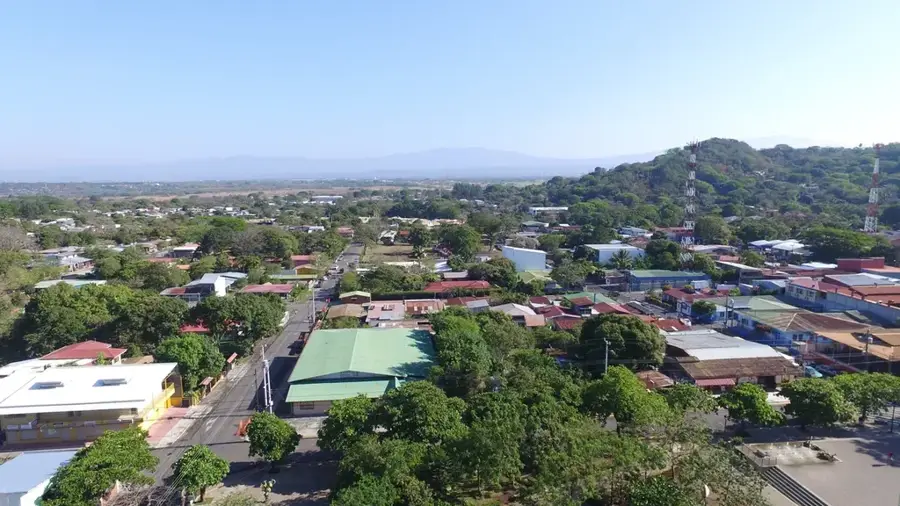
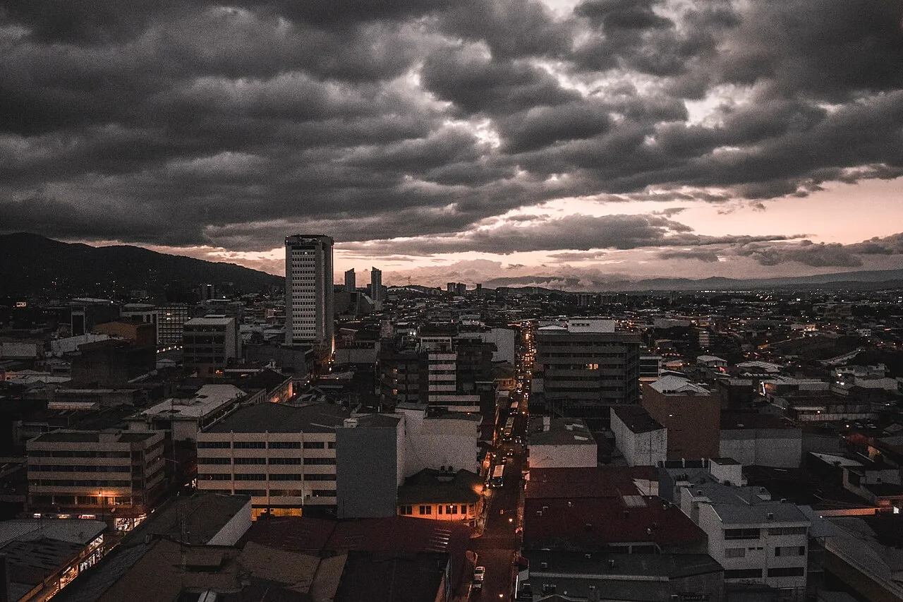
San Miguel is a thriving residential district within the Desamparados canton, situated on the southern fringes of the San José metropolitan area. The town is characterized by its undulating, hilly landscape, which gives residents and visitors panoramic views across the Central Valley. Historically a rural outpost, it has transformed into a key suburban hub for commuters working in the capital, leading to a steady expansion of housing and local services. The heart of the community revolves around its central plaza and church, where traditional Costa Rican life persists despite the surrounding urban growth. Its elevation provides a slightly cooler climate than the city center, and its proximity to the foothills of the southern mountains makes it a convenient starting point for exploring the more rural and natural aspects of the San José province.
- Location: Costa Rica
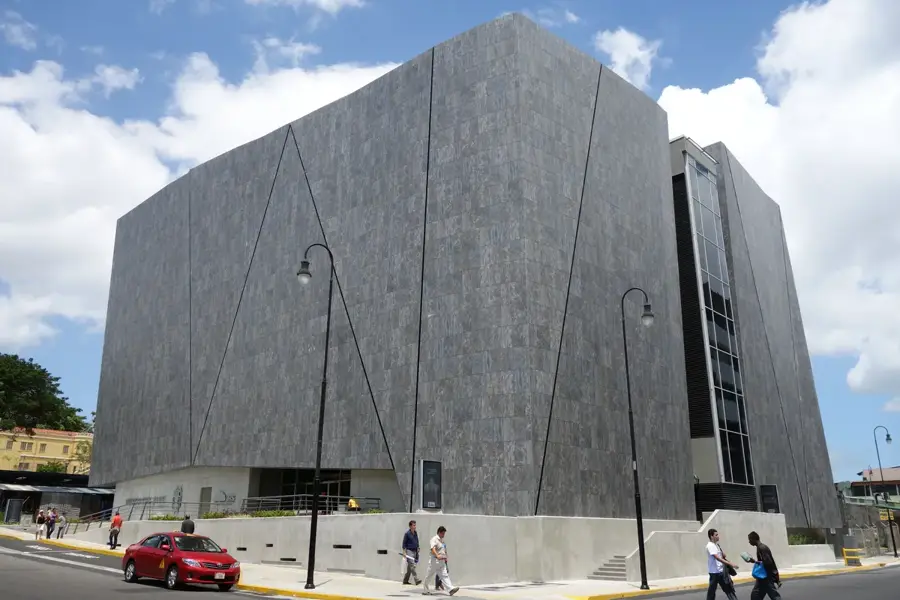
- Top sights: Los Guido · Gravilias · Damas District
- Nearby: Aserrí (4 km)
- Population: ~28.827 (2018)
Best time to visit & climate
The most pleasant time to visit is Feb–Apr.
| Jan | Feb | Mar | Apr | May | Jun | Jul | Aug | Sep | Oct | Nov | Dec | |
|---|---|---|---|---|---|---|---|---|---|---|---|---|
| Avg °C | 19 | 19 | 20 | 21 | 21 | 21 | 20 | 21 | 21 | 20 | 20 | 20 |
| Rain mm | 119 | 70 | 76 | 117 | 243 | 239 | 253 | 214 | 231 | 285 | 258 | 162 |
Geography
Facts
- District of Desamparados canton
- South of central San Jos?
- Hilly terrain above the Central Valley
- Residential expansion zone
- Part of the metropolitan fringe
- Links the capital with southern communities
Explore nearby
Notable places around
Route planner — Car & Motorhome
Where do you start? We build the route here, with stops and country notes along the way.
© OpenStreetMap contributors · OpenRouteService
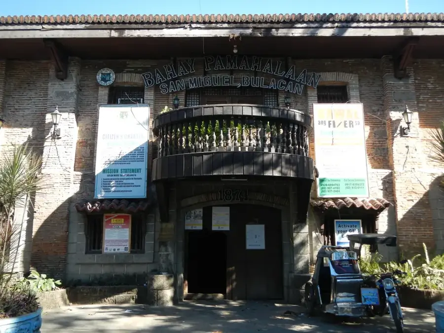
Sights in the town San Miguel (3)
Frequently asked questions
What characterizes San Miguel?
How to get there from San José?
Are there tourist attractions?
When is the best time to visit?
Is the area safe?
San Miguel: where is it located?
San Miguel: what is there to see?
San Miguel: when is the best time to visit?
San Miguel: why is it worth visiting?

Nearby cities


History & landmarks

More places