Plizio Visual Lab
Torngat Mountains
Weather…
Water temperature…
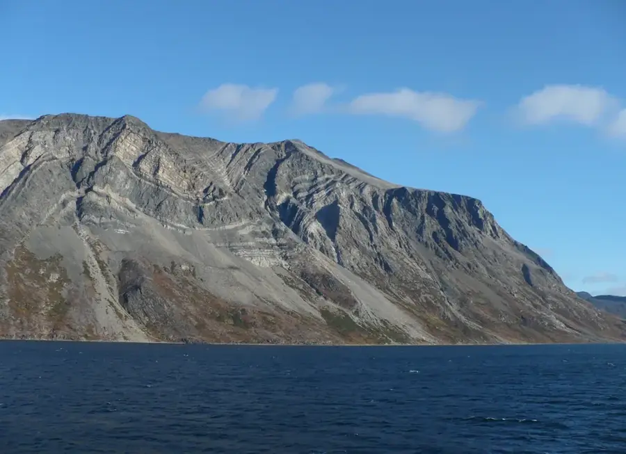
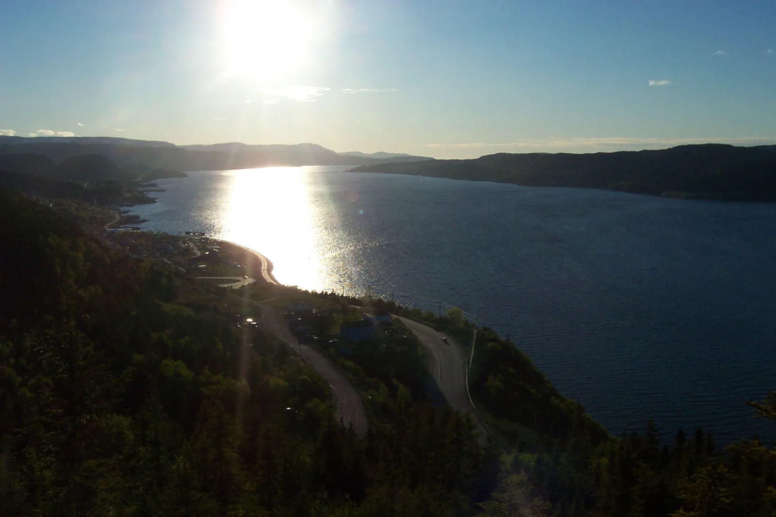
The Torngat Mountains are a prominent range on the Labrador Peninsula in northeastern Canada, running along the border between Newfoundland and Labrador and Quebec. The name Torngat is derived from the Inuit word "Inuktitut," meaning "place of spirits," signifying the region's profound spiritual importance to the Inuit people. The highest peak is Mount Caubvick (known as Mont d'Iberville in Quebec), rising to 1,652 meters (5,420 feet), making it the highest point in both provinces. The landscape is defined by spectacular fjords, sheer rock faces, and small glaciers that are among the southernmost in the Arctic zone. Geologically, these mountains are part of the Canadian Shield and consist of some of the oldest metamorphic rocks on Earth. Since 2005, a large portion of the range has been protected within the Torngat Mountains National Park, which is managed in close partnership with the Inuit. The region serves as a critical habitat for the Torngat Mountains caribou herd and polar bears, which are frequently spotted along the coast in summer.
Explore on the map
How well do you know Canada?
Find cities, landscapes and regions in 10 varied challenges on the interactive map.
Your journey, your memory
A postcard from Torngat Mountains
Turn your own photo into a personal postcard with a local stamp. Free and no sign-up required.
Create a postcard- Location: Canada
- Highlights: Innuit Mountain · Idyutak Mountain · Kutyautak Mountain
Best time to visit & climate
The most pleasant time to visit is Jun–Aug.
| Jan | Feb | Mar | Apr | May | Jun | Jul | Aug | Sep | Oct | Nov | Dec | |
|---|---|---|---|---|---|---|---|---|---|---|---|---|
| Avg °C | -23 | -24 | -18 | -10 | -3 | 3 | 8 | 7 | 2 | -3 | -10 | -17 |
| Rain mm | 58 | 47 | 48 | 63 | 56 | 83 | 109 | 104 | 99 | 92 | 78 | 57 |
📋 Practical info
Geography
Facts
- The name Torngat means "Place of Spirits" in the Inuit language.
- Mount Caubvick is the highest peak at 1,652 meters elevation.
- The range contains rocks dating back as far as 3.9 billion years.
- Torngat Mountains National Park was established in 2005.
- There are no permanent human inhabitants within the mountain range.
- The range hosts the only active glaciers in eastern continental Canada.
Route planner — Car & Motorhome
Where do you start? We build the route here, with stops and country notes along the way.
© OpenStreetMap contributors · OpenRouteService
Sights in the town Torngat Mountains (3)
Sights nearby
Frequently asked questions
How do you reach the Torngat Mountains?
Are there polar bears there?
When is the best time to visit?
Where can you stay?
What is the cultural significance?
Torngat Mountains: where is it located?
Torngat Mountains: what is there to see?
Torngat Mountains: when is the best time to visit?
Torngat Mountains: why is it worth visiting?
Nearby cities

History & landmarks
More places