Plizio Visual Lab
Gros Morne Mountain
Weather…
Water temperature…
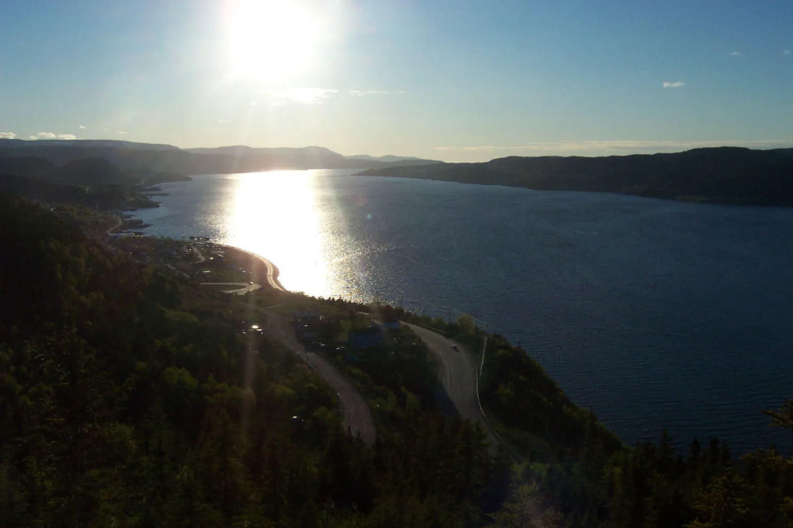
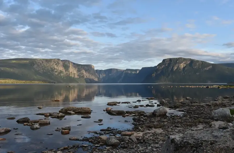
Gros Morne Mountain is the second-highest peak on the island of Newfoundland, rising to 806 meters within the eponymous national park on the west coast. Part of the Long Range Mountains, an outpost of the Appalachian chain, the mountain is primarily composed of resilient quartzite. The area is geologically world-renowned as a textbook example of plate tectonics, particularly due to the nearby Tablelands where Earth's mantle has been thrust to the surface. The summit of Gros Morne features a barren alpine tundra landscape, providing a stark contrast to the lush forests and deep fjords at its base. This high-altitude environment is a crucial habitat for rock ptarmigan and arctic hares, which are uniquely adapted to the harsh conditions. The hiking trail to the summit is one of the most challenging and sought-after in the province, offering panoramic views of the Ten Mile Pond fjord. Because of its exceptional geological value and natural beauty, the park was designated a UNESCO World Heritage site in 1987.
- Location: Canada
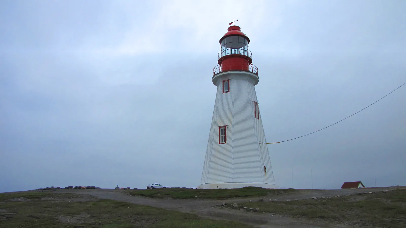
- Top sights: Green Point Hill · Baker's Brook Fall · Photographer's Lookout
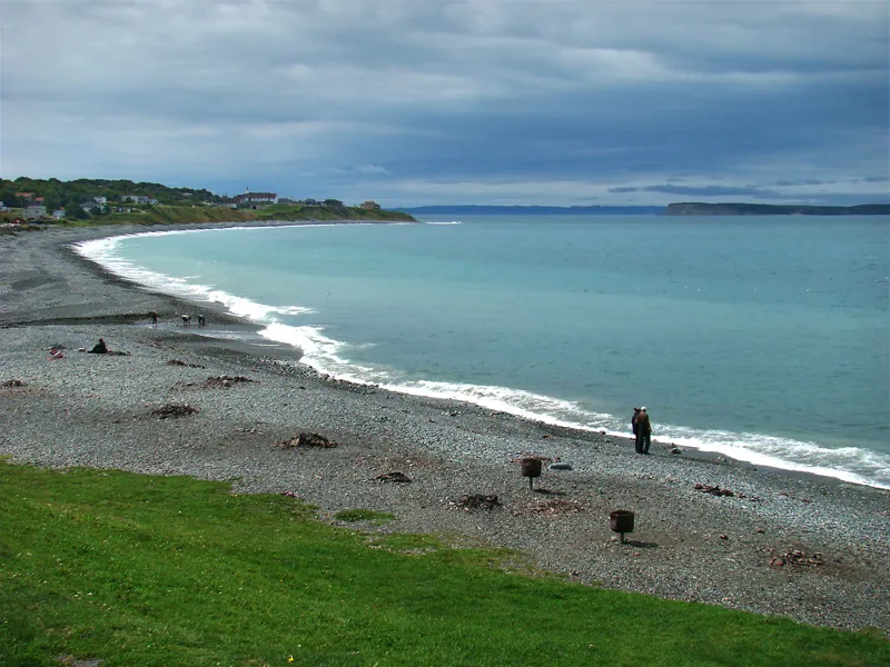
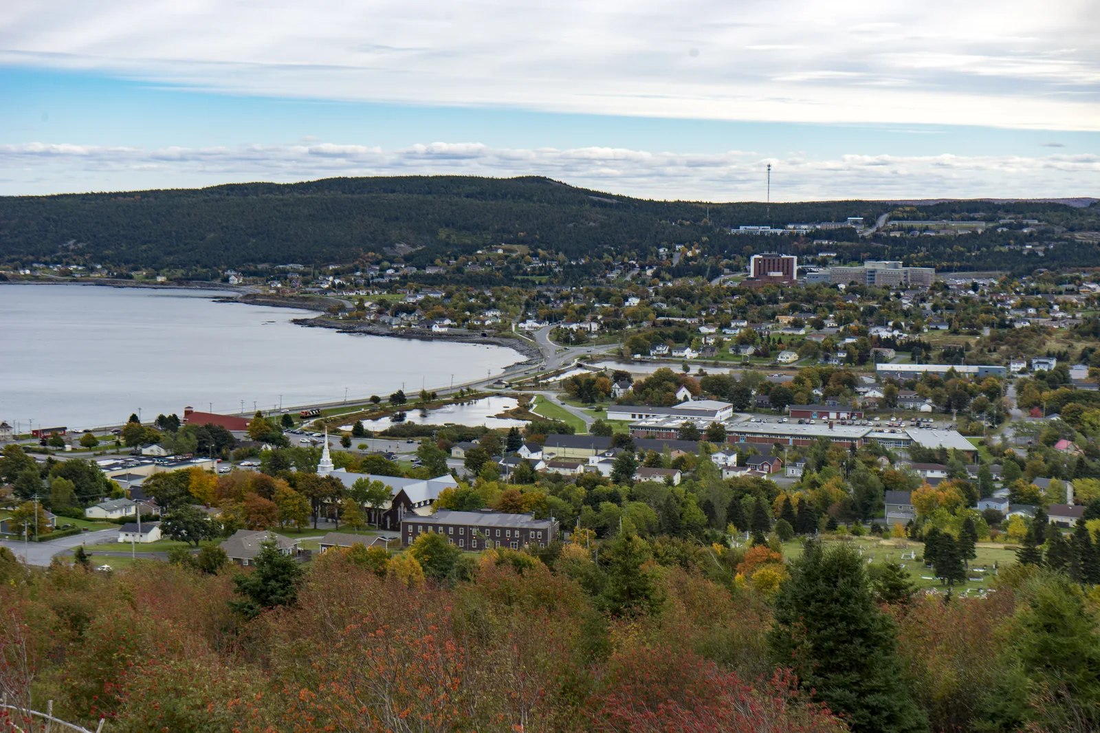
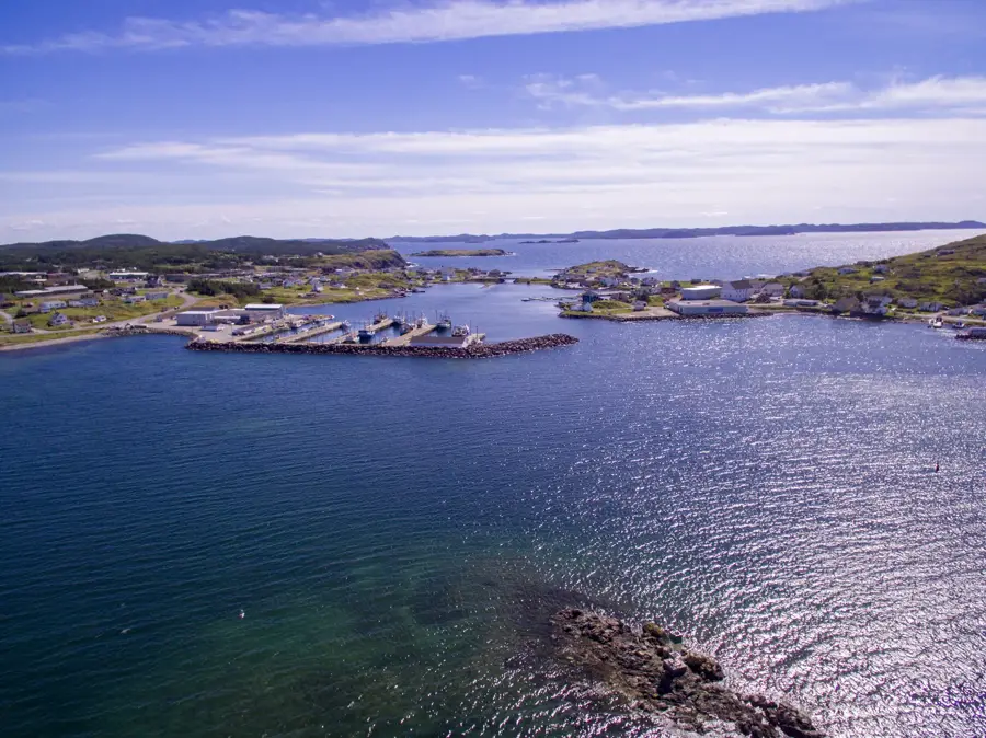
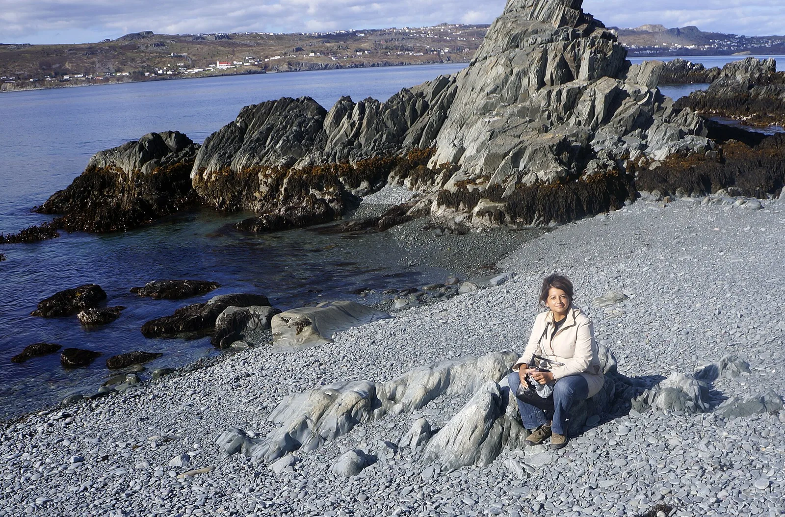
- Nearby: Rocky Harbour (Gros Morne) (9 km)
Best time to visit & climate
The most pleasant time to visit is Jun–Aug.
| Jan | Feb | Mar | Apr | May | Jun | Jul | Aug | Sep | Oct | Nov | Dec | |
|---|---|---|---|---|---|---|---|---|---|---|---|---|
| Avg °C | -6 | -7 | -5 | 0 | 5 | 10 | 15 | 16 | 12 | 7 | 2 | -3 |
| Rain mm | 128 | 113 | 93 | 88 | 95 | 94 | 110 | 118 | 134 | 125 | 134 | 133 |
📋 Practical info
Geography
Facts
- Gros Morne Mountain stands at an elevation of 806 meters.
- Gros Morne National Park was named a UNESCO World Heritage site in 1987.
- The mountain is composed of quartzite dating back over 500 million years.
- The summit hiking trail is a rigorous 16-kilometer loop.
- The mountaintop hosts an arctic-alpine environment rare for its latitude.
- The name 'Gros Morne' is French for 'great somber mountain' or 'large brooding mountain'.
Explore nearby
Notable places around
Route planner — Car & Motorhome
Where do you start? We build the route here, with stops and country notes along the way.
© OpenStreetMap contributors · OpenRouteService
Sights in the town Gros Morne Mountain (7)
Sights nearby
Frequently asked questions
Where is Gros Morne Mountain located?
How strenuous is the hike?
Can you climb the mountain anytime?
What can you see from the summit?
Are there wild animals there?
Gros Morne Mountain: where is it located?
Gros Morne Mountain: what is there to see?
Gros Morne Mountain: when is the best time to visit?
Gros Morne Mountain: why is it worth visiting?

Nearby cities