Plizio Visual Lab
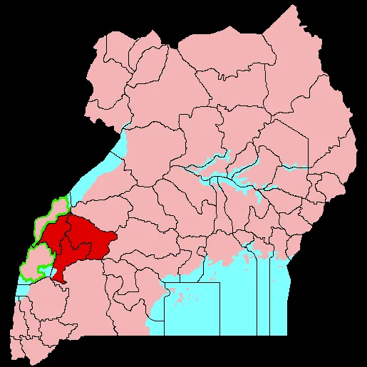
Albertine Rift
Weather…
Water temperature…
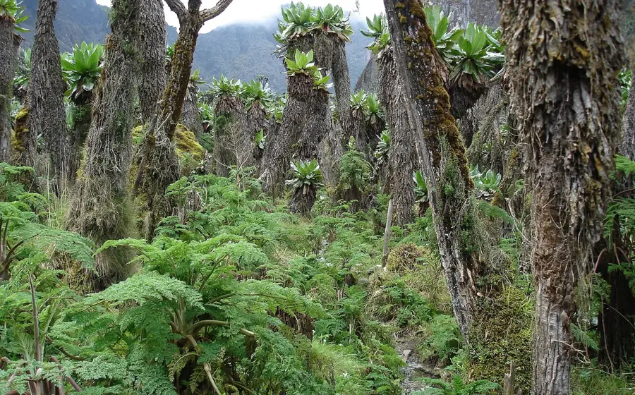
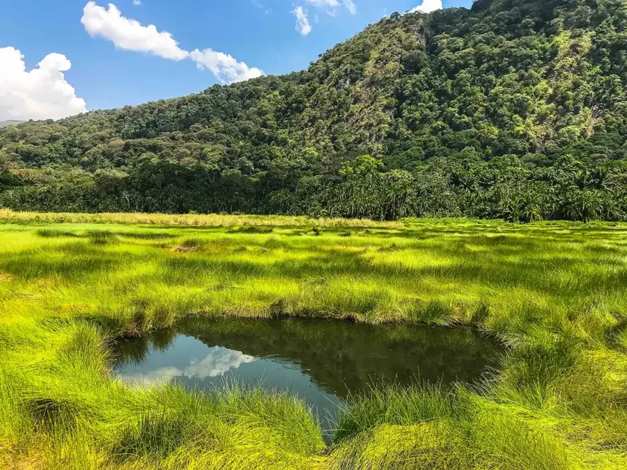
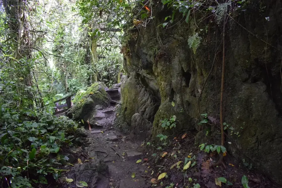
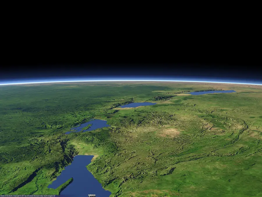
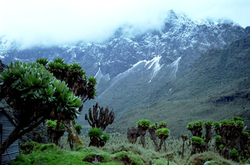
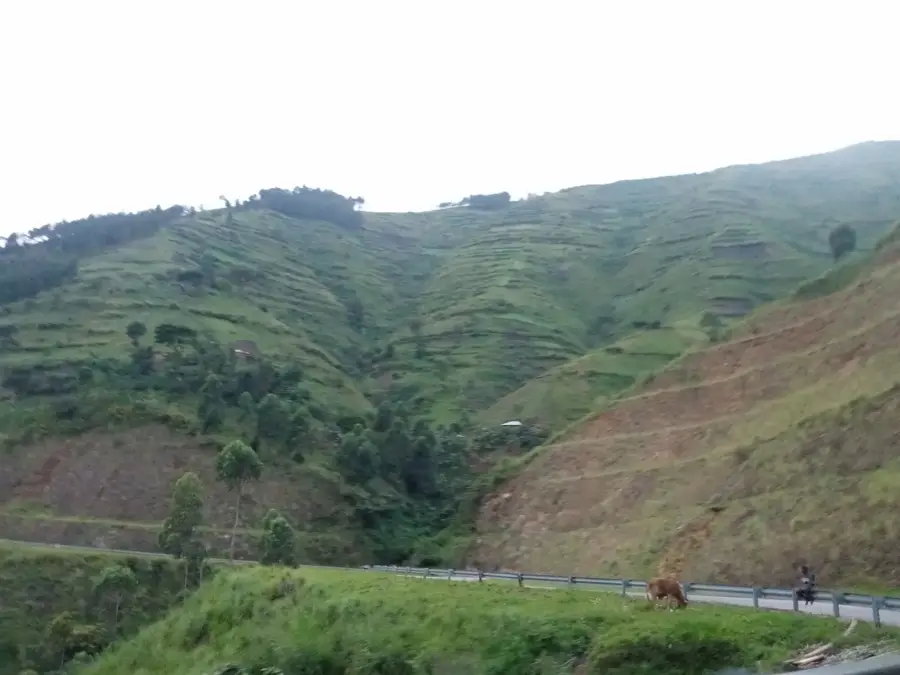
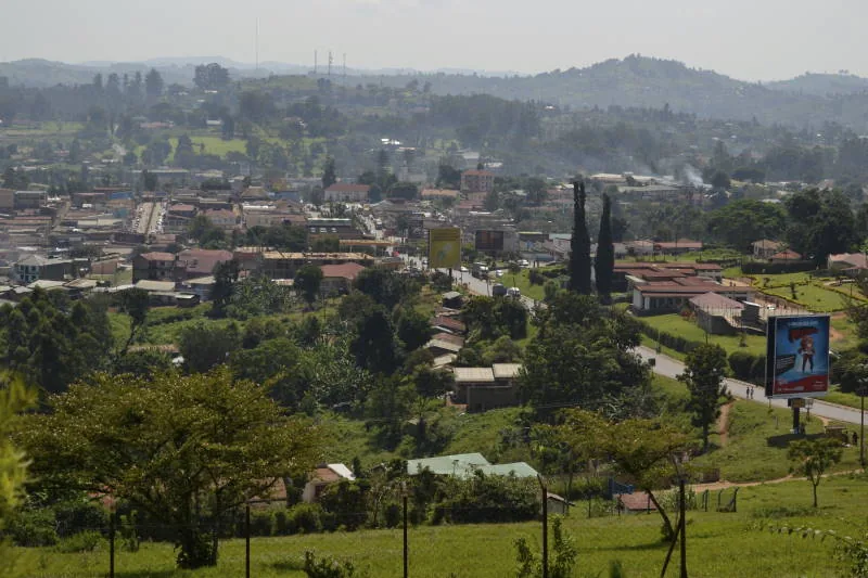
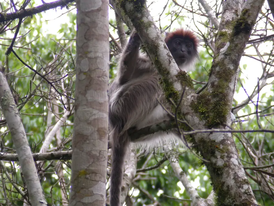
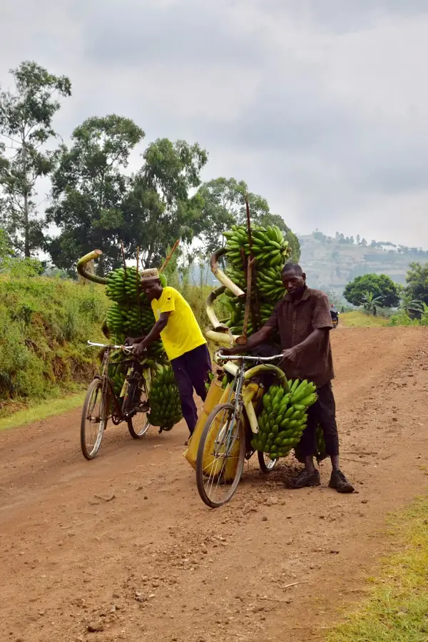
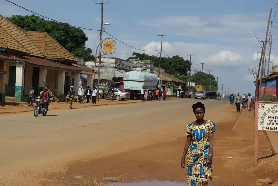
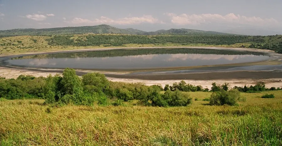
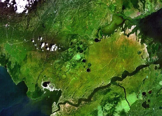
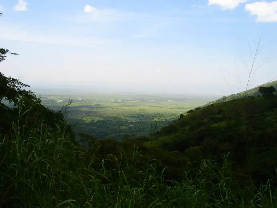
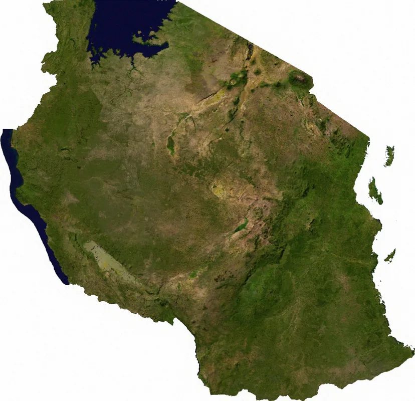
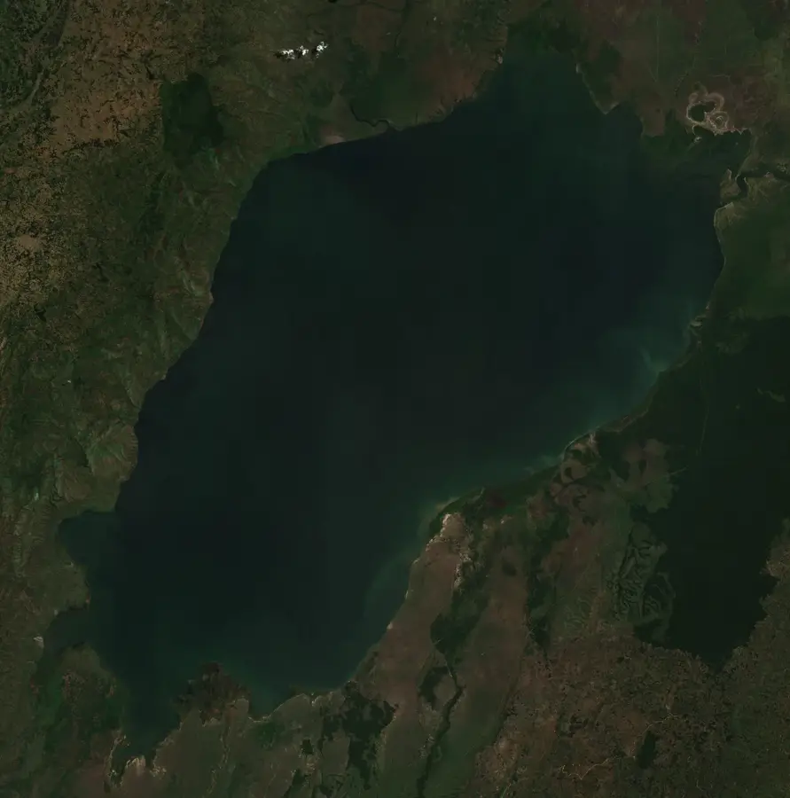
The Albertine Rift is the western arm of the East African Rift system, extending from the northern end of Lake Albert to the southern end of Lake Tanganyika. It traverses parts of Uganda, the Democratic Republic of the Congo, Rwanda, Burundi, and Tanzania. This region features some of Africa's highest mountains, including the Virunga Mountains and the Rwenzori Mountains, as well as some of the world's deepest lakes, such as Lake Tanganyika, which reaches a maximum depth of 1,470 meters. The rift is a biodiversity hotspot, home to more endemic vertebrate species than any other region on the African continent. These include the mountain gorilla, Grauer's gorilla, and numerous unique birds, amphibians, and fish. The tectonic activity in the region, including volcanism and earthquakes, is due to the Somali Plate pulling away from the rest of the African plate. Its diverse ecosystems range from glaciers on the peaks of the Rwenzori Mountains to tropical rainforests and savannas in the valleys.
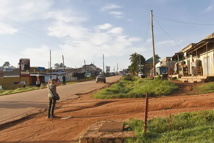
- Location: Uganda
- Nearby: Rwenzori Mountains National Park (11 km)
Best time to visit & climate
The most pleasant time to visit is Jan, Feb, Jul.
| Jan | Feb | Mar | Apr | May | Jun | Jul | Aug | Sep | Oct | Nov | Dec | |
|---|---|---|---|---|---|---|---|---|---|---|---|---|
| Avg °C | 21 | 21 | 21 | 20 | 20 | 20 | 20 | 20 | 20 | 20 | 20 | 20 |
| Rain mm | 71 | 69 | 137 | 138 | 123 | 97 | 86 | 133 | 155 | 170 | 163 | 99 |
📋 Practical info
Geography
Facts
- The Albertine Rift is home to 37 endemic bird species.
- Lake Tanganyika is the world's second-deepest freshwater lake.
- It stretches for a length of approximately 1,600 kilometers (994 miles).
- The Rwenzori Mountains within the rift reach an elevation of 5,109 meters.
- The region is home to 14 primate species, including the chimpanzee and mountain gorilla.
- The formation of the rift is estimated to have begun around 12 million years ago.
- The rift contains significant petroleum and natural gas reserves, particularly under Lake Albert.
Explore nearby
Notable places around
Route planner — Car & Motorhome
Where do you start? We build the route here, with stops and country notes along the way.
© OpenStreetMap contributors · OpenRouteService
Sights nearby
Frequently asked questions
What is the Albertine Rift?
Is it good for hiking?
Are there parks there?
When to visit?
Do I need a visa?
Albertine Rift: where is it located?
Albertine Rift: when is the best time to visit?
Albertine Rift: why is it worth visiting?

Nearby cities

Nature
More places